Carnedd Iago
Hill, Mountain in Merionethshire
Wales
Carnedd Iago
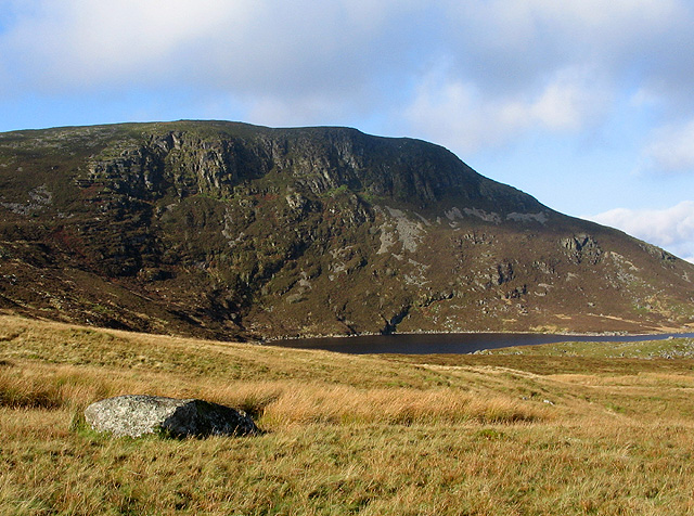
Carnedd Iago is a prominent hill located in the county of Merionethshire, Wales. It is situated in the southern part of Snowdonia National Park, near the village of Llanymawddwy. Standing at an elevation of approximately 570 meters (1,870 feet), it offers stunning panoramic views of the surrounding area.
The hill is characterized by its rugged terrain, with steep slopes and rocky outcrops. It is mainly composed of slate and is a popular destination for hikers and climbers looking for a challenging ascent. The climb to the summit can be demanding, but the breathtaking vistas make it well worth the effort.
Carnedd Iago is also known for its rich biodiversity. The hill is home to a variety of plant species, including heather, bilberry, and wildflowers. It provides a habitat for several bird species, such as red grouse and peregrine falcons, as well as mammals like mountain hares and red deer.
In addition to its natural beauty, Carnedd Iago holds historical significance. It is believed to have been an important site during the Iron Age, with traces of ancient settlements and burial mounds discovered in the area. The hill is also associated with Welsh folklore, with tales of mythical creatures and legends passed down through generations.
Overall, Carnedd Iago offers outdoor enthusiasts a challenging yet rewarding experience, combining stunning landscapes, diverse wildlife, and a touch of ancient history.
If you have any feedback on the listing, please let us know in the comments section below.
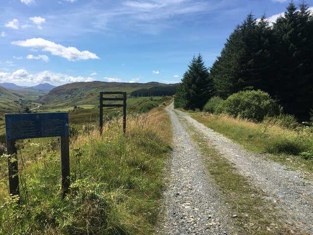
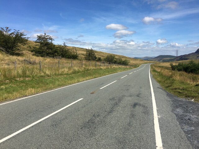
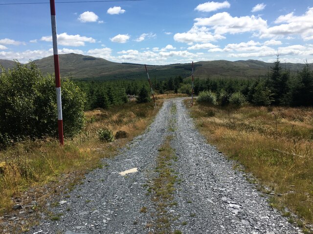
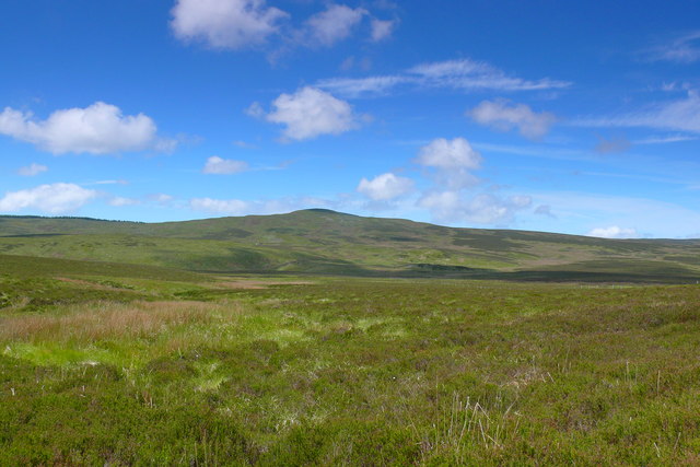
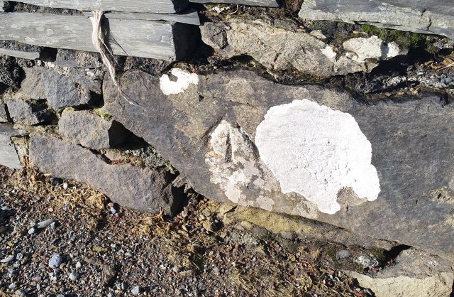
Carnedd Iago Images
Images are sourced within 2km of 52.949424/-3.8132373 or Grid Reference SH7840. Thanks to Geograph Open Source API. All images are credited.


Carnedd Iago is located at Grid Ref: SH7840 (Lat: 52.949424, Lng: -3.8132373)
Unitary Authority: Conwy
Police Authority: North Wales
What 3 Words
///throwaway.swift.storyline. Near Ffestiniog, Gwynedd
Nearby Locations
Related Wikis
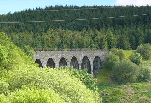
Cwm Prysor Viaduct
Cwm Prysor Viaduct, which is occasionally referred to as Blaen-y-Cwm Viaduct, is a railway viaduct which crosses the Afon Prysor in thinly populated uplands...

Migneint
The Migneint (Welsh pronunciation: [ˈmɪɡnaint]) is a large expanse of moorland in central Snowdonia, north-west Wales. It is part of the Migneint-Arenig...
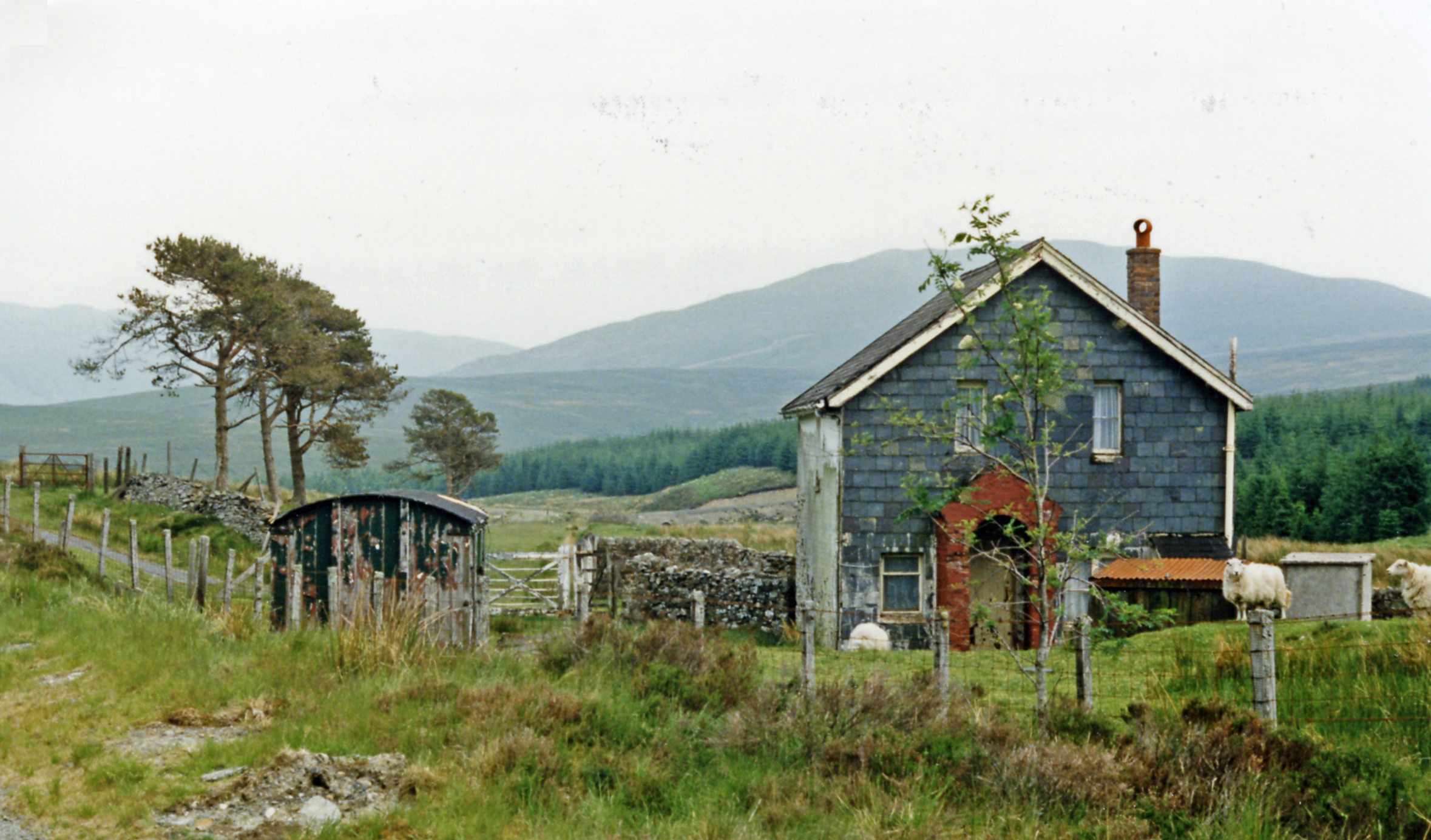
Cwm Prysor Halt railway station
Cwm Prysor Halt (named simply Cwm Prysor until 1953) was a railway station which served the remote rural area of Cwm Prysor, east of Trawsfynydd, Gwynedd...
Arenig Fach
Arenig Fach is a mountain in southern Snowdonia, north Wales. It is a peak in the Arenig range and lies to the north of its parent peak Arenig Fawr. It...

Bryn-Celynog Halt railway station
Bryn-Celynog Halt (sometimes written as Bryncelynog Halt) was an unstaffed solely passenger railway station which served the rural area of Bryn-Celynog...

Arenig railway station
Arenig railway station stood beneath Arenig Fawr on the Great Western Railway's Bala Ffestiniog Line in Gwynedd, Wales. It served this thinly populated...
Llyn Conwy
Llyn Conwy (SH780462) is a lake in the county of Conwy in central north Wales. It is the source of the River Conwy which, on flowing south out of the lake...
Foel Boeth
Foel Boeth is the twin top of Gallt y Daren in the southern half of the Snowdonia National Park in Gwynedd, North Wales, and forms part of the Arenig mountain...
Nearby Amenities
Located within 500m of 52.949424,-3.8132373Have you been to Carnedd Iago?
Leave your review of Carnedd Iago below (or comments, questions and feedback).