Barr Hill
Hill, Mountain in Kirkcudbrightshire
Scotland
Barr Hill

Barr Hill is a prominent hill located in Kirkcudbrightshire, a historic county in southwestern Scotland. Rising to a height of approximately 264 meters (866 feet), it offers breathtaking panoramic views of the surrounding countryside. The hill is situated near the town of Gatehouse of Fleet and lies within the Galloway Forest Park, renowned for its picturesque landscapes and diverse wildlife.
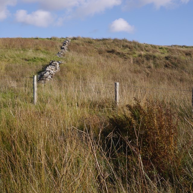
Barr Hill is primarily composed of granite, giving it a distinct appearance and making it a popular destination for rock climbers and hikers. The hill is characterized by its gently sloping sides, making it accessible to visitors of varying fitness levels. Its summit is marked by a trig point, providing a convenient landmark for those venturing to its peak.
The hill's location within the Galloway Forest Park means that it is often enveloped by lush greenery, with a variety of trees and plant species dotting its slopes. The area is also home to a range of wildlife, including deer, rabbits, and a variety of bird species, making it a haven for nature enthusiasts and birdwatchers.
Accessible by well-maintained paths and trails, Barr Hill offers a range of recreational activities, including walking, hiking, and picnicking. Its strategic location provides visitors with unparalleled views of the surrounding countryside, including the nearby lochs, rolling hills, and expansive forests.
Overall, Barr Hill in Kirkcudbrightshire offers a stunning natural landscape, a haven for outdoor enthusiasts seeking a combination of breathtaking views and recreational activities.
If you have any feedback on the listing, please let us know in the comments section below.
Barr Hill Images
Images are sourced within 2km of 55.111894/-3.912299 or Grid Reference NX7881. Thanks to Geograph Open Source API. All images are credited.


Barr Hill is located at Grid Ref: NX7881 (Lat: 55.111894, Lng: -3.912299)
Unitary Authority: Dumfries and Galloway
Police Authority: Dumfries and Galloway
What 3 Words
///scariest.puns.spot. Near Thornhill, Dumfries & Galloway
Nearby Locations
Related Wikis

Craigenputtock
Craigenputtock (usually spelled by the Carlyles as Craigenputtoch) is an estate in Scotland where Thomas Carlyle lived from 1828 to 1834. He wrote several...

Dumfries and Galloway
Dumfries and Galloway (Scots: Dumfries an Gallowa; Scottish Gaelic: Dùn Phrìs is Gall-Ghaidhealaibh) is one of the 32 unitary council areas of Scotland...

Corsock
Corsock (Scottish Gaelic: Corsag) is a village in the historical county of Kirkcudbrightshire, Dumfries and Galloway, south-west Scotland. It is located...

Glenkiln Sculpture Park
Glenkiln Sculpture Park was a sculpture landscape in the historic county of Kirkcudbrightshire in Dumfries and Galloway, south-west Scotland. After one...
Nearby Amenities
Located within 500m of 55.111894,-3.912299Have you been to Barr Hill?
Leave your review of Barr Hill below (or comments, questions and feedback).