Bain's Knowe

Hill, Mountain in Lanarkshire

Scotland

Bain's Knowe

Forest road, Hartwood Hill
Forest road, Hartwood Hill Credit: Richard Webb

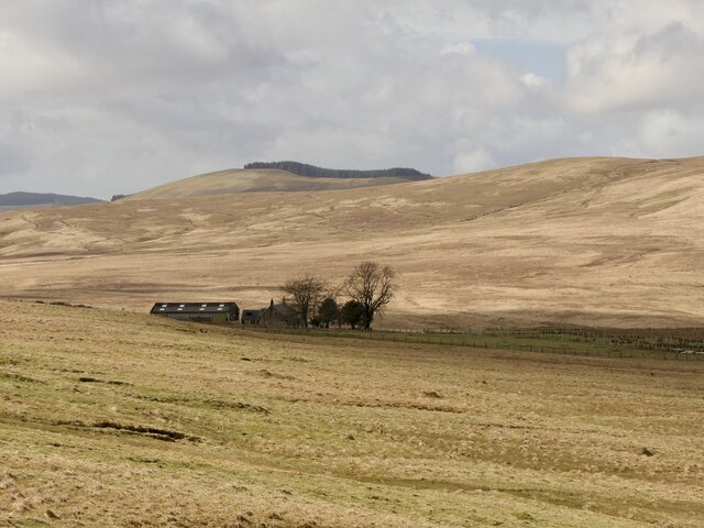
Bain's Knowe is a prominent hill located in the region of Lanarkshire, Scotland. Standing at an elevation of approximately 487 meters (1,598 feet), it offers breathtaking panoramic views of the surrounding countryside. Its location near the town of Airdrie makes it easily accessible for outdoor enthusiasts and hikers.

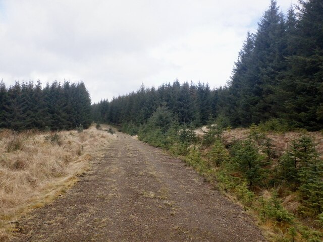
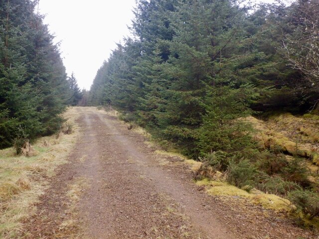
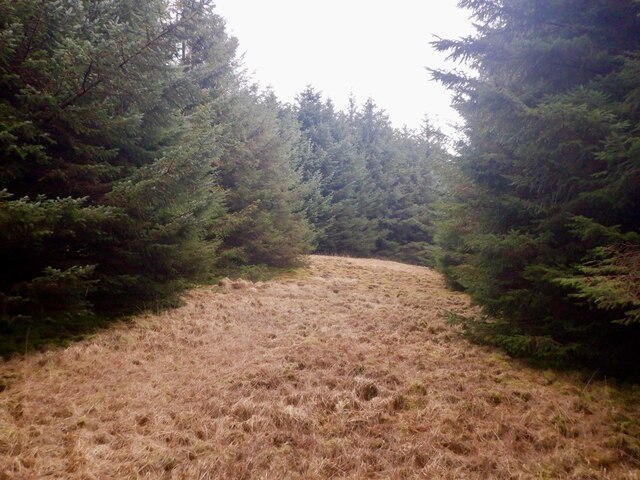
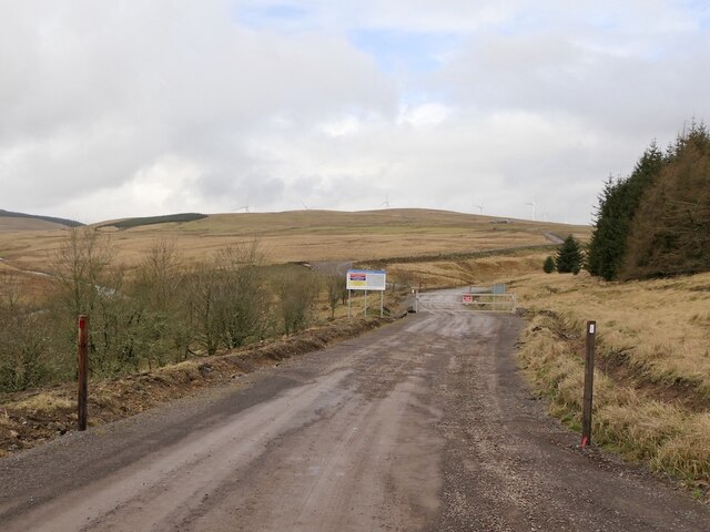
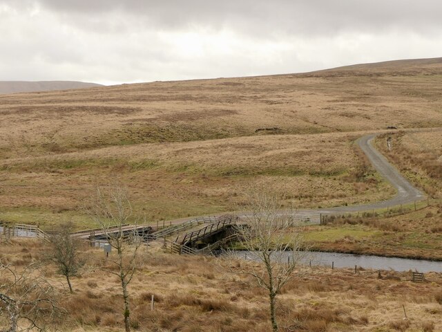
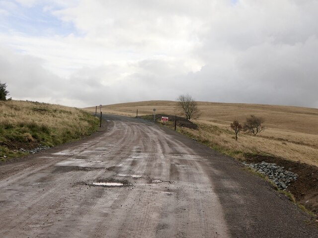
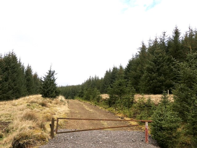
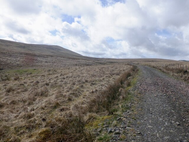
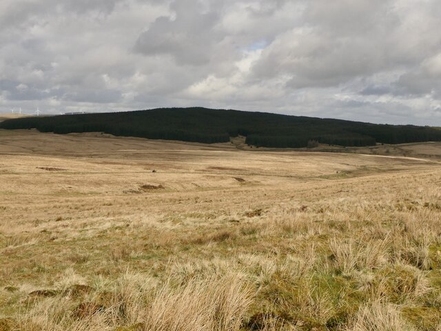
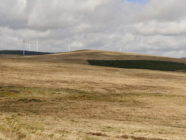
Covered in heather and grass, Bain's Knowe is a part of the larger Southern Uplands range and is a popular destination for those seeking to explore the natural beauty of the area. Its gentle slopes and well-defined paths make it suitable for both experienced hikers and beginners alike.

At the summit of Bain's Knowe, visitors are rewarded with stunning vistas that stretch as far as the eye can see. On a clear day, it is possible to see the nearby Tinto Hill, as well as the distant peaks of the Southern Uplands. The hill's location also provides an excellent vantage point to observe the rolling landscapes of Lanarkshire.

Aside from its natural beauty, Bain's Knowe is also home to a variety of wildlife. The hill is known to support a diverse range of plant and animal species, including red grouse, curlews, and mountain hares. Birdwatchers and nature enthusiasts can enjoy observing these creatures in their natural habitat.

Overall, Bain's Knowe in Lanarkshire is a captivating hill that offers visitors the opportunity to immerse themselves in the stunning landscapes of Scotland's countryside. Whether for a leisurely stroll or a challenging hike, this picturesque location is sure to leave a lasting impression on all who visit.

If you have any feedback on the listing, please let us know in the comments section below.

Bain's Knowe Images

Images are sourced within 2km of 55.479382/-3.9300937 or Grid Reference NS7822. Thanks to Geograph Open Source API. All images are credited.

Forest road, Hartwood Hill
Ride, Hartwood Hill
Ride, Hartwood Hill
Wind farm access road, Kennoxhead
Bridges over the Duneaton Water The road to Shawhead has been upgraded with a new bridge.
Bridges over the Duneaton Water
The road to Shawhead has been upgraded with a new bridge.
Road from Glentaggart Since the construction of the Kennoxhead wind farm the road has been widened and is now a gravel road. The tar stops at Glentaggart. There is a dispute as to the ownership and I fear another pruning of a yellow road.  At the time motorised access as far as here was welcome.
Road from Glentaggart
Since the construction of the Kennoxhead wind farm the road has been widened and is now a gravel road. The tar stops at Glentaggart. There is a dispute as to the ownership and I fear another pruning of a yellow road. At the time motorised access as far as here was welcome.
Forest road, Hartwood Hill
Road to Shawhead It had been upgraded and a new bridge built since my last visit.
Road to Shawhead
It had been upgraded and a new bridge built since my last visit.
View over the Shaw Burn On the way up Cairn Kinny with a view to Harthead Hill and its conifers in shadow.
View over the Shaw Burn
On the way up Cairn Kinny with a view to Harthead Hill and its conifers in shadow.
Track from Cairn Kinney The track had been improved since a previous visit and was no longer gullied.  View over the newly opened Kennoxhead wind farm.
Track from Cairn Kinney
The track had been improved since a previous visit and was no longer gullied. View over the newly opened Kennoxhead wind farm.
Auchendaff Hill Rough grazing just outside the newly opened Kennoxhead wind farm.
Auchendaff Hill
Rough grazing just outside the newly opened Kennoxhead wind farm.
Shawhead
Shawhead
Track from Cairn Kinney A steep loose section, but the gullies encountered previously had been filled in.
Track from Cairn Kinney
A steep loose section, but the gullies encountered previously had been filled in.
Track on Cairn Kinney The track has been repaired since my previous visit.
Track on Cairn Kinney
The track has been repaired since my previous visit.
Field above Shawhead The mapped plantation has been felled.
Field above Shawhead
The mapped plantation has been felled.
Wetland on Cairn Kinney
Cairn on Cairn Kinney A large cairn on what is probably the summit of Cairn Kinney. There is a hollow in the top where the triangulation pillar is sited.
Cairn on Cairn Kinney
A large cairn on what is probably the summit of Cairn Kinney. There is a hollow in the top where the triangulation pillar is sited.
Cairn Kinney triangulation pillar A large cairn on what is probably the summit of Cairn Kinney. There is a hollow in the top where the triangulation pillar is sited.
Cairn Kinney triangulation pillar
A large cairn on what is probably the summit of Cairn Kinney. There is a hollow in the top where the triangulation pillar is sited.
Show me another place!

Bain's Knowe is located at Grid Ref: NS7822 (Lat: 55.479382, Lng: -3.9300937)

Unitary Authority: South Lanarkshire

Police Authority: Lanarkshire

What 3 Words

///hikes.rips.floating. Near Douglas, South Lanarkshire

Nearby Locations

Bain's Knowe

Related Wikis

Fish Bed Formation

The Fish Bed Formation is a geologic formation in Scotland, United Kingdom. The fluvial to lacustrine sandstones, shales, siltstones and conglomerates...

Whitecleuch Chain

The Whitecleuch Chain is a large Pictish silver chain that was found in Whitecleuch, Lanarkshire, Scotland in 1869. A high status piece, it is likely to...

Inches railway station

Inches railway station co-served the hamlet of Glespin, South Lanarkshire, Scotland, from 1874 to 1964 on the Muirkirk Branch. == History == The station...

Glespin

Glespin is a hamlet in South Lanarkshire, Scotland. It is on the A70, east of Muirkirk and west of Douglas. == Notable people == Footballer Bobby Crawford...

Nearby Amenities

Located within 500m of 55.479382,-3.9300937
Bain's Knowe
Corbett: no
Donald: no
Ele: 376
Graham: no
Marilyn: no
Munro: no
Natural: peak
Lat/Long: 55.4793931/-3.9298357
Ford: yes
Lat/Long: 55.4759351/-3.9349639
The data included in this document is from www.openstreetmap.org. The data is made available under ODbL.

Have you been to Bain's Knowe?

Leave your review of Bain's Knowe below (or comments, questions and feedback).