Beinn Uan
Hill, Mountain in Nairnshire
Scotland
Beinn Uan

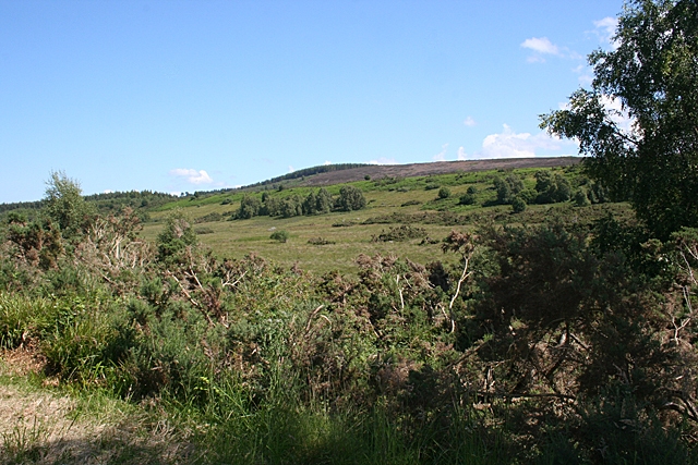
Beinn Uan is a prominent hill located in Nairnshire, Scotland. Standing at an elevation of 379 meters (1,243 feet), it offers breathtaking views of the surrounding landscape. The hill is part of the Scottish Highlands, renowned for its rugged beauty and diverse wildlife.
Beinn Uan is easily accessible and attracts both locals and tourists alike. It is situated near the historic town of Nairn, which is famous for its sandy beaches and charming architecture. The hill's proximity to Nairn makes it a popular destination for outdoor enthusiasts looking for a day of hiking or hillwalking.
The ascent of Beinn Uan is relatively straightforward, with a well-defined path leading to the summit. The climb is suitable for all ages and fitness levels, making it an ideal choice for families or those new to hillwalking. Along the way, visitors can enjoy the stunning scenery and encounter various species of flora and fauna native to the area.
At the top of Beinn Uan, hikers are rewarded with panoramic views of the surrounding countryside, including the Moray Firth and the nearby Cairngorms National Park. On a clear day, it is even possible to see as far as the distant peaks of the Grampian Mountains.
Overall, Beinn Uan offers a memorable outdoor experience for nature lovers and offers a chance to immerse oneself in the beauty of the Scottish Highlands. Whether it's for a leisurely stroll or a more challenging hike, Beinn Uan is a must-visit destination for those seeking to explore the natural wonders of Nairnshire.
If you have any feedback on the listing, please let us know in the comments section below.
Beinn Uan Images
Images are sourced within 2km of 57.463817/-4.0336388 or Grid Reference NH7843. Thanks to Geograph Open Source API. All images are credited.


Beinn Uan is located at Grid Ref: NH7843 (Lat: 57.463817, Lng: -4.0336388)
Unitary Authority: Highland
Police Authority: Highlands and Islands
What 3 Words
///lateral.published.present. Near Balloch, Highland
Nearby Locations
Related Wikis
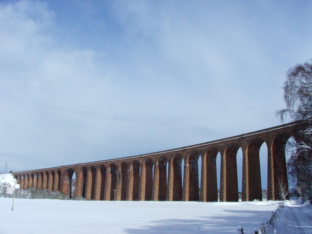
Culloden Viaduct
The Culloden Viaduct is a railway viaduct on the Highland Main Line, to the east of the city of Inverness, in the Highland council area of Scotland. It...

Clava cairn
The Clava cairn is a type of Bronze Age circular chamber tomb cairn, named after the group of three cairns at Balnuaran of Clava, to the east of Inverness...

Culloden Moor railway station
Culloden Moor railway station served the village of Culloden, Highland, Scotland from 1898 to 1965 on the Inverness and Aviemore Direct Railway. ��2�...

Battle of Culloden
The Battle of Culloden (; Scottish Gaelic: Blàr Chùil Lodair) was the final confrontation of the Jacobite rising of 1745. On 16 April 1746, the Jacobite...
Nearby Amenities
Located within 500m of 57.463817,-4.0336388Have you been to Beinn Uan?
Leave your review of Beinn Uan below (or comments, questions and feedback).