Gallow Hill
Hill, Mountain in Ross-shire
Scotland
Gallow Hill
Gallow Hill, located in Ross-shire, Scotland, is a prominent hill/mountain that forms part of the scenic landscape in the region. Rising to an elevation of approximately 571 meters (1,873 feet), Gallow Hill offers breathtaking panoramic views of the surrounding countryside, making it a popular destination for outdoor enthusiasts, hikers, and nature lovers.
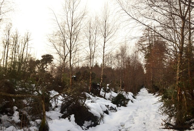
Situated within the picturesque Highlands, Gallow Hill is characterized by its rugged terrain, covered with heather, grass, and scattered rocks. The hill's slopes are relatively steep, providing a challenging yet rewarding climb for those who venture to its summit. The path leading to the top is well-marked, ensuring a safe and enjoyable hiking experience.
Upon reaching the pinnacle of Gallow Hill, visitors are rewarded with awe-inspiring vistas of the rolling hills, valleys, and lochs that define the Scottish Highlands. On clear days, it is possible to see as far as the Moray Firth and the Black Isle. The hill's strategic location also offers a fantastic vantage point to observe the natural beauty of the nearby Cromarty Firth and Ben Wyvis, a neighboring mountain.
Gallow Hill's tranquil and unspoiled environment provides a haven for a variety of wildlife, including red deer, mountain hares, and various species of birds. Its isolation from major urban areas contributes to the serenity and peacefulness that visitors often seek.
Overall, Gallow Hill in Ross-shire is a captivating destination that provides a challenging yet rewarding hiking experience, stunning views of the Scottish Highlands, and an opportunity to immerse oneself in the region's natural beauty and tranquility.
If you have any feedback on the listing, please let us know in the comments section below.
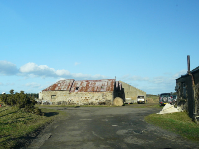
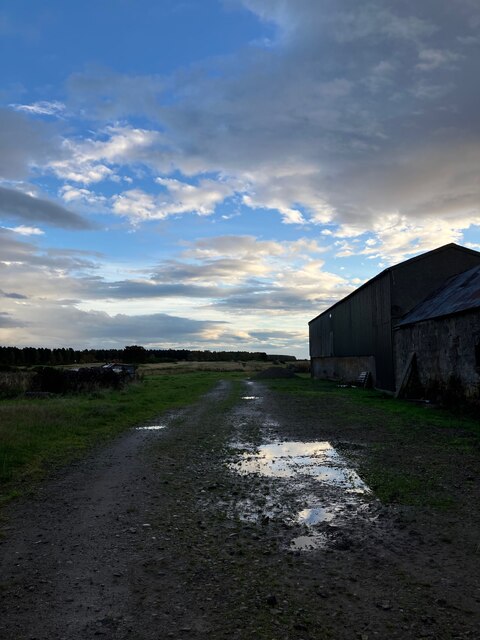
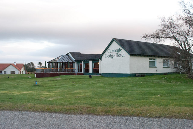
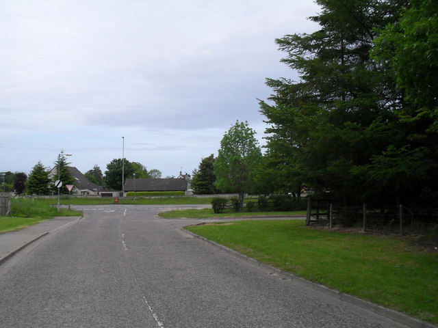
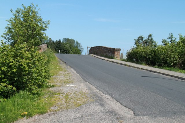
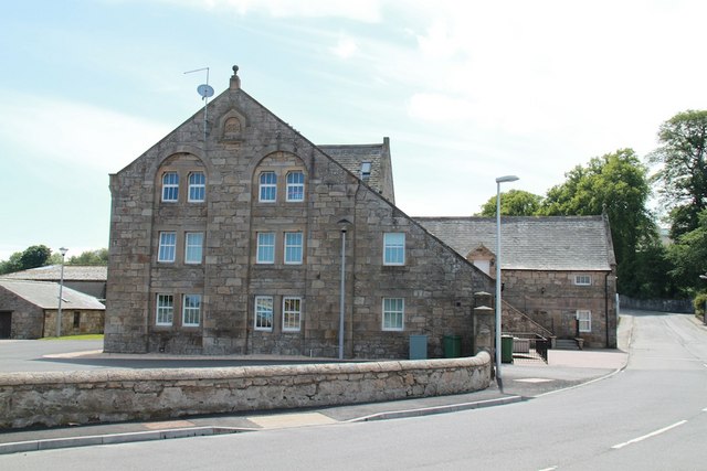
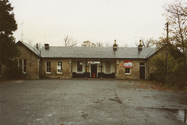
Gallow Hill Images
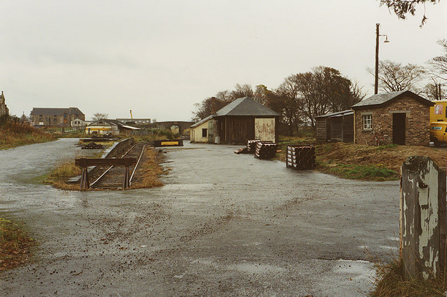
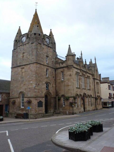
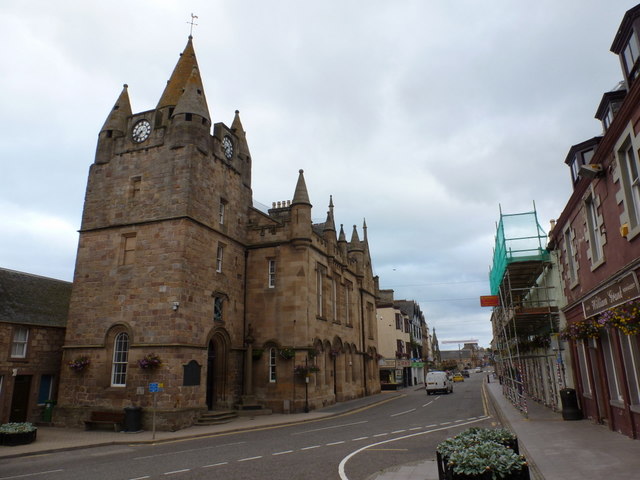
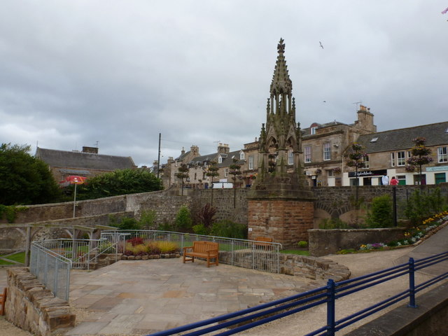
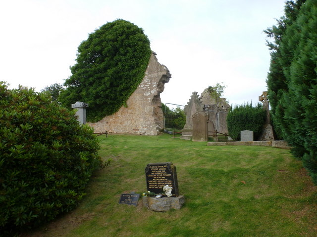
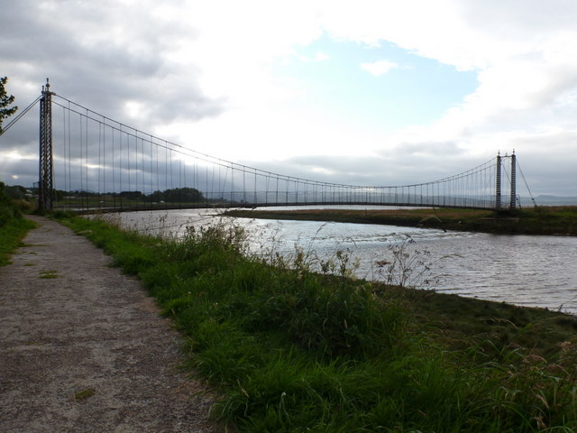
Images are sourced within 2km of 57.815963/-4.0537362 or Grid Reference NH7882. Thanks to Geograph Open Source API. All images are credited.

Gallow Hill is located at Grid Ref: NH7882 (Lat: 57.815963, Lng: -4.0537362)
Unitary Authority: Highland
Police Authority: Highlands and Islands
What 3 Words
///minivans.sharpened.marker. Near Tain, Highland
Nearby Locations
Related Wikis
St Duthus F.C.
St. Duthus Football Club (also referred to as Tain St. Duthus Football Club) is a senior Scottish football club playing in the North Caledonian Football...
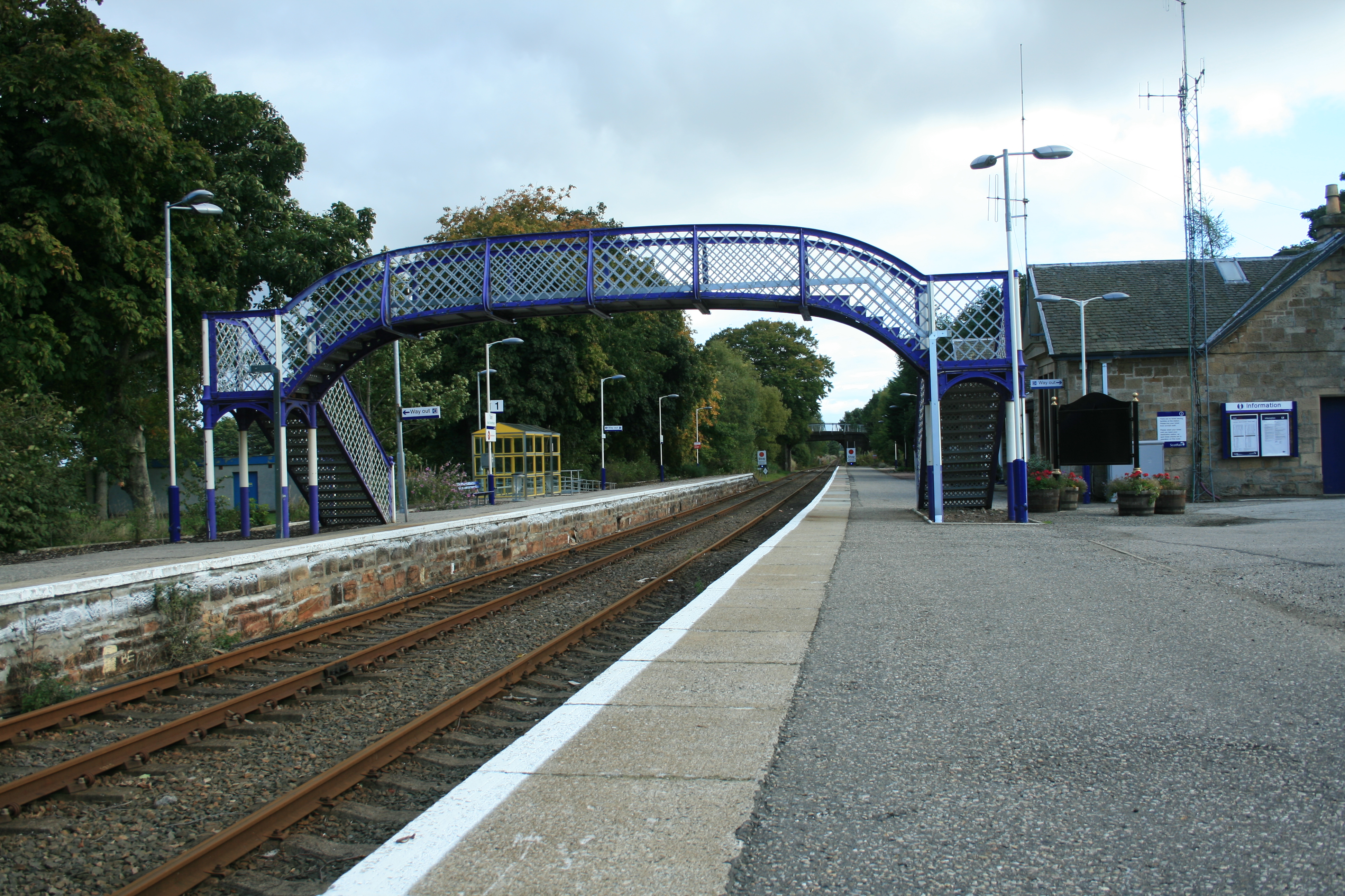
Tain railway station
Tain railway station is an unstaffed railway station serving the area of Tain in the Highland council area of Scotland. The station is on the Far North...

Tain & District Museum
The Tain & District Museum is located in Tain, Ross-shire, Scotland. It is volunteer-run and is open April to October part of the Tain Through Time visitor...

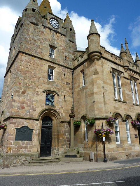
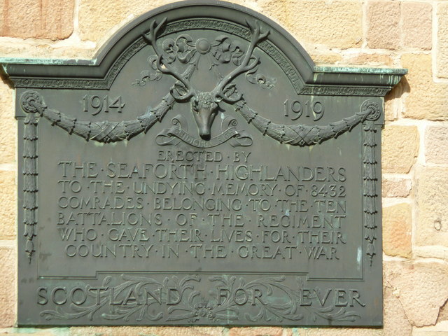
Tain Tolbooth
Tain Tolbooth is a municipal building in the High Street, Tain, Highland, Scotland. The structure, which is used as a courthouse, is a Category A listed...
Nearby Amenities
Located within 500m of 57.815963,-4.0537362Have you been to Gallow Hill?
Leave your review of Gallow Hill below (or comments, questions and feedback).