Holme
Settlement in Huntingdonshire Huntingdonshire
England
Holme

Holme is a small village located in the district of Huntingdonshire, in the county of Cambridgeshire, England. Situated approximately 6 miles south of the town of Peterborough, Holme is nestled on the western bank of the River Great Ouse.
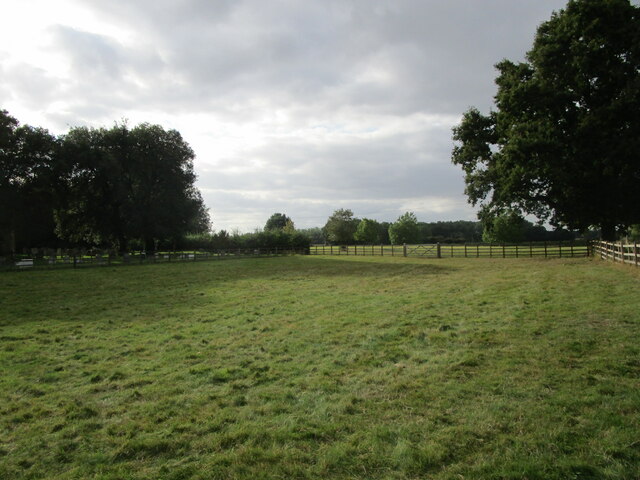
With a population of around 1,000 residents, Holme offers a peaceful and rural setting, ideal for those seeking a quiet countryside lifestyle. The village is characterized by its charming thatched cottages, traditional brick houses, and picturesque landscapes.
Holme is known for its rich history, dating back to the medieval period. The village is home to the 13th-century All Saints Church, a beautiful example of Gothic architecture, which attracts visitors interested in historical and architectural heritage.
The surrounding area of Holme provides ample opportunities for outdoor activities and exploration. The nearby Holme Fen National Nature Reserve, one of the largest lowland fens in Britain, offers nature enthusiasts a chance to observe unique flora and fauna, including rare species such as the fen violet.
Despite its small size, Holme boasts a strong sense of community spirit. The village has a local primary school, a post office, a village hall, and a friendly pub, serving as a hub for social gatherings and events.
Holme benefits from its proximity to larger towns and cities. The nearby city of Peterborough offers a wider range of amenities, including shopping centers, restaurants, and leisure facilities.
In summary, Holme is a quaint village in Huntingdonshire, combining a rich historical heritage, beautiful countryside landscapes, and a welcoming community, making it an appealing place for both residents and visitors alike.
If you have any feedback on the listing, please let us know in the comments section below.
Holme Images
Images are sourced within 2km of 52.473804/-0.25325024 or Grid Reference TL1887. Thanks to Geograph Open Source API. All images are credited.


Holme is located at Grid Ref: TL1887 (Lat: 52.473804, Lng: -0.25325024)
Administrative County: Cambridgeshire
District: Huntingdonshire
Police Authority: Cambridgeshire
What 3 Words
///latches.speakers.attitudes. Near Stilton, Cambridgeshire
Nearby Locations
Related Wikis

Holme, Cambridgeshire
Holme is a village and civil parish in Cambridgeshire, England. Holme lies approximately 7 miles (11 km) south of Peterborough, near Conington and Yaxley...

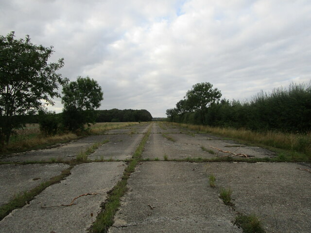
Peterborough Business Airport
Peterborough Business Airport (ICAO: EGSF) is a privately owned airfield in the English county of Cambridgeshire near the villages of Holme and Conington...
Battle of the Holme
The Battle of the Holme took place in East Anglia on 13 December 902 where the Anglo-Saxon men of Wessex and Kent fought against the Danelaw and East Anglian...

RAF Glatton
Royal Air Force Glatton or more simply RAF Glatton is a former Royal Air Force station located 10 miles (16 km) north of Huntingdon, Cambridgeshire, England...
Related Videos
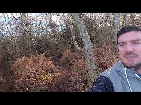
Walking in Holme Fen Nature Reserve, The UK's Lowest Point
Join us on a walk around the Holme Fen Nature Reserve in Cambridgeshire. This is where the UK lowest point is and contains the ...

#WildWednesday 80. (27/12/2023)
A wild Wednesday winter walk around Holme Fen.

Jet Ranger II aka AGUSTA AB206B starting
Jet Ranger II starting up and taxiing out. wind your sound up!

Conington EGSF Landing a C42
Landing out at EGSF Conington runway 28. A nice long hard runway makes a nice change from grass!
Nearby Amenities
Located within 500m of 52.473804,-0.25325024Have you been to Holme?
Leave your review of Holme below (or comments, questions and feedback).