Barcloy Hill

Hill, Mountain in Kirkcudbrightshire

Scotland

Barcloy Hill

The Cabin. A remote holiday home, far from the hustle and bustle.
The Cabin. Credit: Colin Kinnear

Barcloy Hill is a prominent hill located in Kirkcudbrightshire, Scotland. Standing at an elevation of 227 meters (745 feet) above sea level, it offers breathtaking panoramic views of the surrounding countryside and coastline. The hill is characterized by its gentle slopes and lush green vegetation, making it a popular destination for hikers and nature enthusiasts.

At the summit of Barcloy Hill, visitors can find a trig point which serves as a marker for surveying purposes. The trig point provides a convenient spot for taking in the stunning vistas of the Solway Firth and the rolling hills of Galloway.

Barcloy Hill is home to a variety of flora and fauna, including heather, bracken, and a range of bird species. The hill is also steeped in history, with evidence of ancient settlements and burial sites dating back to the Bronze Age.

Overall, Barcloy Hill offers a peaceful and scenic retreat for those looking to escape the hustle and bustle of everyday life and immerse themselves in the natural beauty of the Scottish countryside.

If you have any feedback on the listing, please let us know in the comments section below.

Barcloy Hill Images

Images are sourced within 2km of 54.855519/-3.94316 or Grid Reference NX7552. Thanks to Geograph Open Source API. All images are credited.

The Cabin. A remote holiday home, far from the hustle and bustle.
The Cabin.
A remote holiday home, far from the hustle and bustle.
Blackbreast Hill. Looking across to Barcloy Hill from Blackbreast Hill.
Blackbreast Hill.
Looking across to Barcloy Hill from Blackbreast Hill.
Glenhead, Auchencairn View northwest along track to Glenhead Farm. In the distance is Hass Farm nestling under Dungarry and Bentudor hills.
Glenhead, Auchencairn
View northwest along track to Glenhead Farm. In the distance is Hass Farm nestling under Dungarry and Bentudor hills.
Ben Tudor, Bengairn, Midhill, and Screel (left to right) The range of hills as seen from above Gibbs Hole Wood on Almorness peninsula.  At the left hand end of the range is the impressive Dungarry hill fort (NX 757 535)
Ben Tudor, Bengairn, Midhill, and Screel (left to right)
The range of hills as seen from above Gibbs Hole Wood on Almorness peninsula. At the left hand end of the range is the impressive Dungarry hill fort (NX 757 535)
Cairn in centre of Dungarry Fort The fort is on the hilltop and consists of a roughly circular drystane wall, somewhat derelict.
Cairn in centre of Dungarry Fort
The fort is on the hilltop and consists of a roughly circular drystane wall, somewhat derelict.
Pasture above Hass, looking out to the Solway
Pond by Nether Linkins Sheepfolds Looking Southeast with Bentudor on the left and Dungarry just visible left of centre, and Knoits of Bentudor on the right.
Pond by Nether Linkins Sheepfolds
Looking Southeast with Bentudor on the left and Dungarry just visible left of centre, and Knoits of Bentudor on the right.
Knoits of Bentudor (Barcloy Hill) from Dungarry
Settlement in Hass Stone remains of old settlement
Settlement in Hass
Stone remains of old settlement
Remains of ancient settlement This site lies in the upper pasture of Hass and close under the hill dyke on Bengairn Hill (Low Bengairn)  Blackthorn bushes in full bloom
Remains of ancient settlement
This site lies in the upper pasture of Hass and close under the hill dyke on Bengairn Hill (Low Bengairn) Blackthorn bushes in full bloom
Into the Forest on Bentudor An interesting route up Bengairn Hill can be found through this plantation.  There is no marked path, so good hill sense is required
Into the Forest on Bentudor
An interesting route up Bengairn Hill can be found through this plantation. There is no marked path, so good hill sense is required
Hass With Dungarry and Bentudor behind
Hass
With Dungarry and Bentudor behind
From Hass to Cumbria Right of centre on the shoreline is Airds Hill, with Rascarrel Wood running centre-to-right just inland.  A jack-up installation rig can just be made out at extreme right, and windmills in the Robin Rigg windfarm.  In the distance are the mountains of Cumbria.
From Hass to Cumbria
Right of centre on the shoreline is Airds Hill, with Rascarrel Wood running centre-to-right just inland. A jack-up installation rig can just be made out at extreme right, and windmills in the Robin Rigg windfarm. In the distance are the mountains of Cumbria.
The Western Flanks of Bengairn. The steep heather covered south western slopes of Bengairn.
The Western Flanks of Bengairn.
The steep heather covered south western slopes of Bengairn.
Gateway to Nether Linkens Farm
Oakleaf Cottage, near Nether Linkens
Nameless Loch This small nameless Lochan or pond/dam shows on google maps but not on my OS map.Perhaps I should claim naming rights.
Nameless Loch
This small nameless Lochan or pond/dam shows on google maps but not on my OS map.Perhaps I should claim naming rights.
Below Barcloy Hill A view over some rough moorland towards a small plantation
Below Barcloy Hill
A view over some rough moorland towards a small plantation
Show me another place!

Barcloy Hill is located at Grid Ref: NX7552 (Lat: 54.855519, Lng: -3.94316)

Unitary Authority: Dumfries and Galloway

Police Authority: Dumfries and Galloway

What 3 Words

///flamingo.proves.fuzz. Near Kirkcudbright, Dumfries & Galloway

Nearby Locations

Blackbreast Barcloy Hill

Related Wikis

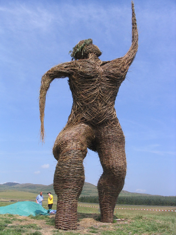
Wickerman Festival

The Wickerman Festival was an annual music festival held near Auchencairn in Dumfries and Galloway, Scotland. Dubbed "Scotland's Alternative Music festival...

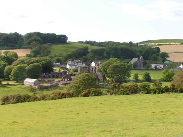
Airieland

Airieland is a farm in the historical county of Kirkcudbrightshire, in the Scottish council area of Dumfries and Galloway. It is found 3 miles (5 km) south...

Auchencairn

Auchencairn ([ɔxən'kʰɛ:(r)n]) is a village in the historical county of Kirkcudbrightshire in the Dumfries and Galloway region of Scotland. It is located...

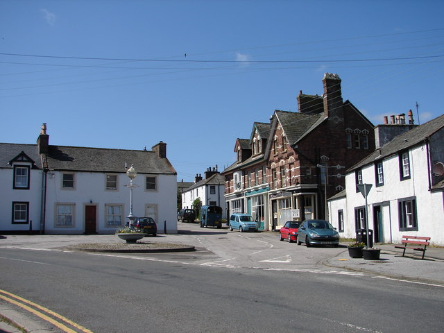
Dundrennan

Dundrennan (Gaelic: Dun Droighnein) is a village Dumfries and Galloway, Scotland, about 5 miles (8 km) east of Kirkcudbright. Its population is around...

Have you been to Barcloy Hill?

Leave your review of Barcloy Hill below (or comments, questions and feedback).