Barsolis Hill
Hill, Mountain in Kirkcudbrightshire
Scotland
Barsolis Hill
Barsolis Hill is a prominent hill located in the region of Kirkcudbrightshire, in southwest Scotland. Standing at an elevation of approximately 279 meters (915 feet), it offers breathtaking views of the surrounding landscape. The hill is situated near the village of Carsluith, about 6 kilometers (3.7 miles) west of Gatehouse of Fleet.
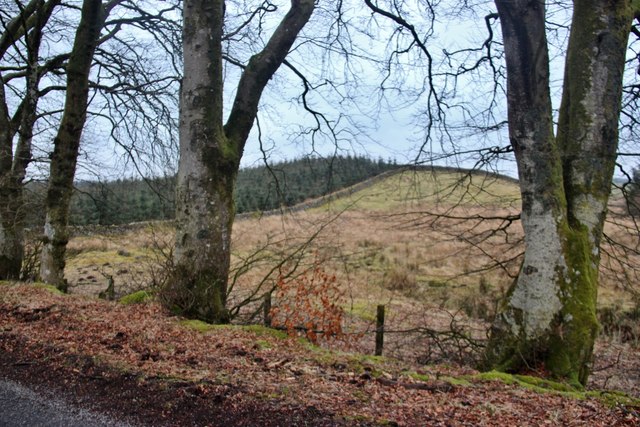
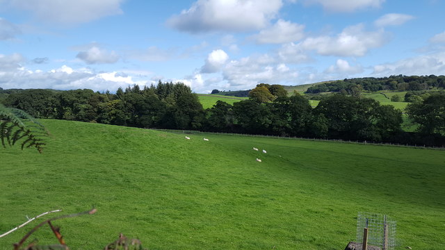
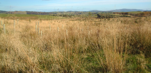
Barsolis Hill is characterized by its rolling terrain and abundant vegetation, consisting mainly of grasses, heather, and scattered shrubs. The summit of the hill provides panoramic vistas of the nearby Galloway Forest Park, the Solway Firth, and the distant hills of the Lake District in England. On clear days, visitors can even catch a glimpse of the Isle of Man.
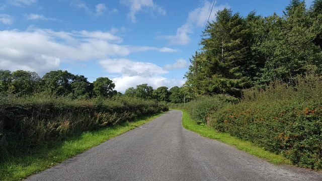
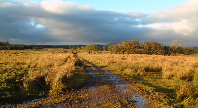
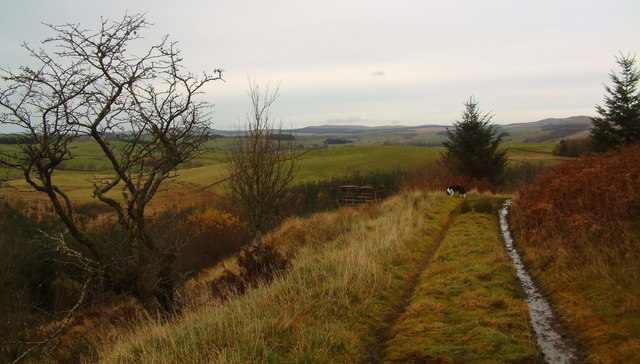
The hill is a popular destination for hikers and nature enthusiasts, offering a variety of walking trails that cater to different levels of difficulty. The most common route starts at Carsluith and follows a well-defined path that gradually ascends the hill. Along the way, visitors can enjoy the tranquility of the countryside and may encounter various wildlife species, such as rabbits, hares, and a variety of birds.
Barsolis Hill also holds historical significance, with evidence of ancient settlements and structures found in the vicinity. Archaeological remains, including burial mounds and stone circles, suggest that the area has been inhabited since prehistoric times.
Overall, Barsolis Hill is a picturesque and culturally rich destination that attracts outdoor enthusiasts, history buffs, and those seeking a peaceful retreat in the stunning Kirkcudbrightshire countryside.
If you have any feedback on the listing, please let us know in the comments section below.
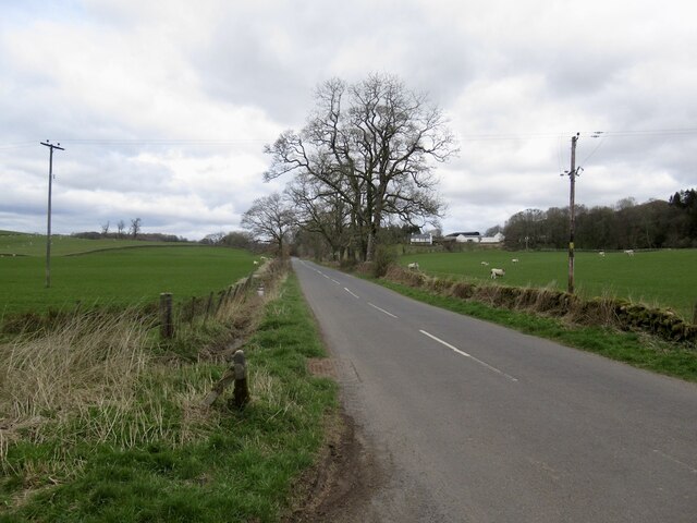
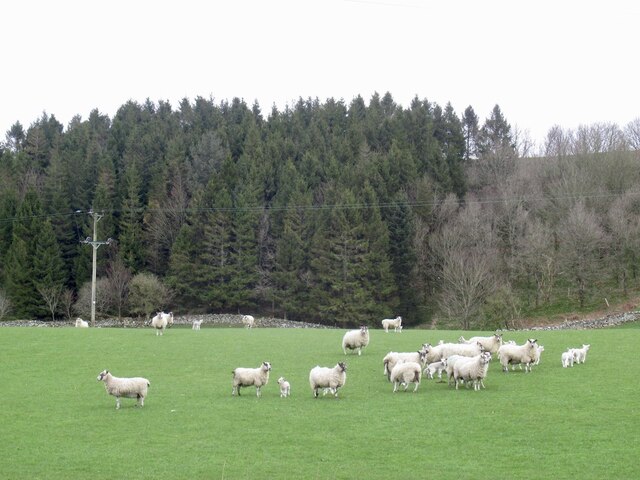
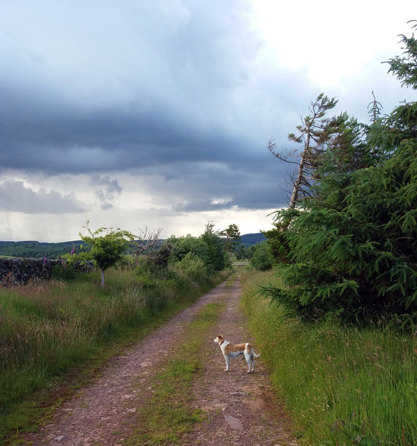
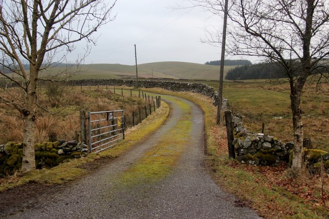
Barsolis Hill Images
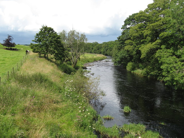
Images are sourced within 2km of 55.00843/-3.9533796 or Grid Reference NX7569. Thanks to Geograph Open Source API. All images are credited.


Barsolis Hill is located at Grid Ref: NX7569 (Lat: 55.00843, Lng: -3.9533796)
Unitary Authority: Dumfries and Galloway
Police Authority: Dumfries and Galloway
What 3 Words
///cared.acclaimed.zeal. Near Castle Douglas, Dumfries & Galloway
Nearby Locations
Related Wikis

Kilquhanity School
Kilquhanity School was one of several free schools to have been established in the United Kingdom in the twentieth century. Others include Sands School...

Glenlair House
Glenlair, near the village of Corsock in the historical county of Kirkcudbrightshire, in Dumfries and Galloway, was the home of the physicist James Clerk...

Kirkcudbrightshire
Kirkcudbrightshire ( kur-KOO-brish-ər, -eer; Scots: [kərˈku(d)brəʃər]), or the County of Kirkcudbright or the Stewartry of Kirkcudbright is one of the...

Kirkpatrick Durham
Kirkpatrick Durham (Scottish Gaelic: Cill Phàdraig) is a village and parish in the historical county of Kirkcudbrightshire, Dumfries and Galloway, south...
Nearby Amenities
Located within 500m of 55.00843,-3.9533796Have you been to Barsolis Hill?
Leave your review of Barsolis Hill below (or comments, questions and feedback).