Mid Hill
Hill, Mountain in Lanarkshire
Scotland
Mid Hill
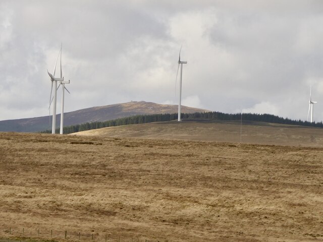
Mid Hill is a prominent hill located in the rural area of Lanarkshire, Scotland. Standing at an elevation of approximately 300 meters (984 feet), it is often classified as a hill rather than a mountain due to its relatively modest height. Despite this, it offers breathtaking panoramic views of the surrounding countryside.
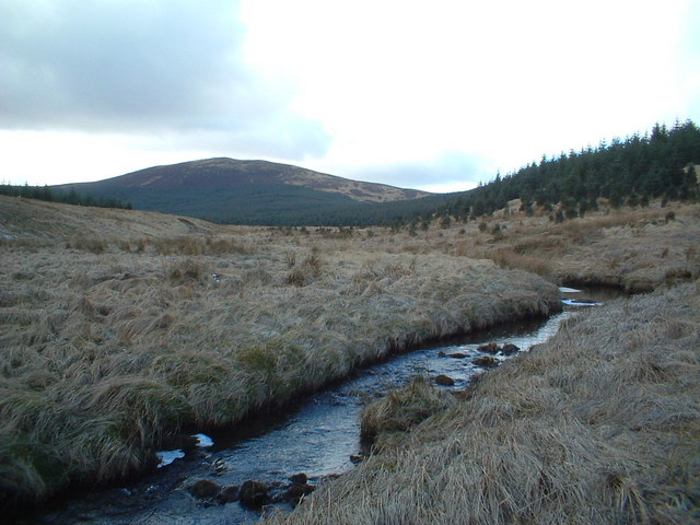
Covered in a patchwork of green fields and scattered woodlands, Mid Hill is a prominent feature in the landscape and provides a picturesque backdrop to the region. The hill is formed predominantly of sedimentary rocks, including sandstone and shale, which contribute to its rugged and undulating terrain.
The slopes of Mid Hill are home to a diverse range of flora and fauna. The lower slopes are primarily covered in grasses, heather, and shrubs, while the higher regions are characterized by heathland and moorland vegetation. These habitats support a variety of wildlife, including a plethora of bird species, such as kestrels, buzzards, and skylarks.
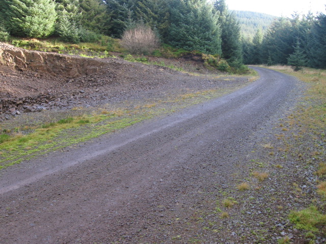
Mid Hill is a popular destination for outdoor enthusiasts and nature lovers. Numerous walking and hiking trails crisscross the hill, offering opportunities for both leisurely strolls and more challenging climbs. Its accessibility and proximity to nearby towns make it an ideal spot for day trips and outdoor activities.
Overall, Mid Hill is a beautiful natural landmark that provides a tranquil escape from the hustle and bustle of urban life. Its scenic beauty, diverse ecosystems, and recreational opportunities make it a cherished destination for locals and visitors alike.
If you have any feedback on the listing, please let us know in the comments section below.
Mid Hill Images
Images are sourced within 2km of 55.475887/-3.9845449 or Grid Reference NS7422. Thanks to Geograph Open Source API. All images are credited.


Mid Hill is located at Grid Ref: NS7422 (Lat: 55.475887, Lng: -3.9845449)
Unitary Authority: South Lanarkshire
Police Authority: Lanarkshire
What 3 Words
///lilac.entry.iceberg. Near Muirkirk, East Ayrshire
Related Wikis

Fish Bed Formation
The Fish Bed Formation is a geologic formation in Scotland, United Kingdom. The fluvial to lacustrine sandstones, shales, siltstones and conglomerates...

Glenbuck railway station
Glenbuck railway station served the village of Glenbuck in Ayrshire, Scotland. == Opening == The Caledonian Railway extended a line from Douglas to Muirkirk...
Muirkirk railway station
Muirkirk railway station was a railway station serving the village of Muirkirk, East Ayrshire, Scotland. == First station == The station opened on 9 August...
Glenbuck
Glenbuck (Scottish Gaelic: Gleann Buic) is a small, remote village in East Ayrshire. It is nestled in the hills 3 miles (5 km) east of Muirkirk, East Ayrshire...

Whitecleuch Chain
The Whitecleuch Chain is a large Pictish silver chain that was found in Whitecleuch, Lanarkshire, Scotland in 1869. A high status piece, it is likely to...

Muirkirk
Muirkirk (Scottish Gaelic: Eaglais an t-Slèibh) is a small village in East Ayrshire, southwest Scotland. It is located on the north bank of the River Ayr...
Inches railway station
Inches railway station co-served the hamlet of Glespin, South Lanarkshire, Scotland, from 1874 to 1964 on the Muirkirk Branch. == History == The station...
Garpel Water
The Garpel Water is a river near Muirkirk, Scotland. It flows under the Sanquhar bridge and Tibbie's Brig. It flows into the River Ayr.
Have you been to Mid Hill?
Leave your review of Mid Hill below (or comments, questions and feedback).