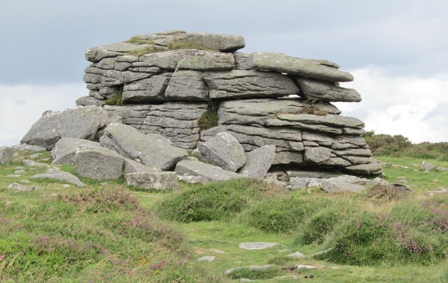
Rippon Tor
Hill, Mountain in Devon Teignbridge
England
Rippon Tor

Rippon Tor is a prominent hill located in the county of Devon, England. Rising to an elevation of 473 meters (1,552 feet), it is a well-known and distinctive landmark in the region. Situated within Dartmoor National Park, Rippon Tor offers stunning panoramic views of the surrounding countryside and is a popular destination for hikers, nature enthusiasts, and photographers.
The hill is formed of granite, which gives it a rugged and weathered appearance. Its slopes are covered with a mix of grasses, heather, and scattered boulders, creating a picturesque landscape. On clear days, visitors can see as far as the English Channel, the city of Exeter, and even the distant hills of Cornwall.
At the summit of Rippon Tor, there is an ancient stone circle, believed to be of Bronze Age origin. This stone circle, known as a cairn, consists of a central pile of rocks surrounded by smaller stones. It is thought to have served as a burial site or a place of religious significance for the people who once inhabited the area.
Due to its natural beauty and historical significance, Rippon Tor attracts a wide range of visitors throughout the year. The hill offers various walking trails, allowing visitors to explore its slopes and enjoy the breathtaking vistas. Its location within Dartmoor National Park also means that it is home to a diverse range of flora and fauna, adding to its appeal as a natural attraction.
In conclusion, Rippon Tor is a stunning hill in Devon, offering panoramic views, ancient stone circles, and a wealth of natural beauty. It is a must-visit destination for anyone seeking to experience the unique landscape of Dartmoor National Park.
If you have any feedback on the listing, please let us know in the comments section below.
Rippon Tor Images
Images are sourced within 2km of 50.566391/-3.7714856 or Grid Reference SX7475. Thanks to Geograph Open Source API. All images are credited.


Rippon Tor is located at Grid Ref: SX7475 (Lat: 50.566391, Lng: -3.7714856)
Administrative County: Devon
District: Teignbridge
Police Authority: Devon and Cornwall
What 3 Words
///fragment.degree.stag. Near Ashburton, Devon
Nearby Locations
Related Wikis

Rippon Tor
Rippon Tor is a striking tor on eastern Dartmoor, in England, that stands at 473 metres (1,552 ft) above sea level. It has three cairns, of which are some...
Pil Tor
Pil Tor is a granite tor on the eastern edge of Dartmoor, England. It sits at a height of around 420 metres (1,380 ft). == References ==
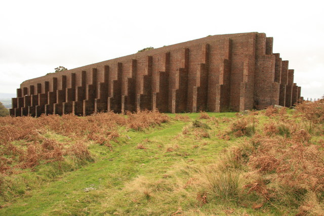
Rippon Tor Rifle Range
Rippon Tor Rifle Range is a disused rifle range from World War II on Dartmoor, Devon, England. The range is situated southeast of the 473 m high Rippon...
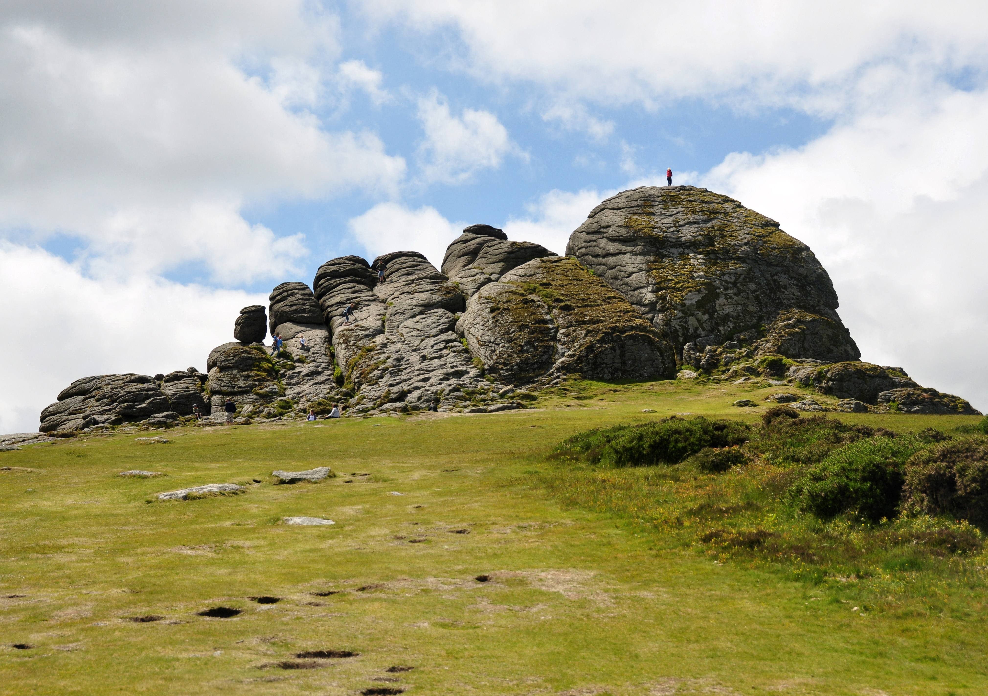
Haytor
Haytor, also known as Haytor Rocks, Hay Tor, or occasionally Hey Tor, is a granite tor on the eastern edge of Dartmoor in the English county of Devon....
Nearby Amenities
Located within 500m of 50.566391,-3.7714856Have you been to Rippon Tor?
Leave your review of Rippon Tor below (or comments, questions and feedback).