The Mount

Hill, Mountain in Lanarkshire

Scotland

The Mount

Bellshill Central Parish Church The 1874 church at 346 Main Street, Bellshill, ML4 1BA which was designed by David Clunas.
Bellshill Central Parish Church Credit: Alan

The requested URL returned error: 429 Too Many Requests

If you have any feedback on the listing, please let us know in the comments section below.

The Mount Images

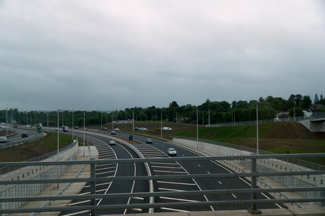
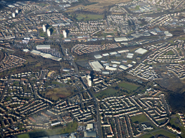
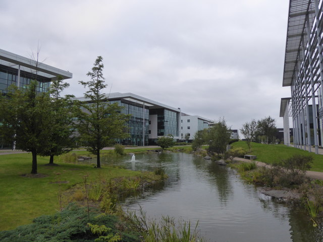
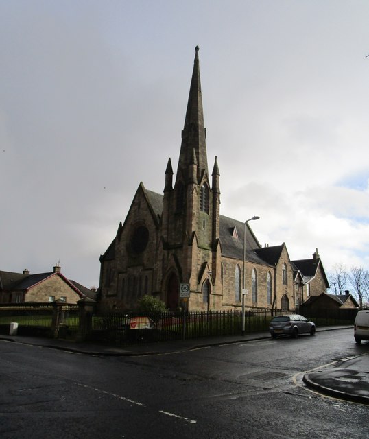
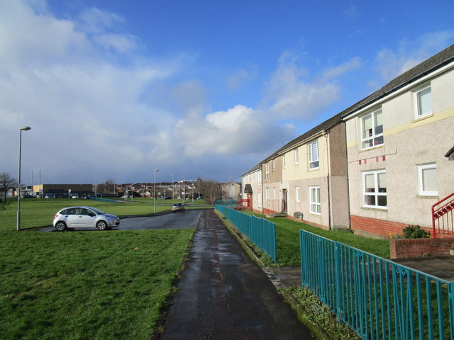
Images are sourced within 2km of 55.835748/-4.0046141 or Grid Reference NS7462. Thanks to Geograph Open Source API. All images are credited.

Bellshill Central Parish Church The 1874 church at 346 Main Street, Bellshill, ML4 1BA which was designed by David Clunas.
Bellshill Central Parish Church
The 1874 church at 346 Main Street, Bellshill, ML4 1BA which was designed by David Clunas.
Eurocentral from the air Looking over the bizarely named Eurocentral rail freight terminal and business park towards the M8 motorway.
Eurocentral from the air
Looking over the bizarely named Eurocentral rail freight terminal and business park towards the M8 motorway.
Junction 7 of the M8 at Shawhead This newly opened section of the M8 fills a short gap in the Glasgow motorway system.
Junction 7 of the M8 at Shawhead
This newly opened section of the M8 fills a short gap in the Glasgow motorway system.
Eurocentral from the air A large business park beside Junction 7 of the M8 motorway.
Eurocentral from the air
A large business park beside Junction 7 of the M8 motorway.
Eurocentral from the air With the M8 motorway and Calderbank beyond.
Eurocentral from the air
With the M8 motorway and Calderbank beyond.
Eurocentral from the air With the M8 motorway and Calderbank beyond and Chapelhall to the right.
Eurocentral from the air
With the M8 motorway and Calderbank beyond and Chapelhall to the right.
Eurocentral from the air Beside the M8 motorway.
Eurocentral from the air
Beside the M8 motorway.
The M8 motorway from the air The west end of the new 'missing link' stretch of the motorway, with its predecessor the A8 and Carnbroe beyond.
The M8 motorway from the air
The west end of the new 'missing link' stretch of the motorway, with its predecessor the A8 and Carnbroe beyond.
Coatbridge from the air Carnbroe is in the left foreground, the A8 and M8 are in the right foreground.
Coatbridge from the air
Carnbroe is in the left foreground, the A8 and M8 are in the right foreground.
Whifflet from the air Looking up the A725 Whifflet Street towards Whifflet railway station.
Whifflet from the air
Looking up the A725 Whifflet Street towards Whifflet railway station.
The M8 motorway at Eurocentral View looking was along the motorway, with Maxim business park in the background.
The M8 motorway at Eurocentral
View looking was along the motorway, with Maxim business park in the background.
Pond in landscaping at Eurocentral
Car park at Eurocentral
Dakota Hotel, Eurocentral
Landscaping at Eurocentral
Calder Parish Church Designed by Hugh H. MacLure 1870. <span class="nowrap"><a title="http://portal.historicenvironment.scot/designation/LB23007" rel="nofollow ugc noopener" href="http://portal.historicenvironment.scot/designation/LB23007">Link</a><img style="margin-left:2px;" alt="External link" title="External link - shift click to open in new window" src="https://s1.geograph.org.uk/img/external.png" width="10" height="10"/></span>
Calder Parish Church
Designed by Hugh H. MacLure 1870. LinkExternal link
North Calder Heritage Trail Follows the course of the Monkland Canal <span class="nowrap"><a title="https://en.wikipedia.org/wiki/Monkland_Canal" rel="nofollow ugc noopener" href="https://en.wikipedia.org/wiki/Monkland_Canal">Link</a><img style="margin-left:2px;" alt="External link" title="External link - shift click to open in new window" src="https://s1.geograph.org.uk/img/external.png" width="10" height="10"/></span>
North Calder Heritage Trail
Follows the course of the Monkland Canal LinkExternal link
Footpath and housing, Cumbrae Place
Show me another place!

The Mount is located at Grid Ref: NS7462 (Lat: 55.835748, Lng: -4.0046141)

Unitary Authority: North Lanarkshire

Police Authority: Lanarkshire

What 3 Words

///gives.ground.zoom. Near Bellshill, North Lanarkshire

Nearby Locations

The Mount

Related Wikis

Mossend EuroTerminal

Mossend EuroTerminal is a freight-handling station in Mossend. It is situated across the line from the Mossend Railhead. == History == In 1991, the site...

Carnbroe

Carnbroe is a neighbourhood in Coatbridge, North Lanarkshire, Scotland. The village is situated by the North Calder Water and was formerly the site of...

Mossend International Railfreight Park

Mossend International Railfreight Park (previously known as Mossend Railhead) is a freight-handling station in Mossend, Scotland. It is situated across...

Bellshill Maternity Hospital

Bellshill Maternity Hospital was a health facility at Bellshill in North Lanarkshire, Scotland. == History == The hospital was built as a poor law hospital...

Nearby Amenities

Located within 500m of 55.835748,-4.0046141
The Mount
Ele: 101
Natural: peak
Lat/Long: 55.8355583/-4.0047262
Orchard Farm
Place: locality
Source: survey
Lat/Long: 55.8378987/-4.0022494
Ivy Cottage
Created By: Potlatch 0.10f
Is In: Coatbridge
Place: hamlet
Postal Code: ML5
Lat/Long: 55.8387354/-4.0008975
Motorway Junction
Lat/Long: 55.8388461/-4.003024
Motorway Junction
Eurocentral
Ref: 7
Lat/Long: 55.8375893/-3.9983881
Railway: switch
Lat/Long: 55.8356905/-4.0036409
Railway: switch
Lat/Long: 55.8360117/-4.0037015
Railway: switch
Lat/Long: 55.8364879/-4.0039386
Railway: switch
Lat/Long: 55.8368197/-4.0040392
Railway: buffer_stop
Lat/Long: 55.8329426/-4.0020521
Railway: signal
Railway Signal Direction: backward
Railway Signal Shunting: GB-NR:shunting
Railway Signal Shunting Form: light
Ref: GMY283
Lat/Long: 55.838779/-4.0049939
Railway: signal
Railway Signal Direction: backward
Railway Signal Main: GB-NR:main
Railway Signal Main Form: light
Ref: GMY284
Lat/Long: 55.8393712/-4.0053391
Railway: signal
Railway Signal Direction: forward
Railway Signal Main: GB-NR:main
Railway Signal Main Form: light
Ref: GMY286
Lat/Long: 55.8393802/-4.0052891
Railway: signal
Railway Signal Direction: forward
Railway Signal Main: GB-NR:main
Railway Signal Main Form: light
Ref: GMY300
Lat/Long: 55.8370186/-4.0041958
Railway: signal
Railway Signal Direction: forward
Railway Signal Main: GB-NR:main
Railway Signal Main Form: light
Ref: GMY285
Lat/Long: 55.8358618/-4.0035666
Railway: signal
Railway Signal Direction: forward
Railway Signal Shunting: GB-NR:shunting
Railway Signal Shunting Form: light
Ref: GMY293
Lat/Long: 55.8351385/-4.0034461
Railway: signal
Railway Signal Direction: backward
Railway Signal Shunting: GB-NR:shunting
Railway Signal Shunting Form: light
Ref: GMY329
Lat/Long: 55.8351483/-4.0033745
Railway: signal
Railway Signal Direction: backward
Railway Signal Main: GB-NR:main
Railway Signal Main Form: light
Ref: GMY288
Lat/Long: 55.8342685/-4.0028399
Railway: signal
Railway Signal Direction: forward
Railway Signal Main: GB-NR:main
Railway Signal Main Form: light
Ref: GMY291
Lat/Long: 55.8340501/-4.0027357
Railway: signal
Railway Signal Direction: forward
Railway Signal Main: GB-NR:main
Railway Signal Main Form: light
Ref: GMY294
Lat/Long: 55.8338077/-4.002564
Railway: signal
Railway Signal Direction: forward
Railway Signal Main: GB-NR:main
Railway Signal Main Form: light
Ref: GMY298
Lat/Long: 55.8317127/-4.0016941
Railway: signal
Railway Signal Direction: backward
Railway Signal Shunting: GB-NR:shunting
Railway Signal Shunting Form: light
Ref: GMY296
Lat/Long: 55.8316366/-4.0015768
The data included in this document is from www.openstreetmap.org. The data is made available under ODbL.

Have you been to The Mount?

Leave your review of The Mount below (or comments, questions and feedback).