Arvie Hill
Hill, Mountain in Kirkcudbrightshire
Scotland
Arvie Hill

Arvie Hill is a prominent hill located in the historical county of Kirkcudbrightshire in Scotland. Situated near the town of Kirkcudbright, the hill offers stunning panoramic views of the surrounding countryside, including the Solway Firth and the Galloway Hills.
Standing at an elevation of approximately 230 meters (755 feet), Arvie Hill is a popular destination for hikers and nature enthusiasts looking to explore the beautiful Scottish landscape. The hill is known for its diverse flora and fauna, with heather, gorse, and wildflowers dotting the landscape, and various bird species, such as buzzards and kestrels, soaring overhead.
Arvie Hill is also steeped in history, with ancient ruins and prehistoric sites scattered across its slopes, offering a glimpse into the area's rich past. Visitors can explore the remnants of old settlements and burial mounds, adding an extra layer of intrigue to their hike up the hill.
Overall, Arvie Hill is a must-visit destination for those looking to immerse themselves in the natural beauty and history of Kirkcudbrightshire.
If you have any feedback on the listing, please let us know in the comments section below.
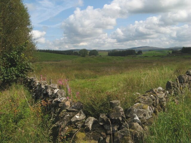
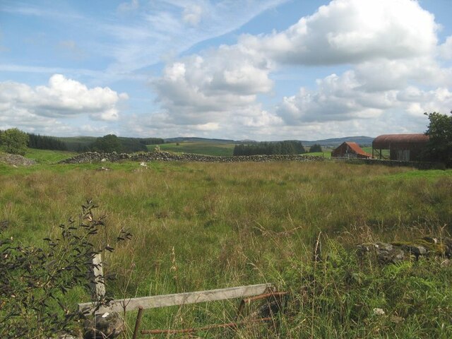
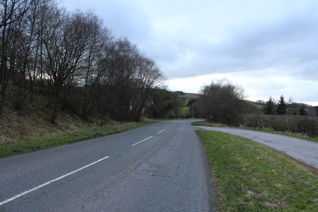
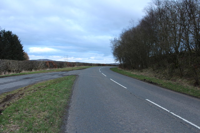
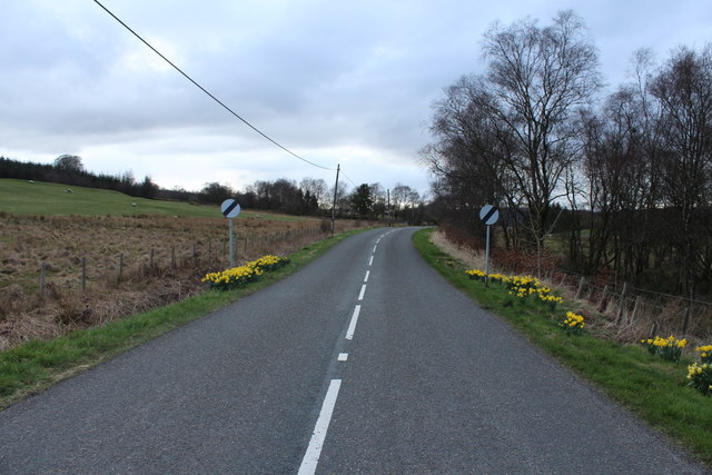
Arvie Hill Images
Images are sourced within 2km of 55.070019/-3.9770704 or Grid Reference NX7376. Thanks to Geograph Open Source API. All images are credited.


Arvie Hill is located at Grid Ref: NX7376 (Lat: 55.070019, Lng: -3.9770704)
Unitary Authority: Dumfries and Galloway
Police Authority: Dumfries and Galloway
What 3 Words
///importers.enrolling.guitars. Near Castle Douglas, Dumfries & Galloway
Nearby Locations
Related Wikis

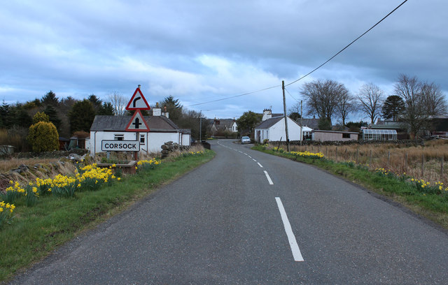
Corsock
Corsock (Scottish Gaelic: Corsag) is a village in the historical county of Kirkcudbrightshire, Dumfries and Galloway, south-west Scotland. It is located...

Glenlair House
Glenlair, near the village of Corsock in the historical county of Kirkcudbrightshire, in Dumfries and Galloway, was the home of the physicist James Clerk...

Dumfries and Galloway
Dumfries and Galloway (Scots: Dumfries an Gallowa; Scottish Gaelic: Dùn Phrìs is Gall-Ghaidhealaibh) is one of the 32 unitary council areas of Scotland...

Craigenputtock
Craigenputtock (usually spelled by the Carlyles as Craigenputtoch) is an estate in Scotland where Thomas Carlyle lived from 1828 to 1834. He wrote several...
Nearby Amenities
Located within 500m of 55.070019,-3.9770704Have you been to Arvie Hill?
Leave your review of Arvie Hill below (or comments, questions and feedback).