Banc Creignant Mawr
Hill, Mountain in Cardiganshire
Wales
Banc Creignant Mawr

Banc Creignant Mawr, located in Cardiganshire, Wales, is a prominent hill/mountain that offers breathtaking views and a rich history. Standing at an elevation of approximately 365 meters (1,198 feet), it commands attention with its imposing presence and rugged beauty.
The hill/mountain is situated within the picturesque Cambrian Mountains, a range known for its wild and untamed landscapes. Banc Creignant Mawr is surrounded by rolling hills, lush green meadows, and dense woodland, creating a stunning backdrop for outdoor enthusiasts and nature lovers.
Its diverse flora and fauna make it an ideal destination for hikers and wildlife enthusiasts. The hill/mountain supports a variety of plant species, including heather, bilberry, and mosses. It is also home to several bird species, such as red kites, buzzards, and peregrine falcons, which can be spotted soaring through the skies.
Banc Creignant Mawr has played a significant role in the local history and culture. It is believed that the hill/mountain was used as a lookout point during ancient times, providing a strategic vantage point for early settlers. Additionally, the hill/mountain has seen human activity for centuries, with remnants of ancient settlements and burial mounds found in its vicinity.
Today, Banc Creignant Mawr attracts visitors from all over, who come to appreciate its natural beauty, enjoy the tranquility of the surrounding countryside, and explore the area's rich heritage. Whether it's a leisurely stroll or a challenging hike to the summit, this hill/mountain offers an unforgettable experience for those seeking a connection with nature and a glimpse into the past.
If you have any feedback on the listing, please let us know in the comments section below.
Banc Creignant Mawr Images
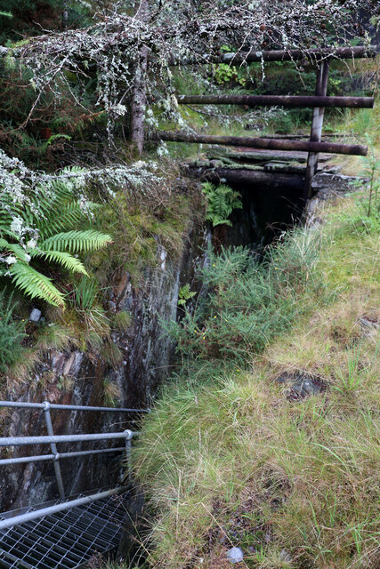
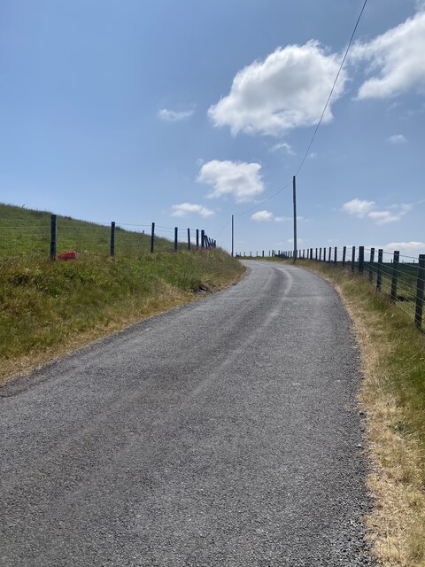
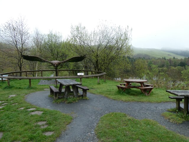
Images are sourced within 2km of 52.422435/-3.8589757 or Grid Reference SN7382. Thanks to Geograph Open Source API. All images are credited.


Banc Creignant Mawr is located at Grid Ref: SN7382 (Lat: 52.422435, Lng: -3.8589757)
Unitary Authority: Ceredigion
Police Authority: Dyfed Powys
What 3 Words
///sensitive.chuckle.straws. Near Cwmystwyth, Ceredigion
Nearby Locations
Related Wikis
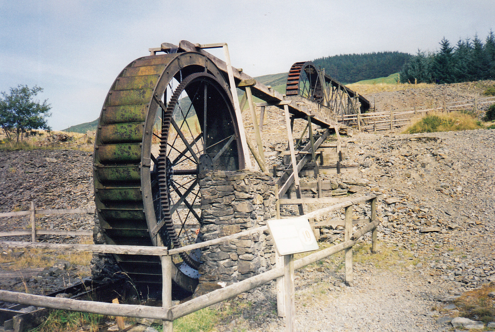
Llywernog Mine
Llywernog Mine is an 18th-century silver-lead mine in Llywernog, Ceredigion, Wales, currently run as an industrial heritage museum and tourist attraction...

Llywernog
Llywernog () is a hamlet in the community of Blaenrheidol, Ceredigion, Wales. Llywernog is represented in the Senedd by Elin Jones (Plaid Cymru) and the...

Ponterwyd
Ponterwyd (Welsh pronunciation: [pɔntˈerʊi̯d]) is a village in Ceredigion, Wales. It lies in the Cambrian Mountains of Mid Wales, approximately 12 miles...

Troed-yr-hen-riw
Troed-yr-hen-riw is a hamlet in the community of Blaenrheidol, Ceredigion, Wales, which is 70 miles (112.6 km) from Cardiff and 170.2 miles (273.8 km)...
Nearby Amenities
Located within 500m of 52.422435,-3.8589757Have you been to Banc Creignant Mawr?
Leave your review of Banc Creignant Mawr below (or comments, questions and feedback).