Bog Pond
Lake, Pool, Pond, Freshwater Marsh in Cardiganshire
Wales
Bog Pond
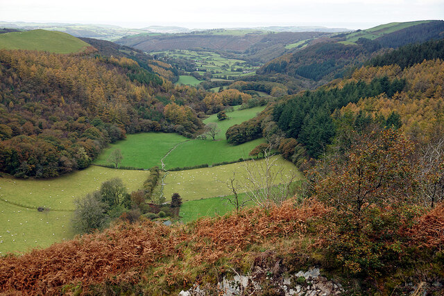
Bog Pond is a small freshwater marsh located in Cardiganshire, Wales. It is a shallow body of water surrounded by lush vegetation and wetlands. The pond is home to a variety of plant and animal species, including water lilies, reeds, frogs, and dragonflies.
Bog Pond is a popular spot for birdwatching, as it attracts a diverse range of bird species throughout the year. Visitors may spot herons, ducks, and other waterfowl in and around the pond.
The area surrounding Bog Pond is rich in biodiversity, with numerous species of plants and insects thriving in the wetland habitat. The pond also serves as an important breeding ground for amphibians and other aquatic creatures.
Despite its small size, Bog Pond plays a significant role in the local ecosystem, providing habitat for a wide range of wildlife and contributing to the overall health of the surrounding environment. Visitors can enjoy the tranquility of the pond and observe the natural beauty of this unique wetland habitat.
If you have any feedback on the listing, please let us know in the comments section below.
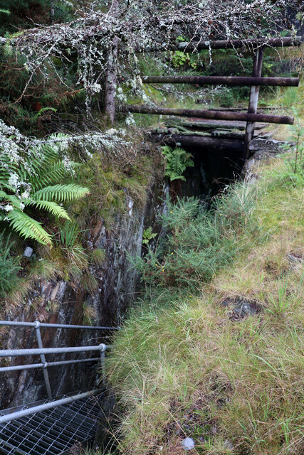
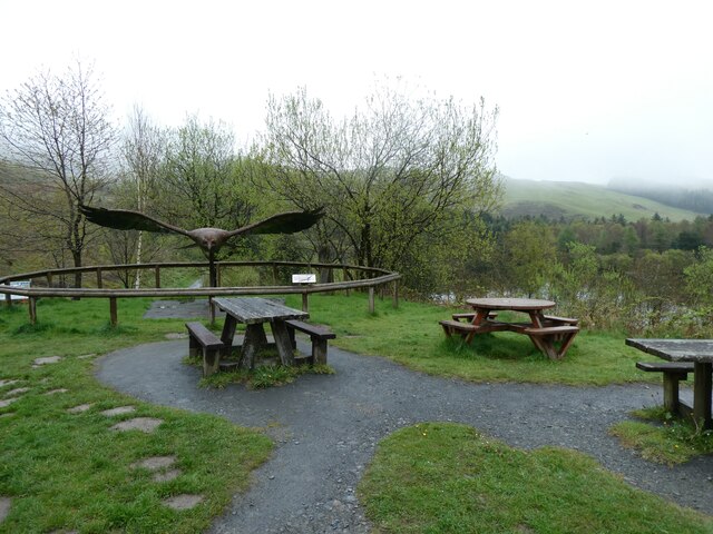
Bog Pond Images
Images are sourced within 2km of 52.424286/-3.8682017 or Grid Reference SN7382. Thanks to Geograph Open Source API. All images are credited.


Bog Pond is located at Grid Ref: SN7382 (Lat: 52.424286, Lng: -3.8682017)
Unitary Authority: Ceredigion
Police Authority: Dyfed Powys
What 3 Words
///king.spenders.steam. Near Cwmystwyth, Ceredigion
Nearby Locations
Related Wikis
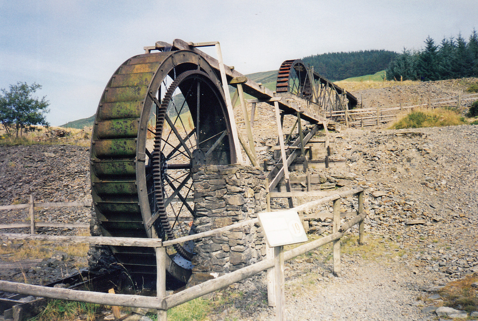
Llywernog Mine
Llywernog Mine is an 18th-century silver-lead mine in Llywernog, Ceredigion, Wales, currently run as an industrial heritage museum and tourist attraction...

Llywernog
Llywernog () is a hamlet in the community of Blaenrheidol, Ceredigion, Wales. Llywernog is represented in the Senedd by Elin Jones (Plaid Cymru) and the...

Ponterwyd
Ponterwyd (Welsh pronunciation: [pɔntˈerʊi̯d]) is a village in Ceredigion, Wales. It lies in the Cambrian Mountains of Mid Wales, approximately 12 miles...

Troed-yr-hen-riw
Troed-yr-hen-riw is a hamlet in the community of Blaenrheidol, Ceredigion, Wales, which is 70 miles (112.6 km) from Cardiff and 170.2 miles (273.8 km)...
Have you been to Bog Pond?
Leave your review of Bog Pond below (or comments, questions and feedback).