Holloway Hill
Settlement in Surrey Waverley
England
Holloway Hill
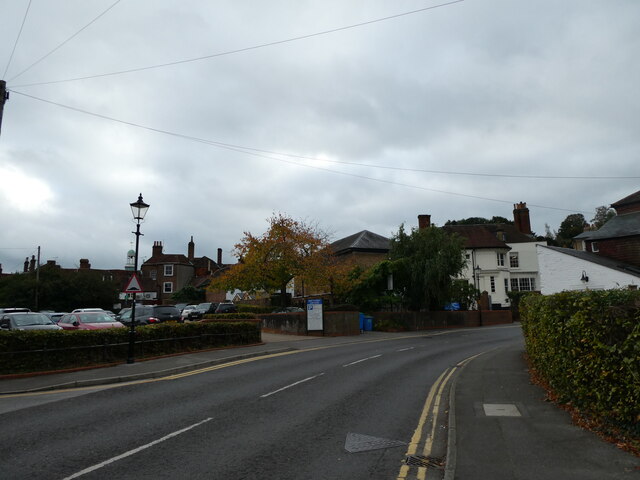
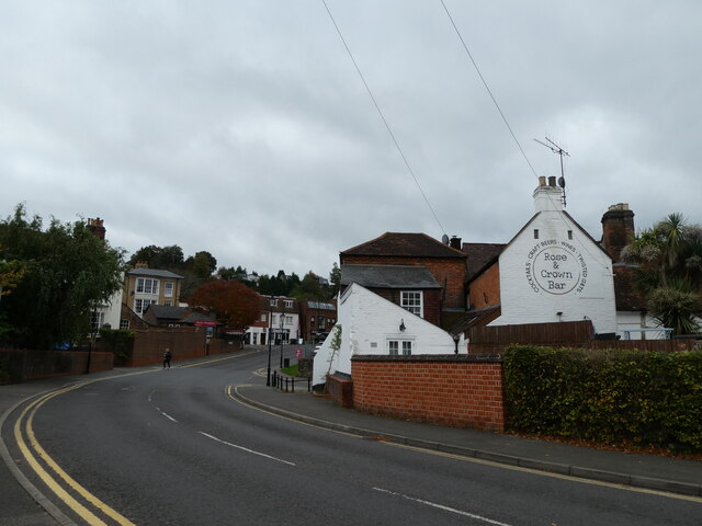
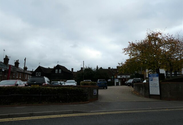
Holloway Hill is a small village located in Surrey, England. Situated on the outskirts of the town of Godalming, Holloway Hill is known for its picturesque surroundings and rich history. The village is nestled in the heart of the Surrey Hills Area of Outstanding Natural Beauty, offering residents and visitors stunning views of rolling hills, lush green fields, and dense woodlands.
Holloway Hill is home to a tight-knit community, with a population of around 500 people. The village boasts a charming mix of traditional cottages and modern houses, creating a harmonious blend of old and new. The residents of Holloway Hill enjoy a peaceful and rural lifestyle, with a strong sense of community spirit.
One of the notable landmarks in Holloway Hill is St. Mark's Church, a beautiful Victorian-era building that serves as a focal point for religious and community activities. The village also has a small primary school, providing education for local children.
The surrounding countryside offers numerous opportunities for outdoor activities, including hiking, cycling, and horse riding. Additionally, Holloway Hill is in close proximity to several popular tourist attractions, such as the historic market town of Guildford and the beautiful National Trust property, Winkworth Arboretum.
Overall, Holloway Hill is a tranquil and idyllic place to live or visit, offering a charming rural lifestyle and breathtaking natural scenery.
If you have any feedback on the listing, please let us know in the comments section below.
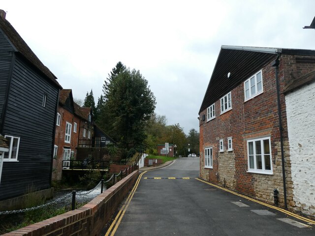
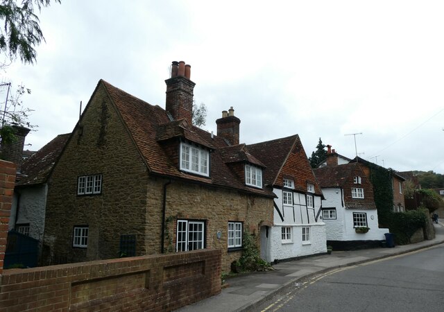
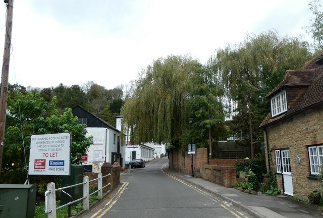
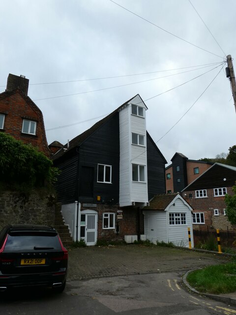
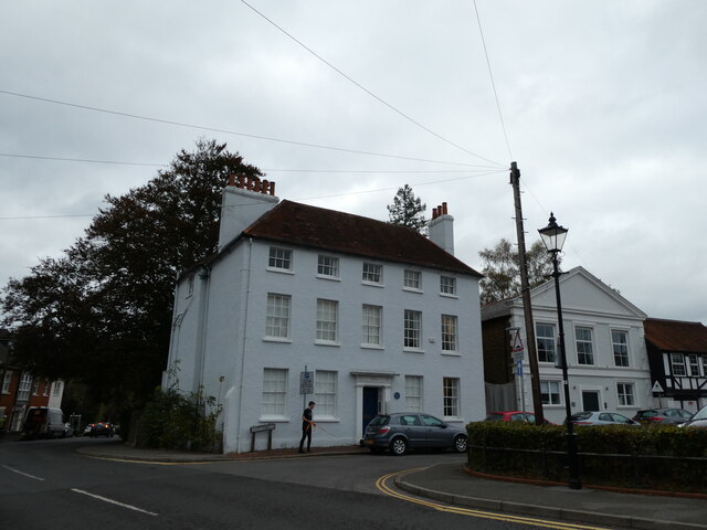
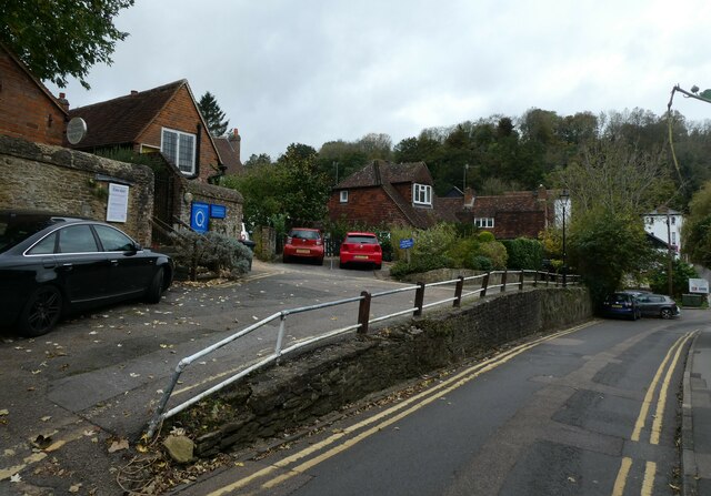
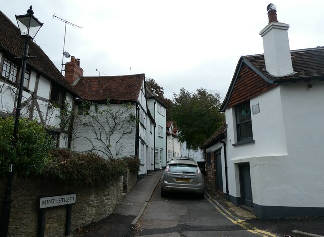
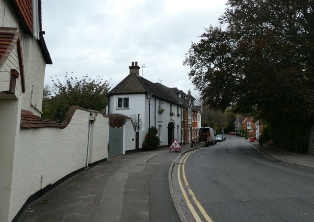
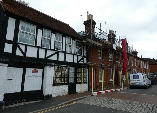
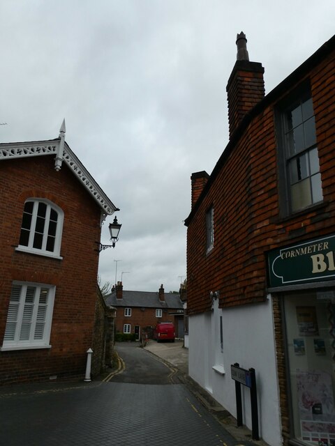
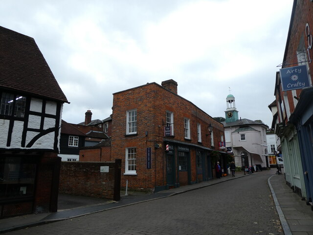
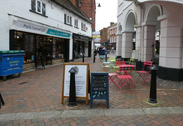
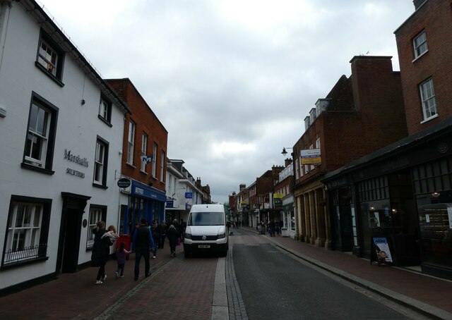
Holloway Hill Images
Images are sourced within 2km of 51.176796/-0.614309 or Grid Reference SU9642. Thanks to Geograph Open Source API. All images are credited.

Holloway Hill is located at Grid Ref: SU9642 (Lat: 51.176796, Lng: -0.614309)
Administrative County: Surrey
District: Waverley
Police Authority: Surrey
What 3 Words
///will.chin.slip. Near Godalming, Surrey
Nearby Locations
Related Wikis

Godalming College
Godalming College is a sixth form college, situated in Godalming, 31 miles (50 km) south-west of London and five miles from Guildford, Surrey. The college...

Godalming Grammar School
Godalming Grammar School was a state-funded selective grammar School taking both boys and girls, situated in Tuesley Lane, Godalming, England. == Organisation... ==

St Edmund Church, Godalming
St Edmund's Church (in full, The Church of St Edmund King and Martyr) is the Roman Catholic parish church of Godalming, a town in the English county of...
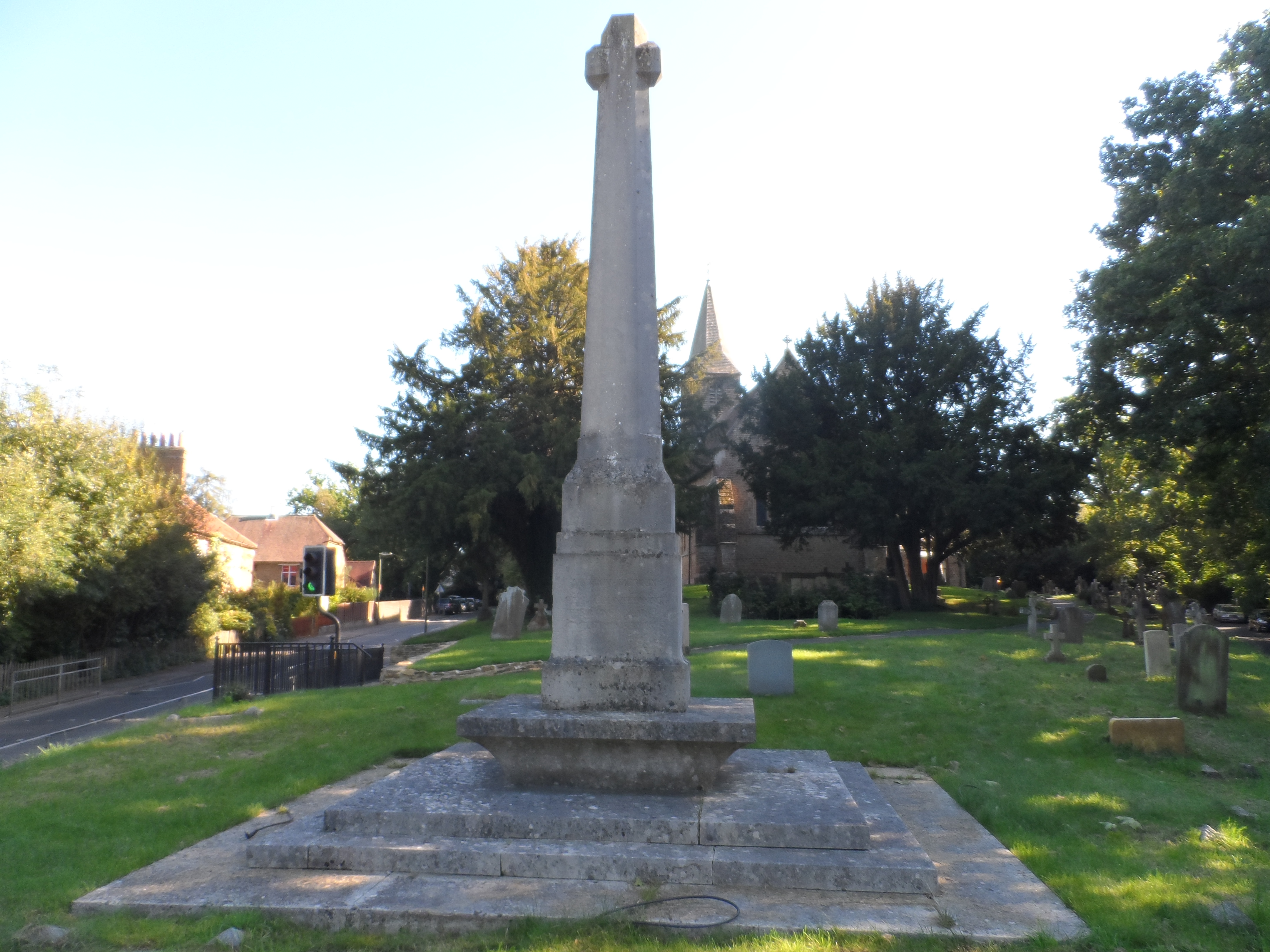
Busbridge War Memorial
Busbridge War Memorial is a First World War memorial in the churchyard of St John's Church in village of Busbridge in Surrey, south-eastern England. Designed...
Nearby Amenities
Located within 500m of 51.176796,-0.614309Have you been to Holloway Hill?
Leave your review of Holloway Hill below (or comments, questions and feedback).