Long Pond Copse
Wood, Forest in Surrey Waverley
England
Long Pond Copse
Long Pond Copse is a serene woodland located in Surrey, England. Spread across an area of approximately 80 hectares, this copse is a mesmerizing blend of ancient trees, diverse flora, and abundant wildlife. It is a popular destination for nature enthusiasts and offers a tranquil escape from the bustling city life.
The copse is characterized by its tall and majestic oak trees, some of which are believed to be several hundred years old. These trees create a dense canopy that filters the sunlight, casting a cool and soothing shade on the forest floor. The undergrowth is adorned with a variety of wildflowers, ferns, and mosses, creating a vibrant and colorful tapestry.
Long Pond Copse is home to a wide range of wildlife, including various bird species, small mammals, and insects. It is a haven for birdwatchers, as it provides an ideal habitat for species such as woodpeckers, owls, and warblers. The copse also boasts a diverse insect population, making it an excellent spot for entomologists and nature photographers.
The centerpiece of Long Pond Copse is its namesake, a picturesque pond surrounded by lush vegetation. The pond serves as a watering hole for the resident wildlife and adds to the copse's ethereal beauty. Visitors can enjoy leisurely walks along the well-marked trails that wind through the copse, immersing themselves in the serenity and natural splendor of the surroundings.
Long Pond Copse is a cherished natural gem in Surrey, offering a delightful escape into the heart of nature. Its ancient trees, vibrant flora, and abundant wildlife make it a must-visit destination for anyone seeking tranquility and a connection with the natural world.
If you have any feedback on the listing, please let us know in the comments section below.
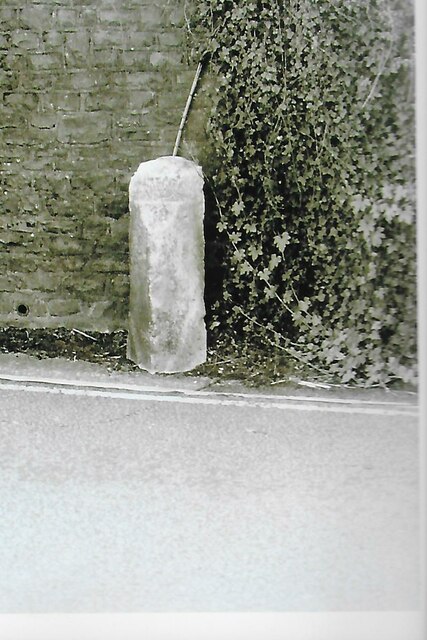
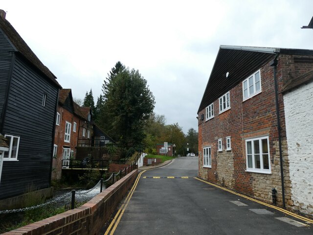
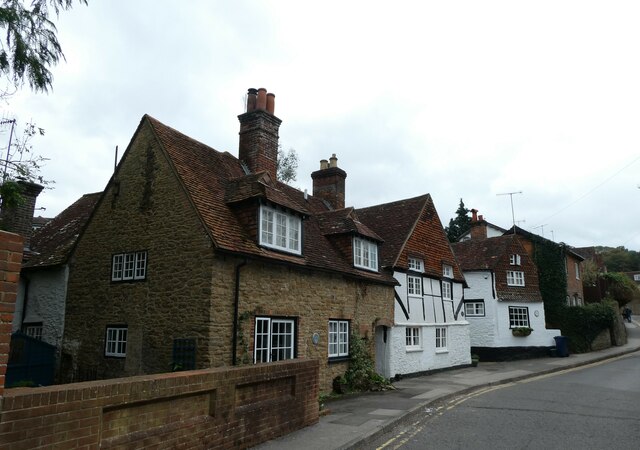
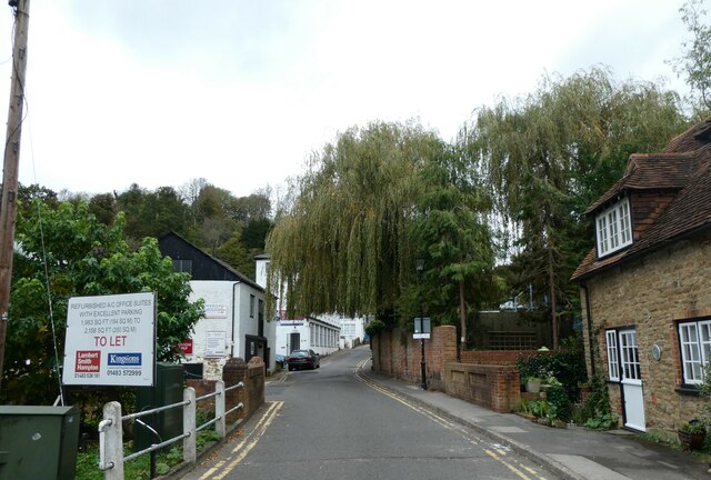
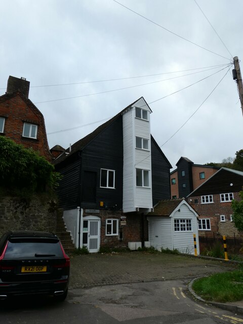
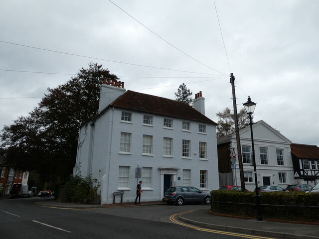
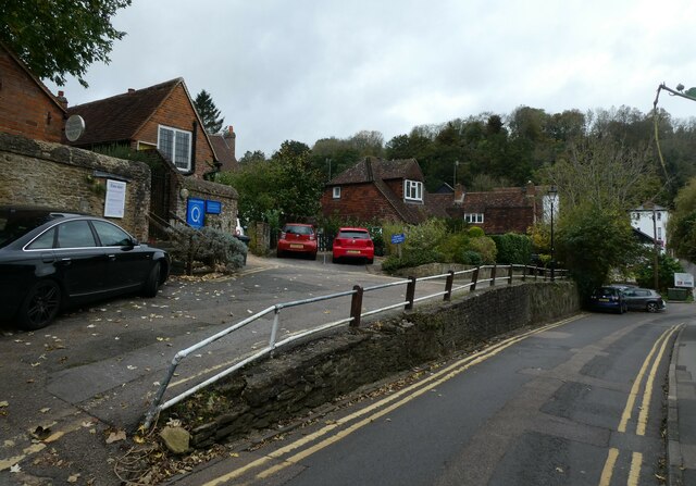
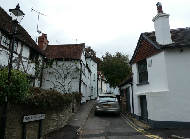
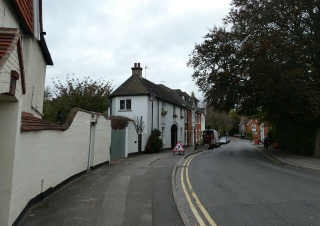
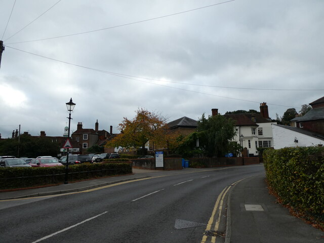
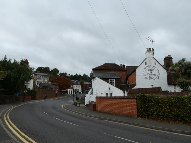
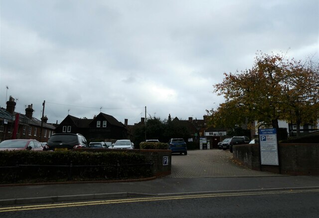
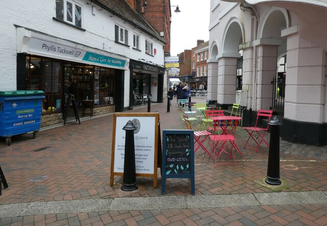
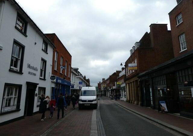
Long Pond Copse Images
Images are sourced within 2km of 51.16995/-0.61589769 or Grid Reference SU9642. Thanks to Geograph Open Source API. All images are credited.
Long Pond Copse is located at Grid Ref: SU9642 (Lat: 51.16995, Lng: -0.61589769)
Administrative County: Surrey
District: Waverley
Police Authority: Surrey
What 3 Words
///costs.nerve.beast. Near Godalming, Surrey
Nearby Locations
Related Wikis

Godalming Grammar School
Godalming Grammar School was a state-funded selective grammar School taking both boys and girls, situated in Tuesley Lane, Godalming, England. == Organisation... ==

Milford Hospital
Milford Hospital is located in the Surrey village of Milford. It is managed by the Royal Surrey County Hospital NHS Foundation Trust. == History == The...
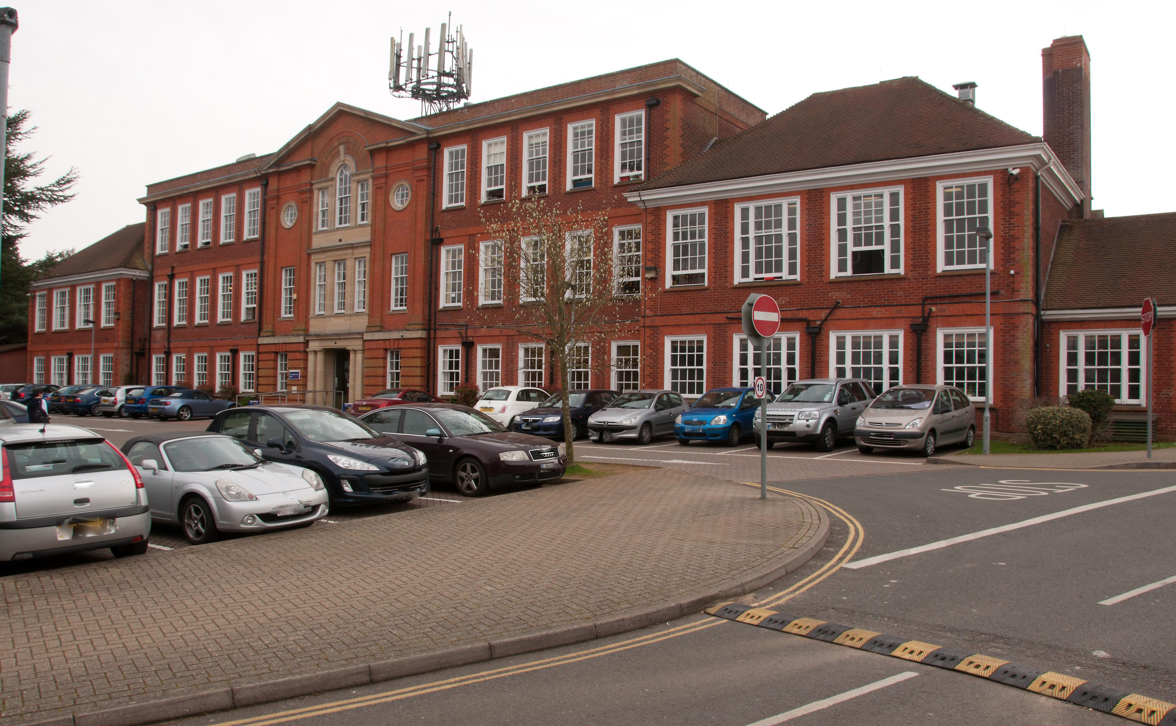
Godalming College
Godalming College is a sixth form college, situated in Godalming, 31 miles (50 km) south-west of London and five miles from Guildford, Surrey. The college...

Busbridge
Busbridge is a village and civil parish in the borough of Waverley in Surrey, England that adjoins the town of Godalming. It forms part of the Waverley...

Busbridge Church
Busbridge Church or St John the Baptist Church, is an evangelical Anglican Church in Busbridge, Godalming, England. Busbridge Church is part of a joint...
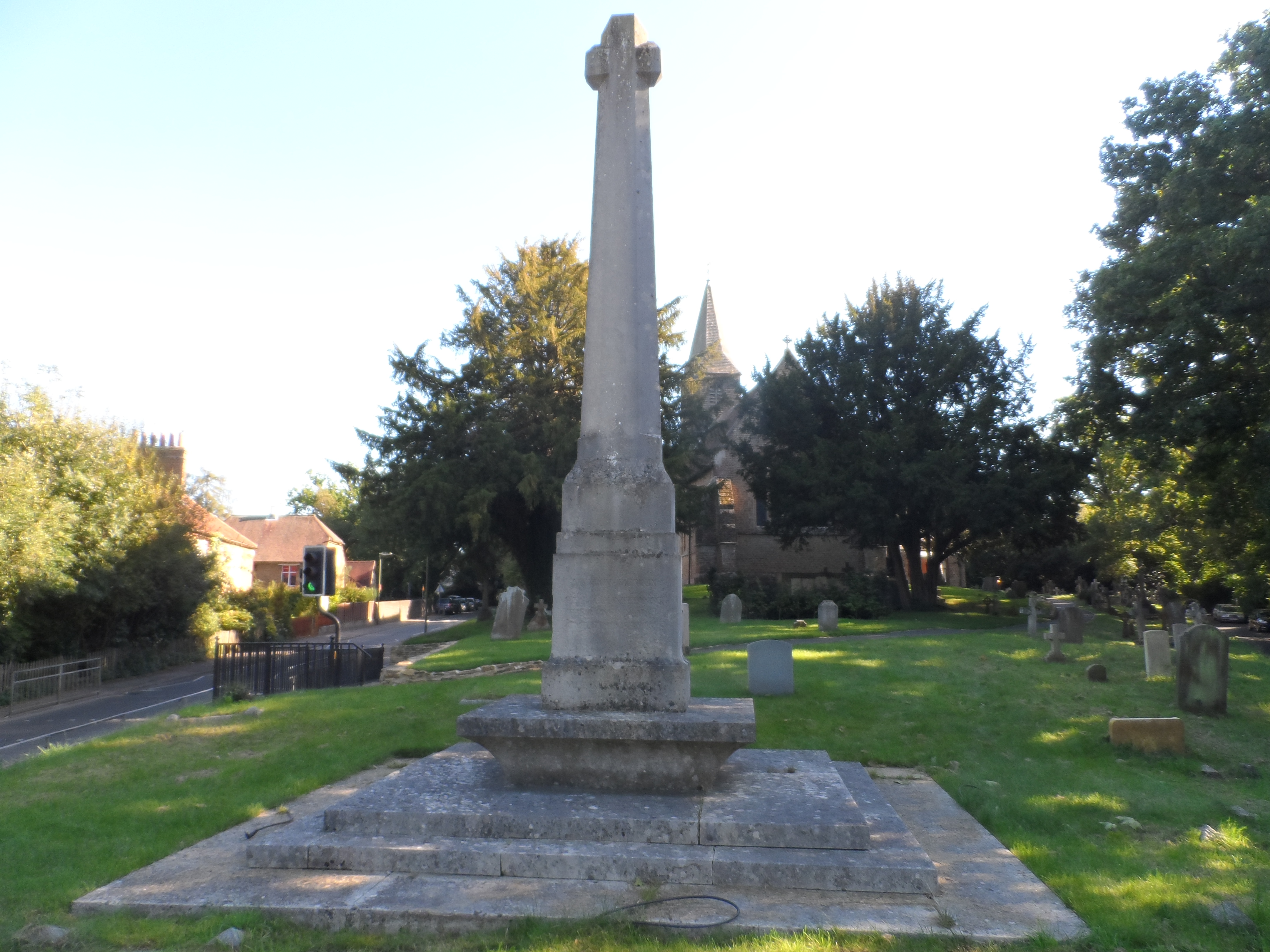
Busbridge War Memorial
Busbridge War Memorial is a First World War memorial in the churchyard of St John's Church in village of Busbridge in Surrey, south-eastern England. Designed...

Jekyll Memorial, Busbridge
The Jekyll Memorial, Busbridge, Surrey, England, commemorates the gardener Gertrude Jekyll and members of her family. Designed by Jekyll's friend and collaborator...

St Edmund Church, Godalming
St Edmund's Church (in full, The Church of St Edmund King and Martyr) is the Roman Catholic parish church of Godalming, a town in the English county of...
Nearby Amenities
Located within 500m of 51.16995,-0.61589769Have you been to Long Pond Copse?
Leave your review of Long Pond Copse below (or comments, questions and feedback).