Weather Hill
Hill, Mountain in Kirkcudbrightshire
Scotland
Weather Hill

Weather Hill is a prominent hill located in Kirkcudbrightshire, a historic county in Dumfries and Galloway, Scotland. Situated in the southern uplands, it stands at an elevation of approximately 556 meters (1,824 feet) above sea level. The hill is part of the Galloway Hills range and is characterized by its rugged and rocky terrain.
The summit of Weather Hill offers breathtaking panoramic views of the surrounding landscape, including the picturesque Galloway Forest Park and the expansive Solway Firth. On clear days, visitors can even catch glimpses of the Isle of Man and the Lake District in England.
The hill is a popular destination for hikers and nature enthusiasts due to its challenging yet rewarding trails. It is best accessed from the nearby village of Carsphairn, where a well-marked path leads up to the summit. While the ascent can be strenuous, the awe-inspiring vistas and the sense of achievement make it all worthwhile.
The hill is also home to a diverse range of flora and fauna, including heather, bracken, and numerous bird species such as buzzards and peregrine falcons. During the summer months, the slopes are adorned with colorful wildflowers, creating a vibrant tapestry against the backdrop of the rolling hills.
Overall, Weather Hill in Kirkcudbrightshire is a captivating natural landmark that offers visitors a chance to immerse themselves in the beauty of the Scottish countryside while enjoying invigorating outdoor activities.
If you have any feedback on the listing, please let us know in the comments section below.
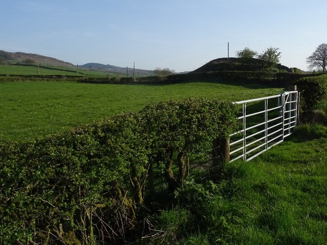
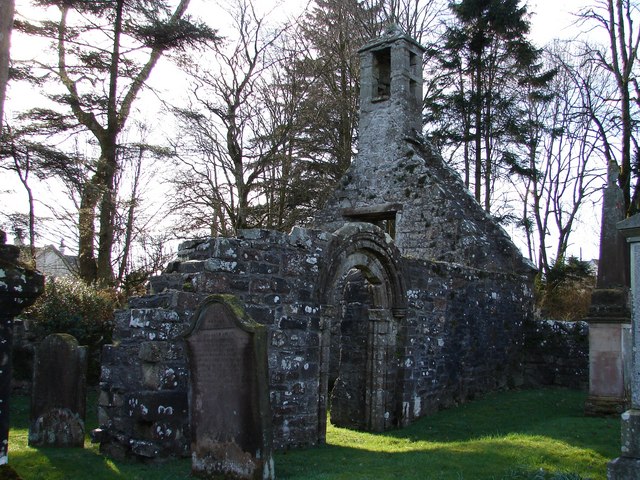
Weather Hill Images
Images are sourced within 2km of 54.88828/-3.9727093 or Grid Reference NX7356. Thanks to Geograph Open Source API. All images are credited.


Weather Hill is located at Grid Ref: NX7356 (Lat: 54.88828, Lng: -3.9727093)
Unitary Authority: Dumfries and Galloway
Police Authority: Dumfries and Galloway
What 3 Words
///consults.owned.private. Near Castle Douglas, Dumfries & Galloway
Nearby Locations
Related Wikis

Airieland
Airieland is a farm in the historical county of Kirkcudbrightshire, in the Scottish council area of Dumfries and Galloway. It is found 3 miles (5 km) south...

Bridge of Dee, Galloway
Bridge of Dee, Galloway is a settlement on the River Dee, Galloway. It lies on the A75 just west of Castle Douglas, and north-east of Kirkcudbright. The...

Bridge of Dee railway station
Bridge of Dee railway station served the settlement of Bridge of Dee, Dumfries and Galloway, Scotland from 1864 to 1949 on the Kirkcudbright Railway....

Threave Gardens
Threave Garden and Estate is a series of gardens owned and managed by the National Trust for Scotland, located near Castle Douglas in the historical county...

Gelston Castle
Gelston Castle, located near Castle Douglas in Kirkcudbrightshire in Dumfries and Galloway, Scotland, was built by Sir William Douglas of Castle Douglas...

Tongland
Tongland is a small village about 2 miles (3 km) north of Kirkcudbright, in the historic county of Kirkcudbrightshire in Dumfries and Galloway, Scotland...
Tongland Abbey
Tungland or Tongland Abbey was a Premonstratensian monastic community located in Tongland in the historical county of Kirkcudbrightshire in Dumfries and...
Ringford
Ringford is a village in the historical county of Kirkcudbrightshire in Dumfries and Galloway located at grid reference NX689578 beside the Tarff Water...
Have you been to Weather Hill?
Leave your review of Weather Hill below (or comments, questions and feedback).