Bryn Gwyn
Hill, Mountain in Cardiganshire
Wales
Bryn Gwyn
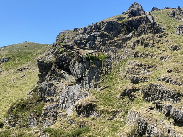
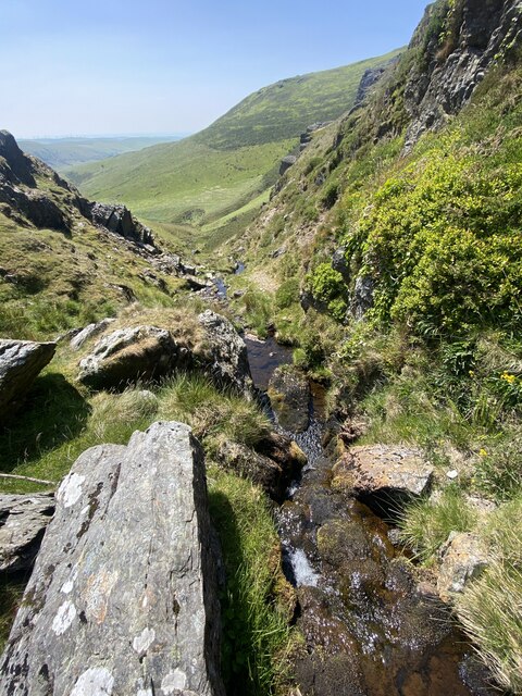
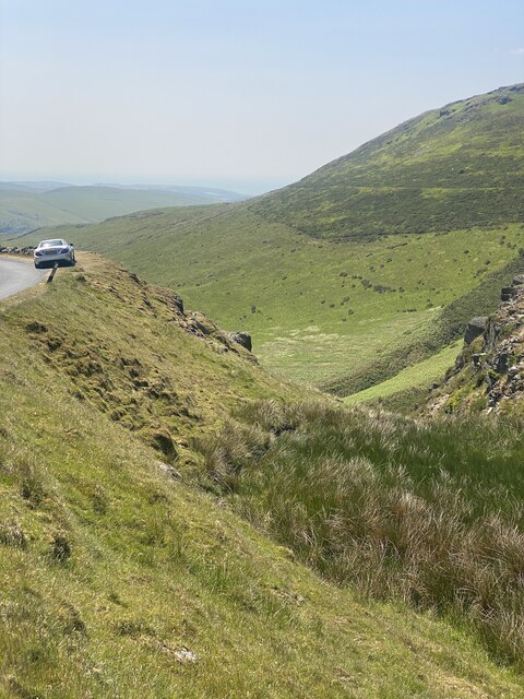
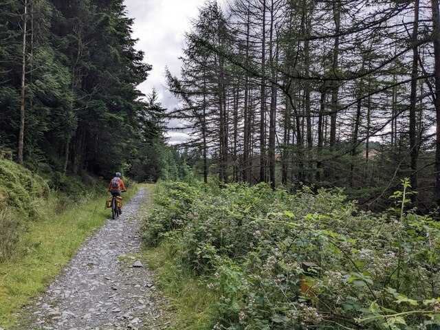
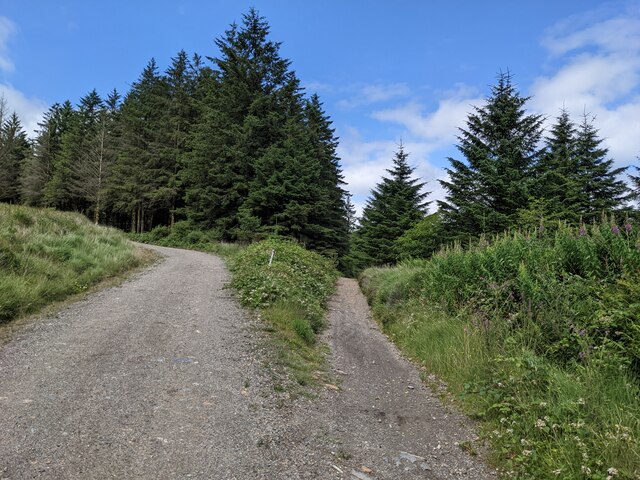
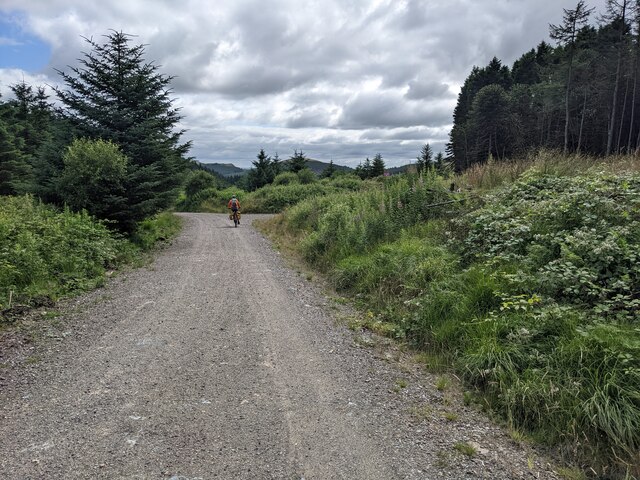
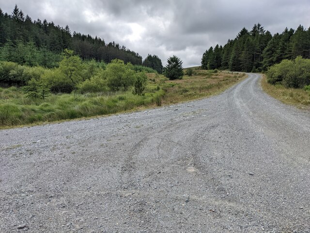
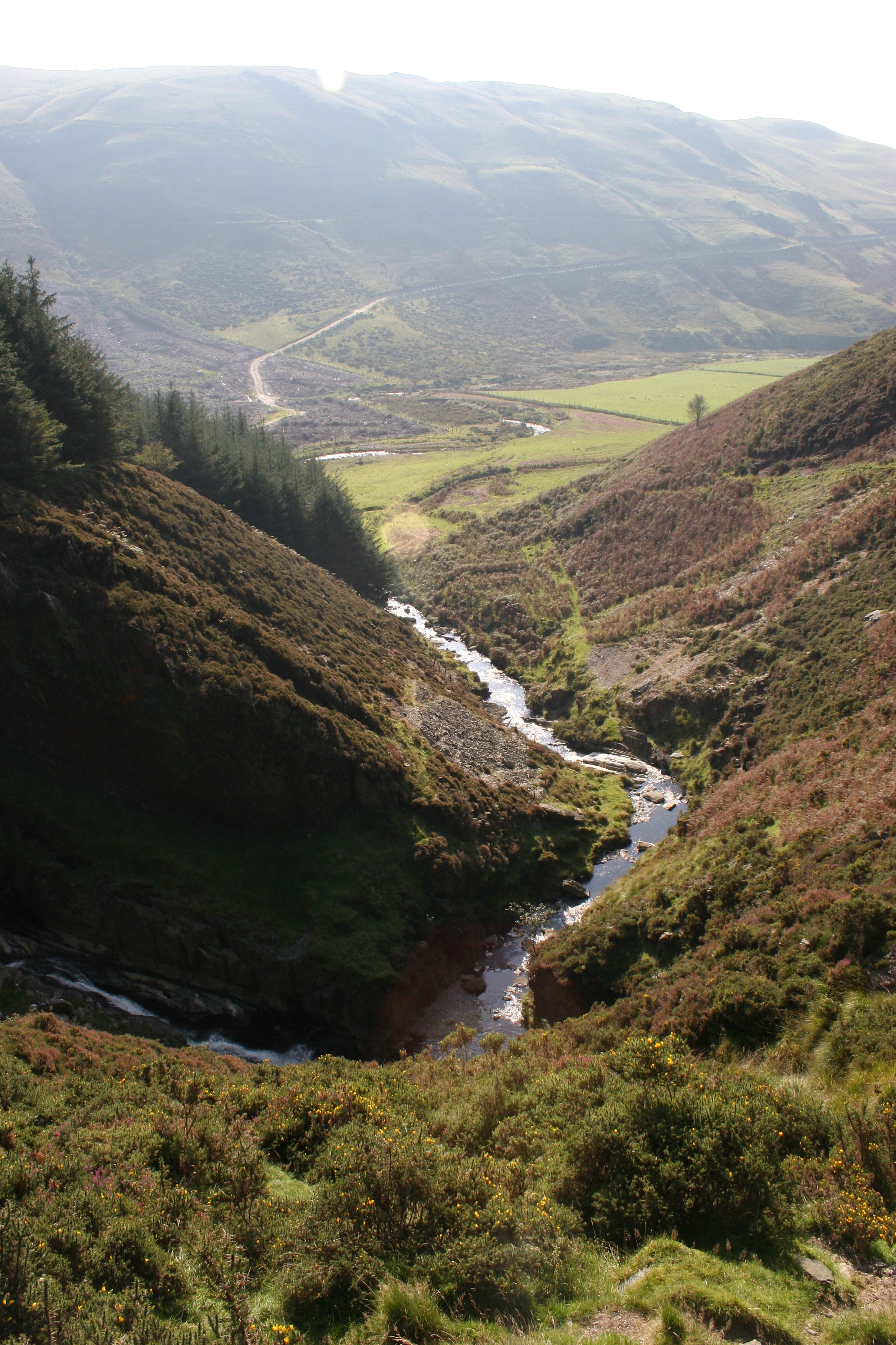
Bryn Gwyn is a hill located in Cardiganshire, Wales. It stands at an elevation of approximately 1,345 feet (410 meters) above sea level. The hill is known for its rugged terrain and breathtaking views of the surrounding countryside. Bryn Gwyn is a popular destination for hikers and outdoor enthusiasts who are looking to challenge themselves with a steep ascent and enjoy the stunning vistas from the summit.
The hill is home to a variety of flora and fauna, including heather, gorse, and a variety of bird species. The rocky outcrops and crags on Bryn Gwyn provide habitat for a range of wildlife, making it a haven for nature lovers.
Visitors to Bryn Gwyn can expect to encounter sheep and other livestock grazing on the hillside, adding to the picturesque rural landscape. The area is also steeped in history, with ancient ruins and archaeological sites scattered throughout the region.
Overall, Bryn Gwyn offers a unique and rewarding outdoor experience for those who are willing to explore its rugged beauty and immerse themselves in the natural surroundings of Cardiganshire.
If you have any feedback on the listing, please let us know in the comments section below.
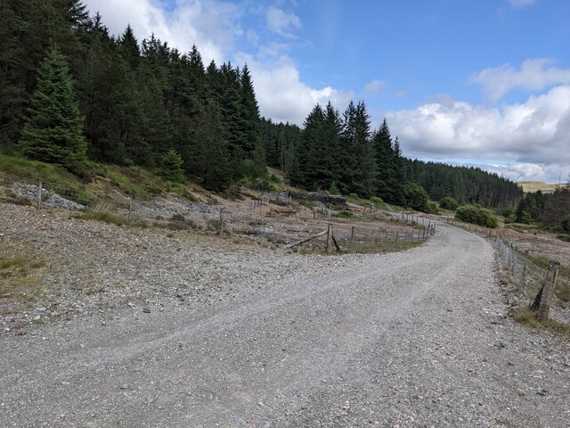
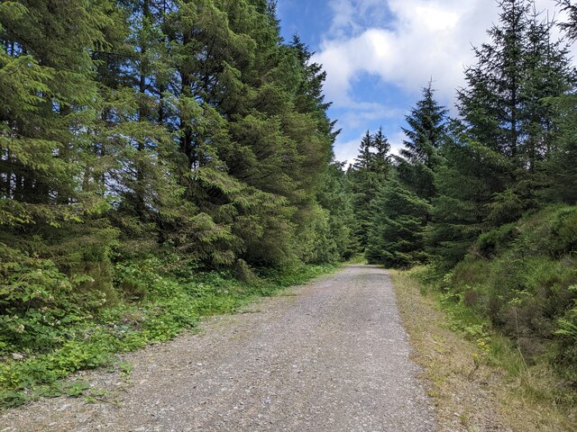
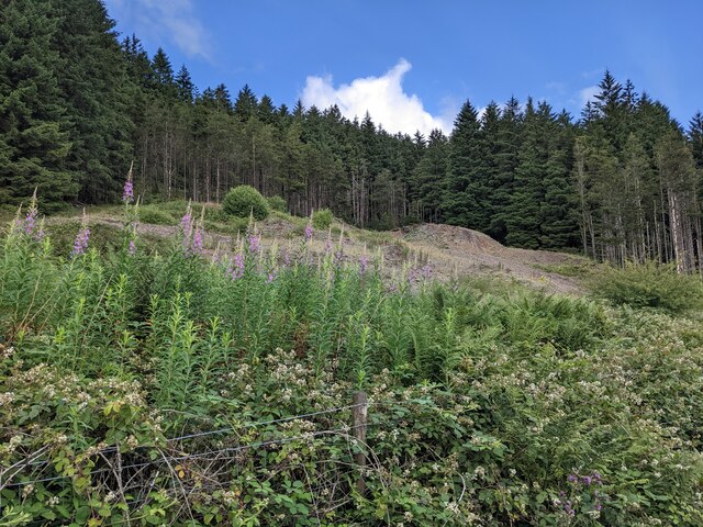
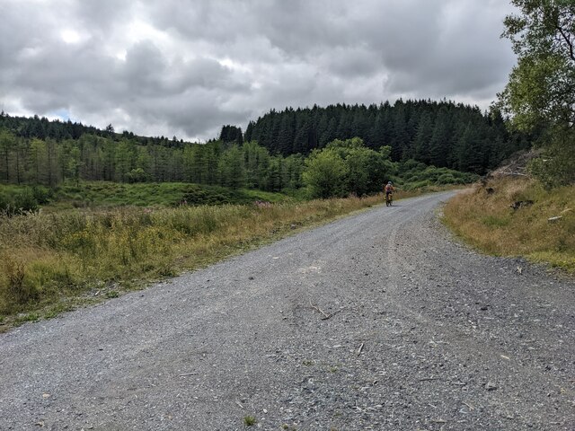
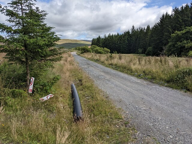
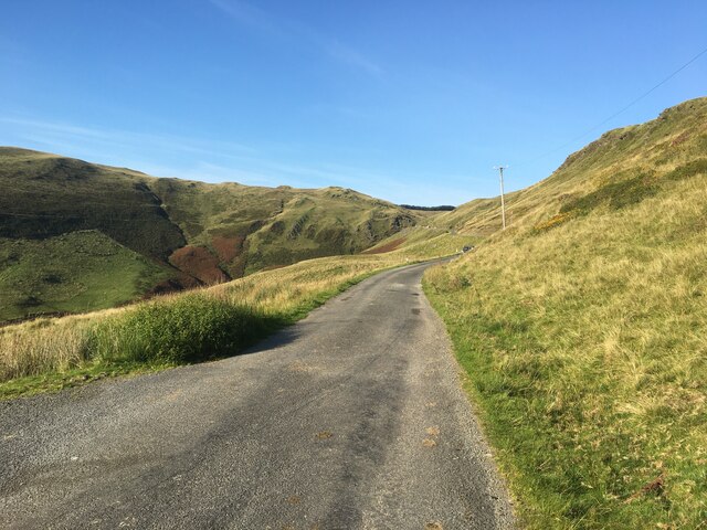
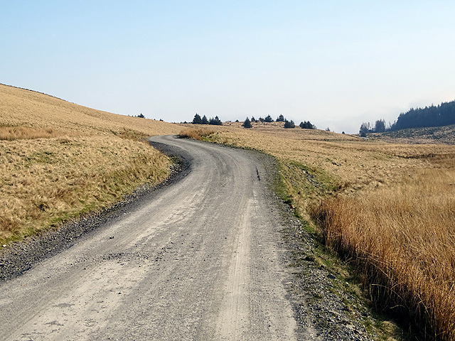
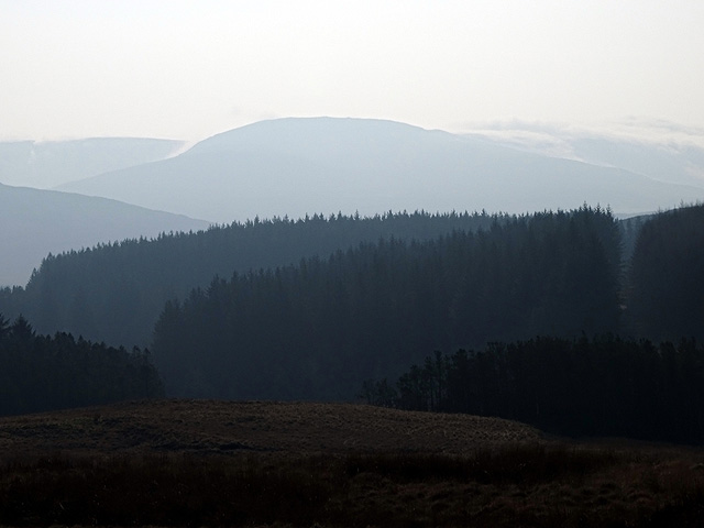
Bryn Gwyn Images
Images are sourced within 2km of 52.490862/-3.8701391 or Grid Reference SN7389. Thanks to Geograph Open Source API. All images are credited.


Bryn Gwyn is located at Grid Ref: SN7389 (Lat: 52.490862, Lng: -3.8701391)
Unitary Authority: Ceredigion
Police Authority: Dyfed Powys
What 3 Words
///brightens.dividing.strategy. Near Machynlleth, Powys
Nearby Locations
Related Wikis
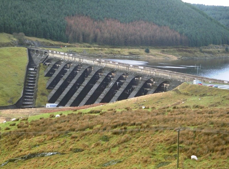
Nant-y-moch Reservoir
Nant-y-moch Reservoir () is situated in the Cambrian Mountains in northern Ceredigion, Wales, near Pumlumon. The reservoir which flooded a part of the...
Craig-y-pistyll
Craig-y-pistyll is a Site of Special Scientific Interest in Ceredigion, west Wales. It is a reservoir with a dam at one end which supplies water to the...

Ystrad Einion
Ystrad Einion or Ystrad-Einion is a small village in the community of Ysgubor-y-coed, Ceredigion, Wales, which is 78.7 miles (126.7 km) from Cardiff and...

Pistyll y Llyn
Pistyll y Llyn is one of the tallest waterfalls in Wales and the United Kingdom. It is a horsetail style set of falls which are located in the Cambrian...
Nearby Amenities
Located within 500m of 52.490862,-3.8701391Have you been to Bryn Gwyn?
Leave your review of Bryn Gwyn below (or comments, questions and feedback).