Bampton
Settlement in Oxfordshire West Oxfordshire
England
Bampton

Bampton is a small village located in the county of Oxfordshire in England. Situated about 20 miles west of Oxford, it lies within the Cherwell Valley and is part of the larger administrative district of West Oxfordshire. With a population of around 2,500 residents, Bampton boasts a rich history dating back to the Roman times.
The village is renowned for its picturesque charm, with its well-preserved thatched cottages, traditional stone buildings, and a quaint village square. It is often referred to as the "Gateway to the Cotswolds" due to its close proximity to this designated Area of Outstanding Natural Beauty.
Bampton is most famous for its association with the popular television series, "Downton Abbey." The village has been featured as the fictional village of Downton in the show, drawing visitors from around the world to explore its historic streets and landmarks, such as St Mary's Church and the Old Grammar School.
Despite its small size, Bampton boasts a strong sense of community and offers various amenities for residents and visitors. These include a primary school, a village hall, a post office, several shops, pubs, and restaurants. The village also hosts several annual events, including the Bampton Charter Fair, a centuries-old tradition that takes place in late October.
Overall, Bampton is a charming village with a rich heritage, stunning countryside surroundings, and a close-knit community. Its connection to "Downton Abbey" has further enhanced its appeal as a must-visit destination for history enthusiasts and television fans alike.
If you have any feedback on the listing, please let us know in the comments section below.
Bampton Images
Images are sourced within 2km of 51.726298/-1.545856 or Grid Reference SP3103. Thanks to Geograph Open Source API. All images are credited.


Bampton is located at Grid Ref: SP3103 (Lat: 51.726298, Lng: -1.545856)
Administrative County: Oxfordshire
District: West Oxfordshire
Police Authority: Thames Valley
What 3 Words
///ditching.audible.founders. Near Bampton, Oxfordshire
Nearby Locations
Related Wikis
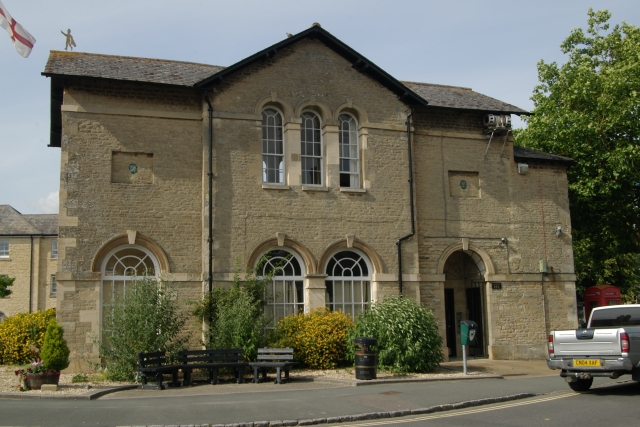
Bampton Town Hall
Bampton Town Hall is a municipal building in the Market Square in Bampton, Oxfordshire, England. The building, which is primarily used as an arts centre...

Bampton, Oxfordshire
Bampton, also called Bampton-in-the-Bush, is a settlement and civil parish in the Thames Valley about 4+1⁄2 miles (7 km) southwest of Witney in Oxfordshire...

St Mary's Church, Bampton
The Church of Saint Mary the Virgin is the Church of England parish church of Bampton, West Oxfordshire. It is in the Archdeaconry of Dorchester in the...

Bampton Castle, Oxfordshire
Bampton Castle was in the village of Bampton, Oxfordshire (grid reference SP310031). Differing accounts of its origin exist. One states that in about 1142...

Weald, Oxfordshire
Weald is a hamlet in Bampton civil parish in Oxfordshire, England. It lies about 0.7 miles (1.1 km) southwest of Bampton. The toponym Weald is from the...
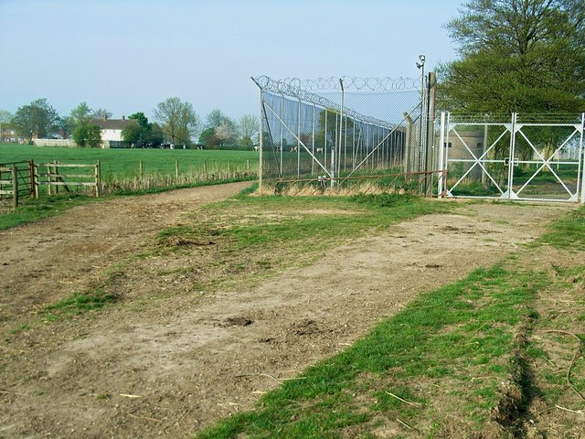
RAF Bampton Castle
Royal Air Force Bampton Castle or RAF Bampton Castle is a former non-flying Royal Air Force station near Bampton Castle, Oxfordshire, England. The base...

Aston, Oxfordshire
Aston is a village about 4 miles (6.4 km) south of Witney in West Oxfordshire, England. The village is part of the civil parish of Aston, Cote, Shifford...
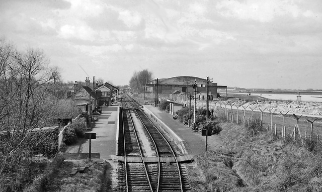
Brize Norton and Bampton railway station
Brize Norton and Bampton railway station was a railway station 1 mile (1.6 km) south of the village of Brize Norton on the Oxford, Witney and Fairford...
Nearby Amenities
Located within 500m of 51.726298,-1.545856Have you been to Bampton?
Leave your review of Bampton below (or comments, questions and feedback).