Ben Halton

Hill, Mountain in Perthshire

Scotland

Ben Halton

End of track Shows the last section of the road leading the quarry marked OS maps.
End of track Credit: AllanKnaik

Ben Halton is a prominent hill located in Perthshire, Scotland. Standing at an elevation of 1,028 meters (3,373 feet), it is recognized as one of the most popular and challenging mountains in the region. The hill is part of the Grampian Mountains, offering stunning panoramic views of the surrounding landscape.

Situated approximately 10 kilometers (6 miles) south of Pitlochry, Ben Halton is easily accessible to hikers and mountaineers. The ascent to the summit can be undertaken from several starting points, with the most common being the nearby village of Blair Atholl. The initial part of the climb is relatively gentle, but as one approaches the summit, the gradient becomes steeper, demanding a moderate level of fitness and mountaineering experience.

The hill is renowned for its diverse flora and fauna, making it a popular destination for nature enthusiasts. Its slopes are covered in heather and grasses, providing a haven for a variety of bird species, including peregrine falcons and golden eagles. Additionally, the area is home to red deer and wild goats, which can often be spotted along the mountainside.

At the top of Ben Halton, visitors are rewarded with breathtaking views across the surrounding countryside, including the beautiful Loch Tummel and the distant Cairngorms National Park. On clear days, it is even possible to see as far as the Ben Nevis, the highest mountain in the British Isles.

Overall, Ben Halton offers a challenging yet rewarding outdoor experience, combining stunning natural beauty with a sense of adventure.

If you have any feedback on the listing, please let us know in the comments section below.

Ben Halton Images

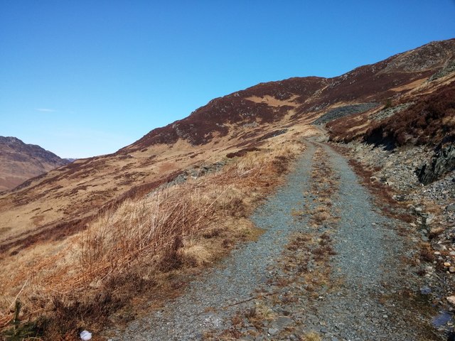
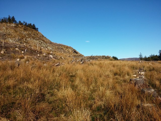
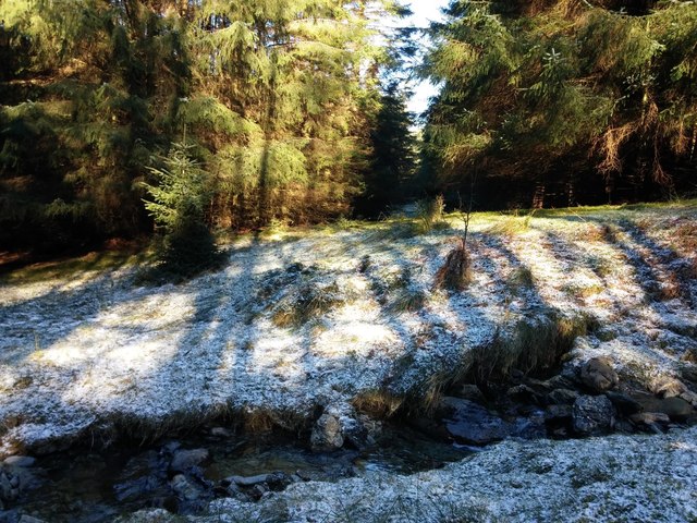
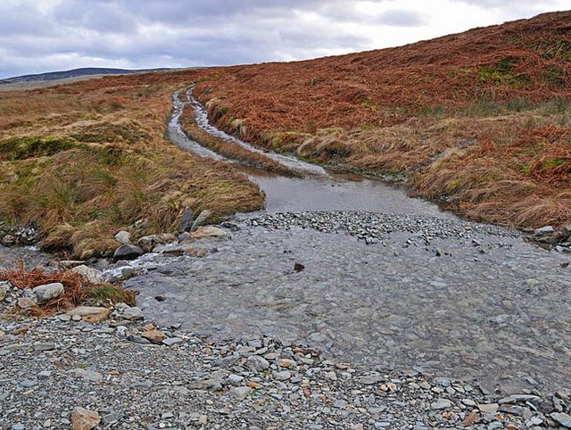
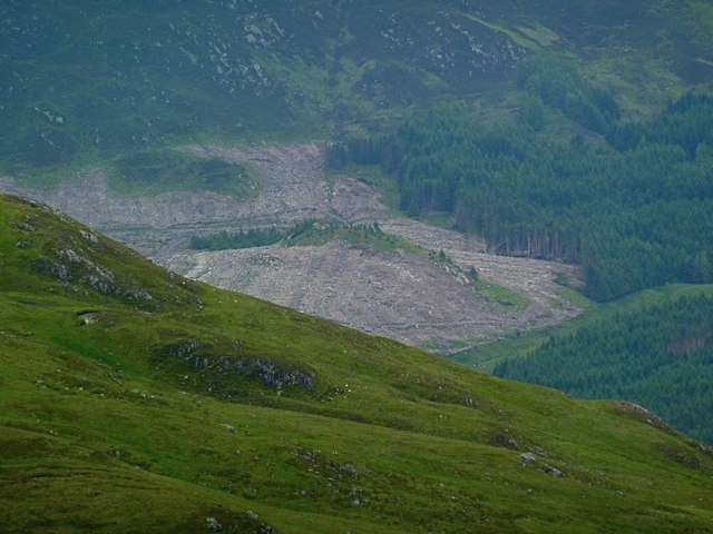
Images are sourced within 2km of 56.358192/-4.0724408 or Grid Reference NN7220. Thanks to Geograph Open Source API. All images are credited.

End of track Shows the last section of the road leading the quarry marked OS maps.
End of track
Shows the last section of the road leading the quarry marked OS maps.
Mor Bheinn (trig point) Looking towards Ben Vorlich from the summit of Mor Bheinn.
Mor Bheinn (trig point)
Looking towards Ben Vorlich from the summit of Mor Bheinn.
Mor Bheinn (trig point) The triangulation pillar on the summit of Mor Bheinn.
Mor Bheinn (trig point)
The triangulation pillar on the summit of Mor Bheinn.
End of track Shows the terrain looking back towards the end of the road shown on the OS maps. The road can be seen as a bulldozed flat area in the centre of the image. South of here is rough ground.
End of track
Shows the terrain looking back towards the end of the road shown on the OS maps. The road can be seen as a bulldozed flat area in the centre of the image. South of here is rough ground.
In the woods Shows the river marked on OS maps and the surrounding terrain. Gives some idea of the route between the roads, marked on OS maps, which end north and south of this point.
In the woods
Shows the river marked on OS maps and the surrounding terrain. Gives some idea of the route between the roads, marked on OS maps, which end north and south of this point.
Mor Bheinn summit towards St Fillans and Loch Earn Heathery north-west side of this Graham, with the Bioran Beag ridge prominent. A day of warm sun and cold easterly wind.
Mor Bheinn summit towards St Fillans and Loch Earn
Heathery north-west side of this Graham, with the Bioran Beag ridge prominent. A day of warm sun and cold easterly wind.
Autumnal Hillside Not only are the russet colours of the grass a clue to the season but the rut was in full swing in the glen of the Allt Glas above Glen Artney - it was a very noisy place to be!
Autumnal Hillside
Not only are the russet colours of the grass a clue to the season but the rut was in full swing in the glen of the Allt Glas above Glen Artney - it was a very noisy place to be!
Slopes of Ben Halton Autumn colours on the slopes of Ben Halton and autumn was even more obvious to the photographer as the sound of rutting stags was everywhere.
Slopes of Ben Halton
Autumn colours on the slopes of Ben Halton and autumn was even more obvious to the photographer as the sound of rutting stags was everywhere.
Hill Track above Tomanour This track originally led to the Aberuchill Quarry, now disused.
Hill Track above Tomanour
This track originally led to the Aberuchill Quarry, now disused.
Hill Track crossing the Aberuchill Burn The largest of a series of fords crossing burns flowing down from Ben Halton
Hill Track crossing the Aberuchill Burn
The largest of a series of fords crossing burns flowing down from Ben Halton
Old Field System near to Carsehalton Dun Dubh in the background
Old Field System near to Carsehalton
Dun Dubh in the background
Hill Track near Carsehalton , looking North Ben Halton on the left, An Sidhean on the Right
Hill Track near Carsehalton , looking North
Ben Halton on the left, An Sidhean on the Right
Drystane Dyke and track over moorland Sron nam Broighleag in the background
Drystane Dyke and track over moorland
Sron nam Broighleag in the background
Moorland with sheep Glen Artney behind
Moorland with sheep
Glen Artney behind
Dun Dubh, Track in the foreground
Moorland in Glen Artney, Perthshire The edge of the plateau between Dun Dubh <a href="https://www.geograph.org.uk/gridref/NN+720+189">NN 720 189</a> and Ben Halton <a href="https://www.geograph.org.uk/gridref/NN+717+203">NN 717 203</a> can be seen on the horizon.
Moorland in Glen Artney, Perthshire
The edge of the plateau between Dun Dubh NN 720 189 and Ben Halton NN 717 203 can be seen on the horizon.
Large clear felled area near Ben Halton From the heights of Meall Reamhar. Again, these are the ubiquitous spruce trees - coming to maturity.
Large clear felled area near Ben Halton
From the heights of Meall Reamhar. Again, these are the ubiquitous spruce trees - coming to maturity.
Mor Bheinn (640m) and Beinn Bhearnach (604m) Viewed across heather moorland above East Dundurn Wood.  Mor Bheinn is a Graham (Scottish hill between 2000 and 2499 feet above sea level).
Mor Bheinn (640m) and Beinn Bhearnach (604m)
Viewed across heather moorland above East Dundurn Wood. Mor Bheinn is a Graham (Scottish hill between 2000 and 2499 feet above sea level).
Show me another place!

Ben Halton is located at Grid Ref: NN7220 (Lat: 56.358192, Lng: -4.0724408)

Unitary Authority: Perth and Kinross

Police Authority: Tayside

What 3 Words

///routs.bands.champions. Near Comrie, Perth & Kinross

Nearby Locations

Sròn a' Mhill Ben Halton

Related Wikis

Aberuchill Castle

Aberuchill Castle is located 3 kilometres (1.9 mi) west of Comrie in Perthshire, Scotland. It comprises an early 17th-century tower house, which was extended...

Glen Artney

Glen Artney or Glenartney is a valley in Perthshire, Scotland. Several ships have been named Glenartney: SS Glenartney (1869), an iron-hulled steamship...

Dalchonzie

Dalchonzie is a place by the river Earn in Perthshire. Buildings there include a country house, a hydro-electric power station and farms. From 1903 to...

Dundurn, Scotland

Dundurn is the site of a Pictish hillfort in what is now Strathearn in Perth and Kinross, Scotland. The fort was situated on a hill with the River Earn...

Nearby Amenities

Located within 500m of 56.358192,-4.0724408
Ben Halton
Ele: 621
Natural: peak
Lat/Long: 56.3585969/-4.0732731
The data included in this document is from www.openstreetmap.org. The data is made available under ODbL.

Have you been to Ben Halton?

Leave your review of Ben Halton below (or comments, questions and feedback).