Berrie Hill

Hill, Mountain in Ayrshire

Scotland

Berrie Hill

At the summit of Cairn Table Although a little cloudy, views were still extensive, taking in Ailsa Craig, Kintyre, Arran, Ben Lomond, Ben Lawers and the Campsie Fells as well as the somewhat closer Lowther Hills and Tinto Hills.

This photograph was taken during the Coronavirus (COVID-19) pandemic of 2020/21.
At the summit of Cairn Table Credit: James T M Towill

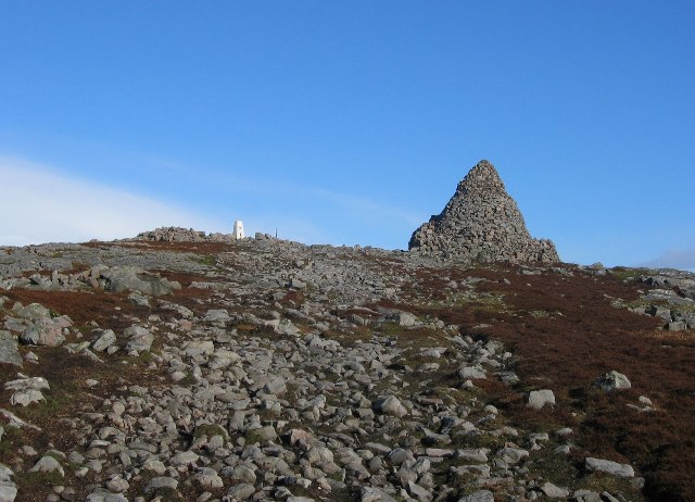
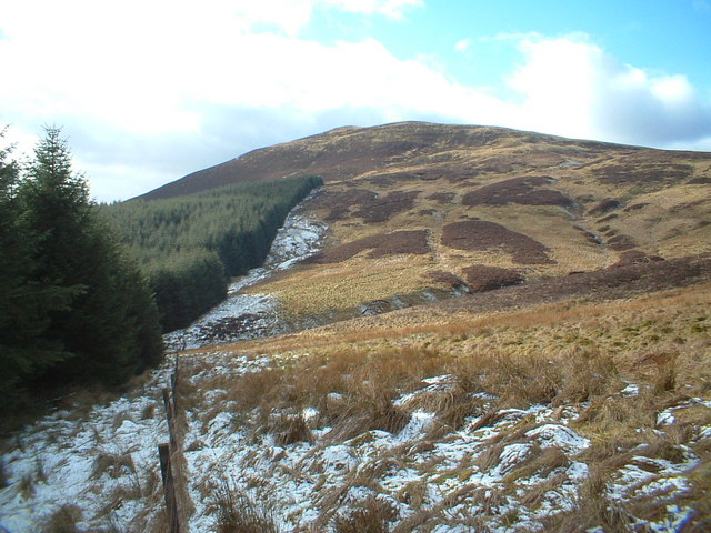
Berrie Hill is a small hill located in the region of Ayrshire, Scotland. It is part of the Southern Uplands, which is a range of rolling hills and low mountains. Berrie Hill has an elevation of approximately 328 feet (100 meters) above sea level.

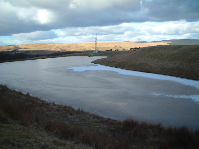
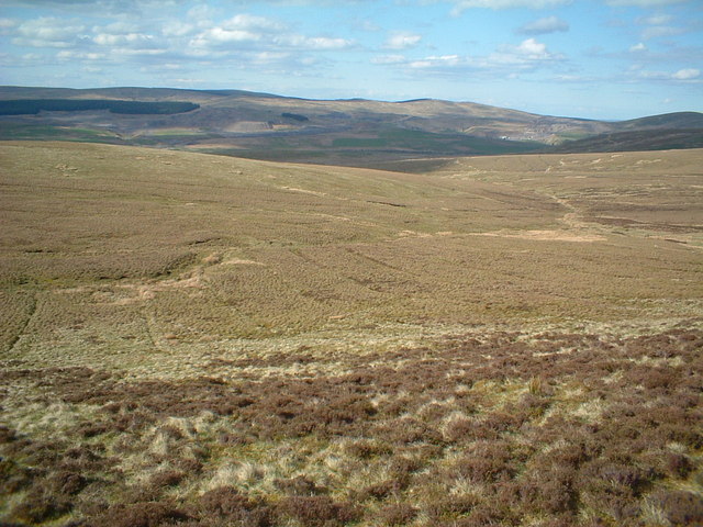
The hill is situated near the town of Ayr and offers panoramic views of the surrounding countryside. Its location provides visitors with a peaceful and tranquil atmosphere, making it a popular destination for hikers, nature enthusiasts, and photographers.

The landscape of Berrie Hill is characterized by grassy slopes and scattered trees, creating a picturesque setting. The hill is home to various plant and animal species, including wildflowers, birds, and small mammals.

There are several walking trails that lead to the summit of Berrie Hill, allowing visitors to explore the area and enjoy the stunning vistas. The climb is relatively easy, making it suitable for people of all ages and fitness levels.

Nearby, there are also a few farms and agricultural fields that add to the charm of the countryside. The hill is a great spot for picnics, with designated areas where visitors can relax and take in the beautiful surroundings.

Overall, Berrie Hill is a delightful destination for those seeking a peaceful retreat in the heart of Ayrshire. Its natural beauty, accessibility, and panoramic views make it a must-visit location for outdoor enthusiasts and nature lovers alike.

If you have any feedback on the listing, please let us know in the comments section below.

Berrie Hill Images

Images are sourced within 2km of 55.506334/-4.0296251 or Grid Reference NS7125. Thanks to Geograph Open Source API. All images are credited.

At the summit of Cairn Table Although a little cloudy, views were still extensive, taking in Ailsa Craig, Kintyre, Arran, Ben Lomond, Ben Lawers and the Campsie Fells as well as the somewhat closer Lowther Hills and Tinto Hills.

This photograph was taken during the Coronavirus (COVID-19) pandemic of 2020/21.
At the summit of Cairn Table
Although a little cloudy, views were still extensive, taking in Ailsa Craig, Kintyre, Arran, Ben Lomond, Ben Lawers and the Campsie Fells as well as the somewhat closer Lowther Hills and Tinto Hills. This photograph was taken during the Coronavirus (COVID-19) pandemic of 2020/21.
Spring on the descent from Cairn Table It's difficult to see in the photo, but someone has inserted a pipe to channel the water cleanly from the spring.
Spring on the descent from Cairn Table
It's difficult to see in the photo, but someone has inserted a pipe to channel the water cleanly from the spring.
The Steel, Cairn Table The most commonly used route up Cairn Table follows this spur, named The Steel.

Scots dictionaries define one sense of the word 'steel' as 'a steep bank, especially a spur of a hill-ridge', which seems to fit well with the landscape here:

<span class="nowrap"><a title="https://dsl.ac.uk/entry/snd/steel_n2" rel="nofollow ugc noopener" href="https://dsl.ac.uk/entry/snd/steel_n2">Link</a><img style="margin-left:2px;" alt="External link" title="External link - shift click to open in new window" src="https://s1.geograph.org.uk/img/external.png" width="10" height="10"/></span>
The Steel, Cairn Table
The most commonly used route up Cairn Table follows this spur, named The Steel. Scots dictionaries define one sense of the word 'steel' as 'a steep bank, especially a spur of a hill-ridge', which seems to fit well with the landscape here: LinkExternal link
Trig and war memorial cairn, Cairn Table The large cairn was constructed in 1920 as a memorial to those who served in the First World War.
Trig and war memorial cairn, Cairn Table
The large cairn was constructed in 1920 as a memorial to those who served in the First World War.
Prehistoric cairn and trig point on Cairn Table The cairn in the background here is one of two Bronze Age or Iron Age cairns on the summit of Cairn Table, the other of which was heavily robbed in 1920 to build the nearby First World War memorial cairn.

Some of the wind turbines of the recently developed Kennoxhead Wind Farm, one of many wind farms in the area, are visible in the distance.
Prehistoric cairn and trig point on Cairn Table
The cairn in the background here is one of two Bronze Age or Iron Age cairns on the summit of Cairn Table, the other of which was heavily robbed in 1920 to build the nearby First World War memorial cairn. Some of the wind turbines of the recently developed Kennoxhead Wind Farm, one of many wind farms in the area, are visible in the distance.
Track on west side of Cairn Table Shown as a path on the large-scale plan, there is actually a quad bike track following this spur of the hill, eroded in places.
Track on west side of Cairn Table
Shown as a path on the large-scale plan, there is actually a quad bike track following this spur of the hill, eroded in places.
By the large cairn on Cairn Table Looking towards the extensive forestry plantations around the head of the Duneaton Water and its tributaries, with the Lowther Hills in the distance.
By the large cairn on Cairn Table
Looking towards the extensive forestry plantations around the head of the Duneaton Water and its tributaries, with the Lowther Hills in the distance.
View from Cairn Table to Kennoxhead Wind Farm This new wind farm, one of many in the area, has sprung up over the last year or two.
View from Cairn Table to Kennoxhead Wind Farm
This new wind farm, one of many in the area, has sprung up over the last year or two.
Kaimes Ironworks. The moors south of Muirkirk have been dug up in the past for ironstone and coal, leaving a complicated hummocky terrain.
Kaimes Ironworks.
The moors south of Muirkirk have been dug up in the past for ironstone and coal, leaving a complicated hummocky terrain.
Path up Cairn Table Just moorland in this square. Gentle slopes lead up to a popular summit. Note the duck boards to aid crossing the boggy bits.
Path up Cairn Table
Just moorland in this square. Gentle slopes lead up to a popular summit. Note the duck boards to aid crossing the boggy bits.
Cairn Table Summit There are two ancient cairns up here, one has been rebuilt as a war memorial.
Cairn Table Summit
There are two ancient cairns up here, one has been rebuilt as a war memorial.
Towards Cairn Table
Towards Cairn Table
Crossflat Burn Looking towards Muirkirk
Crossflat Burn
Looking towards Muirkirk
Reservoir and Mast
Reservoir and Mast
The path to Cairn Table
Auldhouse Burn
Auldhouse Burn
Hawlk Hill from the lower slope of Little Cairn Table
Show me another place!

Berrie Hill is located at Grid Ref: NS7125 (Lat: 55.506334, Lng: -4.0296251)

Unitary Authority: East Ayrshire

Police Authority: Ayrshire

What 3 Words

///badminton.brand.flicks. Near Muirkirk, East Ayrshire

Nearby Locations

Berrie Hill

Related Wikis

Muirkirk railway station

Muirkirk railway station was a railway station serving the village of Muirkirk, East Ayrshire, Scotland. == First station == The station opened on 9 August...

Muirkirk

Muirkirk (Scottish Gaelic: Eaglais an t-Slèibh) is a small village in East Ayrshire, southwest Scotland. It is located on the north bank of the River Ayr...

Garpel Water

The Garpel Water is a river near Muirkirk, Scotland. It flows under the Sanquhar bridge and Tibbie's Brig. It flows into the River Ayr.

Glenbuck railway station

Glenbuck railway station served the village of Glenbuck in Ayrshire, Scotland. == Opening == The Caledonian Railway extended a line from Douglas to Muirkirk...

Have you been to Berrie Hill?

Leave your review of Berrie Hill below (or comments, questions and feedback).