Earl's Hill
Hill, Mountain in Stirlingshire
Scotland
Earl's Hill

Earl's Hill is a prominent hill located in Stirlingshire, Scotland. Situated in the heart of the Stirling Council area, this hill is a popular destination for outdoor enthusiasts and nature lovers alike. With an elevation of approximately 216 meters (708 feet), Earl's Hill offers breathtaking panoramic views of the surrounding landscape.
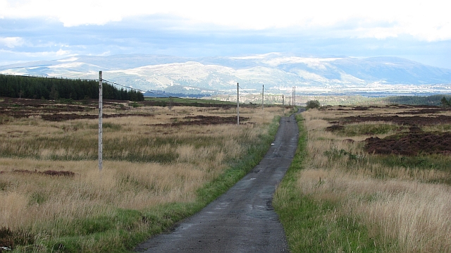
The hill is characterized by its gentle slopes, which make it accessible for hikers of all abilities. The well-maintained paths and trails leading to the summit provide a pleasant and enjoyable walking experience. The hill is covered in lush greenery, with a variety of plant species such as heather, ferns, and wildflowers adorning its slopes.
At the summit of Earl's Hill, visitors are rewarded with stunning vistas of the Stirlingshire countryside. On a clear day, one can see the majestic Ochil Hills to the east, the Campsie Fells to the south, and even the iconic Wallace Monument in Stirling to the west.
The hill also holds historical significance, as it is believed to have been a site of ancient settlements and fortifications. Archaeological finds, including remnants of stone structures and artifacts, have been discovered in the vicinity. These discoveries suggest that Earl's Hill was inhabited during prehistoric times and may have served as a defensive stronghold.
Overall, Earl's Hill in Stirlingshire offers a captivating blend of natural beauty, recreational opportunities, and historical intrigue. Whether one is seeking a peaceful walk in nature, a challenging hike, or a glimpse into Scotland's rich past, this hill is sure to leave a lasting impression.
If you have any feedback on the listing, please let us know in the comments section below.
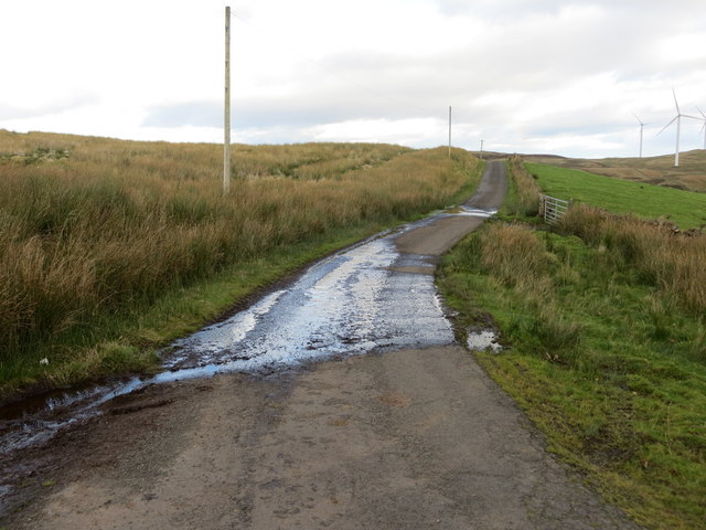
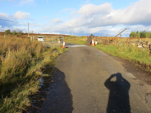
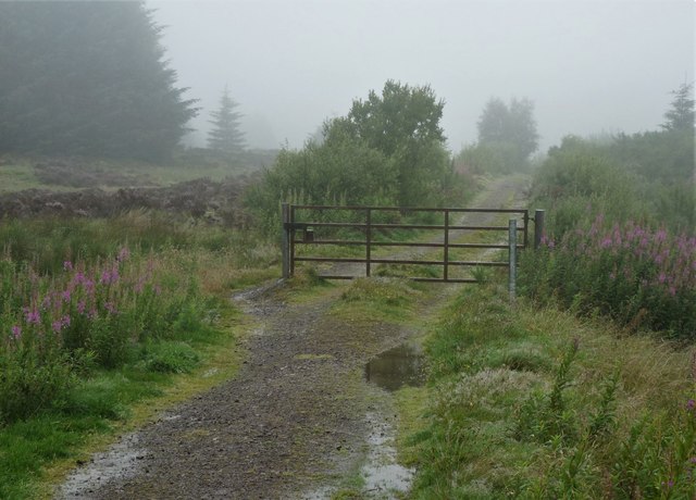
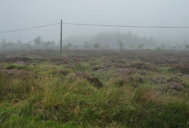
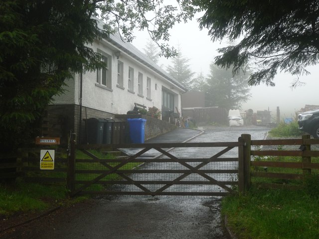
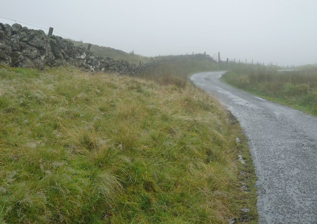
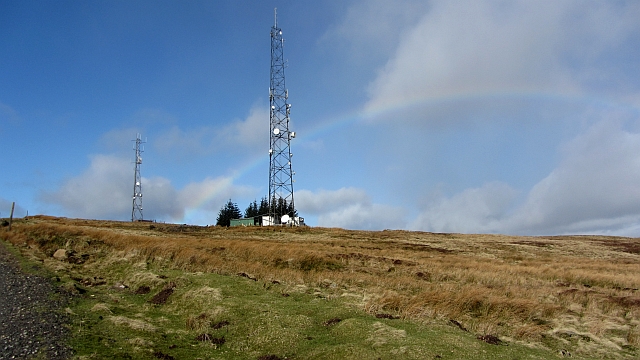
Earl's Hill Images
Images are sourced within 2km of 56.071518/-4.060189 or Grid Reference NS7188. Thanks to Geograph Open Source API. All images are credited.


Earl's Hill is located at Grid Ref: NS7188 (Lat: 56.071518, Lng: -4.060189)
Unitary Authority: Stirling
Police Authority: Forth Valley
What 3 Words
///snitch.regrowth.conspire. Near Kippen, Stirling
Nearby Locations
Related Wikis

Central 103.1 FM
Central 103.1 FM is an Independent Local Radio station serving Falkirk, Stirling, Clackmannanshire and the Forth Valley. It is owned and operated by businessman...
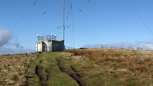
Stirling Transmitting Station
Stirling Transmitting Station is a transmission facility on Earl's Hill southwest of Stirling, Scotland. It was built at the end of the 1950s for the radio...

Gargunnock Hills
The Gargunnock Hills are a range of hills west of the city of Stirling, Scotland. They culminate in the peak of Carleatheran, whose 485-metre (1,591 ft...
Dundaff Castle, Stirling
Dundaff Castle, also known as Sir John de Graham Castle or Graham's Castle, is a ruined 12th century square motte and bailey castle in the Stirling council...
Nearby Amenities
Located within 500m of 56.071518,-4.060189Have you been to Earl's Hill?
Leave your review of Earl's Hill below (or comments, questions and feedback).