Beinn Bhearnach

Hill, Mountain in Perthshire

Scotland

Beinn Bhearnach

End of track Shows the last section of the road leading the quarry marked OS maps.
End of track Credit: AllanKnaik

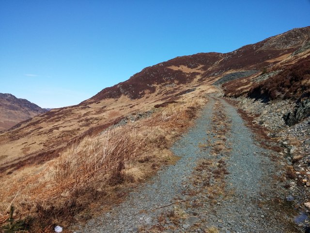
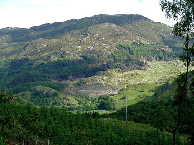
Beinn Bhearnach is a prominent hill located in Perthshire, Scotland. Standing at an elevation of 739 meters (2,425 feet), it offers breathtaking views of the surrounding landscape. The hill is part of the Ben Lawers mountain range and is a popular destination for hikers and nature enthusiasts.

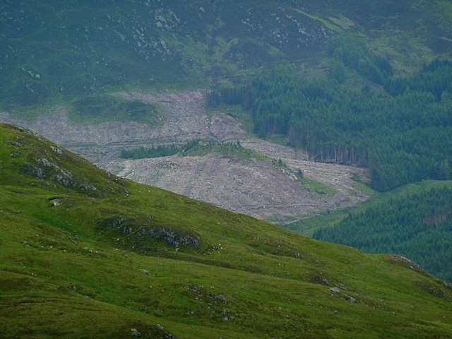
One of the notable features of Beinn Bhearnach is its rugged and rocky terrain, which poses a moderate challenge for climbers. The ascent to the summit is rewarded with panoramic vistas of Loch Tay, the Trossachs National Park, and the surrounding mountains. On a clear day, it is even possible to see as far as Ben Nevis, the highest mountain in the British Isles.

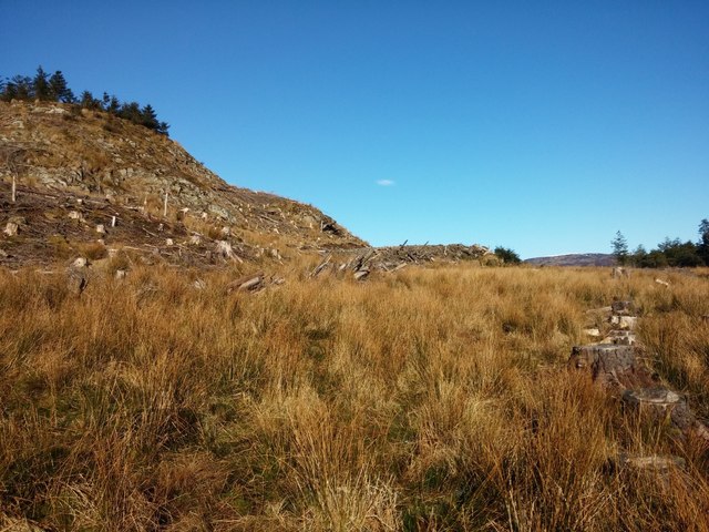
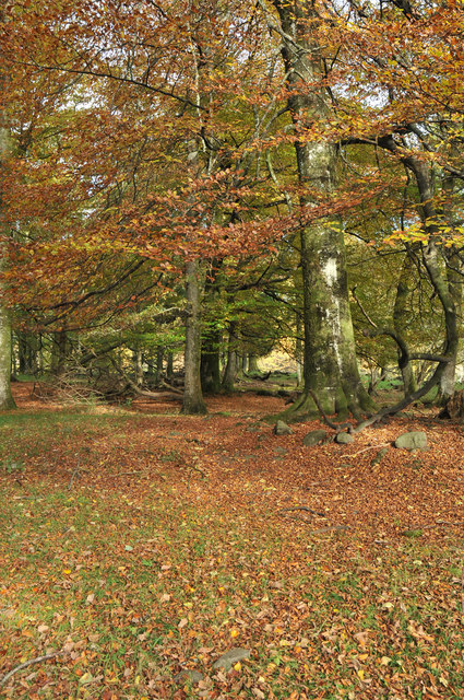
The hill is home to a diverse range of flora and fauna, with heather, grasses, and mosses covering its slopes. Wildlife enthusiasts may spot red deer, mountain hares, and a variety of bird species, including golden eagles and ptarmigans.

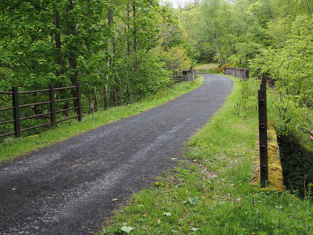
Beinn Bhearnach is easily accessible from the nearby village of Killin, which offers a starting point for various hiking routes leading to the summit. The hill attracts both experienced climbers and casual walkers, with options to choose from depending on fitness levels and time constraints.

With its stunning natural beauty and accessibility, Beinn Bhearnach is a popular destination for outdoor activities, providing visitors with an opportunity to experience the Scottish Highlands and immerse themselves in its rugged charm.

If you have any feedback on the listing, please let us know in the comments section below.

Beinn Bhearnach Images

Images are sourced within 2km of 56.367772/-4.076183 or Grid Reference NN7121. Thanks to Geograph Open Source API. All images are credited.

End of track Shows the last section of the road leading the quarry marked OS maps.
End of track
Shows the last section of the road leading the quarry marked OS maps.
Mor Bheinn (trig point) Looking towards Ben Vorlich from the summit of Mor Bheinn.
Mor Bheinn (trig point)
Looking towards Ben Vorlich from the summit of Mor Bheinn.
Mor Bheinn (trig point) The triangulation pillar on the summit of Mor Bheinn.
Mor Bheinn (trig point)
The triangulation pillar on the summit of Mor Bheinn.
End of track Shows the terrain looking back towards the end of the road shown on the OS maps. The road can be seen as a bulldozed flat area in the centre of the image. South of here is rough ground.
End of track
Shows the terrain looking back towards the end of the road shown on the OS maps. The road can be seen as a bulldozed flat area in the centre of the image. South of here is rough ground.
In the woods Shows the river marked on OS maps and the surrounding terrain. Gives some idea of the route between the roads, marked on OS maps, which end north and south of this point.
In the woods
Shows the river marked on OS maps and the surrounding terrain. Gives some idea of the route between the roads, marked on OS maps, which end north and south of this point.
Woodland, Strathearn A small, mostly beech, wood beside the A85.
Woodland, Strathearn
A small, mostly beech, wood beside the A85.
Mor Bheinn summit towards St Fillans and Loch Earn Heathery north-west side of this Graham, with the Bioran Beag ridge prominent. A day of warm sun and cold easterly wind.
Mor Bheinn summit towards St Fillans and Loch Earn
Heathery north-west side of this Graham, with the Bioran Beag ridge prominent. A day of warm sun and cold easterly wind.
Sunflower - Wet Day Easter Dundurn farm
Sunflower - Wet Day
Easter Dundurn farm
Dundurn Viaduct on the dismantled Comrie to Lochearnhead Railway Three arch viaduct carrying the trackbed of the old Comrie to Lochearnhead railway over the Allt Athailteach. Like many of the bridges and viaducts on this line it is built of mass concrete dressed to look like stone. The line operated from 1901 to 1951 and is now part of a walking and cycling route.
Dundurn Viaduct on the dismantled Comrie to Lochearnhead Railway
Three arch viaduct carrying the trackbed of the old Comrie to Lochearnhead railway over the Allt Athailteach. Like many of the bridges and viaducts on this line it is built of mass concrete dressed to look like stone. The line operated from 1901 to 1951 and is now part of a walking and cycling route.
Bridge on the dismantled Comrie to Lochearnhead Railway One of many small bridges carrying the trackbed over burns on this line. Built of mass concrete dressed to look like stone - apparently this was fashionable in the 1890s. River Earn visible in the distance.

The line was closed in 1951 and is now part of a walking and cycling path.
Bridge on the dismantled Comrie to Lochearnhead Railway
One of many small bridges carrying the trackbed over burns on this line. Built of mass concrete dressed to look like stone - apparently this was fashionable in the 1890s. River Earn visible in the distance. The line was closed in 1951 and is now part of a walking and cycling path.
Trackbed of the dismantled Comrie to Lochearnhead Railway Looking east, the parapet of the Dundurn viaduct is visible in the distance.
The line closed in 1951 and the trackbed is part of a walking and cycling path network.
Trackbed of the dismantled Comrie to Lochearnhead Railway
Looking east, the parapet of the Dundurn viaduct is visible in the distance. The line closed in 1951 and the trackbed is part of a walking and cycling path network.
A85 at Tynreoch
A85 at Tynreoch
Small wooded area beside the A85
A85 near Dunira
A85 near Dunira
Large clear felled area near Ben Halton From the heights of Meall Reamhar. Again, these are the ubiquitous spruce trees - coming to maturity.
Large clear felled area near Ben Halton
From the heights of Meall Reamhar. Again, these are the ubiquitous spruce trees - coming to maturity.
Forest clearance on the slopes of Mor Bheinn
Mor Bheinn (640m) and Beinn Bhearnach (604m) Viewed across heather moorland above East Dundurn Wood.  Mor Bheinn is a Graham (Scottish hill between 2000 and 2499 feet above sea level).
Mor Bheinn (640m) and Beinn Bhearnach (604m)
Viewed across heather moorland above East Dundurn Wood. Mor Bheinn is a Graham (Scottish hill between 2000 and 2499 feet above sea level).
Moorland and forest above East Dundurn Wood A branch of the Allt an Tamhaisg stream (a tributary of the River Earn) can be seen in the foreground.
Moorland and forest above East Dundurn Wood
A branch of the Allt an Tamhaisg stream (a tributary of the River Earn) can be seen in the foreground.
Show me another place!

Beinn Bhearnach is located at Grid Ref: NN7121 (Lat: 56.367772, Lng: -4.076183)

Unitary Authority: Perth and Kinross

Police Authority: Tayside

What 3 Words

///save.strength.reworked. Near Comrie, Perth & Kinross

Related Wikis

Dundurn, Scotland

Dundurn is the site of a Pictish hillfort in what is now Strathearn in Perth and Kinross, Scotland. The fort was situated on a hill with the River Earn...

Dalchonzie

Dalchonzie is a place by the river Earn in Perthshire. Buildings there include a country house, a hydro-electric power station and farms. From 1903 to...

Aberuchill Castle

Aberuchill Castle is located 3 kilometres (1.9 mi) west of Comrie in Perthshire, Scotland. It comprises an early 17th-century tower house, which was extended...

Dalchonzie Halt railway station

Dalchonzie Halt railway station, Dalchonzie Platform railway station or Dalchonzie Siding in the Parish of Comrie, Perth and Kinross, Scotland was an intermediate...

Nearby Amenities

Located within 500m of 56.367772,-4.076183
Mòr Bheinn
Corbett: no
Description: Big hill
Ele: 640
Graham: yes
Marilyn: yes
Munro: no
Natural: peak
Prominence: 327
Lat/Long: 56.3663988/-4.0778178
The data included in this document is from www.openstreetmap.org. The data is made available under ODbL.

Have you been to Beinn Bhearnach?

Leave your review of Beinn Bhearnach below (or comments, questions and feedback).