Aish Tor

Hill, Mountain in Devon Teignbridge

England

Aish Tor

Old Boundary Marker between Venford Reservoir dam and Holne, Holne parish Estate Boundary Marker for a water provider on the southwest side of the road between Venford Reservoir dam and Holne. Holne parish. R D / H on one face signifies Richard Dawson of Holne who signed over a parcel of land on Dartmoor to P U D C (Paignton Urban District Council) on the opposite face in c1907 to allow the building of Venford Reservoir, which still serves Paignton, Torquay and Widecombe.

Milestone Society National ID: DV_PUDC02em
Old Boundary Marker between Venford Reservoir dam and Holne, Holne parish Credit: A Rosevear

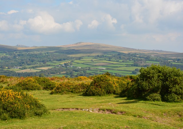
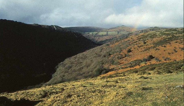
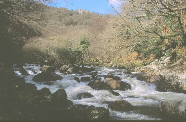
Aish Tor is a prominent hill located in the county of Devon, England. Standing at an elevation of approximately 266 meters (873 feet), it is considered one of the notable landmarks in the region. Situated near the village of South Brent, Aish Tor offers breathtaking panoramic views of the surrounding countryside.

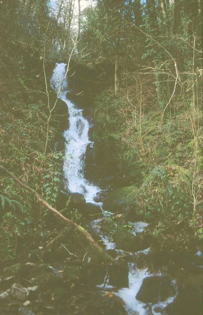
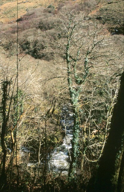
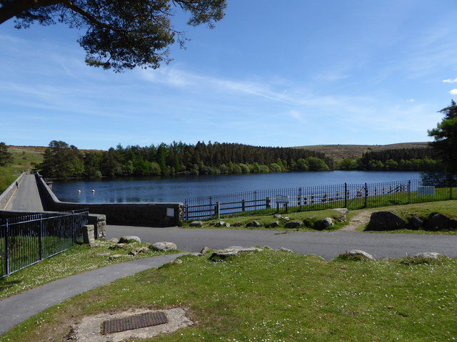
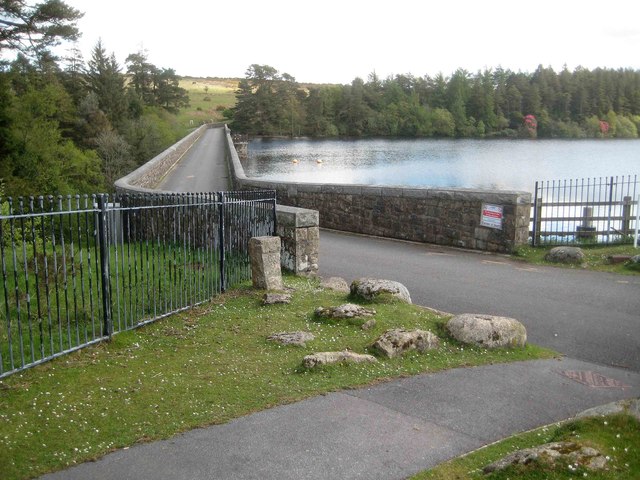
This hill is primarily composed of granite, which gives it a distinctive appearance and contributes to its significance in geological studies. It is part of the Dartmoor National Park, a protected area known for its diverse landscapes and rich cultural heritage.

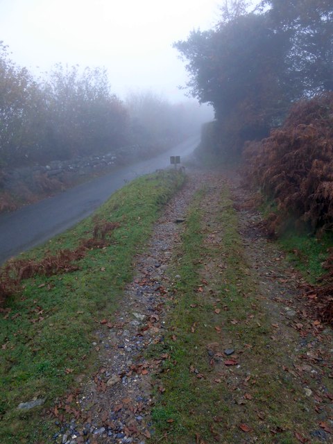
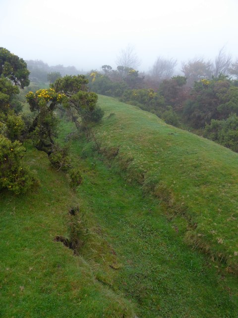
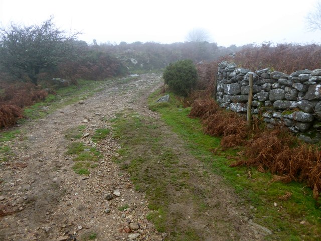
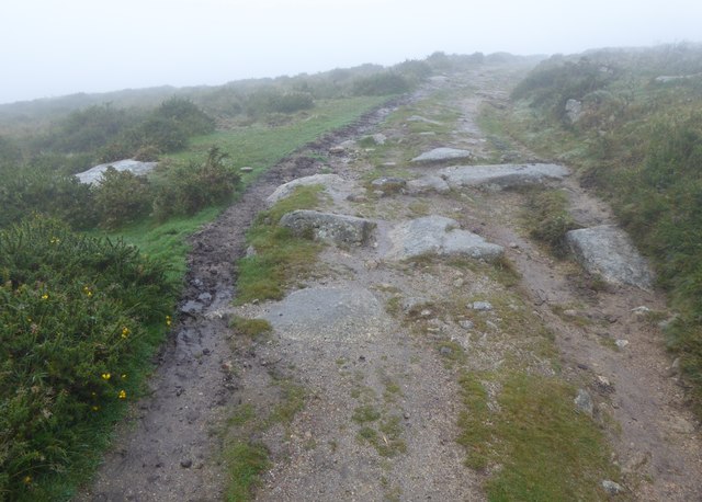
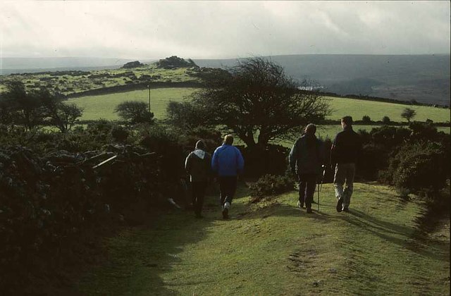
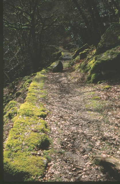
Aish Tor is a popular destination for hikers, nature enthusiasts, and photographers. The hill is accessible via a network of footpaths and trails, providing visitors with the opportunity to explore its natural beauty. The summit offers stunning vistas of the rolling hills, green valleys, and scattered woodlands of the area, making it an ideal spot for picnics or simply enjoying the serenity of the countryside.

The hill is home to a variety of flora and fauna, with heather, gorse, and bracken covering its slopes. It is also frequented by birdwatchers, as several species such as skylarks and stonechats can be spotted in the area.

Overall, Aish Tor is a picturesque hill in Devon, offering visitors a chance to immerse themselves in the stunning natural beauty and tranquility of the surrounding landscape while also serving as an important geological and ecological site.

If you have any feedback on the listing, please let us know in the comments section below.
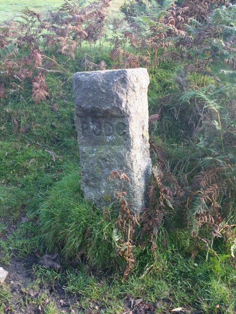
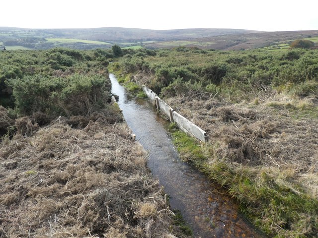
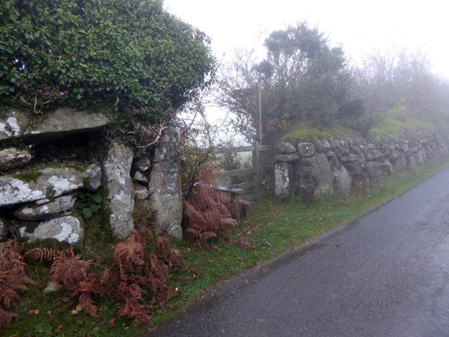
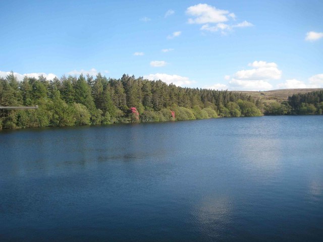
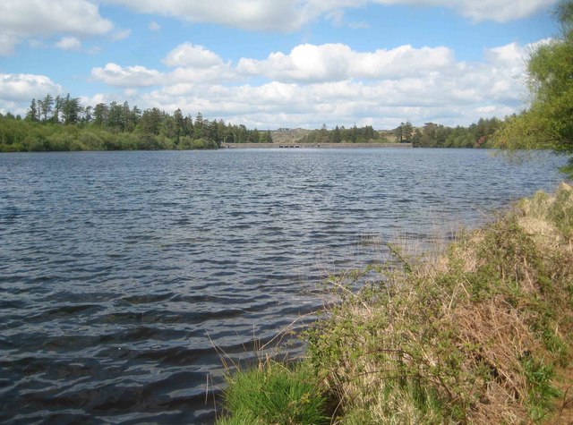
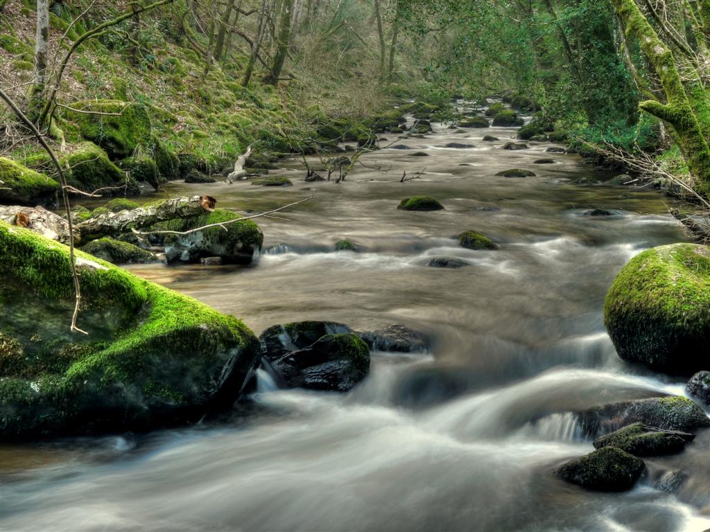
Aish Tor Images

Images are sourced within 2km of 50.528987/-3.8318424 or Grid Reference SX7071. Thanks to Geograph Open Source API. All images are credited.

Old Boundary Marker between Venford Reservoir dam and Holne, Holne parish Estate Boundary Marker for a water provider on the southwest side of the road between Venford Reservoir dam and Holne. Holne parish. R D / H on one face signifies Richard Dawson of Holne who signed over a parcel of land on Dartmoor to P U D C (Paignton Urban District Council) on the opposite face in c1907 to allow the building of Venford Reservoir, which still serves Paignton, Torquay and Widecombe.

Milestone Society National ID: DV_PUDC02em
Old Boundary Marker between Venford Reservoir dam and Holne, Holne parish
Estate Boundary Marker for a water provider on the southwest side of the road between Venford Reservoir dam and Holne. Holne parish. R D / H on one face signifies Richard Dawson of Holne who signed over a parcel of land on Dartmoor to P U D C (Paignton Urban District Council) on the opposite face in c1907 to allow the building of Venford Reservoir, which still serves Paignton, Torquay and Widecombe. Milestone Society National ID: DV_PUDC02em
Holne Moor Leat
Holne Moor Leat
Sherbeton Common, Dartmoor, Devon
Stile and gate at the start of a footpath to Ponsworthy From one of the minor roads on Bel Tor; the walls are granite
Stile and gate at the start of a footpath to Ponsworthy
From one of the minor roads on Bel Tor; the walls are granite
Track in the mist on Sherberton Common A track onto the common land from a minor road north-east of Bel Tor
Track in the mist on Sherberton Common
A track onto the common land from a minor road north-east of Bel Tor
Ditch and earth wall on Mel Tor The Two Moors Way runs beside this feature on the moor <a href="https://www.geograph.org.uk/photo/1542980">SX6972 : Two Moors Way, Mel Tor</a>
Ditch and earth wall on Mel Tor
The Two Moors Way runs beside this feature on the moor SX6972 : Two Moors Way, Mel Tor
Two Moors Way in the mist on Mel Tor
Two Moors Way on Dr Blackall's Drive in the mist The "Drive" is often rough, with rocky outcrops
Two Moors Way on Dr Blackall's Drive in the mist
The "Drive" is often rough, with rocky outcrops
Two Moors Way near Bel Tor, 2001 A party of walkers sets off for Dr Blackall's Drive and the two Moors Way to Holne. Mel Tor is visible ahead, and the gleam across the Dart valley is Venford Reservoir.
Two Moors Way near Bel Tor, 2001
A party of walkers sets off for Dr Blackall's Drive and the two Moors Way to Holne. Mel Tor is visible ahead, and the gleam across the Dart valley is Venford Reservoir.
Meltor Wood, 2001 Low trees on the steep side of the Dart valley, seen from the Two Moors Way following Dr Blackall's Drive. The rainbow is between Sharp Tor and Mel Tor; on the opposite side are crags at Bench Tor.
Meltor Wood, 2001
Low trees on the steep side of the Dart valley, seen from the Two Moors Way following Dr Blackall's Drive. The rainbow is between Sharp Tor and Mel Tor; on the opposite side are crags at Bench Tor.
Cascade through Holne Woods, 2000 The waterfall is also shown at <a title="https://www.geograph.org.uk/gridref/SX6970?centi=SX698708" href="https://www.geograph.org.uk/gridref/SX6970?centi=SX698708">Link</a> . Not a lot of change over the years, apart from the movement of tree branches down the slope.
Cascade through Holne Woods, 2000
The waterfall is also shown at Link . Not a lot of change over the years, apart from the movement of tree branches down the slope.
Dart at Bellpool Island, 2000 Two branches of the rushing river join up again at the tip of one of the islands along this stretch seen from a woodland path through Ford's Newtake. On the other side of the narrow valley, woodland rises to moorland below Aish Tor.
Dart at Bellpool Island, 2000
Two branches of the rushing river join up again at the tip of one of the islands along this stretch seen from a woodland path through Ford's Newtake. On the other side of the narrow valley, woodland rises to moorland below Aish Tor.
River Dart near Hockingston Marsh, 2000 Looking up the river above Sharrah Pool. The Dart has just curved around the side of Hockingston Marsh, so the northern portion of Bench Tor above is on the same side as the camera. Below the tor is White Wood.
River Dart near Hockingston Marsh, 2000
Looking up the river above Sharrah Pool. The Dart has just curved around the side of Hockingston Marsh, so the northern portion of Bench Tor above is on the same side as the camera. Below the tor is White Wood.
Venford Reservoir on Dartmoor
Holne: Venford Reservoir Dam Venford Reservoir was completed in 1907 by the construction of this dam across Venford Brook. The dam also includes the road between Holne and Hexworthy. Old large scale Ordnance Survey maps show that the road originally ran along a route further to the south-west and further upstream along the brook, crossing it at Venford Bridge. This location is now submerged beneath the reservoir.
Holne: Venford Reservoir Dam
Venford Reservoir was completed in 1907 by the construction of this dam across Venford Brook. The dam also includes the road between Holne and Hexworthy. Old large scale Ordnance Survey maps show that the road originally ran along a route further to the south-west and further upstream along the brook, crossing it at Venford Bridge. This location is now submerged beneath the reservoir.
Holne: Venford Reservoir The Reservoir was completed in 1907 by the construction of a dam across the valley of Venford Brook. This view was taken from the centre of the dam, showing a couple of flowering rhododendron bushes on the lakeside.
Holne: Venford Reservoir
The Reservoir was completed in 1907 by the construction of a dam across the valley of Venford Brook. This view was taken from the centre of the dam, showing a couple of flowering rhododendron bushes on the lakeside.
Holne: Venford Reservoir Venford Reservoir was completed in 1907 by the construction of the distant dam across Venford Brook. The dam also includes the road between Holne and Hexworthy. Old large scale Ordnance Survey maps show that the road originally ran along a route further to the south-west and further upstream along the brook, crossing it at Venford Bridge. This location is now submerged somewhere beneath the reservoir in this view.
Holne: Venford Reservoir
Venford Reservoir was completed in 1907 by the construction of the distant dam across Venford Brook. The dam also includes the road between Holne and Hexworthy. Old large scale Ordnance Survey maps show that the road originally ran along a route further to the south-west and further upstream along the brook, crossing it at Venford Bridge. This location is now submerged somewhere beneath the reservoir in this view.
Show me another place!

Aish Tor is located at Grid Ref: SX7071 (Lat: 50.528987, Lng: -3.8318424)

Administrative County: Devon

District: Teignbridge

Police Authority: Devon and Cornwall

What 3 Words

///botanists.upstarts.pixies. Near Ashburton, Devon

Nearby Locations

Aish Tor

Related Wikis

Aish Tor

Aish Tor is a small tor above the northern side of the Dart Gorge in Dartmoor, Devon, England, that is accessed by Dr. Blackall's Drive from Newbridge...

Dr Blackall's Drive

Dr Blackall's Drive is a track built along the hill above the River Dart, near the hamlet of Poundsgate, in the parish of Widecombe-in-the-Moor, Devon...

Poundsgate

Poundsgate is a small village in Dartmoor, Devon, England, located on the road between Ashburton and Princetown. The postal area of "Poundsgate" is a wide...

Newbridge, River Dart

Newbridge or New Bridge is a Grade II* listed medieval bridge over the River Dart, Dartmoor, Devon, England. It is on the road between Ashburton and Two...

West Webburn River

The West Webburn is a stream on Dartmoor in Devon in south-west England. It rises on the eastern side of the moors flowing off the east side of Hameldown...

Leusdon

Leusdon is a parish in the southern part of Dartmoor in the county of Devon, UK. It is near Poundsgate and Ponsworthy. The village church is St John the...

Holne

Holne is a village and civil parish on the southeastern slopes of Dartmoor in Devon, England. A community has existed here since at least the 11th century...

Holne Chase Castle

Holne Chase Castle is an Iron Age hill fort situated close to Buckland-in-the-Moor in Devon, England. The fort is situated on a promontory on the Northern...

Nearby Amenities

Located within 500m of 50.528987,-3.8318424
Aish Tor
Natural: peak
Wikidata: Q30674667
Wikipedia: en:Aish Tor
Lat/Long: 50.5290328/-3.8319141
Brake Corner
Source: OS StreetView
Lat/Long: 50.52996/-3.832539
The data included in this document is from www.openstreetmap.org. The data is made available under ODbL.

Have you been to Aish Tor?

Leave your review of Aish Tor below (or comments, questions and feedback).