Wether Hill
Hill, Mountain in Kirkcudbrightshire
Scotland
Wether Hill
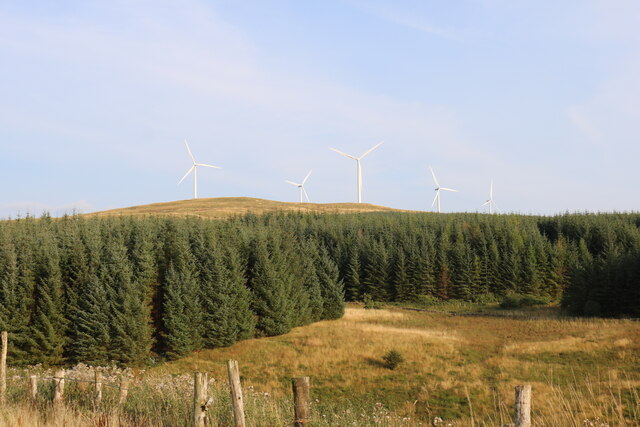
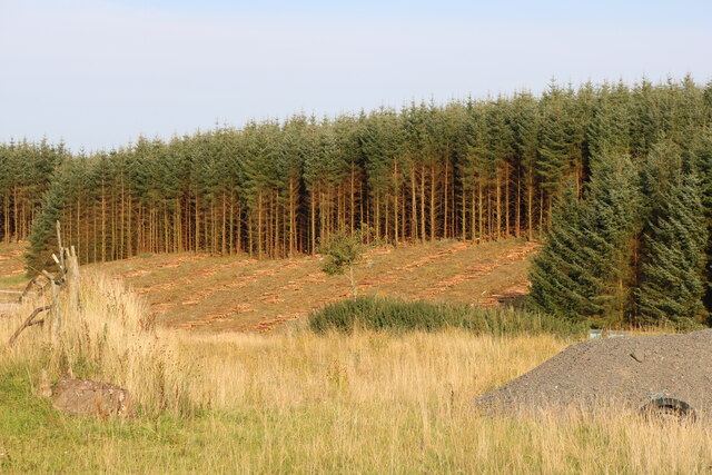
Wether Hill is a prominent hill located in Kirkcudbrightshire, a historic county in the southwest of Scotland. It is situated within the sprawling Galloway Forest Park, which covers an area of approximately 300 square miles. With an elevation of 804 meters (2,638 feet), Wether Hill stands as one of the highest peaks in the Southern Uplands range.
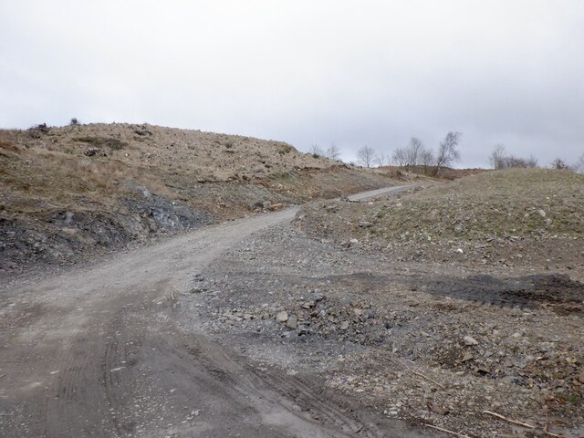
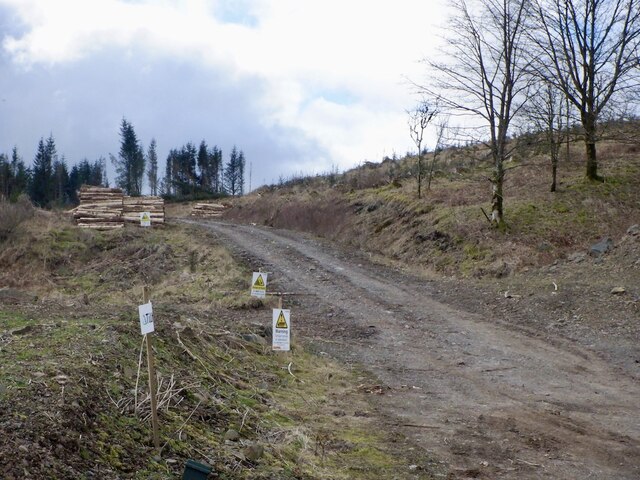
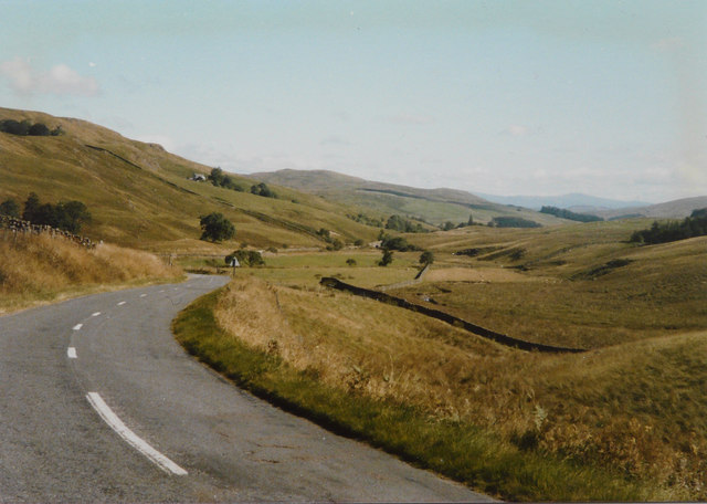
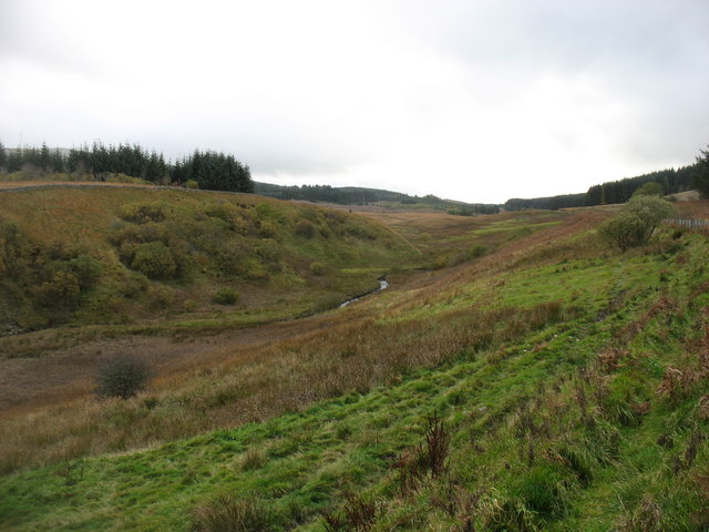
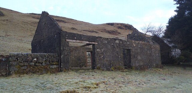
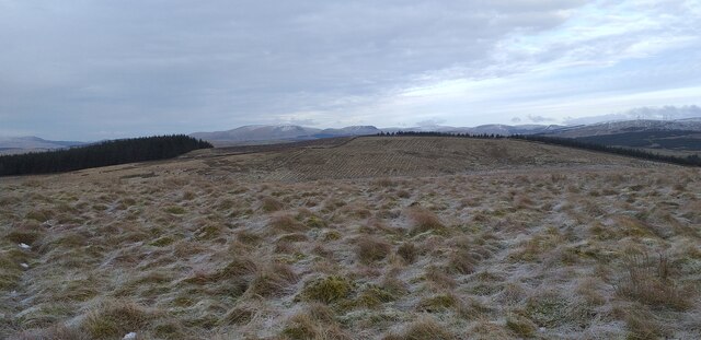
The hill is a popular destination for outdoor enthusiasts, particularly hikers and walkers, who are drawn to its rugged beauty and commanding views over the surrounding landscape. The ascent to the summit is challenging but rewarding, with well-defined paths leading through heather-clad slopes and rocky terrain. On a clear day, visitors can enjoy panoramic vistas that stretch across the rolling hills and glens of Kirkcudbrightshire, as well as the distant peaks of the Galloway Hills and even the Irish Sea.
Wether Hill forms part of a ridge that includes other notable peaks such as Millfore and Cairnsmore of Carsphairn, creating a picturesque backdrop for the nearby Loch Doon. The area is rich in wildlife, and those exploring the hill may encounter various bird species, including golden eagles and peregrine falcons, as well as red deer and other mammals.
Visiting Wether Hill offers a chance to immerse oneself in the natural beauty and tranquility of the Scottish countryside. Whether seeking a challenging hike or simply a place to enjoy the breathtaking scenery, this hill in Kirkcudbrightshire promises a memorable experience for all who venture to its summit.
If you have any feedback on the listing, please let us know in the comments section below.
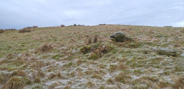
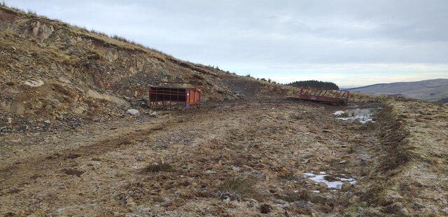
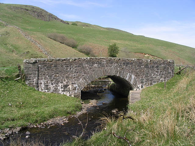
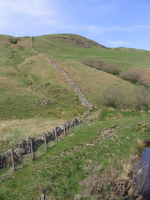
Wether Hill Images
Images are sourced within 2km of 55.163015/-4.038251 or Grid Reference NX7087. Thanks to Geograph Open Source API. All images are credited.


Wether Hill is located at Grid Ref: NX7087 (Lat: 55.163015, Lng: -4.038251)
Unitary Authority: Dumfries and Galloway
Police Authority: Dumfries and Galloway
What 3 Words
///result.magazines.expansion. Near Thornhill, Dumfries & Galloway
Nearby Locations
Related Wikis

Loch Skae
Loch Skae is a small, upland freshwater loch to the north of Blackcraig Hill, approximately 18 miles (29 km) west of Dumfries, Scotland, 0.5 mi (0.80 km...

Loch Howie
Loch Howie is a small, narrow, upland freshwater loch on the north side of Blackcraig Hill, approximately 18 miles (29 km) west of Dumfries, Scotland....

Lochinvar
Lochinvar (or Lan Var) is a loch in the civil parish of Dalry in the historic county of Kirkcudbrightshire, Dumfries and Galloway Scotland. It is located...

Craigdarroch
"Craigdarroch, An Accessory to Murder" is an expansion set for the board game Kill Doctor Lucky Craigdarroch is a house near Moniaive, Dumfries and Galloway...
Nearby Amenities
Located within 500m of 55.163015,-4.038251Have you been to Wether Hill?
Leave your review of Wether Hill below (or comments, questions and feedback).