Barlay Hill
Hill, Mountain in Kirkcudbrightshire
Scotland
Barlay Hill

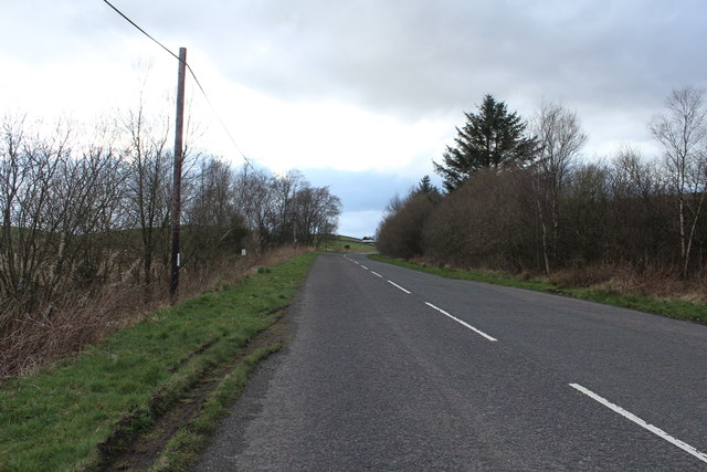
Barlay Hill is a prominent feature located in the region of Kirkcudbrightshire in southwest Scotland. Rising to an elevation of 293 meters (961 feet), it is classified as a hill rather than a mountain. Situated near the village of Parton, Barlay Hill offers stunning panoramic views of the surrounding countryside, including the rolling hills, verdant fields, and the sparkling waters of the nearby River Dee.
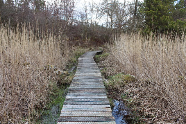
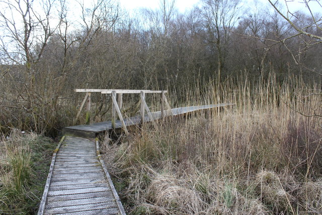
The hill is covered in a mixture of grasses, heather, and patches of woodland, creating a diverse and picturesque landscape. It is a popular destination for hikers and nature enthusiasts, who can enjoy various walking trails that wind their way up the hill, offering breathtaking vistas and opportunities for wildlife spotting.
Barlay Hill is also home to a variety of flora and fauna. The heather-covered slopes attract numerous bird species, including skylarks, meadow pipits, and stonechats. The woodland areas provide a habitat for small mammals such as red squirrels and voles.
At the summit of Barlay Hill, there is a cairn, a man-made pile of stones, which serves as a marker and adds historical interest to the site. It is believed to have been constructed in ancient times, possibly as a boundary marker or a navigational aid.
Overall, Barlay Hill is a natural gem in the heart of Kirkcudbrightshire, offering visitors the chance to immerse themselves in the beauty and tranquility of the Scottish countryside while enjoying breathtaking views and diverse wildlife.
If you have any feedback on the listing, please let us know in the comments section below.
Barlay Hill Images
Images are sourced within 2km of 55.080375/-4.0374758 or Grid Reference NX7078. Thanks to Geograph Open Source API. All images are credited.


Barlay Hill is located at Grid Ref: NX7078 (Lat: 55.080375, Lng: -4.0374758)
Unitary Authority: Dumfries and Galloway
Police Authority: Dumfries and Galloway
What 3 Words
///booklets.novelists.closet. Near Castle Douglas, Dumfries & Galloway
Nearby Locations
Related Wikis

Ironmacannie Mill
Ironmacannie Mill is a historic watermill near Balmaclellan in Dumfries and Galloway, Scotland. Built in the 18th and 19th centuries, on the site of an...

Barscobe Castle
Barscobe Castle is a 17th-century tower house in Balmaclellan, Kirkcudbrightshire, Scotland. It is a typical house of a country laird, and according to...

Balmaclellan
Balmaclellan (Scottish Gaelic: Baile Mac-a-ghille-dhiolan, meaning town of the MacLellans) is a small hillside village of stone houses with slate roofs...

Loch Howie
Loch Howie is a small, narrow, upland freshwater loch on the north side of Blackcraig Hill, approximately 18 miles (29 km) west of Dumfries, Scotland....

Loch Skae
Loch Skae is a small, upland freshwater loch to the north of Blackcraig Hill, approximately 18 miles (29 km) west of Dumfries, Scotland, 0.5 mi (0.80 km...

Ken Bridge
The Ken Bridge is a road bridge about 0.8 kilometres (0.5 mi) north east of New Galloway in Dumfries and Galloway, Scotland, which carries the A712 road...

Corsock
Corsock (Scottish Gaelic: Corsag) is a village in the historical county of Kirkcudbrightshire, Dumfries and Galloway, south-west Scotland. It is located...

New Galloway
New Galloway (Scottish Gaelic: Gall-Ghàidhealaibh Nuadh) is a town in the historical county of Kirkcudbrightshire in Dumfries and Galloway. It lies on...
Nearby Amenities
Located within 500m of 55.080375,-4.0374758Have you been to Barlay Hill?
Leave your review of Barlay Hill below (or comments, questions and feedback).