France Hill
Hill, Mountain in Devon West Devon
England
France Hill
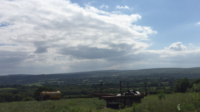
France Hill is a prominent hill located in the county of Devon, England. Situated near the village of Camels Head, France Hill is a popular destination for outdoor enthusiasts and nature lovers. Rising to an elevation of approximately 213 meters (699 feet), it offers stunning panoramic views of the surrounding countryside.
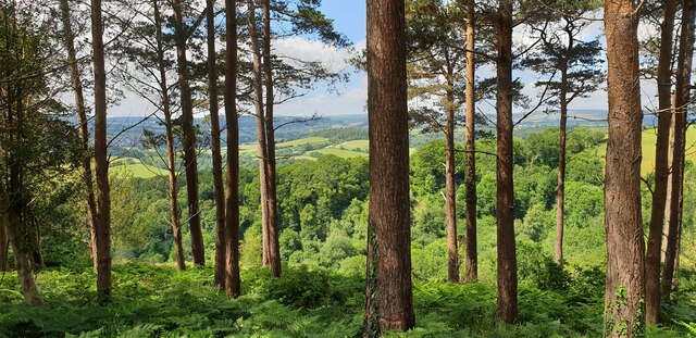
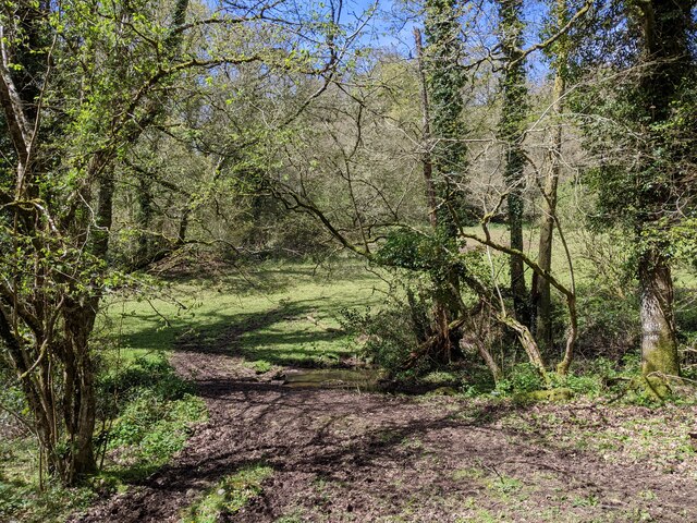
The hill is characterized by its gentle slopes, covered with lush greenery and a variety of trees, including oak, beech, and pine. Its fertile soil supports an abundance of wildflowers and wildlife, making it an ideal habitat for numerous species of birds, mammals, and insects.
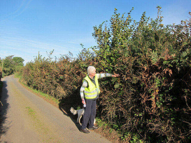
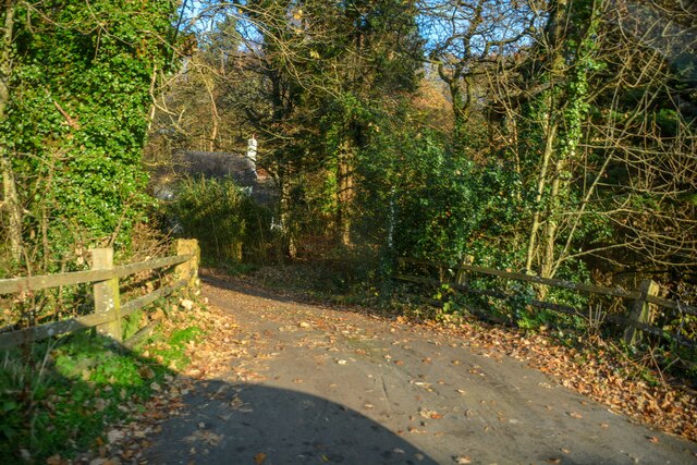
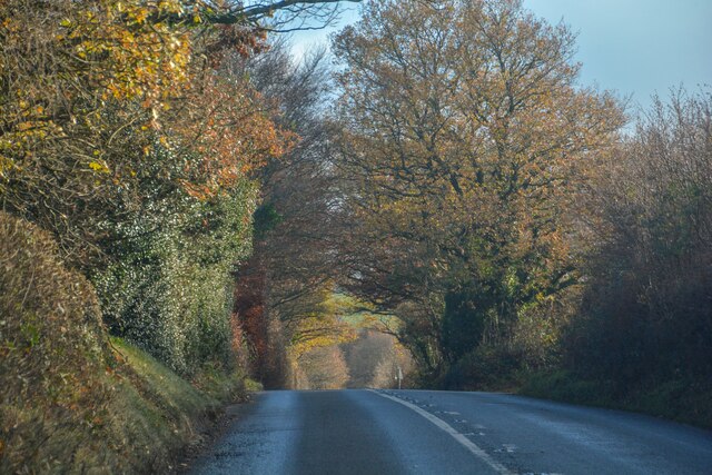
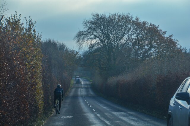
France Hill is accessible via a network of well-maintained footpaths, which provide opportunities for hiking, walking, and cycling. The paths wind through the hill's enchanting woodland, leading visitors to its summit, where they can enjoy breathtaking vistas of the nearby Dartmoor National Park, the rolling hills of Devon, and the picturesque River Tamar.
Besides its natural beauty, France Hill also holds historical significance. It is believed to have been named after a French naval officer who landed on the hill during the Napoleonic Wars. The area has witnessed various archaeological finds, including prehistoric artifacts, indicating human habitation in ancient times.
Overall, France Hill in Devon offers a peaceful and idyllic retreat for those seeking to immerse themselves in nature, indulge in outdoor activities, or simply enjoy the tranquil beauty of the English countryside.
If you have any feedback on the listing, please let us know in the comments section below.
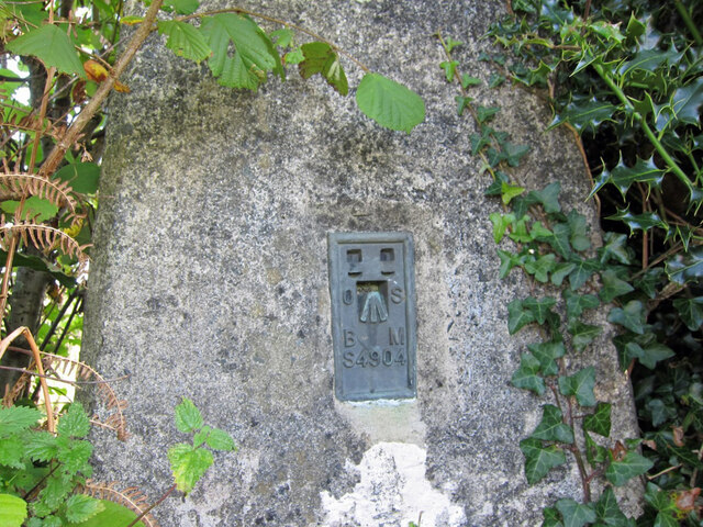
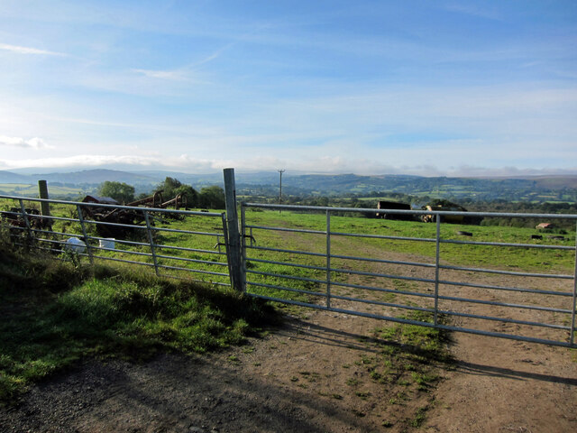
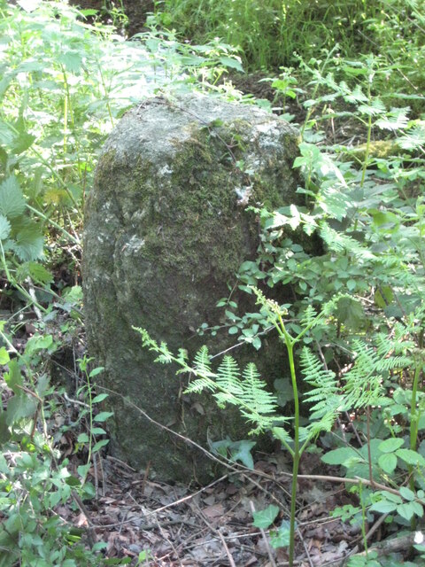
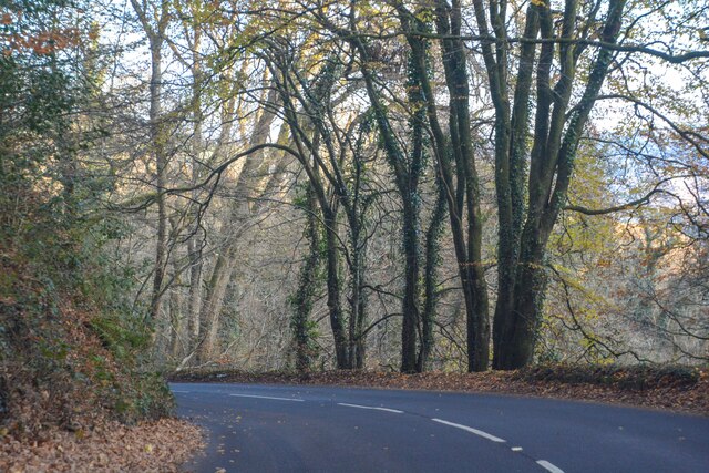
France Hill Images
Images are sourced within 2km of 50.700608/-3.8419785 or Grid Reference SX7090. Thanks to Geograph Open Source API. All images are credited.


France Hill is located at Grid Ref: SX7090 (Lat: 50.700608, Lng: -3.8419785)
Administrative County: Devon
District: West Devon
Police Authority: Devon and Cornwall
What 3 Words
///pesky.booms.unwraps. Near Chagford, Devon
Nearby Locations
Related Wikis

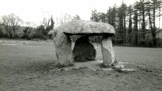
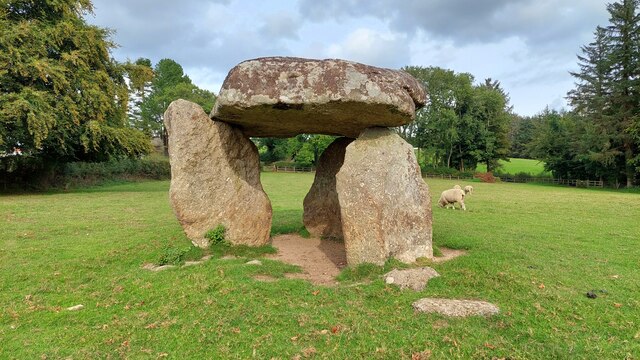
Spinsters' Rock
Spinsters' Rock (grid reference SX701907) is a Neolithic dolmen near Drewsteignton in Devon. It is situated on Shilstone Farm west of the village. It...

Whiddon Down
Whiddon Down is a hamlet within the parish of Drewsteignton in Devon. == Location == The hamlet lies on the old east–west A30 (London-Penzance) road, between...

Castle Drogo
Castle Drogo is a country house and mixed-revivalist castle near Drewsteignton, Devon, England. Constructed between 1911 and 1930, it was the last castle...

Throwleigh
Throwleigh () is a village and civil parish located 3 miles from Chagford and 6 miles from Okehampton, in the West Devon district, in the county of Devon...
Nearby Amenities
Located within 500m of 50.700608,-3.8419785Have you been to France Hill?
Leave your review of France Hill below (or comments, questions and feedback).