Beinn Dearg

Hill, Mountain in Perthshire

Scotland

Beinn Dearg

End of track Shows the last section of the road leading the quarry marked OS maps.
End of track Credit: AllanKnaik

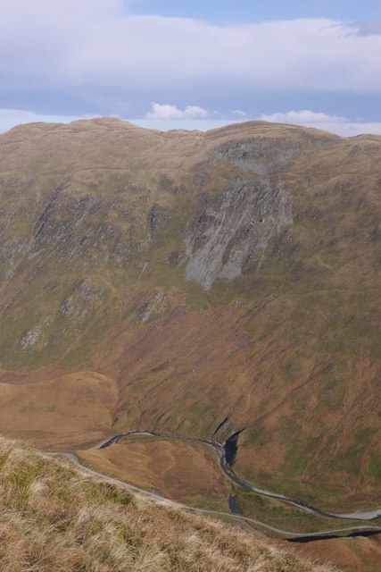
Beinn Dearg is a prominent hill located in Perthshire, Scotland. Standing at an elevation of 1,008 meters (3,307 feet), it is considered one of the highest peaks in the region. The hill is part of the Grampian Mountains, which stretch across the central and eastern parts of Scotland.

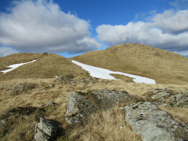
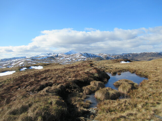
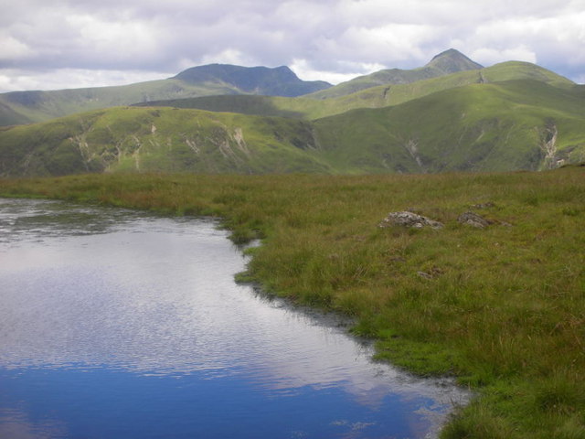
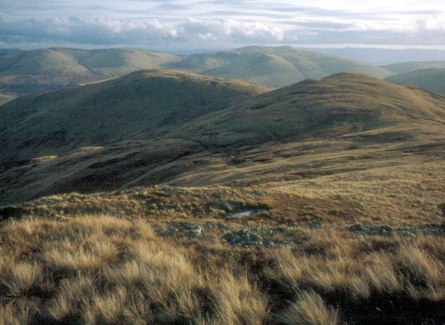
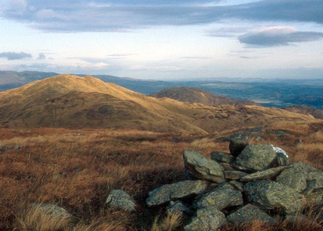
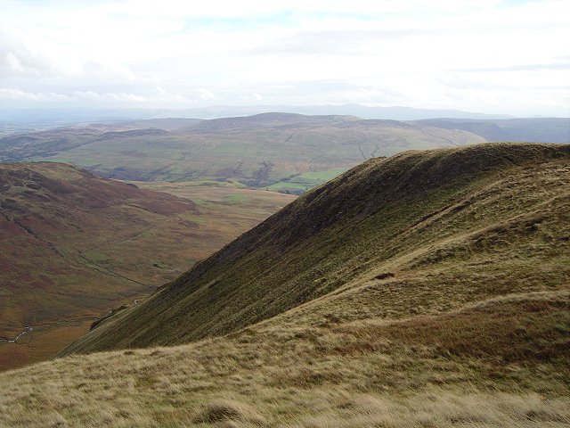
Beinn Dearg is renowned for its breathtaking natural beauty, attracting outdoor enthusiasts, hikers, and climbers from all over. The hill boasts a distinctive reddish color, particularly visible in certain lighting conditions, which adds to its allure. This reddish hue is a result of the presence of iron oxide in the rock formations.

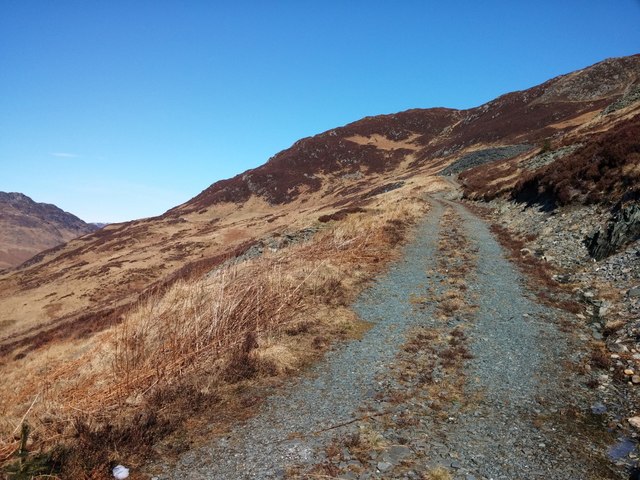
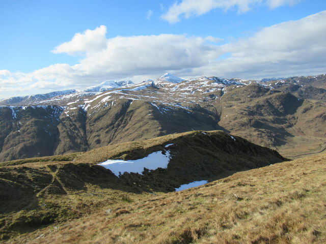
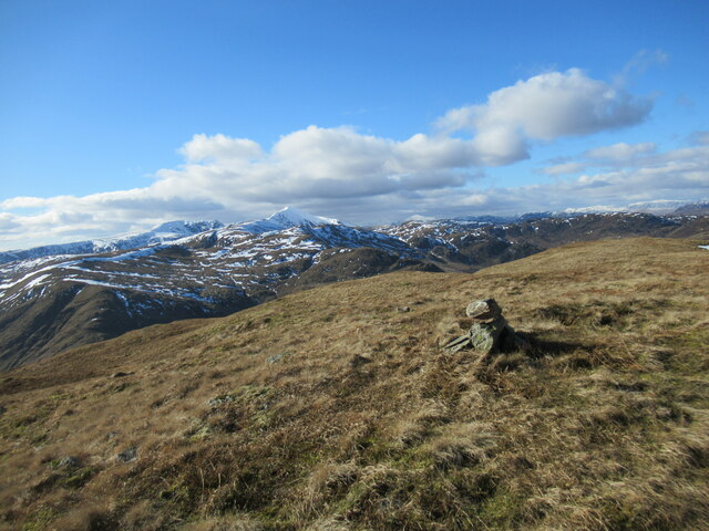
The hill offers a variety of routes for hikers of different skill levels, catering to both beginners and experienced climbers. The most popular route starts at the village of Blair Atholl, where a well-marked path leads visitors through dense forests and open moorland. As hikers ascend, they are rewarded with stunning panoramic views of the surrounding countryside, including the picturesque Loch Rannoch and the Cairngorms National Park.

Wildlife enthusiasts will also find Beinn Dearg an appealing destination, as the hill is home to a variety of fauna. Red deer, golden eagles, ptarmigans, and mountain hares are among the creatures that can be spotted in the area.

Overall, Beinn Dearg in Perthshire offers a challenging yet rewarding experience for those seeking to immerse themselves in Scotland's natural beauty. With its striking reddish color, diverse wildlife, and stunning vistas, it is no wonder that this hill is a popular destination for outdoor enthusiasts.

If you have any feedback on the listing, please let us know in the comments section below.
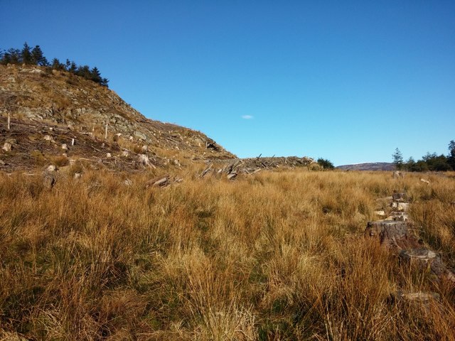
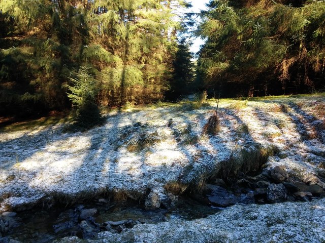
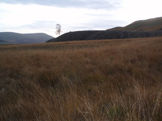
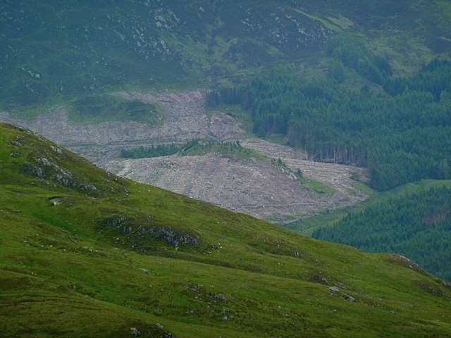
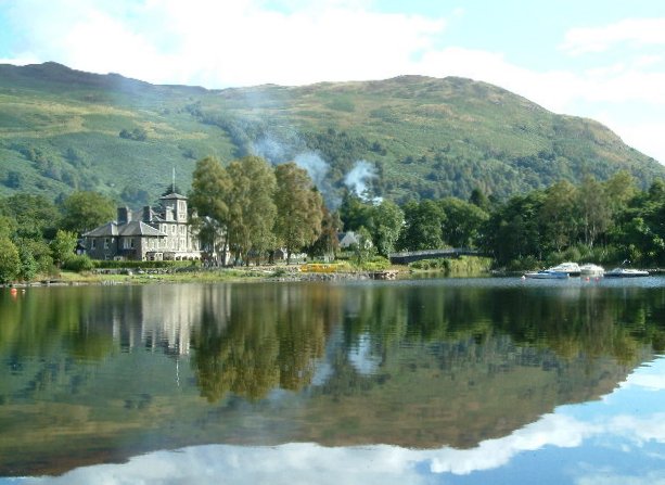
Beinn Dearg Images

Images are sourced within 2km of 56.35211/-4.1106473 or Grid Reference NN6919. Thanks to Geograph Open Source API. All images are credited.

End of track Shows the last section of the road leading the quarry marked OS maps.
End of track
Shows the last section of the road leading the quarry marked OS maps.
Sròn nam Broighleag One of a succession of lumps and bumps at the western end of the Beinn Dearg in Glen Artney, Sròn nam Broighleag translates from Gaelic as 'nose (or promontory) of the blaeberries'.
Sròn nam Broighleag
One of a succession of lumps and bumps at the western end of the Beinn Dearg in Glen Artney, Sròn nam Broighleag translates from Gaelic as 'nose (or promontory) of the blaeberries'.
Spur leading off Sròn na Broighleag Sròn na Broighleag translates from Gaelic as 'nose (or promontory) of the blaeberries.

The snowy peak of Ben Vorlich is prominent in the distance.
Spur leading off Sròn na Broighleag
Sròn na Broighleag translates from Gaelic as 'nose (or promontory) of the blaeberries. The snowy peak of Ben Vorlich is prominent in the distance.
Western top of Beinn Dearg A resurvey carried out in the last few years has concluded that this is actually the highest point on Beinn Dearg, rather than the top to the north-east as previously thought. This is, therefore, the Graham summit.
Western top of Beinn Dearg
A resurvey carried out in the last few years has concluded that this is actually the highest point on Beinn Dearg, rather than the top to the north-east as previously thought. This is, therefore, the Graham summit.
Part-frozen bog pool near the summit of Beinn Dearg The snowy peak of Ben Vorlich is prominent in the distance.
Part-frozen bog pool near the summit of Beinn Dearg
The snowy peak of Ben Vorlich is prominent in the distance.
High lochan above Glen Artney This lochan is situated near the summit of Beinn Dearg and Stuc a'Chroin and Ben Vorlich can be seen in the background.
High lochan above Glen Artney
This lochan is situated near the summit of Beinn Dearg and Stuc a'Chroin and Ben Vorlich can be seen in the background.
Bealach na Moine in the Forest of Glenartney Grassy hills flank the glen on both sides
Bealach na Moine in the Forest of Glenartney
Grassy hills flank the glen on both sides
On the western part of Beinn Dearg Ben Halton and Strathearn lie beyond
On the western part of Beinn Dearg
Ben Halton and Strathearn lie beyond
End of track Shows the terrain looking back towards the end of the road shown on the OS maps. The road can be seen as a bulldozed flat area in the centre of the image. South of here is rough ground.
End of track
Shows the terrain looking back towards the end of the road shown on the OS maps. The road can be seen as a bulldozed flat area in the centre of the image. South of here is rough ground.
In the woods Shows the river marked on OS maps and the surrounding terrain. Gives some idea of the route between the roads, marked on OS maps, which end north and south of this point.
In the woods
Shows the river marked on OS maps and the surrounding terrain. Gives some idea of the route between the roads, marked on OS maps, which end north and south of this point.
Beinn Dearg: Sròn na Broigleag Looking over the deep Srath a' Ghlinne to the higher Beinn Dearg summit and the top to its south, Sròn na Broigleag.
Beinn Dearg: Sròn na Broigleag
Looking over the deep Srath a' Ghlinne to the higher Beinn Dearg summit and the top to its south, Sròn na Broigleag.
Disused Tip Spoil from one of the old slate quarries on the north side of Glen Artney. A solitary tree is managing to eke out an existence on the tip.
Disused Tip
Spoil from one of the old slate quarries on the north side of Glen Artney. A solitary tree is managing to eke out an existence on the tip.
Autumnal Hillside Not only are the russet colours of the grass a clue to the season but the rut was in full swing in the glen of the Allt Glas above Glen Artney - it was a very noisy place to be!
Autumnal Hillside
Not only are the russet colours of the grass a clue to the season but the rut was in full swing in the glen of the Allt Glas above Glen Artney - it was a very noisy place to be!
Stob nan Uan Top of the southeast ridge of Beinn Dearg. No peat here.
Stob nan Uan
Top of the southeast ridge of Beinn Dearg. No peat here.
Sròn na Leacainn Small crag at the foot of the broad ridge leading up to the eastern top of Beinn Dearg.
Sròn na Leacainn
Small crag at the foot of the broad ridge leading up to the eastern top of Beinn Dearg.
Slopes of Ben Halton Autumn colours on the slopes of Ben Halton and autumn was even more obvious to the photographer as the sound of rutting stags was everywhere.
Slopes of Ben Halton
Autumn colours on the slopes of Ben Halton and autumn was even more obvious to the photographer as the sound of rutting stags was everywhere.
Large clear felled area near Ben Halton From the heights of Meall Reamhar. Again, these are the ubiquitous spruce trees - coming to maturity.
Large clear felled area near Ben Halton
From the heights of Meall Reamhar. Again, these are the ubiquitous spruce trees - coming to maturity.
Vorlich View A view west from the summit of Graham, Beinn Dearg to Stuc a' Chroin and Ben Vorlich.
Vorlich View
A view west from the summit of Graham, Beinn Dearg to Stuc a' Chroin and Ben Vorlich.
Show me another place!

Beinn Dearg is located at Grid Ref: NN6919 (Lat: 56.35211, Lng: -4.1106473)

Unitary Authority: Perth and Kinross

Police Authority: Tayside

What 3 Words

///crowds.pavement.alleyway. Near Comrie, Perth & Kinross

Related Wikis

Glen Artney

Glen Artney or Glenartney is a valley in Perthshire, Scotland.Several ships have been named Glenartney: SS Glenartney (1869), an iron-hulled steamship...

Dundurn, Scotland

Dundurn is the site of a Pictish hillfort in what is now Strathearn in Perth and Kinross, Scotland. The fort was situated on a hill with the River Earn...

St Fillans

St Fillans is a village in Perthshire in the central highlands of Scotland, in the council area of Perth and Kinross. The village lies at the eastern end...

Neish Island

Neish Island is an island in Loch Earn, Scotland. == History == It is recorded that in 1490 James IV of Scotland ordered Lord Drummond to cast down the...

Nearby Amenities

Located within 500m of 56.35211,-4.1106473
Beinn Dearg
Corbett: no
Description: Red hill
Ele: 706
Graham: yes
Marilyn: yes
Munro: no
Natural: peak
Prominence: 351
Lat/Long: 56.3525146/-4.1099185
The data included in this document is from www.openstreetmap.org. The data is made available under ODbL.

Have you been to Beinn Dearg?

Leave your review of Beinn Dearg below (or comments, questions and feedback).