Hart Hill
Hill, Mountain in Stirlingshire
Scotland
Hart Hill

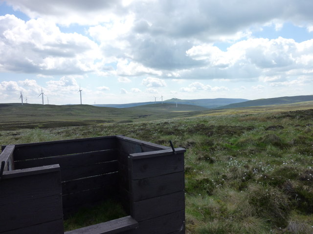
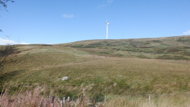
Hart Hill is a prominent hill located in Stirlingshire, Scotland, known for its stunning natural beauty and its historical significance. Standing at an elevation of approximately 522 meters (1,713 feet), it offers breathtaking panoramic views of the surrounding landscape.
Situated within the Loch Lomond and The Trossachs National Park, Hart Hill is encompassed by rolling hills and lush greenery. It is a popular destination for nature enthusiasts, hikers, and hillwalkers due to its accessible location and well-marked trails. The hill offers a variety of walking routes, ranging from gentle strolls to more challenging hikes, catering to all levels of fitness and experience.
In addition to its natural splendor, Hart Hill boasts a rich history. It is believed to have been a significant site during the Iron Age, with remnants of ancient settlements and fortifications discovered in the area. This historical significance adds to the allure of exploring the hill, allowing visitors to immerse themselves in its past while enjoying the present beauty of the landscape.
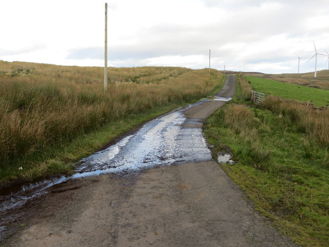
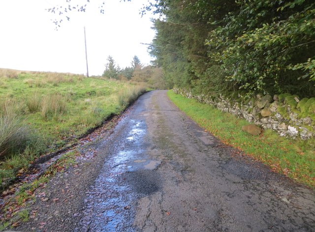
The hill is easily accessible by road, with car parks nearby for visitors. It is also well-connected to the surrounding towns and villages, making it a convenient destination for both locals and tourists. Whether it's admiring the breathtaking views, exploring the historical sites, or simply enjoying a peaceful walk in nature, Hart Hill offers a memorable experience for all who visit.
If you have any feedback on the listing, please let us know in the comments section below.
Hart Hill Images
Images are sourced within 2km of 56.070684/-4.0952985 or Grid Reference NS6988. Thanks to Geograph Open Source API. All images are credited.


Hart Hill is located at Grid Ref: NS6988 (Lat: 56.070684, Lng: -4.0952985)
Unitary Authority: Stirling
Police Authority: Forth Valley
What 3 Words
///guarded.clumped.station. Near Kippen, Stirling
Nearby Locations
Related Wikis

Central 103.1 FM
Central 103.1 FM is an Independent Local Radio station serving Falkirk, Stirling, Clackmannanshire and the Forth Valley. It is owned and operated by businessman...
Stirling Transmitting Station
Stirling Transmitting Station is a transmission facility on Earl's Hill southwest of Stirling, Scotland. It was built at the end of the 1950s for the radio...
Dundaff Castle, Stirling
Dundaff Castle, also known as Sir John de Graham Castle or Graham's Castle, is a ruined 12th century square motte and bailey castle in the Stirling council...

Gargunnock Hills
The Gargunnock Hills are a range of hills west of the city of Stirling, Scotland. They culminate in the peak of Carleatheran, whose 485-metre (1,591 ft...

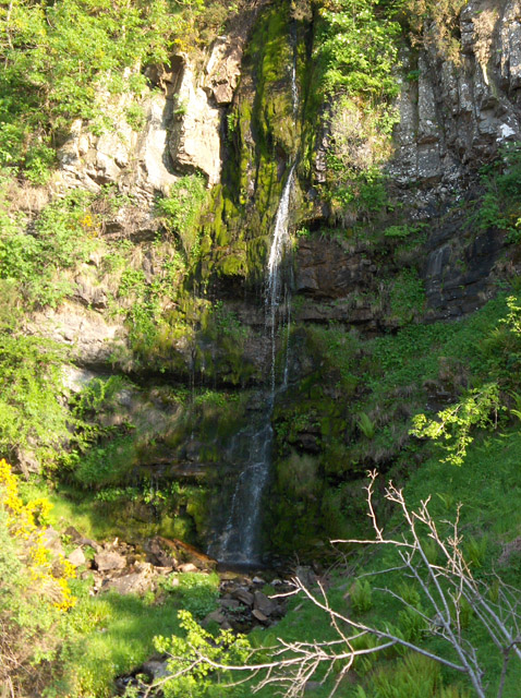
Loup of Fintry
Loup of Fintry is a notable waterfall on the River Endrick around 2 miles to the east of Fintry in Scotland and 17 miles from Stirling, 10 miles from Denny...

Fintry Hills
The Fintry Hills form the western end of a range of hills which stretch west from the city of Stirling, Scotland. They culminate in the 511-metre (1,677...
Downie's Loup
Downie's Loup is a waterfall of Scotland located near the village of Gargunnock. == See also == Waterfalls of Scotland == References ==

Duncarron
Duncarron is a modern reproduction of a fortified village from the early Middle Ages of Scotland. It is the reconstruction of a typical residence of a...
Nearby Amenities
Located within 500m of 56.070684,-4.0952985Have you been to Hart Hill?
Leave your review of Hart Hill below (or comments, questions and feedback).