Moel Dyrnogydd

Hill, Mountain in Caernarfonshire

Wales

Moel Dyrnogydd

A470, Crimea Pass The Crimea Pass (Welsh: Bwlch y Gorddinan) is a mountain pass in North Wales, on the A470 road between Blaenau Ffestiniog and Dolwyddelan. At its highest point, it is 385 metres (1,263 ft) above sea level. It takes its name from the Crimean War which was being fought about the time the road was opened, in 1854.
A470, Crimea Pass Credit: David Dixon

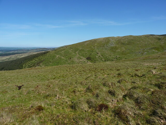
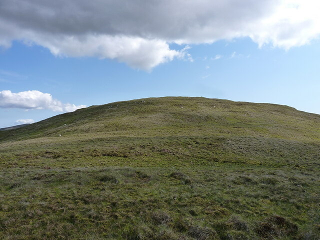
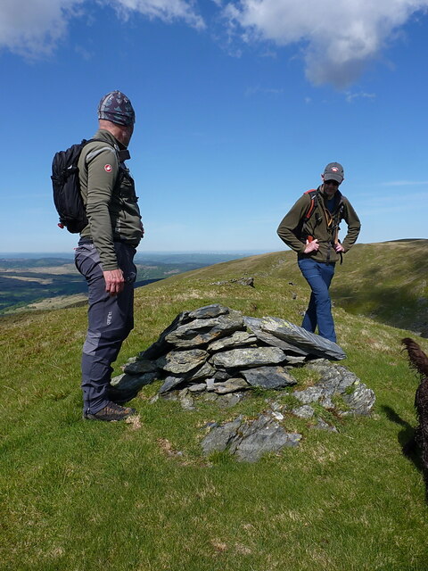
Moel Dyrnogydd is a prominent hill located in the county of Caernarfonshire, Wales. Standing at an elevation of 522 meters (1,713 feet) above sea level, it is classified as a hill rather than a mountain. Despite this, its distinct presence and commanding views make it a popular destination for hikers and outdoor enthusiasts.

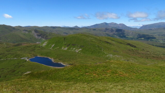
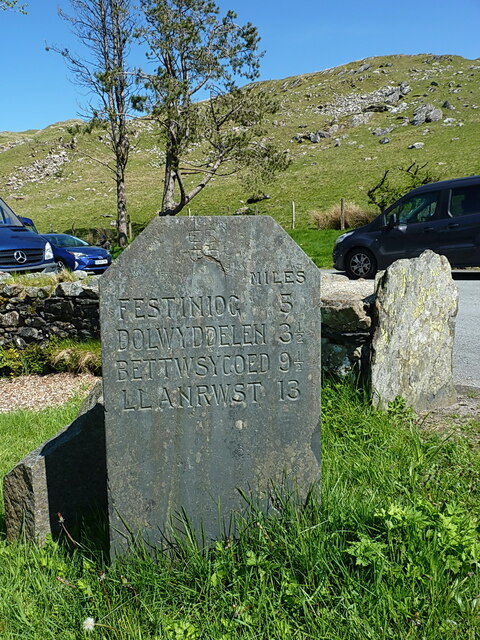
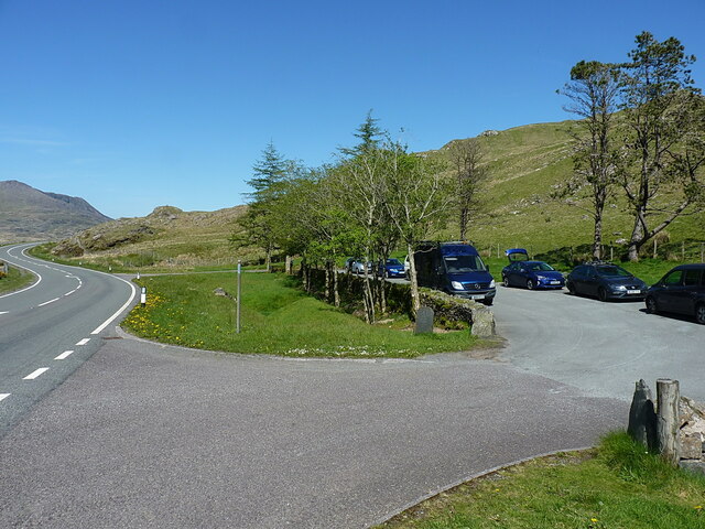
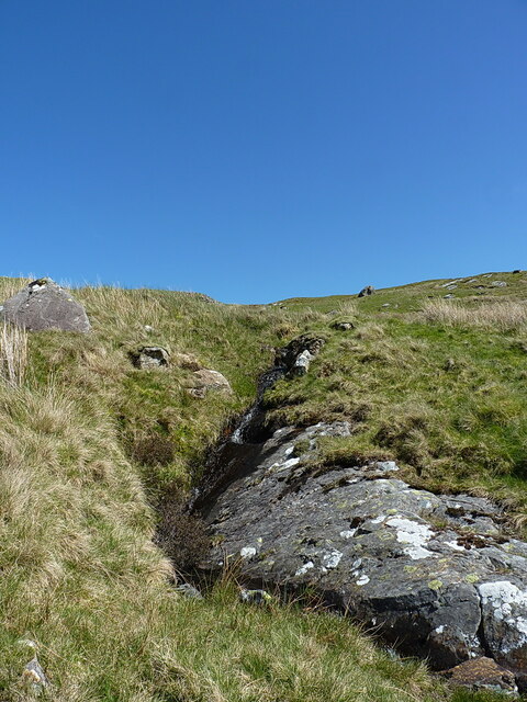
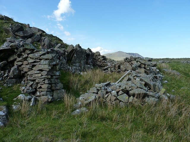
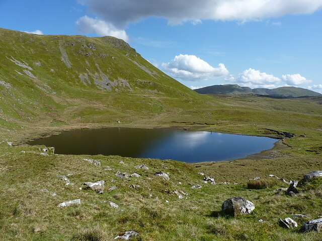
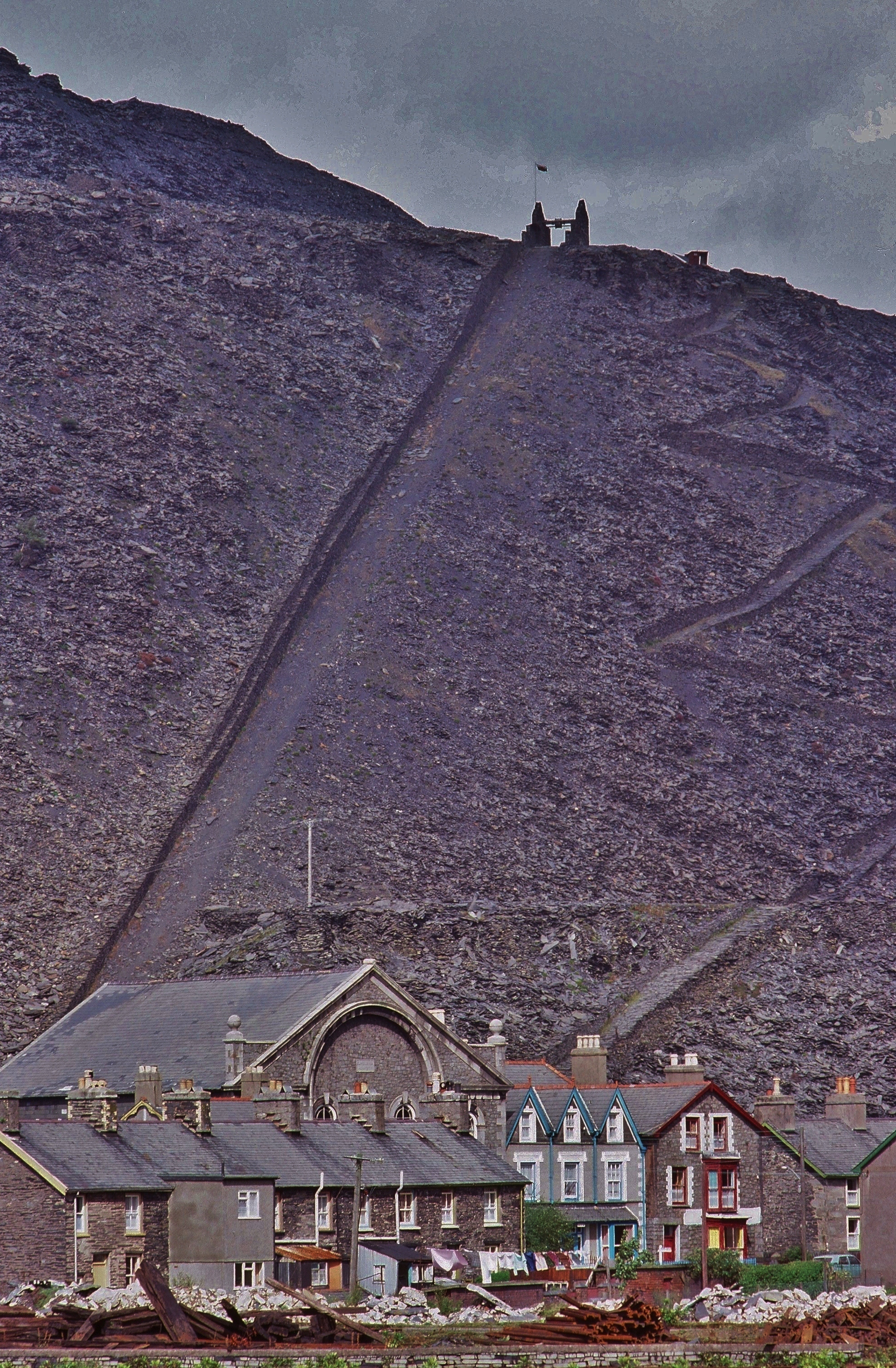
Situated approximately 5 kilometers (3 miles) southeast of the town of Caernarfon, Moel Dyrnogydd is part of the Snowdonia National Park. The hill is composed mainly of sedimentary rock, offering a diverse landscape of grassy slopes, rocky outcrops, and heather-covered moorland. Its unique geological features provide an ideal habitat for a variety of wildlife, including birds of prey, foxes, and mountain goats.

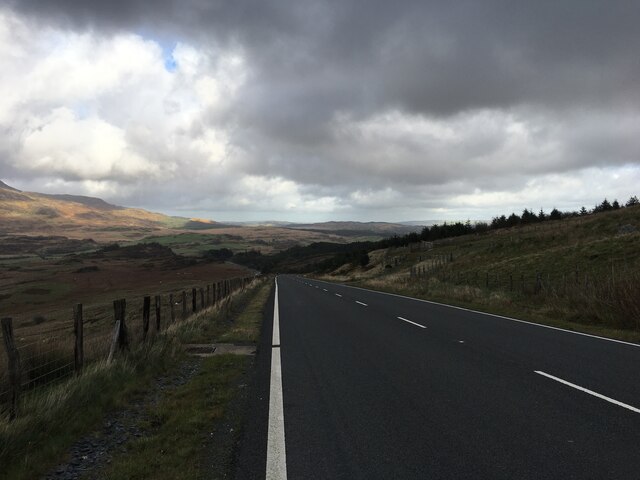
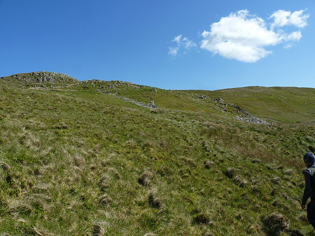
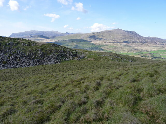
Ascending Moel Dyrnogydd offers breathtaking panoramic views of the surrounding countryside. On a clear day, visitors are rewarded with vistas of the nearby Snowdonia mountain range, the Llyn Peninsula, and the Irish Sea. The hill's location within the national park also means that it is surrounded by other notable peaks, including the iconic Mount Snowdon.

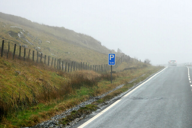
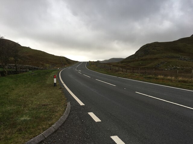
The hill can be accessed via several walking routes, with the most popular one starting from the village of Llanberis. The ascent can be challenging in parts, but the well-marked trails and breathtaking scenery make it a rewarding experience for both experienced hikers and beginners alike.

Overall, Moel Dyrnogydd is a captivating hill in Caernarfonshire, offering visitors a chance to immerse themselves in the natural beauty of the Snowdonia National Park and enjoy unparalleled views of the Welsh landscape.

If you have any feedback on the listing, please let us know in the comments section below.

Moel Dyrnogydd Images

Images are sourced within 2km of 53.023483/-3.9465576 or Grid Reference SH6949. Thanks to Geograph Open Source API. All images are credited.

A470, Crimea Pass The Crimea Pass (Welsh: Bwlch y Gorddinan) is a mountain pass in North Wales, on the A470 road between Blaenau Ffestiniog and Dolwyddelan. At its highest point, it is 385 metres (1,263 ft) above sea level. It takes its name from the Crimean War which was being fought about the time the road was opened, in 1854.
A470, Crimea Pass
The Crimea Pass (Welsh: Bwlch y Gorddinan) is a mountain pass in North Wales, on the A470 road between Blaenau Ffestiniog and Dolwyddelan. At its highest point, it is 385 metres (1,263 ft) above sea level. It takes its name from the Crimean War which was being fought about the time the road was opened, in 1854.
A470 towards Blaenau Ffestiniog
A470 Crimea Pass
A470 Crimea Pass
On Moel Penamnen - view to Llynnau Barlwyd & Moel Farlwyd
Relocated milestone, Crimea Pass The same stone as <a href="https://www.geograph.org.uk/photo/6293052">SH7048 : Old Milestone by the A470, Dolwyddelan</a>, which was originally located a little way further down the hill towards Blaenau until being smartened up and relocated sometime in the last 20 years or so.
Relocated milestone, Crimea Pass
The same stone as SH7048 : Old Milestone by the A470, Dolwyddelan, which was originally located a little way further down the hill towards Blaenau until being smartened up and relocated sometime in the last 20 years or so.
Parking area at the top of Crimea Pass A short stretch of old road, sectioned off as parking for hillwalkers and passers-by
Parking area at the top of Crimea Pass
A short stretch of old road, sectioned off as parking for hillwalkers and passers-by
Nameless stream on the hillside of Moel Farlwyd
Heading uphill on the north ridge of Moel Farlwyd Short grass and occasional bilberry underfoot makes for quite easy going on this northern ridge.
Heading uphill on the north ridge of Moel Farlwyd
Short grass and occasional bilberry underfoot makes for quite easy going on this northern ridge.
Easterly view from the ascent of Moel Farlwyd Across the rather sparse upper section of the forest in the valley of the Afon Las, with the northern ridge of Moel Penamnen above that.
Easterly view from the ascent of Moel Farlwyd
Across the rather sparse upper section of the forest in the valley of the Afon Las, with the northern ridge of Moel Penamnen above that.
Sheepfold on the northern ridge of Moel Farlwyd Marked on the 1:25000 map, but not mentioned or recorded by any of the normal archeological surveys of the hills such as the National Monuments Records, or the various Welsh Archeological Trusts.
Sheepfold on the northern ridge of Moel Farlwyd
Marked on the 1:25000 map, but not mentioned or recorded by any of the normal archeological surveys of the hills such as the National Monuments Records, or the various Welsh Archeological Trusts.
Northerly view from the ridge of Moel Farlwyd Looking across the broad valley occupied by the Afon Lledr and Dolwyddelan, with Moel Siabod the most prominent hill on the right, and the larger Glyderau range to the left beyond there.
Northerly view from the ridge of Moel Farlwyd
Looking across the broad valley occupied by the Afon Lledr and Dolwyddelan, with Moel Siabod the most prominent hill on the right, and the larger Glyderau range to the left beyond there.
Looking uphill to Moel Farlwyd Steady but quite easy grass slopes lead up from the northern ridge towards the summit of this hill.
Looking uphill to Moel Farlwyd
Steady but quite easy grass slopes lead up from the northern ridge towards the summit of this hill.
Summit cairn on Moel Farlwyd A little-visited summit, despite its proximity to the Crimea Pass and only being a short walk from the roadside.
Summit cairn on Moel Farlwyd
A little-visited summit, despite its proximity to the Crimea Pass and only being a short walk from the roadside.
The upper reservoir of Llynau Barlwyd This one's still full (nearly) with water, and a stock of small brown trout. The angler on the far bank was trying his luck with a dry line, but I could see several fish rising on the side nearest me
The upper reservoir of Llynau Barlwyd
This one's still full (nearly) with water, and a stock of small brown trout. The angler on the far bank was trying his luck with a dry line, but I could see several fish rising on the side nearest me
Rock outcrops and block scree on the western flank of Moel Penamnen Easy but steep walking up the slope from the bwlch below. Moel Siabod dominates in the background.
Rock outcrops and block scree on the western flank of Moel Penamnen
Easy but steep walking up the slope from the bwlch below. Moel Siabod dominates in the background.
Part of the conduit from Barlwyd to the Fotty-Bowydd reservoirs This channel of water was constructed as part of the slate quarrying works, to move water from the upper reservoirs at <a href="https://www.geograph.org.uk/photo/5063087">SH7148 : Llynnau Barlwyd</a> to the pools at <a href="https://www.geograph.org.uk/photo/731794">SH7046 : Leat from Llyn Barlwyd entering the Llechwedd reservoir</a>
Part of the conduit from Barlwyd to the Fotty-Bowydd reservoirs
This channel of water was constructed as part of the slate quarrying works, to move water from the upper reservoirs at SH7148 : Llynnau Barlwyd to the pools at SH7046 : Leat from Llyn Barlwyd entering the Llechwedd reservoir
Part of the conduit from Barlwyd to the Fotty-Bowydd reservoirs A water channel/leat, constructed to carry water from Barlwyd to reservoirs further down the valley near the slate workings.
Part of the conduit from Barlwyd to the Fotty-Bowydd reservoirs
A water channel/leat, constructed to carry water from Barlwyd to reservoirs further down the valley near the slate workings.
In the valley of the Afon Barlwyd Before the construction of the leat which carries water from the Llynnau Barlwyd away towards the old slate workings, this stream would have taken all the drainage from the hills above here.
In the valley of the Afon Barlwyd
Before the construction of the leat which carries water from the Llynnau Barlwyd away towards the old slate workings, this stream would have taken all the drainage from the hills above here.
Show me another place!

Moel Dyrnogydd is located at Grid Ref: SH6949 (Lat: 53.023483, Lng: -3.9465576)

Unitary Authority: Conwy

Police Authority: North Wales

What 3 Words

///responses.squirted.upstarts. Near Blaenau-Ffestiniog, Gwynedd

Nearby Locations

Moel Dyrnogydd

Related Wikis

Crimea Pass

The Crimea Pass (Welsh: Bwlch y Gorddinan) is a mountain pass in North Wales, on the A470 road between Blaenau Ffestiniog and Dolwyddelan connecting the...

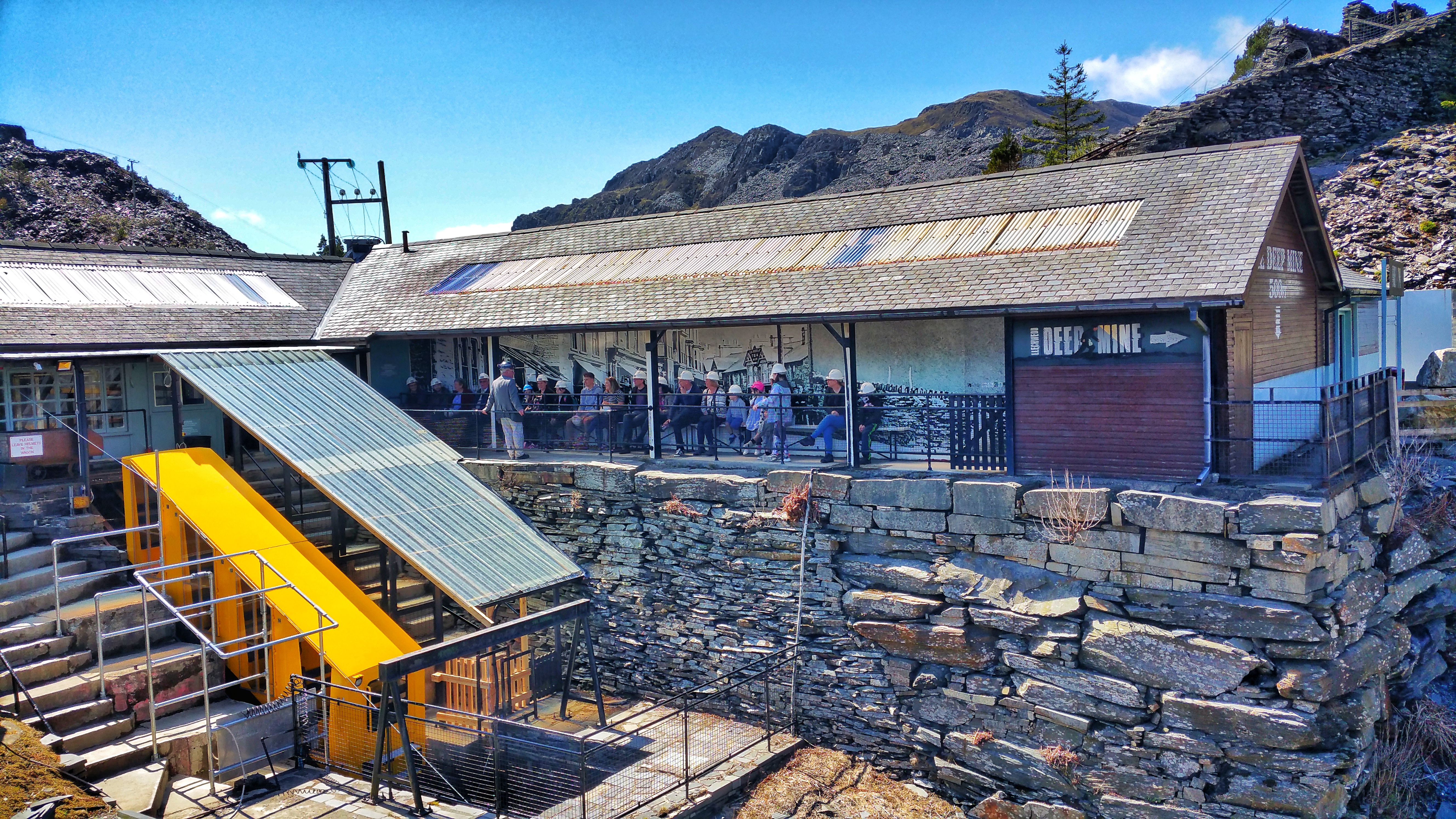
Llechwedd Slate Caverns

Llechwedd (Welsh pronunciation: [ɬɛχˈwɛð]) is a visitor attraction near Blaenau Ffestiniog, Gwynedd, Wales. It details the history of slate quarrying in...

Moel Penamnen

Moel Penamnen is a mountain just north of Blaenau Ffestiniog, North Wales and forms part of the Moelwynion. It may be climbed from the Crimea Pass via...

Y Gamallt

Y Gamallt is a mountain located in the Migneint in Snowdonia, North Wales. It forms part of the Arenig mountain range being separated from the Moelwynion...

Y Ro Wen

Y Ro Wen is a mountain just north of Blaenau Ffestiniog, North Wales and forms part of the Moelwynion. It may be climbed from Dolwyddelan or Cwm Penmachno...

Blaenau Ffestiniog (Pantyrafon) railway station

Blaenau Ffestiniog (Pantyrafon) was the London and North Western Railway's (LNWR) first passenger station in Blaenau Ffestiniog, then in Merionethshire...

Allt-fawr

Allt-fawr is a mountain in Snowdonia, North Wales and forms part of the Moelwynion group. It is on the internal border of Snowdonia National Park, and...

Oakeley quarry

Oakeley quarry is a slate quarry in the town of Blaenau Ffestiniog, north Wales. It was the largest underground slate mine in the world, and had 26 floors...

Nearby Amenities

Located within 500m of 53.023483,-3.9465576
Barrier: stile
Lat/Long: 53.0250279/-3.9419181
Moel Dyrnogydd
Ele: 522
Natural: peak
Source: OS 1:25k
Lat/Long: 53.023909/-3.9460237
Natural: spring
Source: OS 1:25k
Lat/Long: 53.0243771/-3.9510206
Power: pole
Lat/Long: 53.0224966/-3.9512822
Power: pole
Lat/Long: 53.0236517/-3.9514593
Power: pole
Lat/Long: 53.0229362/-3.9513552
Power: pole
Lat/Long: 53.0253545/-3.9517066
Power: pole
Lat/Long: 53.0258304/-3.9517817
Power: pole
Lat/Long: 53.0210147/-3.9515832
Power: pole
Lat/Long: 53.0213422/-3.9514303
Power: pole
Lat/Long: 53.0265225/-3.9518809
Power: pole
Lat/Long: 53.0217988/-3.9512211
Power: pole
Lat/Long: 53.0243164/-3.9515451
Natural: spring
Lat/Long: 53.0238862/-3.9512043
Disused: yes
Headframe: no
Man Made: mineshaft
Resource: slate
Lat/Long: 53.0270258/-3.9445113
Man Made: adit
Lat/Long: 53.0193827/-3.9441971
Man Made: adit
Resource: slate
Lat/Long: 53.0267892/-3.9447357
The data included in this document is from www.openstreetmap.org. The data is made available under ODbL.

Have you been to Moel Dyrnogydd?

Leave your review of Moel Dyrnogydd below (or comments, questions and feedback).