Am Bioran

Hill, Mountain in Perthshire

Scotland

Am Bioran

Road (A85), St Fillans Looking north-westward.
Road (A85), St Fillans Credit: Peter Wood

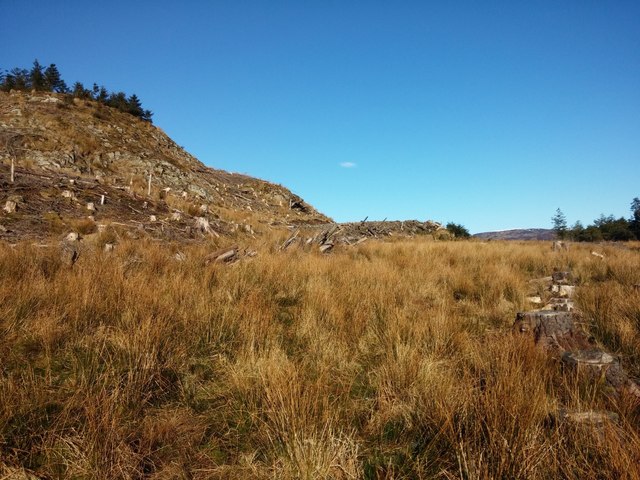
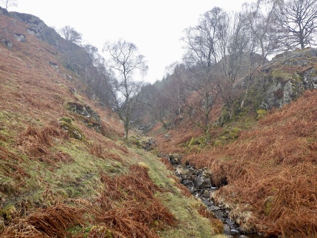
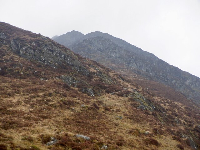
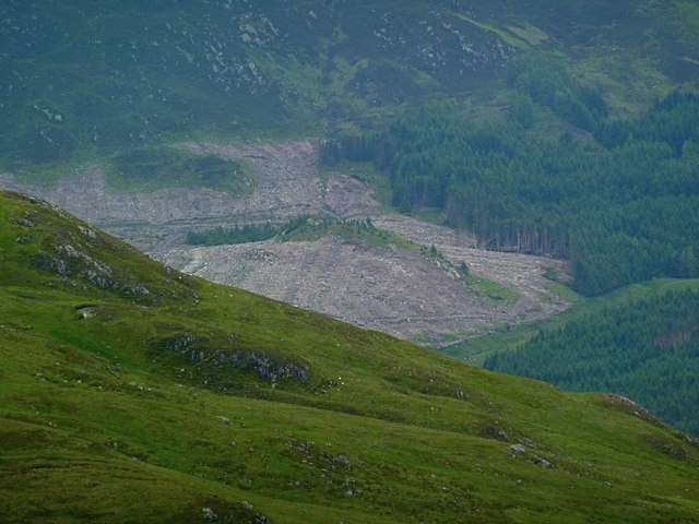
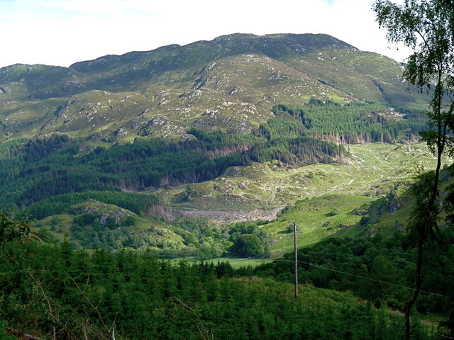
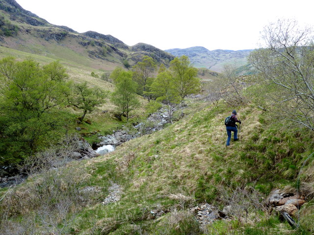
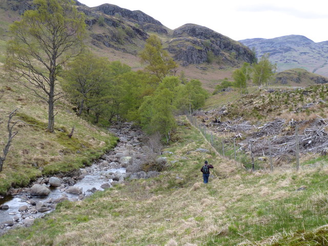
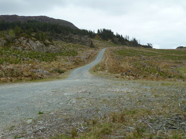
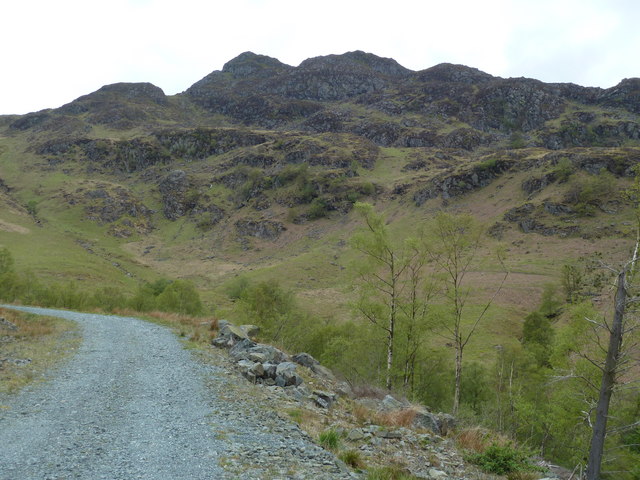
Am Bioran is a prominent hill located in Perthshire, Scotland. It is part of the southern Highlands and stands at an impressive height of 1,046 meters (3,432 feet) above sea level. Known for its rugged and picturesque beauty, Am Bioran attracts hikers, mountaineers, and nature enthusiasts from around the world.

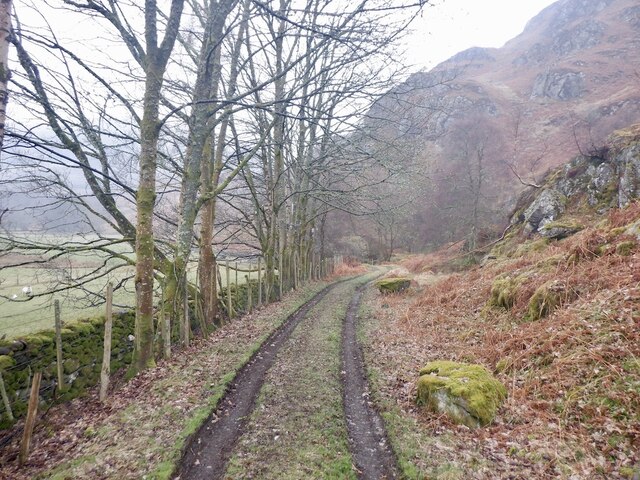
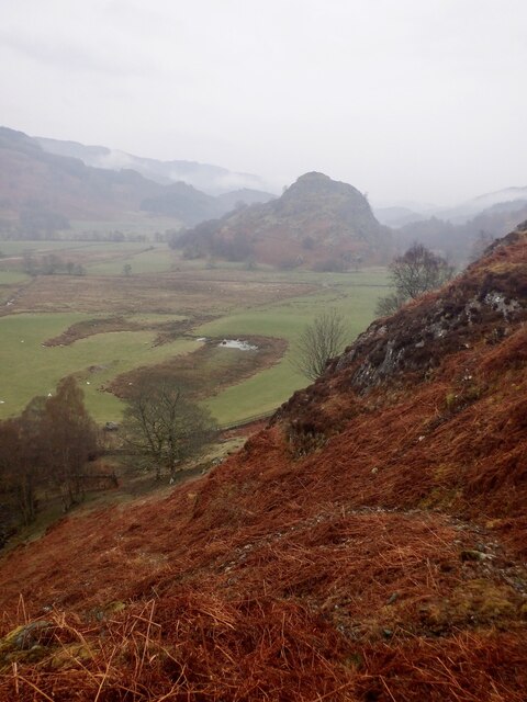
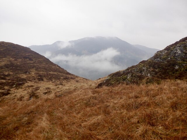
The hill is situated within the Cairngorms National Park, offering stunning panoramic views of the surrounding landscapes. Its location provides a unique combination of lush green valleys, sparkling lochs, and towering mountains, creating a truly breathtaking experience for visitors. The diverse terrain of Am Bioran offers a challenge for experienced climbers and hikers, but also provides various routes suitable for all levels of fitness.

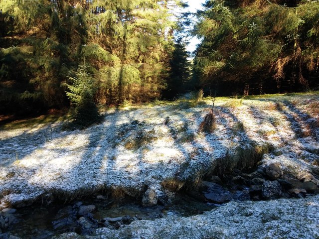
The hill is rich in biodiversity and boasts a wide variety of flora and fauna. It is home to a number of bird species, including the majestic golden eagles and peregrine falcons, making it a popular spot for birdwatching. In addition, the hill is dotted with vibrant wildflowers during the spring and summer months, adding bursts of color to the already stunning landscape.

Am Bioran is easily accessible, with several well-marked trails leading to its summit. The most popular route starts from the nearby village of Blair Atholl, allowing visitors to explore the charming local community before embarking on their ascent. The hill offers a truly immersive experience in the heart of Scotland's natural beauty, making it a must-visit destination for outdoor enthusiasts and nature lovers alike.

If you have any feedback on the listing, please let us know in the comments section below.
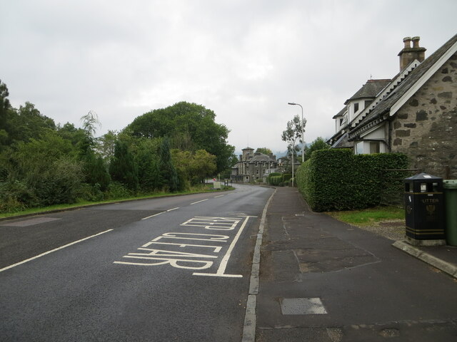
Am Bioran Images

Images are sourced within 2km of 56.373731/-4.1143693 or Grid Reference NN6922. Thanks to Geograph Open Source API. All images are credited.

Road (A85), St Fillans Looking north-westward.
Road (A85), St Fillans
Looking north-westward.
Ordnance Survey Flush Bracket S8078 This bracket can be found on the roadside (A85) wall of a building in St Fillans.
The recorded details give a height of 102.299 metres above seal level.
For more detail see : <span class="nowrap"><a title="https://www.bench-marks.org.uk/bm21159" rel="nofollow ugc noopener" href="https://www.bench-marks.org.uk/bm21159">Link</a><img style="margin-left:2px;" alt="External link" title="External link - shift click to open in new window" src="https://s1.geograph.org.uk/img/external.png" width="10" height="10"/></span>
Ordnance Survey Flush Bracket S8078
This bracket can be found on the roadside (A85) wall of a building in St Fillans. The recorded details give a height of 102.299 metres above seal level. For more detail see : LinkExternal link
End of track Shows the terrain looking back towards the end of the road shown on the OS maps. The road can be seen as a bulldozed flat area in the centre of the image. South of here is rough ground.
End of track
Shows the terrain looking back towards the end of the road shown on the OS maps. The road can be seen as a bulldozed flat area in the centre of the image. South of here is rough ground.
In the woods Shows the river marked on OS maps and the surrounding terrain. Gives some idea of the route between the roads, marked on OS maps, which end north and south of this point.
In the woods
Shows the river marked on OS maps and the surrounding terrain. Gives some idea of the route between the roads, marked on OS maps, which end north and south of this point.
Sunflower - Wet Day Easter Dundurn farm
Sunflower - Wet Day
Easter Dundurn farm
St Fillans Golf Club clubhouse
Gate, Dundurn One of the ways into the rather defended woodland around Cnoc a' Mhadaidh. Still hard work over the "stile" on the right.  The sign is an anachronism and should have been replaced many years ago.
Gate, Dundurn
One of the ways into the rather defended woodland around Cnoc a' Mhadaidh. Still hard work over the "stile" on the right. The sign is an anachronism and should have been replaced many years ago.
Track, Dundurn
Track, Dundurn
Misfit stream A small burn running through a steep sided defile north of Cnoc a' Mhadaidh.
Misfit stream
A small burn running through a steep sided defile north of Cnoc a' Mhadaidh.
View towards Dundurn At the foot of the steep ridge up Am Bioran.
View towards Dundurn
At the foot of the steep ridge up Am Bioran.
Notch, Am Bioran A chance to catch breath on a very steep ascent.
Notch, Am Bioran
A chance to catch breath on a very steep ascent.
Am Bioran A steep rocky ridge above St Fillans. While it leads to a boggy plateau it is a fine route in itself and appears rarely visited. No wear and tear visible.
Am Bioran
A steep rocky ridge above St Fillans. While it leads to a boggy plateau it is a fine route in itself and appears rarely visited. No wear and tear visible.
Large clear felled area near Ben Halton From the heights of Meall Reamhar. Again, these are the ubiquitous spruce trees - coming to maturity.
Large clear felled area near Ben Halton
From the heights of Meall Reamhar. Again, these are the ubiquitous spruce trees - coming to maturity.
Forest clearance on the slopes of Mor Bheinn
Negotiating Gleann Ghoinean Not an easy walk alongside the burn!
Negotiating Gleann Ghoinean
Not an easy walk alongside the burn!
Allt Ghoinean More easily seen from the road (far right) after tree felling nearby.
Allt Ghoinean
More easily seen from the road (far right) after tree felling nearby.
New forestry track Not there when the ordnance survey map was drawn up. Clear felling all around.
New forestry track
Not there when the ordnance survey map was drawn up. Clear felling all around.
Forestry road near Dundurn
Show me another place!

Am Bioran is located at Grid Ref: NN6922 (Lat: 56.373731, Lng: -4.1143693)

Unitary Authority: Perth and Kinross

Police Authority: Tayside

What 3 Words

///fetches.powerful.gradually. Near Comrie, Perth & Kinross

Nearby Locations

Am Bioran

Related Wikis

Dundurn, Scotland

Dundurn is the site of a Pictish hillfort in what is now Strathearn in Perth and Kinross, Scotland. The fort was situated on a hill with the River Earn...

St Fillans

St Fillans is a village in Perthshire in the central highlands of Scotland, in the council area of Perth and Kinross. The village lies at the eastern end...

Neish Island

Neish Island is an island in Loch Earn, Scotland. == History == It is recorded that in 1490 James IV of Scotland ordered Lord Drummond to cast down the...

St Fillans railway station

St Fillans railway station served the village of St Fillans, in the historical county of Perthshire, Scotland, from 1901 to 1951 on the Lochearnhead, St...

Dunira, Perthshire

Dunira (Scottish Gaelic: Dùn Iar) is an estate of about 350 hectares (860 acres) in Perthshire, Scotland, 3 miles (5 kilometres) northwest of Comrie and...

Dalchonzie Halt railway station

Dalchonzie Halt railway station, Dalchonzie Platform railway station or Dalchonzie Siding in the Parish of Comrie, Perth and Kinross, Scotland was an intermediate...

Dalchonzie

Dalchonzie is a place by the river Earn in Perthshire. Buildings there include a country house, a hydro-electric power station and farms. From 1903 to...

Aberuchill Castle

Aberuchill Castle is located 3 kilometres (1.9 mi) west of Comrie in Perthshire, Scotland. It comprises an early 17th-century tower house, which was extended...

Have you been to Am Bioran?

Leave your review of Am Bioran below (or comments, questions and feedback).