Lock Hill

Hill, Mountain in Kirkcudbrightshire

Scotland

Lock Hill

Tongland Dam in 1988 A guided tour including the foot of the dam
Tongland Dam in 1988 Credit: Kevin Waterhouse

Lock Hill is a prominent hill located in the region of Kirkcudbrightshire, Scotland. Standing at an impressive height of approximately 532 meters (1,745 feet), it offers breathtaking panoramic views of the surrounding countryside. The hill is situated within the Galloway Forest Park, an area renowned for its natural beauty and diverse wildlife.

Lock Hill is characterized by its steep slopes and rugged terrain, covered in heather, grasses, and scattered rocks. Its summit provides a vantage point for visitors to admire the stunning vistas that stretch across the rolling hills, dense forests, and sparkling lochs of the area. On clear days, it is even possible to catch glimpses of the distant coastline.

Hiking enthusiasts are drawn to Lock Hill due to its challenging yet rewarding trails. The ascent to the top can be accomplished via various routes, each offering a unique experience. While the climb requires a moderate level of fitness, the picturesque surroundings provide ample opportunities for rest and contemplation.

The hill is also home to a diverse range of flora and fauna. Wildflowers such as heather, foxgloves, and harebells bloom in abundance, adding a vibrant touch to the landscape. Birdwatchers can spot a variety of species, including raptors like buzzards and kestrels, as well as smaller birds like finches and tits.

Overall, Lock Hill is a captivating natural landmark that offers outdoor enthusiasts a chance to immerse themselves in the scenic beauty and tranquility of Kirkcudbrightshire's countryside.

If you have any feedback on the listing, please let us know in the comments section below.
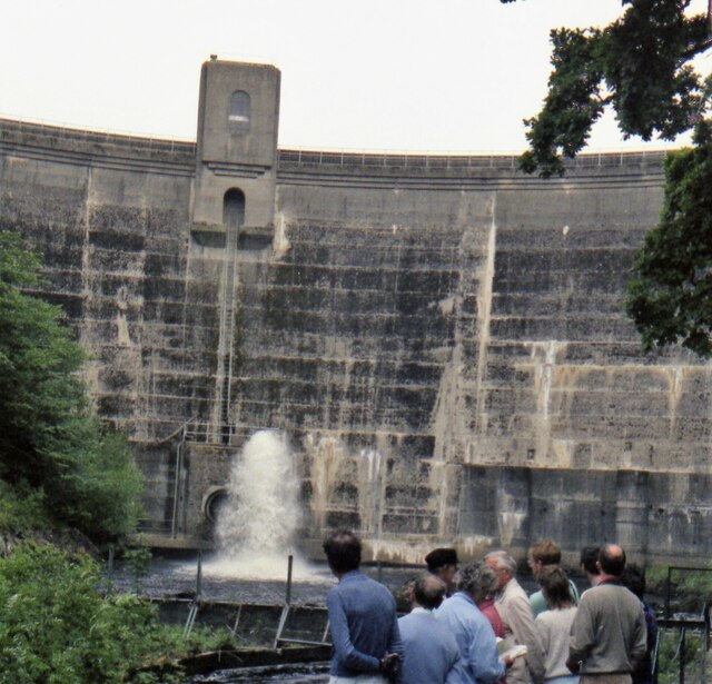
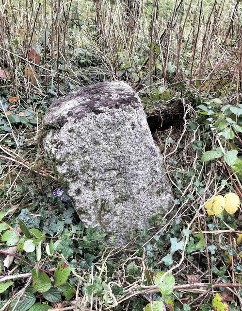
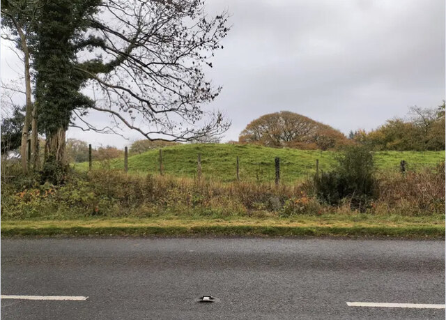
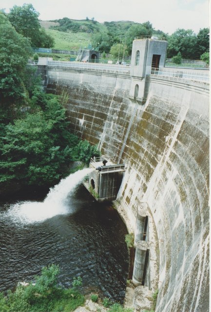
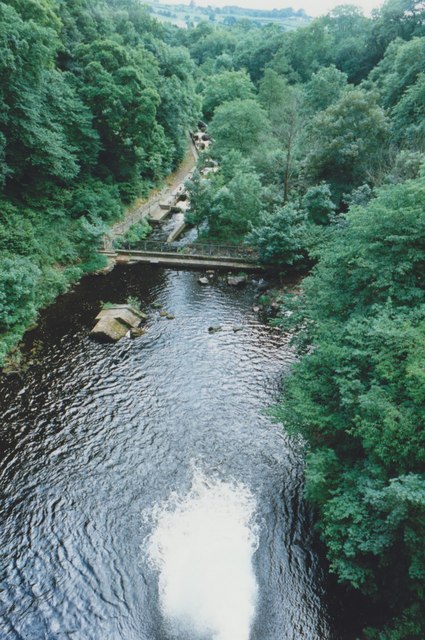
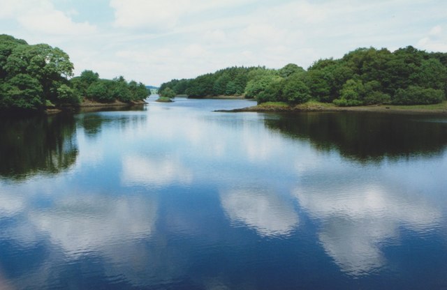
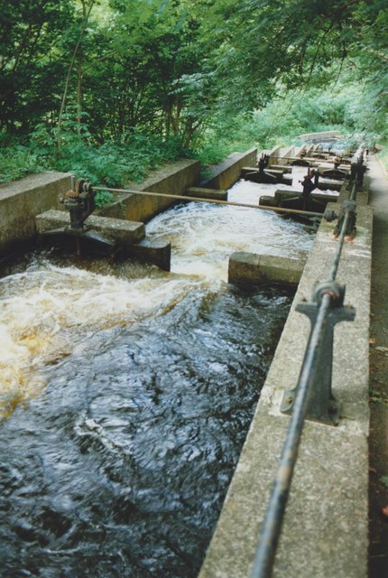
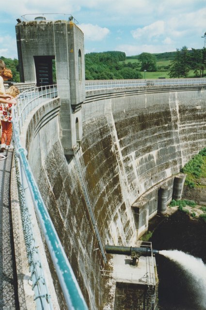
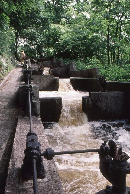
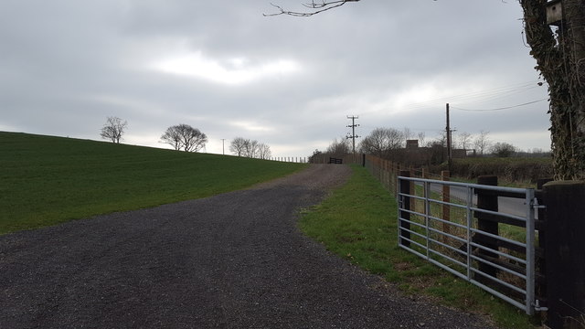
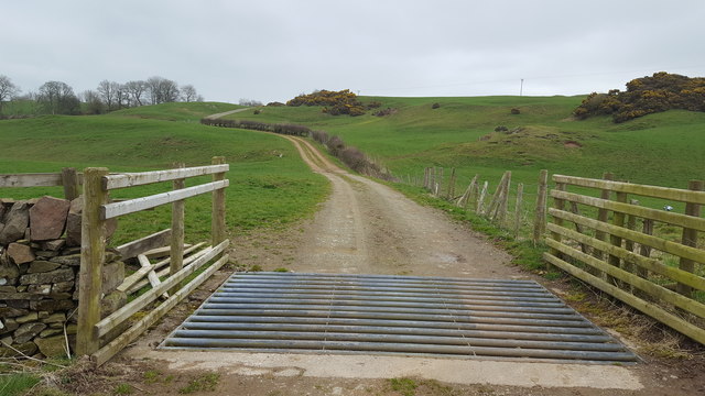
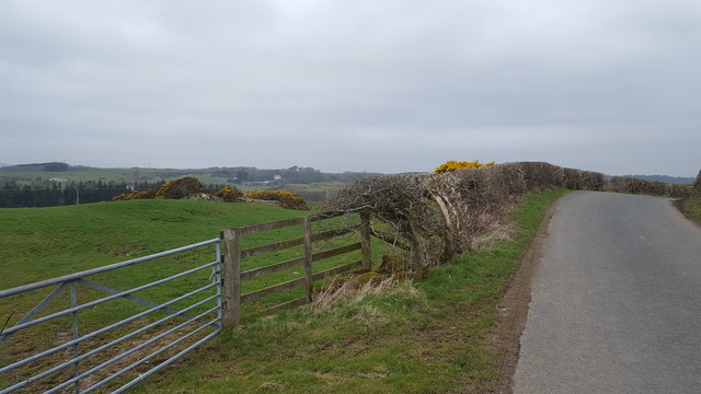
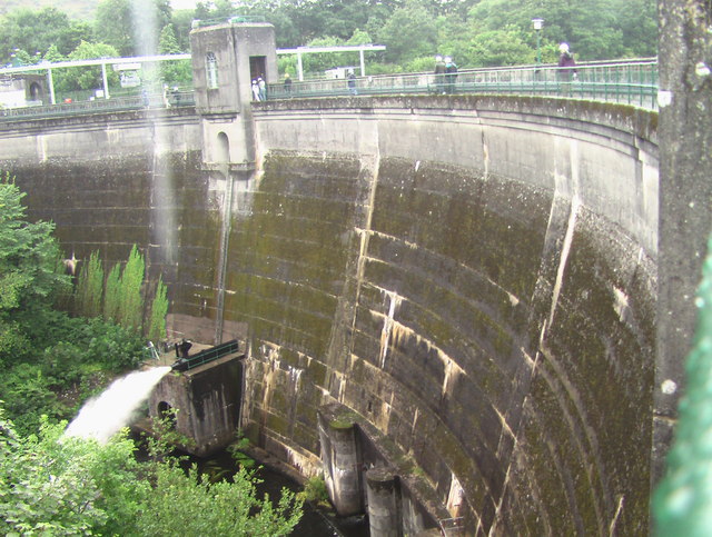
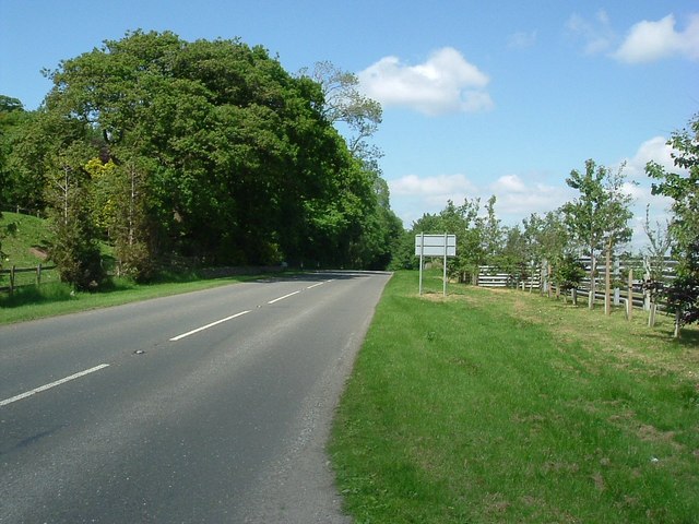
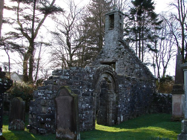
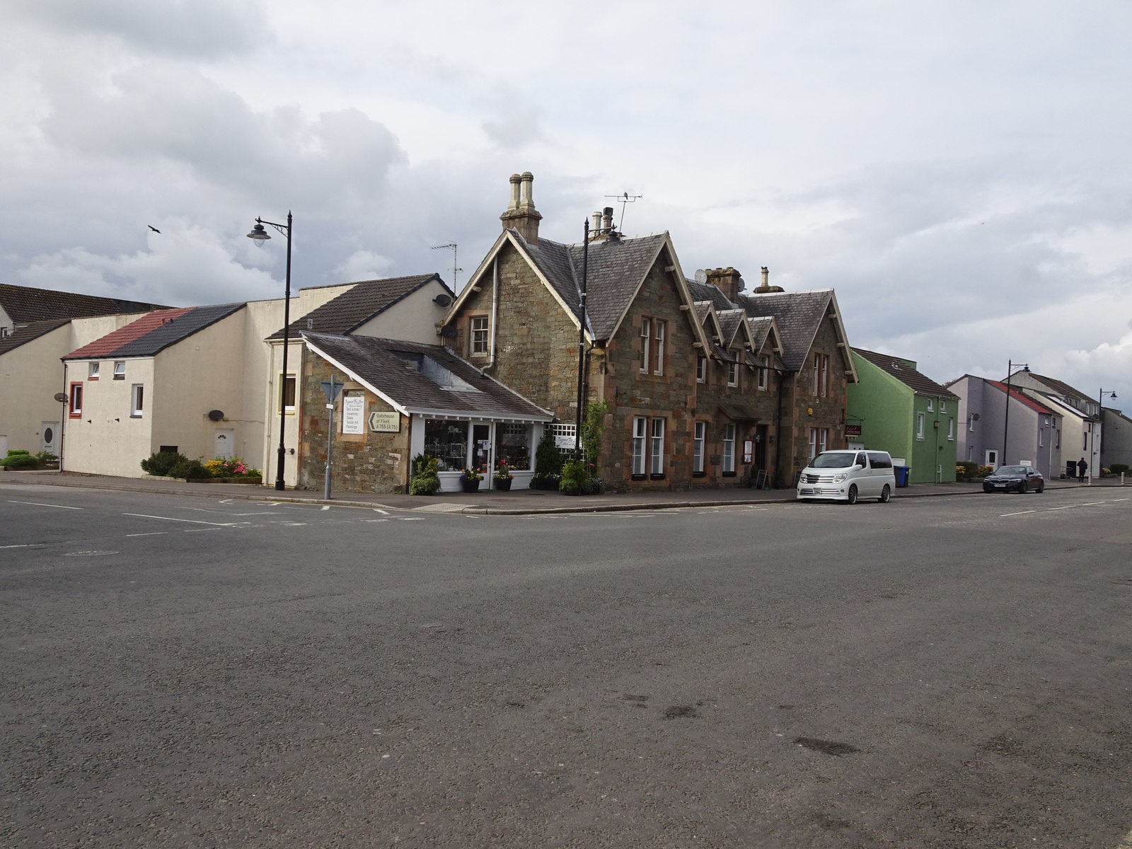
Lock Hill Images

Images are sourced within 2km of 54.872323/-4.0355205 or Grid Reference NX6954. Thanks to Geograph Open Source API. All images are credited.

Tongland Dam in 1988 A guided tour including the foot of the dam
Tongland Dam in 1988
A guided tour including the foot of the dam
Cattle near Netherthird Occupying a field in the NW corner of the grid square.
Cattle near Netherthird
Occupying a field in the NW corner of the grid square.
The road to Castle Douglas This is the minor road linking Tongland and Castle Douglas. Anyone in a hurry would be well advised to use the A711 on the other side of the Dee.
The road to Castle Douglas
This is the minor road linking Tongland and Castle Douglas. Anyone in a hurry would be well advised to use the A711 on the other side of the Dee.
Old Milestone, Kirkcudbright parish Square-shaped granite stone by the A711, in the parish of Kirkcudbright (Stewartry District). It may have been set up by the Tongland Trust.

Inscription reads:-
3

Milestone Society National ID: DG_DFKK24
Old Milestone, Kirkcudbright parish
Square-shaped granite stone by the A711, in the parish of Kirkcudbright (Stewartry District). It may have been set up by the Tongland Trust. Inscription reads:- 3 Milestone Society National ID: DG_DFKK24
Old Milestone, Kirkcudbright parish Square-shaped granite stone by the A711, in the parish of Kirkcudbright (Stewartry District). It may have been set up by the Tongland Trust. 

Inscription reads:-
3

Milestone Society National ID: DG_DFKK24
Old Milestone, Kirkcudbright parish
Square-shaped granite stone by the A711, in the parish of Kirkcudbright (Stewartry District). It may have been set up by the Tongland Trust. Inscription reads:- 3 Milestone Society National ID: DG_DFKK24
Tongland Dam The dam holds back 8.8 million cubic metres of water in Tongland Loch.
Tongland Dam
The dam holds back 8.8 million cubic metres of water in Tongland Loch.
View from Tongland Dam Looking downstream from the top of the dam wall. The water is coming out of one of the discharge pipes near the bottom of the dam.
View from Tongland Dam
Looking downstream from the top of the dam wall. The water is coming out of one of the discharge pipes near the bottom of the dam.
Tongland Loch The view from Tongland Dam looking up Tongland Loch, the narrow reservoir for the Tongland Hydro-electric scheme.
Tongland Loch
The view from Tongland Dam looking up Tongland Loch, the narrow reservoir for the Tongland Hydro-electric scheme.
Fish Pass, Tongland Dam The fish pass below the dam allows migratory fish from the River Dee to bypass the dam.
Fish Pass, Tongland Dam
The fish pass below the dam allows migratory fish from the River Dee to bypass the dam.
Tongland Dam
Tongland Dam
Fish Pass Tongland Dam A few of a series of 39 chambers making up the complete fish ladder, allowing migratory fish to ascend the River Dee.
Fish Pass Tongland Dam
A few of a series of 39 chambers making up the complete fish ladder, allowing migratory fish to ascend the River Dee.
Elvers, Fish Pass Tongland Dam Elvers (young eels) climbing up the edge of the fish pass, using the mossy walls as an easier route, rather than attempting to fight against the strong water current (seen on the right).
Elvers, Fish Pass Tongland Dam
Elvers (young eels) climbing up the edge of the fish pass, using the mossy walls as an easier route, rather than attempting to fight against the strong water current (seen on the right).
New access road at Tongland This is a recently constructed access road from the public roadway at Tongland.
New access road at Tongland
This is a recently constructed access road from the public roadway at Tongland.
Track to Netherthird Farm The beginning of the long drive to Netherthird Farm.
Track to Netherthird Farm
The beginning of the long drive to Netherthird Farm.
Above Tongland Loch The open countryside to the east of Tongland Loch.
Above Tongland Loch
The open countryside to the east of Tongland Loch.
Netherthird Farm A track leads to open farmland at Netherthird Farm.
Netherthird Farm
A track leads to open farmland at Netherthird Farm.
Tongland Dam HEP station
A711 northbound Looking northeast.
A711 northbound
Looking northeast.
Show me another place!

Lock Hill is located at Grid Ref: NX6954 (Lat: 54.872323, Lng: -4.0355205)

Unitary Authority: Dumfries and Galloway

Police Authority: Dumfries and Galloway

What 3 Words

///quietest.ruler.converged. Near Kirkcudbright, Dumfries & Galloway

Related Wikis

Tongland

Tongland is a small village about 2 miles (3 km) north of Kirkcudbright, in the historic county of Kirkcudbrightshire in Dumfries and Galloway, Scotland...

Tongland Abbey

Tungland or Tongland Abbey was a Premonstratensian monastic community located in Tongland in the historical county of Kirkcudbrightshire in Dumfries and...

Tarff railway station

Tarff railway station served the village of Ringford, Dumfries and Galloway, Scotland from 1864 to 1965 on the Kirkcudbright Railway. == History == The...

Ringford

Ringford is a village in the historical county of Kirkcudbrightshire in Dumfries and Galloway located at grid reference NX689578 beside the Tarff Water...

Twynholm

Twynholm () is a village in Scotland. It is located 2+1⁄4 miles (3.6 km) north-northwest of Kirkcudbright and 4+1⁄2 miles (7.2 km) east of Gatehouse of...

Kirkcudbright Railway

The Kirkcudbright Railway was a railway branch line linking Kirkcudbright to the Castle Douglas and Dumfries Railway at Castle Douglas. It opened in 1864...

Kirkcudbright railway station

Kirkcudbright railway station served the town of Kirkcudbright, Dumfries and Galloway, Scotland from 1864 to 1965 on the Kirkcudbright Railway. == History... ==

MacLellan's Castle

MacLellan's Castle in the town of Kirkcudbright, in Galloway, Scotland, was built in the late 16th century. It stands in the centre of Kirkcudbright...

Nearby Amenities

Located within 500m of 54.872323,-4.0355205
Bar Hill
Natural: peak
Source: Popular Edition (Scotland)
Lat/Long: 54.8710483/-4.0390446
Power: tower
Lat/Long: 54.8738476/-4.0329825
Power: tower
Lat/Long: 54.8686806/-4.0342403
Power: tower
Lat/Long: 54.8716481/-4.033518
Power: tower
Lat/Long: 54.8755742/-4.0325622
Man Made: tower
Tower Type: communication
Lat/Long: 54.8705093/-4.0395738
Power: pole
Lat/Long: 54.8695701/-4.0381898
Power: pole
Lat/Long: 54.8687752/-4.0385063
Power: pole
Lat/Long: 54.8735094/-4.0302468
Power: pole
Lat/Long: 54.8735644/-4.0297646
Power: pole
Lat/Long: 54.8736329/-4.0291251
Power: pole
Lat/Long: 54.8736872/-4.028611
The data included in this document is from www.openstreetmap.org. The data is made available under ODbL.

Have you been to Lock Hill?

Leave your review of Lock Hill below (or comments, questions and feedback).