Black Hill
Hill, Mountain in Ayrshire
Scotland
Black Hill

Black Hill is a prominent hill located in East Ayrshire, Scotland. It is part of the larger Carrick Hills range and stands at an elevation of approximately 679 meters (2,228 feet). As one of the highest peaks in the region, it offers breathtaking panoramic views of the surrounding landscape.
The hill is characterized by its distinctive dark-colored soil, which gives it its name. It is composed mainly of basalt, a volcanic rock that formed millions of years ago during volcanic activity in the area. The hill's steep slopes and rugged terrain attract outdoor enthusiasts, including hikers, climbers, and nature lovers.
The Black Hill area is known for its rich biodiversity, with a variety of plant and animal species thriving in its diverse habitats. The hill is covered in heather, grasses, and scattered trees, providing a haven for wildlife such as red grouse, rabbits, and deer. Birdwatchers can spot various species, including buzzards, kestrels, and peregrine falcons soaring above the hill.
For those seeking adventure, Black Hill offers several walking trails and paths that cater to different fitness levels. The ascent to the summit can be challenging but rewarding, with stunning views of the Ayrshire countryside and beyond. On a clear day, it is possible to see as far as the Ailsa Craig and the Isle of Arran.
Overall, Black Hill in Ayrshire is a captivating natural landmark, combining its geological significance, diverse ecosystems, and stunning vistas to create a memorable experience for visitors.
If you have any feedback on the listing, please let us know in the comments section below.
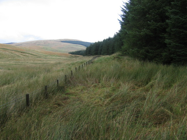
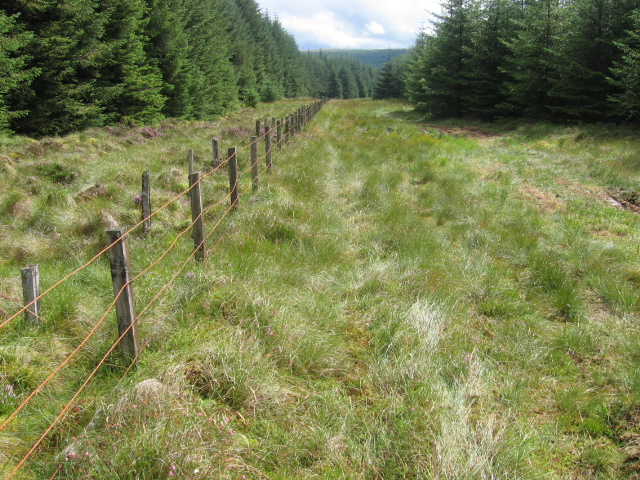
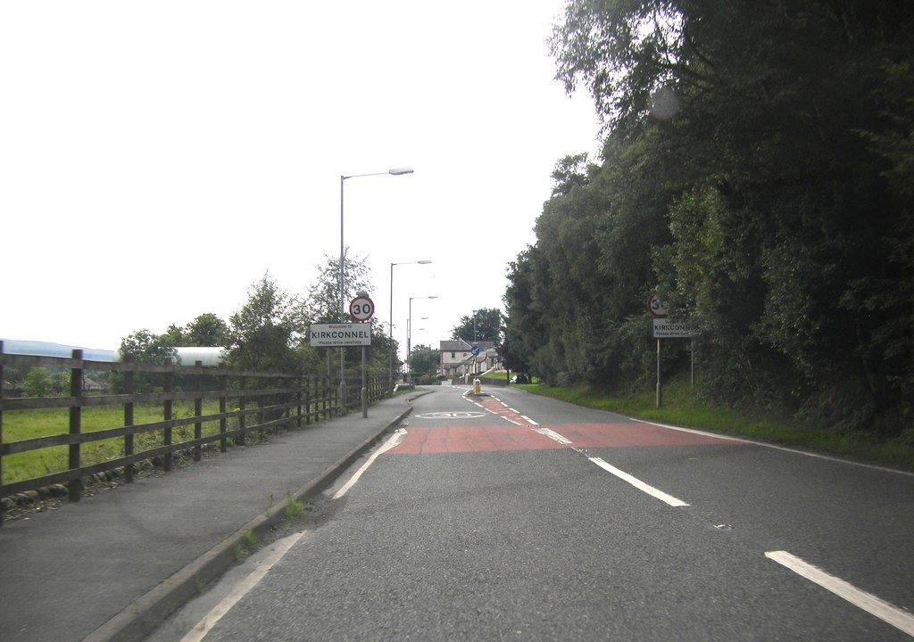
Black Hill Images
Images are sourced within 2km of 55.44234/-4.0711123 or Grid Reference NS6918. Thanks to Geograph Open Source API. All images are credited.


Black Hill is located at Grid Ref: NS6918 (Lat: 55.44234, Lng: -4.0711123)
Unitary Authority: East Ayrshire
Police Authority: Ayrshire
What 3 Words
///perkily.joyously.triangle. Near Kirkconnel, Dumfries & Galloway
Nearby Locations
Related Wikis

Kelloside
Kelloside is a historic place south of Kirkconnel parish and the River Nith in Dumfries and Galloway, Dumfriesshire, Scotland. Old Kelloside is located...
Kirkconnel
Kirkconnel (Gaelic: Cille Chonbhaill) is a small parish in Dumfries and Galloway, southwestern Scotland. It is located on the A76 near the head of Nithsdale...

Kirkconnel railway station
Kirkconnel railway station is a railway station in the town of Kirkconnel, Dumfries and Galloway, Scotland. The station is unstaffed, owned by Network...

Mansfield, East Ayrshire
Mansfield is a village in East Ayrshire in Scotland. It is north of New Cumnock from which it is separated by the River Nith and the adjacent village of...
Nearby Amenities
Located within 500m of 55.44234,-4.0711123Have you been to Black Hill?
Leave your review of Black Hill below (or comments, questions and feedback).