Chalmers Hill
Hill, Mountain in Kirkcudbrightshire
Scotland
Chalmers Hill

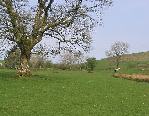
Chalmers Hill is a prominent hill located in Kirkcudbrightshire, in the southwest of Scotland. Standing at an elevation of approximately 304 meters (997 feet), it offers stunning panoramic views of the surrounding countryside and the nearby town of Kirkcudbright. The hill is a popular destination for hikers and nature enthusiasts, with well-maintained trails leading to the summit.
Chalmers Hill is known for its diverse flora and fauna, with a variety of plant species and wildlife inhabiting the area. The hill is home to a range of bird species, including buzzards, kestrels, and pheasants, making it a haven for birdwatchers.
The hill is also steeped in history, with remnants of ancient settlements and burial mounds scattered throughout the area. Archaeological evidence suggests that the hill has been inhabited for thousands of years, with traces of human activity dating back to the Neolithic period.
Overall, Chalmers Hill is a picturesque and historically significant landmark in Kirkcudbrightshire, offering visitors a chance to connect with nature and explore the rich cultural heritage of the region.
If you have any feedback on the listing, please let us know in the comments section below.
Chalmers Hill Images
Images are sourced within 2km of 55.097011/-4.0742459 or Grid Reference NX6780. Thanks to Geograph Open Source API. All images are credited.


Chalmers Hill is located at Grid Ref: NX6780 (Lat: 55.097011, Lng: -4.0742459)
Unitary Authority: Dumfries and Galloway
Police Authority: Dumfries and Galloway
What 3 Words
///hampers.feed.attic. Near Castle Douglas, Dumfries & Galloway
Nearby Locations
Related Wikis

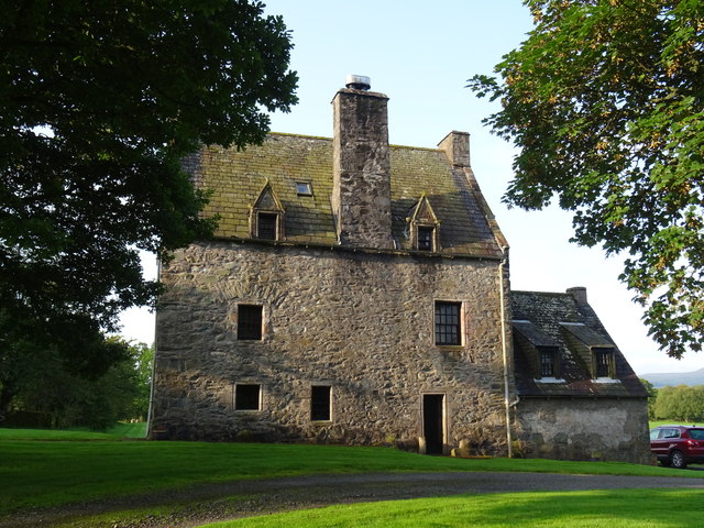
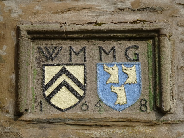
Barscobe Castle
Barscobe Castle is a 17th-century tower house in Balmaclellan, Kirkcudbrightshire, Scotland. It is a typical house of a country laird, and according to...

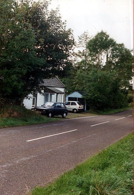
Balmaclellan
Balmaclellan (Scottish Gaelic: Baile Mac-a-ghille-dhiolan, meaning town of the MacLellans) is a small hillside village of stone houses with slate roofs...

Loch Howie
Loch Howie is a small, narrow, upland freshwater loch on the north side of Blackcraig Hill, approximately 18 miles (29 km) west of Dumfries, Scotland....

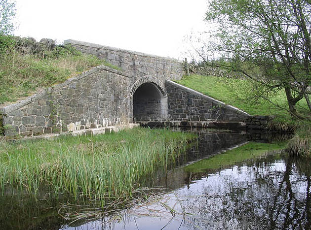
Ken Bridge
The Ken Bridge is a road bridge about 0.8 kilometres (0.5 mi) north east of New Galloway in Dumfries and Galloway, Scotland, which carries the A712 road...
Nearby Amenities
Located within 500m of 55.097011,-4.0742459Have you been to Chalmers Hill?
Leave your review of Chalmers Hill below (or comments, questions and feedback).