Barscobe Hill
Hill, Mountain in Kirkcudbrightshire
Scotland
Barscobe Hill

Barscobe Hill is a prominent feature located in the region of Kirkcudbrightshire in southern Scotland. Rising to an elevation of 311 meters (1,020 feet), it is classified as a hill rather than a mountain. The hill is situated near the small village of Parton, approximately 8 kilometers (5 miles) northwest of Castle Douglas.
Barscobe Hill is known for its picturesque landscape, offering stunning panoramic views of the surrounding countryside. The hill is predominantly covered in lush grassland, dotted with scattered trees and shrubs. Its slopes are gentle, making it easily accessible for hikers and nature enthusiasts.
Flora and fauna are abundant on Barscobe Hill, with a diverse range of plant species such as heather, bilberry, and bracken covering the terrain. The hill is home to a variety of wildlife, including birds like buzzards, kestrels, and pheasants, as well as small mammals like rabbits and foxes.
The hill is a popular destination for outdoor activities, attracting visitors who enjoy walking, hiking, and birdwatching. A network of well-maintained paths and trails crisscross the hill, providing opportunities for exploration and adventure. The summit of Barscobe Hill offers breathtaking views of the surrounding Scottish countryside, including the Galloway Forest Park and the Solway Firth.
With its natural beauty and serene atmosphere, Barscobe Hill is a tranquil escape for those seeking outdoor recreation and an opportunity to immerse themselves in the stunning Scottish landscape.
If you have any feedback on the listing, please let us know in the comments section below.
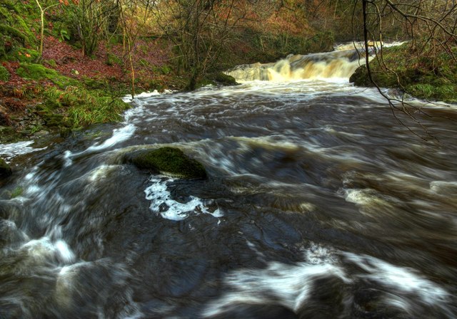
Barscobe Hill Images
Images are sourced within 2km of 55.100429/-4.0809281 or Grid Reference NX6780. Thanks to Geograph Open Source API. All images are credited.


Barscobe Hill is located at Grid Ref: NX6780 (Lat: 55.100429, Lng: -4.0809281)
Unitary Authority: Dumfries and Galloway
Police Authority: Dumfries and Galloway
What 3 Words
///gymnasium.impulsive.worth. Near Castle Douglas, Dumfries & Galloway
Nearby Locations
Related Wikis

Barscobe Castle
Barscobe Castle is a 17th-century tower house in Balmaclellan, Kirkcudbrightshire, Scotland. It is a typical house of a country laird, and according to...

Balmaclellan
Balmaclellan (Scottish Gaelic: Baile Mac-a-ghille-dhiolan, meaning town of the MacLellans) is a small hillside village of stone houses with slate roofs...

Loch Howie
Loch Howie is a small, narrow, upland freshwater loch on the north side of Blackcraig Hill, approximately 18 miles (29 km) west of Dumfries, Scotland....

Ken Bridge
The Ken Bridge is a road bridge about 0.8 kilometres (0.5 mi) north east of New Galloway in Dumfries and Galloway, Scotland, which carries the A712 road...
Nearby Amenities
Located within 500m of 55.100429,-4.0809281Have you been to Barscobe Hill?
Leave your review of Barscobe Hill below (or comments, questions and feedback).