Barmorrow Hill
Hill, Mountain in Kirkcudbrightshire
Scotland
Barmorrow Hill
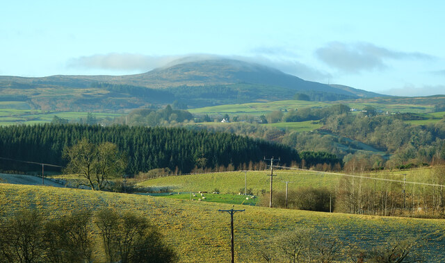
Barmorrow Hill is a prominent hill located in Kirkcudbrightshire, a historic county in southwest Scotland. With an elevation of approximately 215 meters (705 feet), it stands as a notable feature in the local landscape. The hill is situated near the town of Kirkcudbright, known for its rich history and picturesque surroundings.
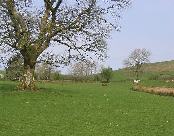
Barmorrow Hill offers beautiful panoramic views of the surrounding countryside, including the rolling hills, farmland, and the nearby coastline. Its location provides visitors with an ideal vantage point to appreciate the natural beauty of the region. The hill is easily accessible, with various footpaths and trails leading to its summit.
The hill itself is primarily composed of grassland, with some rocky outcrops visible in certain areas. It is covered in a patchwork of vegetation, including heather, grasses, and wildflowers, which create a colorful and vibrant scene during the summer months.
Barmorrow Hill holds historical significance, with evidence of ancient settlements and structures present in the vicinity. The area has been inhabited for centuries, and artifacts from different eras have been discovered in the surrounding area.
The hill is a popular destination for hikers, nature enthusiasts, and photographers, who are drawn to its natural beauty and the opportunity to explore the countryside. Whether one is looking for a leisurely stroll or a more challenging hike, Barmorrow Hill offers a range of options for outdoor activities.
In summary, Barmorrow Hill is a picturesque and historically significant hill in Kirkcudbrightshire, Scotland. With its stunning views, diverse vegetation, and accessibility, it provides visitors with an enjoyable and rewarding experience in the heart of the Scottish countryside.
If you have any feedback on the listing, please let us know in the comments section below.
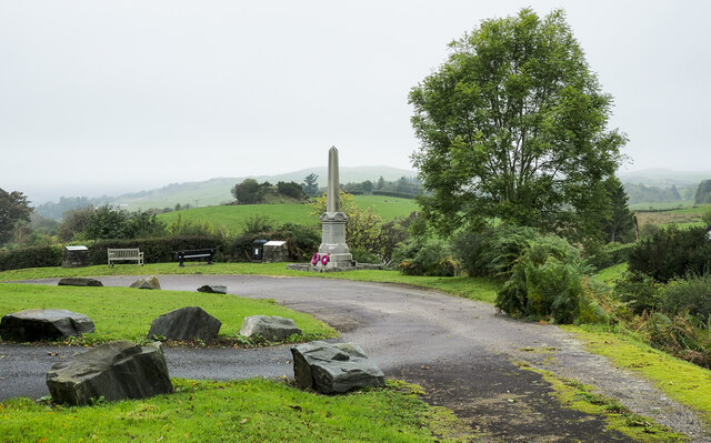
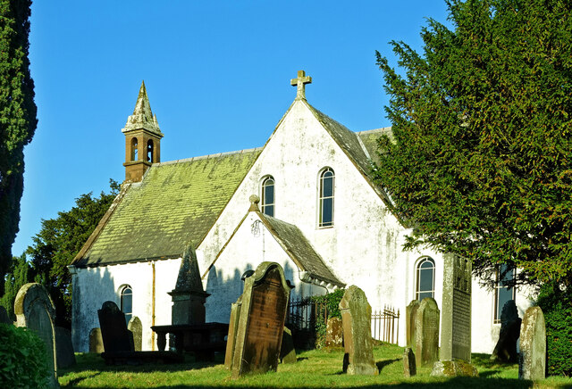
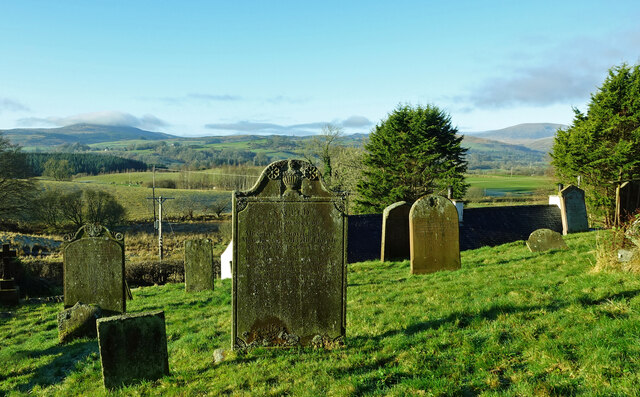
Barmorrow Hill Images
Images are sourced within 2km of 55.089361/-4.0863863 or Grid Reference NX6679. Thanks to Geograph Open Source API. All images are credited.


Barmorrow Hill is located at Grid Ref: NX6679 (Lat: 55.089361, Lng: -4.0863863)
Unitary Authority: Dumfries and Galloway
Police Authority: Dumfries and Galloway
What 3 Words
///increment.decency.snipped. Near Castle Douglas, Dumfries & Galloway
Nearby Locations
Related Wikis

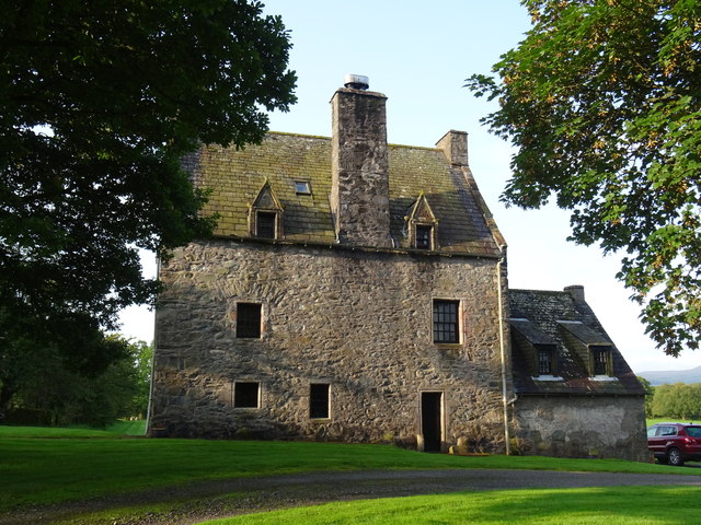
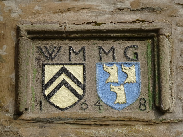
Barscobe Castle
Barscobe Castle is a 17th-century tower house in Balmaclellan, Kirkcudbrightshire, Scotland. It is a typical house of a country laird, and according to...

Balmaclellan
Balmaclellan (Scottish Gaelic: Baile Mac-a-ghille-dhiolan, meaning town of the MacLellans) is a small hillside village of stone houses with slate roofs...

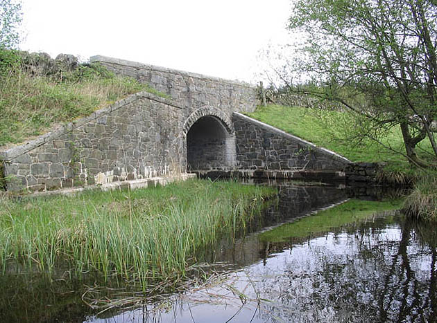
Ken Bridge
The Ken Bridge is a road bridge about 0.8 kilometres (0.5 mi) north east of New Galloway in Dumfries and Galloway, Scotland, which carries the A712 road...

New Galloway
New Galloway (Scottish Gaelic: Gall-Ghàidhealaibh Nuadh) is a town in the historical county of Kirkcudbrightshire in Dumfries and Galloway. It lies on...
Nearby Amenities
Located within 500m of 55.089361,-4.0863863Have you been to Barmorrow Hill?
Leave your review of Barmorrow Hill below (or comments, questions and feedback).