Balwest

Settlement in Cornwall

England

Balwest

OS Cut Mark: Germoe, Larkspur Cottage <span class="nowrap"><a title="https://www.bench-marks.org.uk/bm85462" rel="nofollow ugc noopener" href="https://www.bench-marks.org.uk/bm85462">Link</a><img style="margin-left:2px;" alt="External link" title="External link - shift click to open in new window" src="https://s1.geograph.org.uk/img/external.png" width="10" height="10"/></span>
OS Cut Mark: Germoe, Larkspur Cottage Credit: thejackrustles

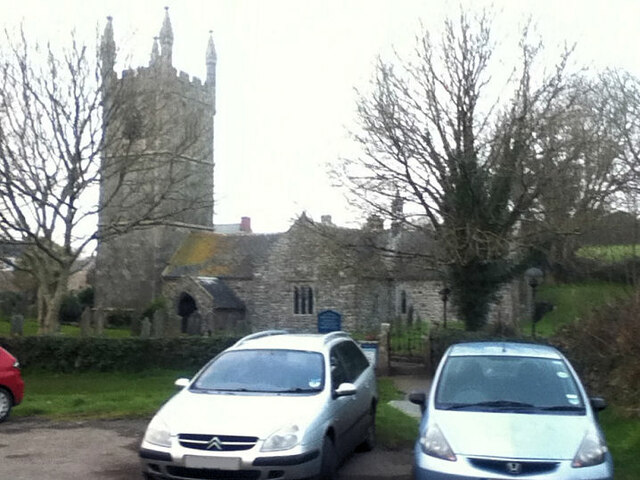
Balwest is a small village located in the civil parish of Breage, within the county of Cornwall, England. Situated approximately 5 miles southwest of the town of Helston, Balwest is nestled in a rural area known for its picturesque landscapes and rich history.

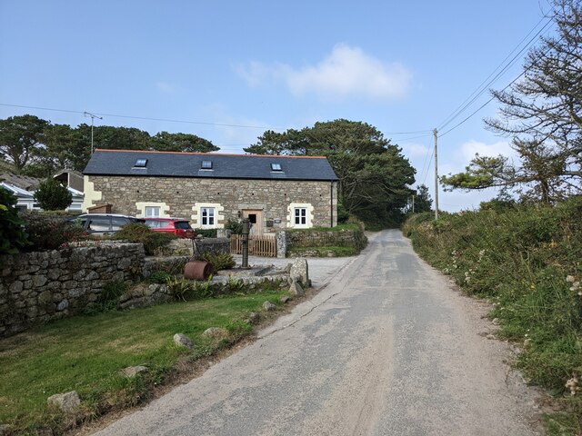
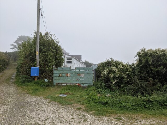
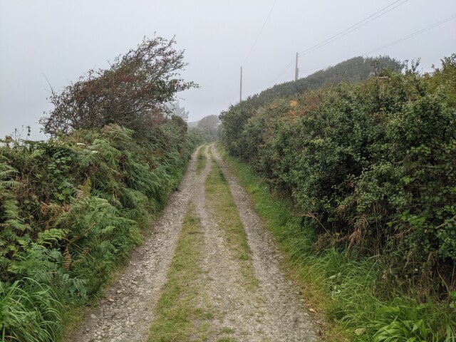
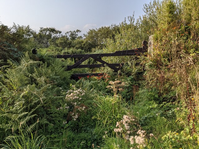
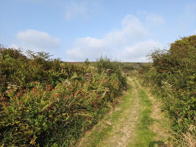
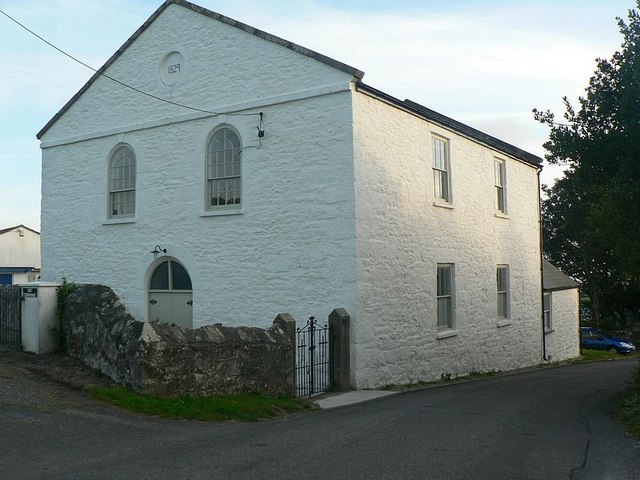
The village is characterized by its traditional stone cottages and charming countryside atmosphere. It is surrounded by rolling hills and farmland, providing a tranquil setting for residents and visitors alike. Balwest is also in close proximity to the stunning Cornish coastline, with popular beaches such as Praa Sands and Porthleven just a short drive away.

Despite its small size, Balwest has a strong sense of community and offers a range of amenities. These include a village hall, a local pub, and a primary school. The nearby town of Helston provides further amenities, including supermarkets, shops, and leisure facilities.

Historically, Balwest was primarily an agricultural community, with farming playing a significant role in the local economy. Today, while agriculture remains important, the village also benefits from tourism, with visitors attracted to its natural beauty and proximity to popular attractions.

Balwest is well-connected to the rest of Cornwall via the A394 road, which runs through the village, and public transportation links are available to nearby towns and cities. Overall, Balwest offers a peaceful retreat in the heart of the Cornish countryside, with a strong community spirit and easy access to both rural and coastal amenities.

If you have any feedback on the listing, please let us know in the comments section below.
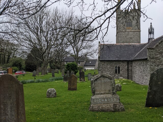
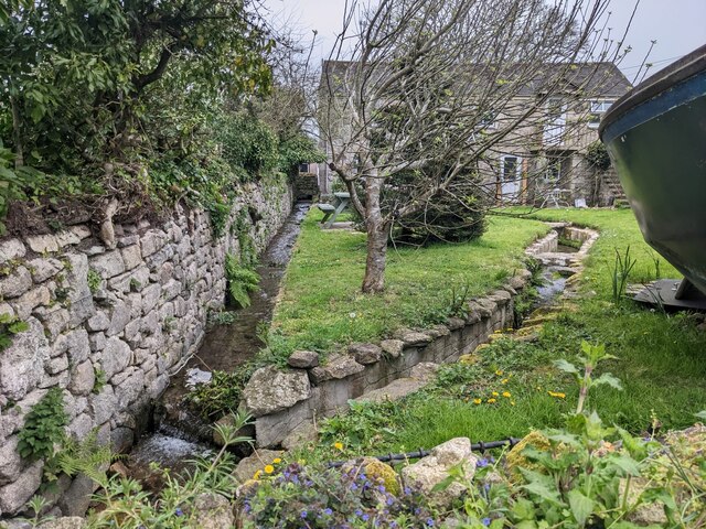
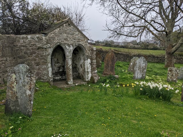
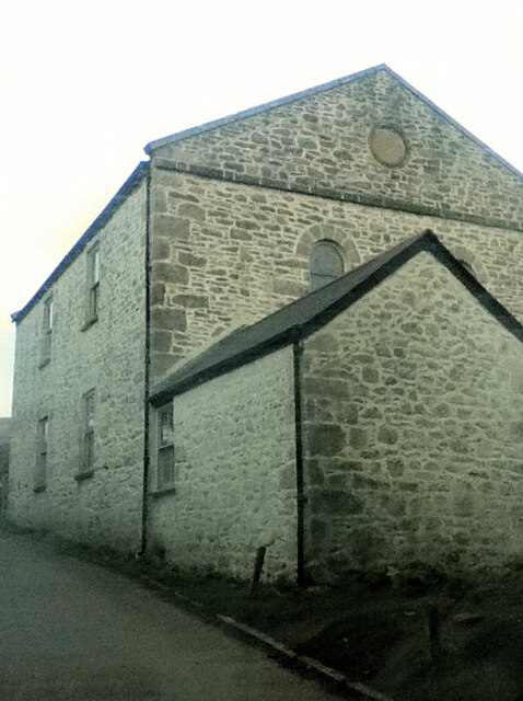
Balwest Images

Images are sourced within 2km of 50.120002/-5.365859 or Grid Reference SW5929. Thanks to Geograph Open Source API. All images are credited.

OS Cut Mark: Germoe, Larkspur Cottage <span class="nowrap"><a title="https://www.bench-marks.org.uk/bm85462" rel="nofollow ugc noopener" href="https://www.bench-marks.org.uk/bm85462">Link</a><img style="margin-left:2px;" alt="External link" title="External link - shift click to open in new window" src="https://s1.geograph.org.uk/img/external.png" width="10" height="10"/></span>
OS Cut Mark: Germoe, Larkspur Cottage
Buildings at Hendra Farm
A patchwork gate beside the lane to Tregonning Hill
The lane from Balwest This well-surfaced lane is classified as a footpath. It seems obvious that this was the lane serving the quarries on Tregonning Hill and should, at the least, be a bridleway. Cornwall Council have now (2021) raised a Definitive Map Modification Order (DMMO) to change its status.
The lane from Balwest
This well-surfaced lane is classified as a footpath. It seems obvious that this was the lane serving the quarries on Tregonning Hill and should, at the least, be a bridleway. Cornwall Council have now (2021) raised a Definitive Map Modification Order (DMMO) to change its status.
The lane to the clay pit Unused and very much overgrown.
The lane to the clay pit
Unused and very much overgrown.
Bridleway near the clay pit pool The pool is only a few yards to the left, but completely hidden by vegetation.
Bridleway near the clay pit pool
The pool is only a few yards to the left, but completely hidden by vegetation.
A rather touching memorial bench on Tregonning Hill
A colourful wall on Hendra Lane
Looking towards Pengersick Castle
Bridleway at Pengersick
Looking east on the Pengersick bridleway
Stream and green space at Germoe
St Germoe's Well
St Germoe's Well
St Germoe's churchyard
Garden streams next to St Germoe's church
St Germoe's Chair Set into the wall of the churchyard.
St Germoe's Chair
Set into the wall of the churchyard.
Balwest Wesleyan Methodist Chapel from 1829
St Germoe Church
St Germoe Church
Show me another place!

Balwest is located at Grid Ref: SW5929 (Lat: 50.120002, Lng: -5.365859)

Unitary Authority: Cornwall

Police Authority: Devon and Cornwall

What 3 Words

///saints.flesh.clincher. Near Germoe, Cornwall

Nearby Locations

Tresowes Green Balwest

Related Wikis

Balwest

Balwest (Cornish: Bal West, meaning Western mine) is a hamlet in the civil parish of Germoe in west Cornwall, England, in the United Kingdom.The hamlet...

Boscreege

Boscreege (Cornish: Boskrug) is a small village in the civil parish of Germoe in west Cornwall, in England, United Kingdom.The village is on the southern...

Tregonning Hill

Tregonning Hill is the westerly of two granite hills overlooking Mount's Bay in west Cornwall, England, United Kingdom, the other being Godolphin Hill...

Great Work Mine

Great Work Mine was a Cornish mine between Godolphin hill and Tregonning Hill and is in the hamlet of Great Work on Bal Lane. Great Work is notable for...

Nearby Amenities

Located within 500m of 50.120002,-5.365859
Balwest
Is In: Cornwall, England, UK
Is In Country: England
Is In Country Code: GB
Is In County: Cornwall
Place: hamlet
Source: npe
Wikidata: Q4853146
Wikipedia: en:Balwest
Lat/Long: 50.1210803/-5.3656238
Pencaire
Historic: archaeological_site
Source: NPE
Lat/Long: 50.1218843/-5.3603844
Germoe War Memorial
Historic: memorial
Lat/Long: 50.1218895/-5.3603649
Tregonning Hill
Ele: 194
Natural: peak
Wikidata: Q7837869
Lat/Long: 50.1218026/-5.3597725
Barrier: yes
Lat/Long: 50.1218069/-5.3685537
Tregonning Hill
Description: OS trig pillar
Height: 194.072
Man Made: survey_point
Note: Accurate location import for imagery offset calibration
Ref: S1722
Source: Ordnance Survey (OGL)
Survey Point: pillar
Lat/Long: 50.1217359/-5.359959
Power: pole
Lat/Long: 50.1163886/-5.3621288
Power: pole
Lat/Long: 50.1165752/-5.3632338
Power: pole
Lat/Long: 50.1168512/-5.3648365
Power: pole
Lat/Long: 50.1171316/-5.3654319
Power: pole
Lat/Long: 50.1176527/-5.3666121
Power: pole
Lat/Long: 50.1182581/-5.3679076
Power: pole
Lat/Long: 50.1187603/-5.3690341
Power: pole
Lat/Long: 50.119284/-5.3702062
Power: pole
Lat/Long: 50.120094/-5.3707588
Power: pole
Lat/Long: 50.1217484/-5.3718987
The data included in this document is from www.openstreetmap.org. The data is made available under ODbL.

Have you been to Balwest?

Leave your review of Balwest below (or comments, questions and feedback).