Abertrinant
Settlement in Merionethshire
Wales
Abertrinant
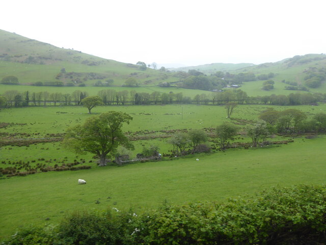
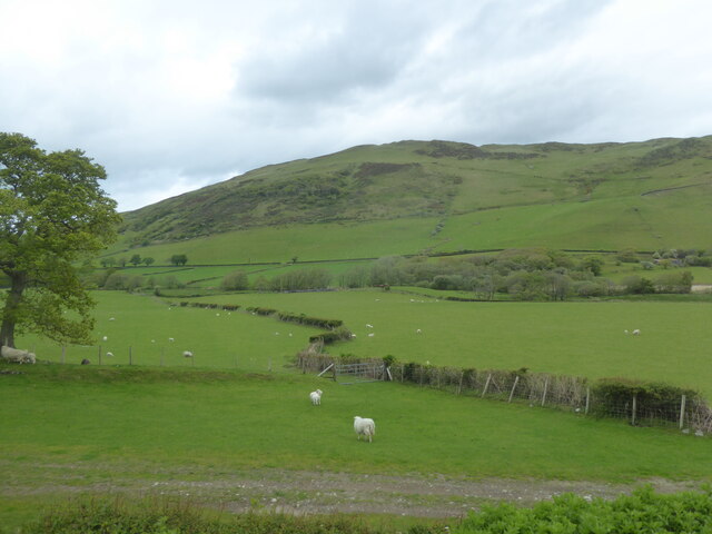
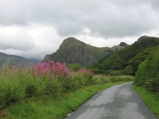
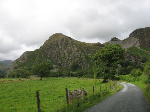
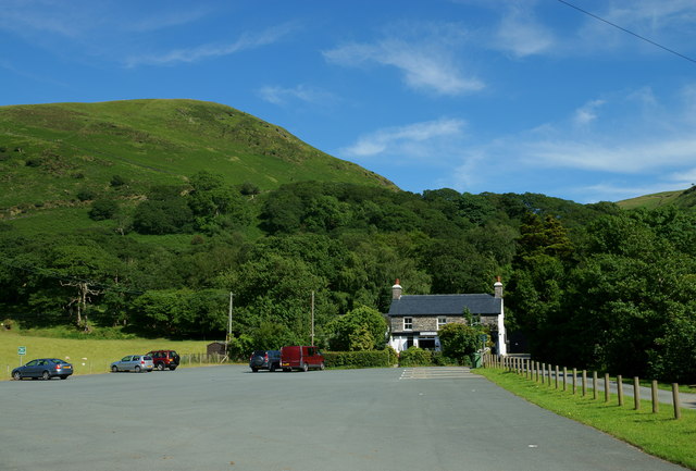
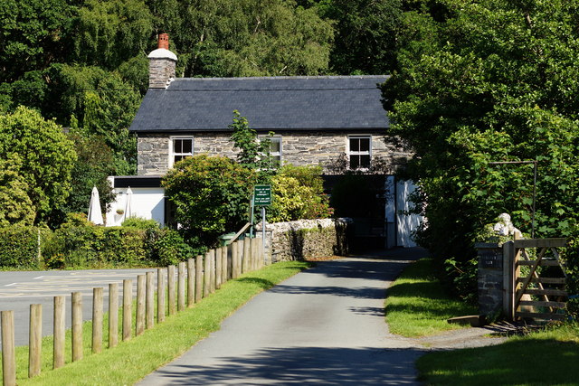
Abertrinant is a small village located in the county of Merionethshire, in Wales, United Kingdom. Situated in the scenic Snowdonia National Park, the village is surrounded by breathtaking natural beauty, making it a popular destination for outdoor enthusiasts and nature lovers.
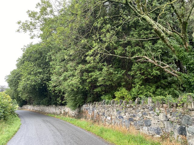
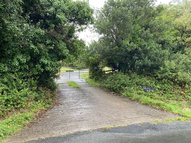
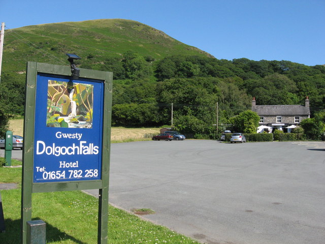
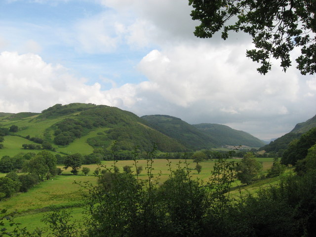
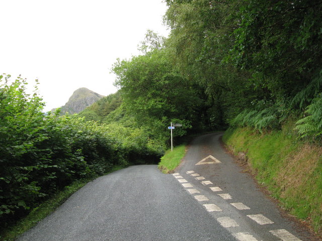
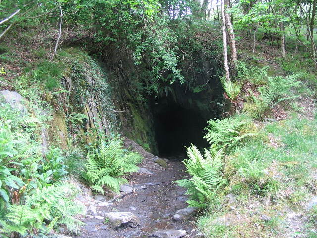
The village is positioned on the banks of the Afon Trinant River, which flows through its heart, adding to its picturesque charm. Abertrinant is known for its tranquil and idyllic setting, with rolling hills, lush green meadows, and dense forests encompassing the area. The stunning landscape offers a range of recreational activities such as hiking, walking, and birdwatching, attracting visitors throughout the year.
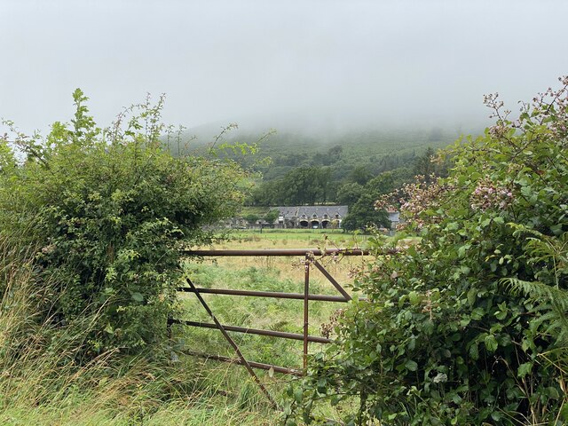
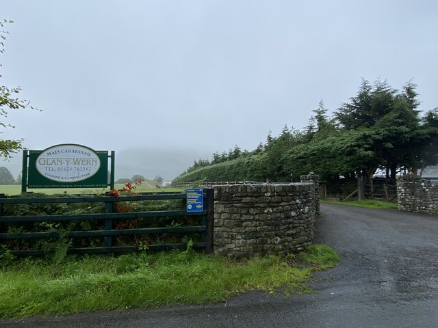
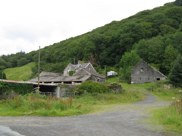
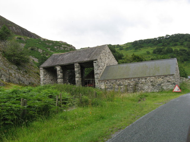
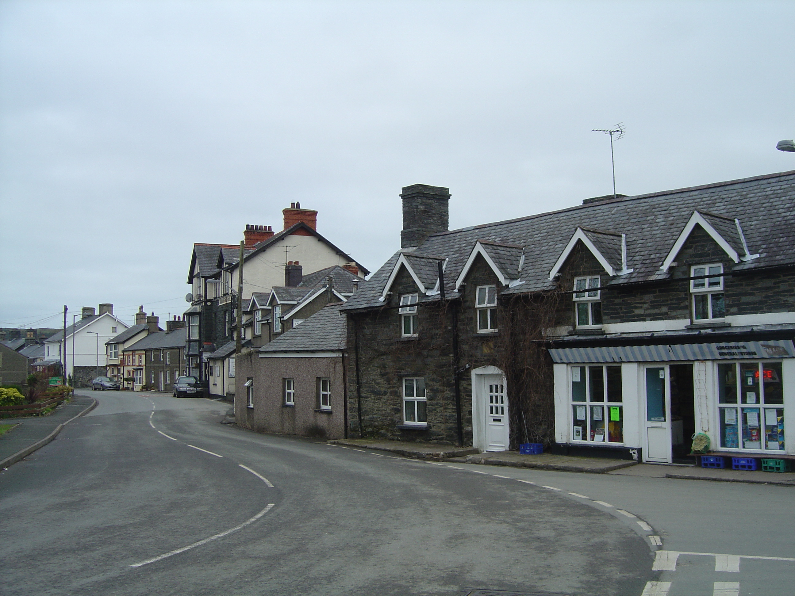
Although small in size, Abertrinant has a close-knit community, known for its warm and welcoming nature. The village features a few local amenities, including a traditional pub, a village hall, and a small convenience store, ensuring residents have access to essential services.
Historically, Abertrinant was primarily an agricultural community, with farming being the main occupation for many locals. However, in recent years, the village has seen an increase in tourism, as more people discover its natural beauty and serene atmosphere.
Overall, Abertrinant offers a peaceful retreat from the hustle and bustle of city life, with its stunning landscapes, friendly community, and opportunities for outdoor activities. It is a hidden gem in Merionethshire, providing visitors with an authentic Welsh countryside experience.
If you have any feedback on the listing, please let us know in the comments section below.
Abertrinant Images
Images are sourced within 2km of 52.625422/-4.0254259 or Grid Reference SH6305. Thanks to Geograph Open Source API. All images are credited.
Abertrinant is located at Grid Ref: SH6305 (Lat: 52.625422, Lng: -4.0254259)
Unitary Authority: Gwynedd
Police Authority: North Wales
What 3 Words
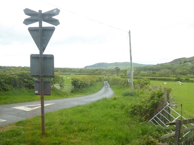
///towers.angry.survived. Near Tywyn, Gwynedd
Nearby Locations
Related Wikis

Abertrinant
Abertrinant is a small settlement in Gwynedd, Wales. It is 7 kilometres (4 mi) northeast of the town of Tywyn. == External links == www.geograph.co.uk...

Peniarth
Peniarth is a village in the community of Meifod, Powys, Wales. It is 87.1 miles (140.2 km) from Cardiff and 156.9 miles (252.5 km) from London. It is...

Brynglas railway station
Brynglas railway station (also known as Bryn-glas railway station) is a request stop on the Talyllyn Railway, serving the hamlet of Pandy near Bryn-crug...

Dolgoch railway station
Dolgoch railway station (also known as Dol-goch railway station, Dol-gôch railway station, or Dolgoch Falls railway station) is a station on the Talyllyn...
Dolgoch quarry, Gwynedd
Dolgoch slate quarry (also spelt Dol-goch slate quarry or Dol-gôch slate quarry) was a slate quarry in Mid Wales, approximately halfway between Bryn-crug...

Craig yr Aderyn
Craig yr Aderyn, also known as Bird's Rock, is a hill rising to a height of 258 metres (846 ft) above sea level on the south bank of the River Dysynni...

Dolgoch Falls
The Dolgoch Falls (also known as the Dol-goch falls, or the Dôl-goch falls (English: 'red meadow falls') are a series of three waterfalls near Tywyn in...
Bryncrug
Bryncrug (), sometimes spelt Bryn-crug, is a village and community in Gwynedd, Wales. Afon Fathew flows through the village and into the River Dysynni...
Nearby Amenities
Located within 500m of 52.625422,-4.0254259Have you been to Abertrinant?
Leave your review of Abertrinant below (or comments, questions and feedback).