Gamallt
Hill, Mountain in Merionethshire
Wales
Gamallt
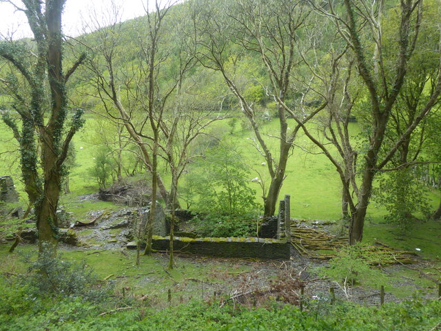
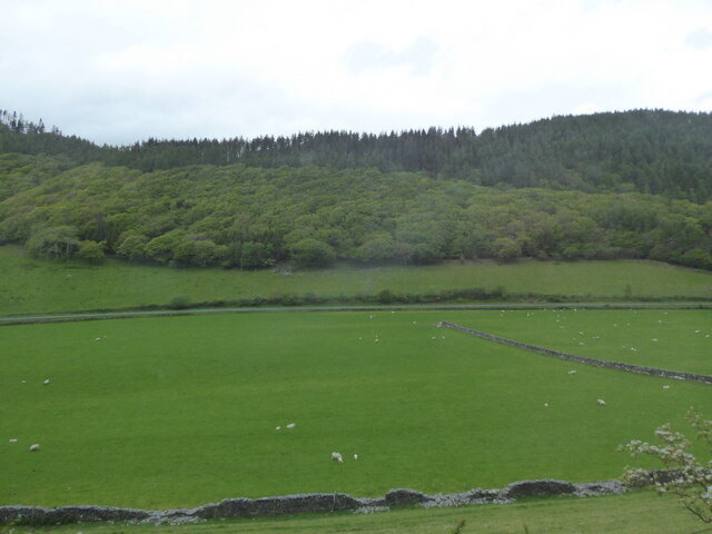
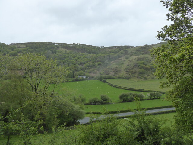
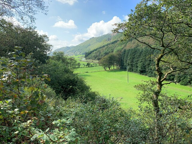
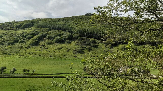
Gamallt is a prominent hill located in the county of Merionethshire, Wales. Rising to an elevation of approximately 1,394 feet (425 meters), it is a notable landmark in the region. Situated within the Snowdonia National Park, Gamallt offers stunning panoramic views of the surrounding countryside, making it a popular destination for hikers, nature enthusiasts, and photographers.
The hill is characterized by its rugged terrain, covered in heather, grasses, and scattered rocks. Its slopes are moderately steep, providing a challenging yet rewarding experience for outdoor adventurers. The summit of Gamallt is marked by a cairn, a small pile of stones, which serves as a navigational aid and a point of interest for visitors.
The hill is home to a diverse range of flora and fauna, showcasing the natural beauty of the area. Wildflowers, including bluebells and heather, dot the landscape, adding vibrant splashes of color. The hillside also provides a habitat for various bird species, such as red kites, buzzards, and ravens, making it an ideal spot for birdwatching.
Gamallt is easily accessible, with several footpaths and trails leading to its summit. The most popular route starts from a nearby village, offering a moderate hike that can be completed in a few hours. Along the way, walkers can enjoy the breathtaking scenery, including breathtaking views of the nearby mountains and valleys.
Overall, Gamallt in Merionethshire is a picturesque hill that offers a captivating natural environment and a chance to immerse oneself in the beauty of the Welsh countryside.
If you have any feedback on the listing, please let us know in the comments section below.
Gamallt Images
Images are sourced within 2km of 52.642173/-3.9737575 or Grid Reference SH6606. Thanks to Geograph Open Source API. All images are credited.
Gamallt is located at Grid Ref: SH6606 (Lat: 52.642173, Lng: -3.9737575)
Unitary Authority: Gwynedd
Police Authority: North Wales
What 3 Words
///boards.enforced.empires. Near Corris, Gwynedd
Nearby Locations
Related Wikis
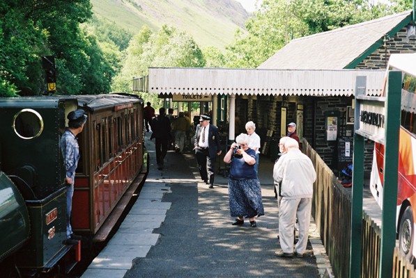
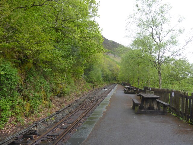
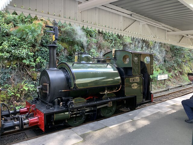
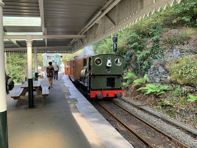
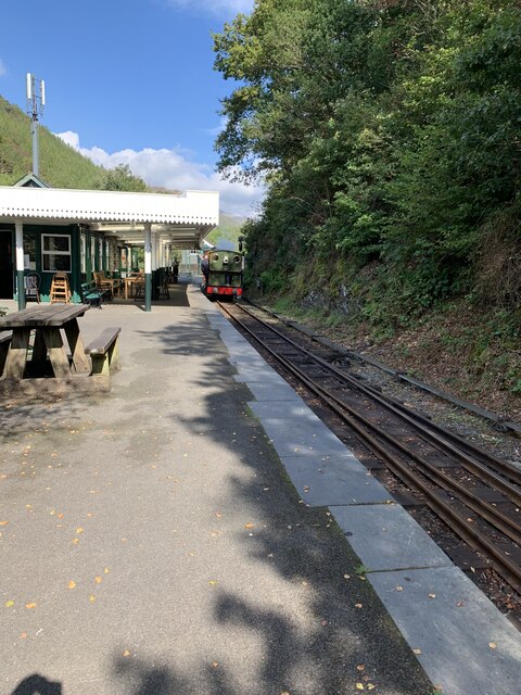
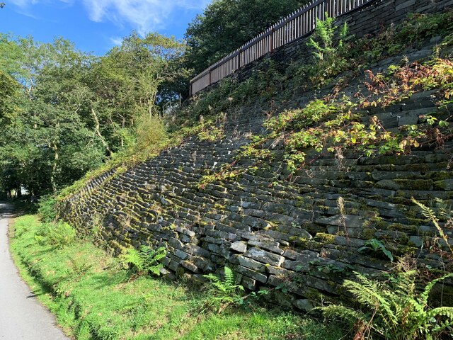
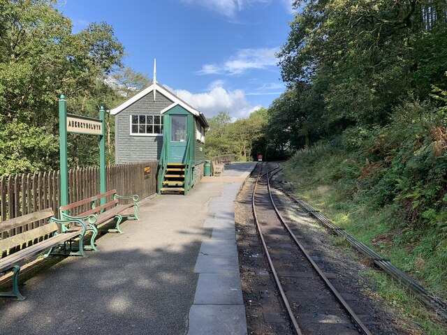
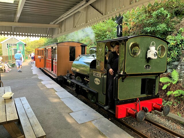
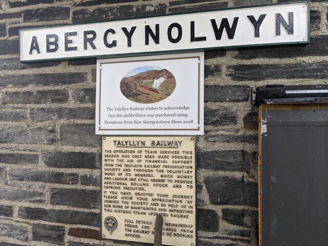
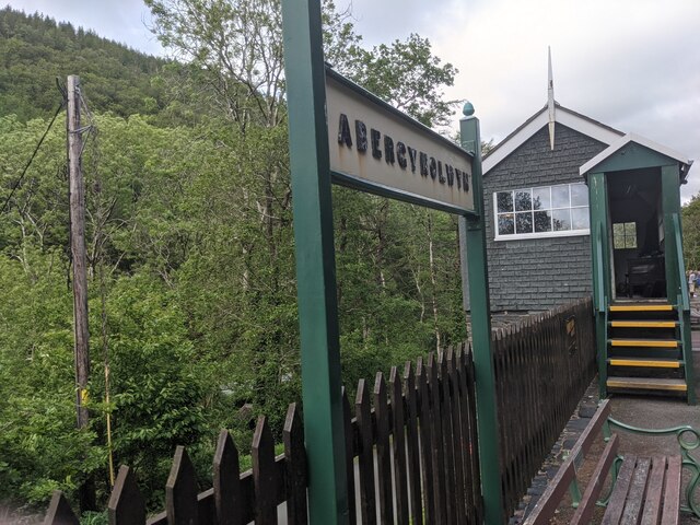
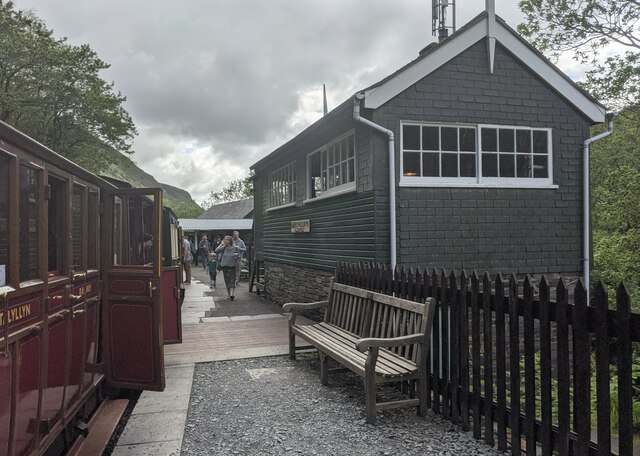
Abergynolwyn railway station
Abergynolwyn railway station is a station on the Talyllyn Railway near Abergynolwyn, Gwynedd, in Mid-Wales. It is 6.55 miles (10.54 km) from Tywyn Wharf...

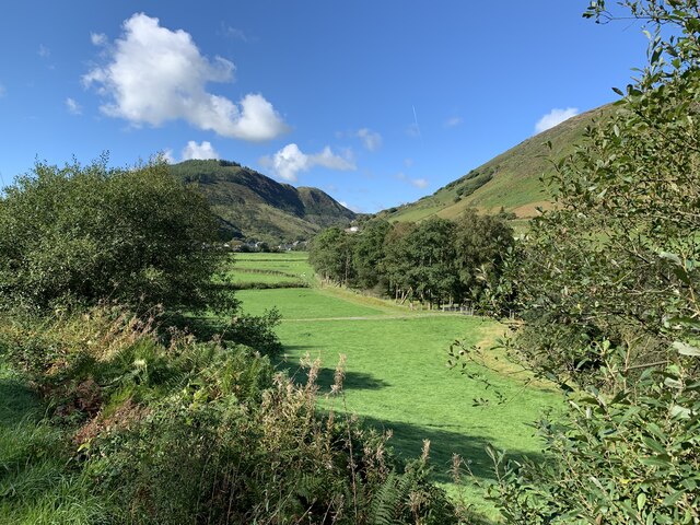
Abergynolwyn
Abergynolwyn (English: Mouth of the River with a Whirlpool) is a village in southern Gwynedd, Wales, located at the confluence of the Nant Gwernol and...

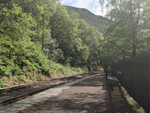
Nant Gwernol railway station
Nant Gwernol railway station is the eastern terminus of the Talyllyn Railway near Abergynolwyn, Gwynedd in mid-Wales. It is 7 miles, 28 chains (11.83...
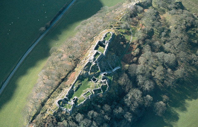
Castell y Bere
Castell y Bere is a Welsh castle near Llanfihangel-y-pennant in Gwynedd, Wales. Constructed by Llywelyn the Great in the 1220s, the stone castle was intended...

Craig yr Aderyn
Craig yr Aderyn, also known as Bird's Rock, is a hill rising to a height of 258 metres (846 ft) above sea level on the south bank of the River Dysynni...

Llanfihangel-y-Pennant
Llanfihangel-y-Pennant is a hamlet and wider, very sparsely populated community (which includes Abergynolwyn and Tal-y-llyn) in the Meirionnydd area of...

Dolgoch railway station
Dolgoch railway station (also known as Dol-goch railway station, Dol-gôch railway station, or Dolgoch Falls railway station) is a station on the Talyllyn...

Dolgoch Falls
The Dolgoch Falls (also known as the Dol-goch falls, or the Dôl-goch falls (English: 'red meadow falls') are a series of three waterfalls near Tywyn in...
Nearby Amenities
Located within 500m of 52.642173,-3.9737575Have you been to Gamallt?
Leave your review of Gamallt below (or comments, questions and feedback).