White Hill
Hill, Mountain in Kirkcudbrightshire
Scotland
White Hill
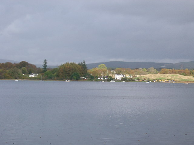
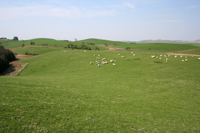
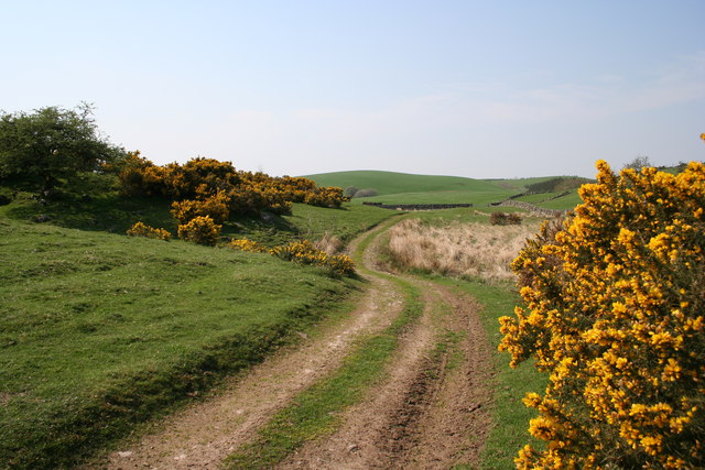
White Hill is a prominent hill located in Kirkcudbrightshire, Scotland. It is situated near the town of Kirkcudbright and is part of the Galloway Hills range. Standing at an elevation of 232 meters (761 feet), White Hill offers stunning panoramic views of the surrounding countryside and coastline.
The hill is popular among hikers and outdoor enthusiasts, with several well-marked trails leading to the summit. The climb is considered to be moderate in difficulty, making it accessible to hikers of all skill levels. Along the way, visitors can enjoy the diverse flora and fauna that call the hill home, including heather, wildflowers, and various bird species.
At the summit, hikers are rewarded with breathtaking views of the rolling hills of Galloway, the Solway Firth, and even the distant peaks of the Lake District in England on a clear day. The peaceful and tranquil atmosphere at the top of White Hill makes it a perfect spot for a picnic or simply to relax and take in the natural beauty of the area.
Overall, White Hill is a must-visit destination for those seeking a scenic and rewarding outdoor adventure in Kirkcudbrightshire.
If you have any feedback on the listing, please let us know in the comments section below.
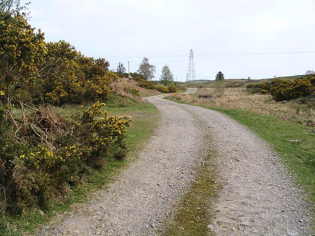
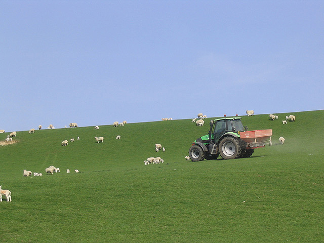
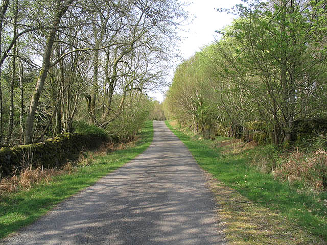
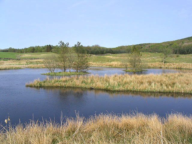
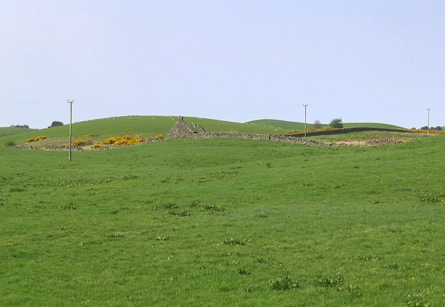
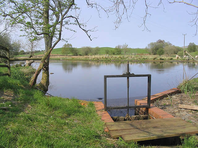
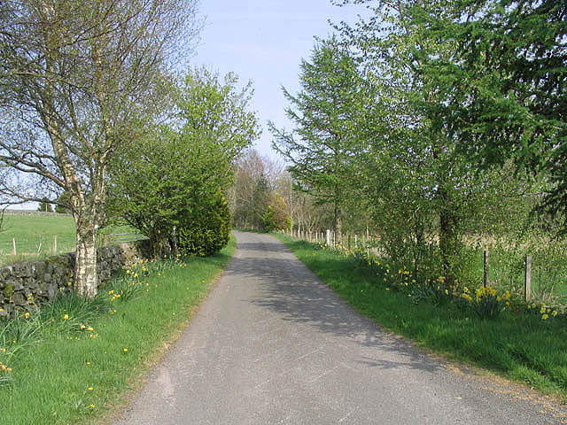
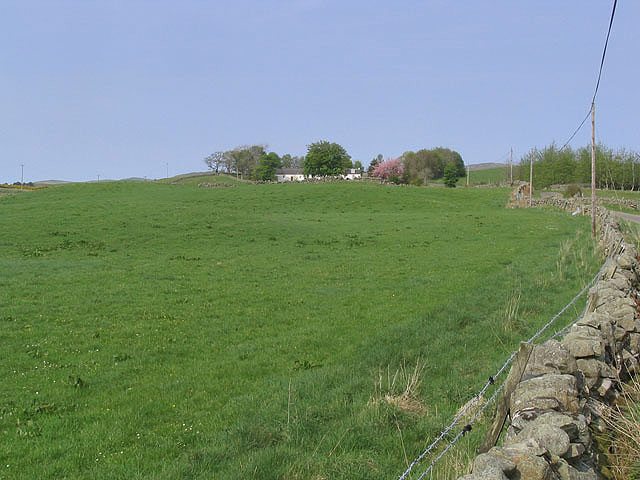
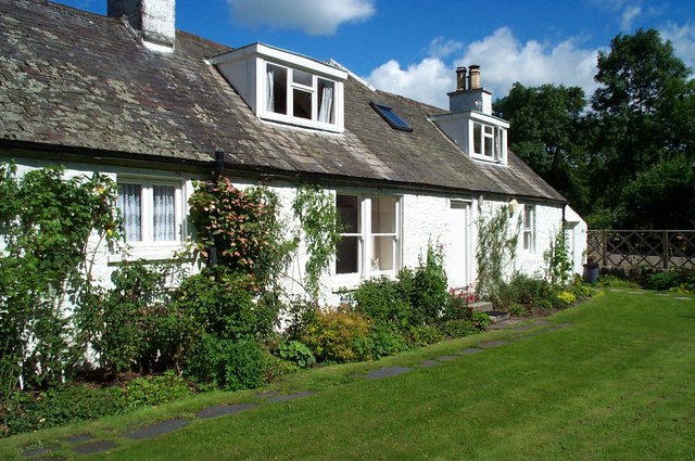
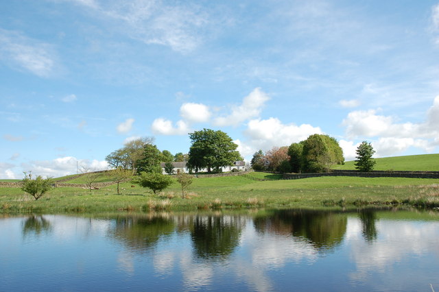
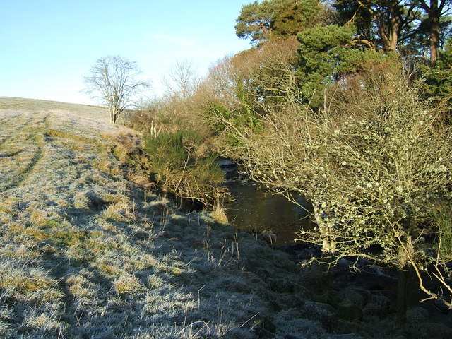
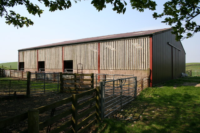
White Hill Images
Images are sourced within 2km of 55.055244/-4.0909834 or Grid Reference NX6675. Thanks to Geograph Open Source API. All images are credited.
White Hill is located at Grid Ref: NX6675 (Lat: 55.055244, Lng: -4.0909834)
Unitary Authority: Dumfries and Galloway
Police Authority: Dumfries and Galloway
What 3 Words
///birthdays.compiler.member. Near Castle Douglas, Dumfries & Galloway
Nearby Locations
Related Wikis

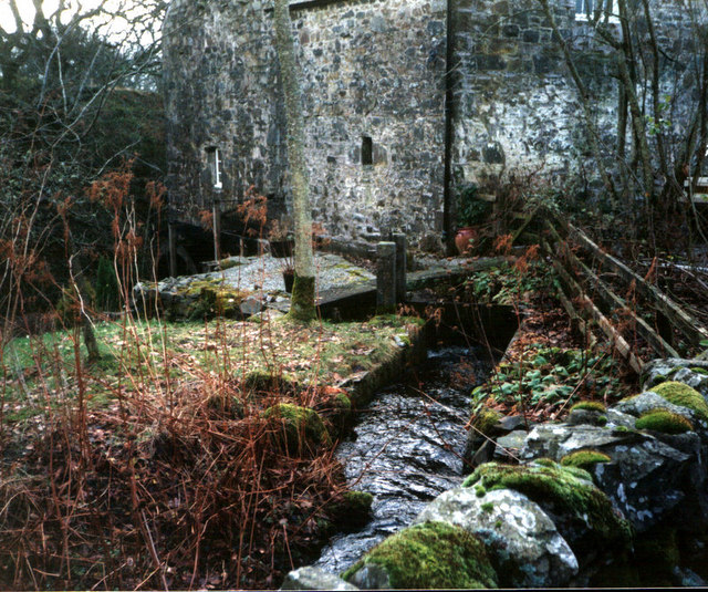
Ironmacannie Mill
Ironmacannie Mill is a historic watermill near Balmaclellan in Dumfries and Galloway, Scotland. Built in the 18th and 19th centuries, on the site of an...

Galloway
Galloway (Scottish Gaelic: Gall-Ghàidhealaibh [ˈkal̪ˠaɣəl̪ˠu]; Scots: Gallowa; Latin: Gallovidia) is a region in southwestern Scotland comprising the historic...

Kenmure Castle
Kenmure Castle is a fortified house or castle in The Glenkens, 1 mile (1.6 km) south of the town of New Galloway in Kirkcudbrightshire, Galloway, south...

New Galloway
New Galloway (Scottish Gaelic: Gall-Ghàidhealaibh Nuadh) is a town in the historical county of Kirkcudbrightshire in Dumfries and Galloway. It lies on...
Nearby Amenities
Located within 500m of 55.055244,-4.0909834Have you been to White Hill?
Leave your review of White Hill below (or comments, questions and feedback).