Shawknowes Moor
Downs, Moorland in Kirkcudbrightshire
Scotland
Shawknowes Moor
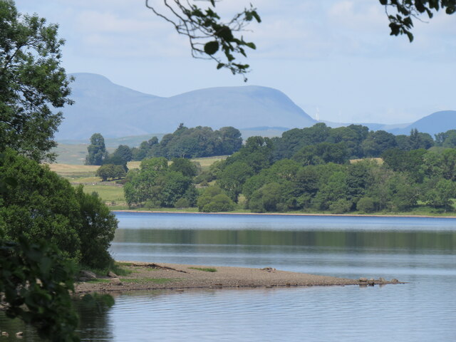
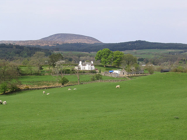
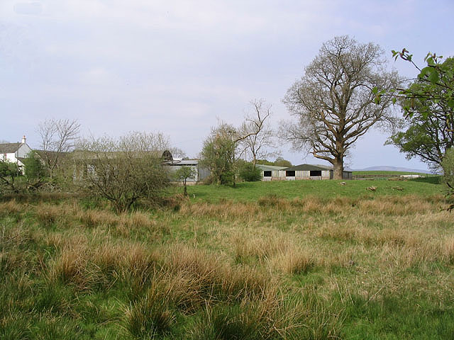
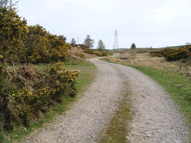
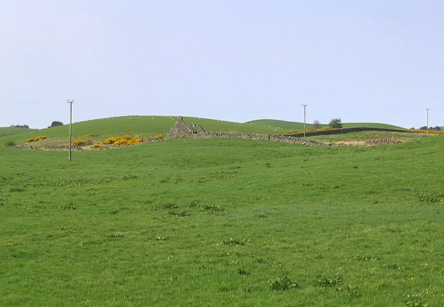
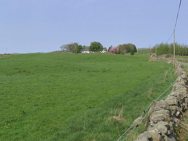
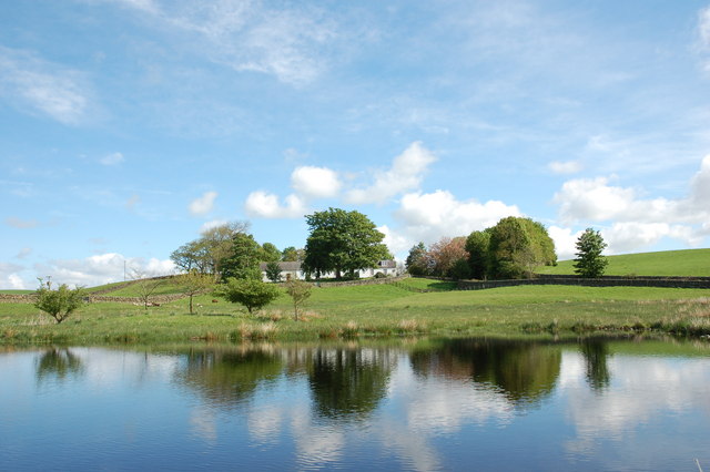
Shawknowes Moor is a vast expanse of downs and moorland located in Kirkcudbrightshire, Scotland. Situated in the southern part of the country, this picturesque area covers a significant area of approximately 2,000 acres. The moor is known for its rugged beauty, characterized by rolling hills, heather-covered landscapes, and a diverse range of flora and fauna.
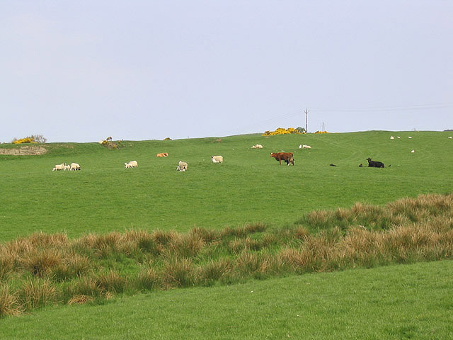
The moorland is a haven for wildlife enthusiasts and nature lovers. It is home to a variety of bird species, including red grouse, skylarks, and curlews, which can be spotted throughout the year. The heather-clad hills provide a vibrant and colorful backdrop, with the purple hues of the flowering heather creating a stunning sight during the summer months.
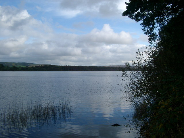
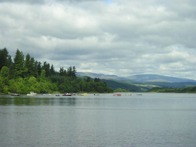
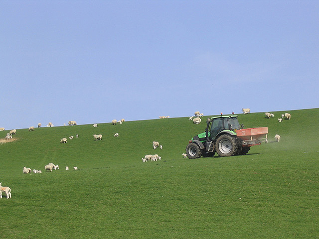
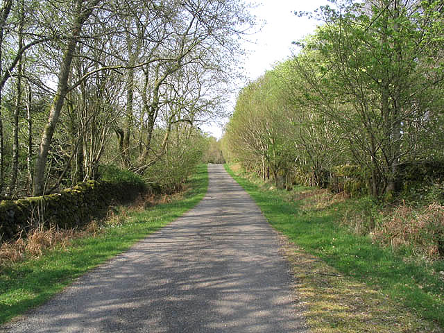
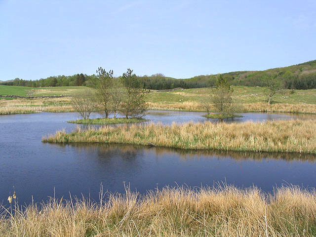
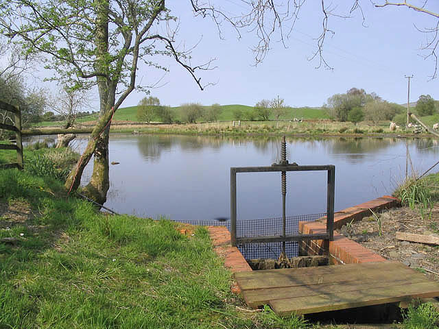
Visitors to Shawknowes Moor can enjoy a range of outdoor activities, such as hiking, birdwatching, and photography. The undulating terrain offers several walking trails, allowing visitors to explore the area at their own pace. The moorland is also interspersed with sparkling streams and small lochs, providing opportunities for fishing and wildlife observation.
The moorland has historical significance as well. It is believed to have been inhabited since prehistoric times, with remnants of ancient settlements and burial sites scattered throughout the area. These archaeological sites attract history enthusiasts and researchers interested in uncovering the secrets of the past.
Shawknowes Moor offers a tranquil and untouched natural environment, providing a peaceful retreat for those seeking solace amidst the beauty of nature. With its diverse wildlife, stunning landscapes, and rich history, this moorland is a must-visit destination for anyone exploring Kirkcudbrightshire.
If you have any feedback on the listing, please let us know in the comments section below.
Shawknowes Moor Images
Images are sourced within 2km of 55.05273/-4.0955649 or Grid Reference NX6675. Thanks to Geograph Open Source API. All images are credited.

Shawknowes Moor is located at Grid Ref: NX6675 (Lat: 55.05273, Lng: -4.0955649)
Unitary Authority: Dumfries and Galloway
Police Authority: Dumfries and Galloway
What 3 Words
///zoomed.tumblers.quieter. Near Castle Douglas, Dumfries & Galloway
Nearby Locations
Related Wikis

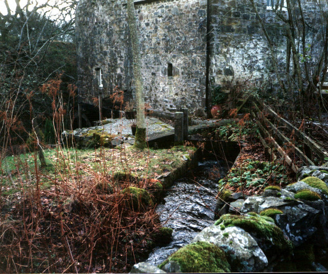
Ironmacannie Mill
Ironmacannie Mill is a historic watermill near Balmaclellan in Dumfries and Galloway, Scotland. Built in the 18th and 19th centuries, on the site of an...

Galloway
Galloway (Scottish Gaelic: Gall-Ghàidhealaibh [ˈkal̪ˠaɣəl̪ˠu]; Scots: Gallowa; Latin: Gallovidia) is a region in southwestern Scotland comprising the historic...

Kenmure Castle
Kenmure Castle is a fortified house or castle in The Glenkens, 1 mile (1.6 km) south of the town of New Galloway in Kirkcudbrightshire, Galloway, south...

New Galloway
New Galloway (Scottish Gaelic: Gall-Ghàidhealaibh Nuadh) is a town in the historical county of Kirkcudbrightshire in Dumfries and Galloway. It lies on...
Nearby Amenities
Located within 500m of 55.05273,-4.0955649Have you been to Shawknowes Moor?
Leave your review of Shawknowes Moor below (or comments, questions and feedback).