Auchreoch Hill

Hill, Mountain in Kirkcudbrightshire

Scotland

Auchreoch Hill

War memorial above Balmaclellan Balmaclellan's war memorial is on the north side of the A712 above the small settlement which is out of view.
War memorial above Balmaclellan Credit: Trevor Littlewood

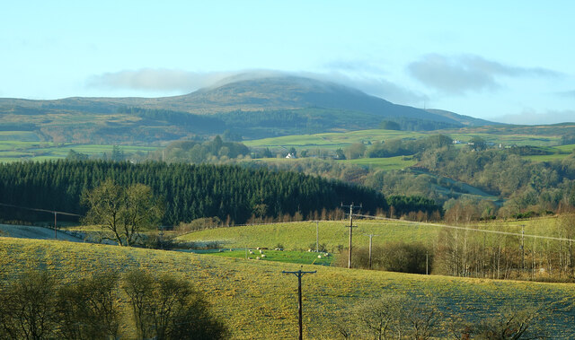
Auchreoch Hill, located in Kirkcudbrightshire, Scotland, is a prominent hill that rises to an elevation of 343 meters (1,125 feet) above sea level. It is situated approximately 4 kilometers southwest of the town of Gatehouse of Fleet. The hill is part of the Galloway Hills, a range known for its picturesque landscape and diverse flora and fauna.

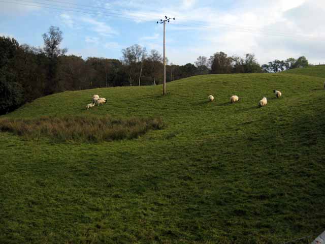
Auchreoch Hill is characterized by its gently sloping sides and a rounded summit, which offers breathtaking panoramic views of the surrounding countryside. The hill is covered in heather and grasses, creating a colorful spectacle during the summer months. It is also home to a variety of bird species, including the red grouse and the northern wheatear, making it a popular destination for birdwatchers.

Auchreoch Hill is easily accessible by foot, with several well-defined paths leading to the summit. The most common route begins near the village of Girthon, where there is a car park available for visitors. From there, a well-maintained trail leads hikers through a mixture of woodlands and open moorland, eventually reaching the summit. The walk is of moderate difficulty, and it takes approximately 2-3 hours to complete the round trip.

Overall, Auchreoch Hill offers outdoor enthusiasts a chance to immerse themselves in the natural beauty of Kirkcudbrightshire. With its stunning views, diverse wildlife, and accessible hiking trails, it is a popular destination for locals and visitors alike seeking a peaceful and enjoyable outdoor experience.

If you have any feedback on the listing, please let us know in the comments section below.

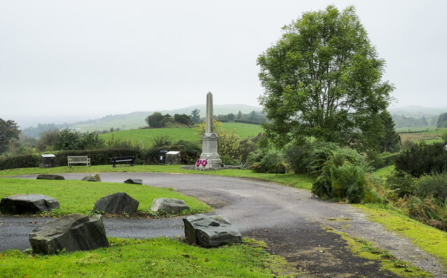
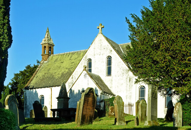
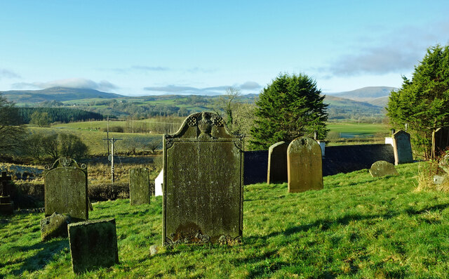
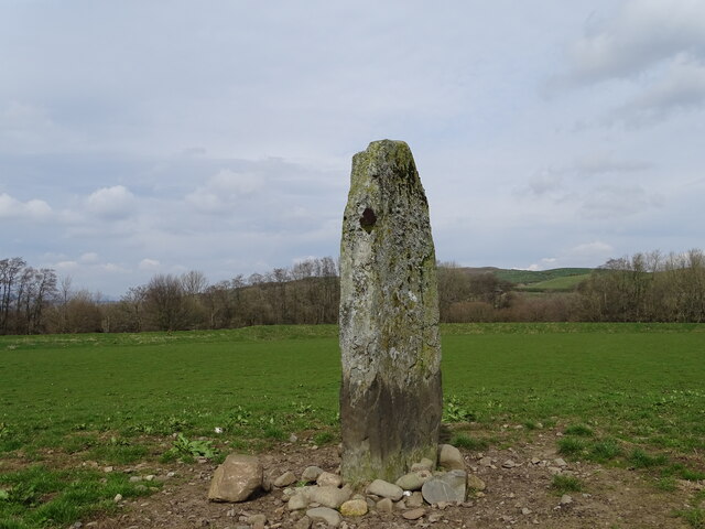
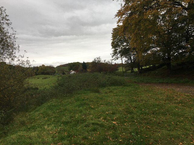
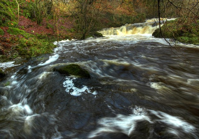
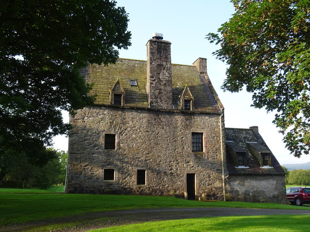
Auchreoch Hill Images

Images are sourced within 2km of 55.089394/-4.1053965 or Grid Reference NX6579. Thanks to Geograph Open Source API. All images are credited.

War memorial above Balmaclellan Balmaclellan's war memorial is on the north side of the A712 above the small settlement which is out of view.
War memorial above Balmaclellan
Balmaclellan's war memorial is on the north side of the A712 above the small settlement which is out of view.
Balmaclellan Church Many of these churches in small rural communities have monthly Sunday services. Balmaclellan’s turn is the first Sunday of each month.
Balmaclellan Church
Many of these churches in small rural communities have monthly Sunday services. Balmaclellan’s turn is the first Sunday of each month.
Balmaclellan Graveyard The gravestones show that this is a very old religious site with burials recorded in the early 18th century.
Balmaclellan Graveyard
The gravestones show that this is a very old religious site with burials recorded in the early 18th century.
Balmaclellan Graveyard view There can’t be many churches that enjoy such a wonderful view of the local countryside. Mulloch Hill is shown on the skyline.
Balmaclellan Graveyard view
There can’t be many churches that enjoy such a wonderful view of the local countryside. Mulloch Hill is shown on the skyline.
Dalarran Standing Stone The standing stone of Dalarran.
Dalarran Standing Stone
The standing stone of Dalarran.
Farmland near Garplefoot
Parking area beside the A713 near New Galloway
Field with sheep above the Garple Burn Seen from the B7075 Bogue to New Galloway road.
Field with sheep above the Garple Burn
Seen from the B7075 Bogue to New Galloway road.
Old Road Sign. Warning sign giving advance notice of the narrow bridge spanning the Garple Burn.
Old Road Sign.
Warning sign giving advance notice of the narrow bridge spanning the Garple Burn.
Holy Linn, Garple Burn. In Covenanting times this waterfall was used for baptism, hence the name.
Holy Linn, Garple Burn.
In Covenanting times this waterfall was used for baptism, hence the name.
Track leading towards Barscobe, Balmaclellan.
Holy Linn Waterfall, During Flood Conditions
Holy Linn Waterfall, Downstream
The summit cairn on Barscobe Hill The white marked stones on the top of the cairn indicates that this is a favourite perch for birds of prey.
The summit cairn on Barscobe Hill
The white marked stones on the top of the cairn indicates that this is a favourite perch for birds of prey.
Holy Linn Waterfall This small waterfall on the Garple Burn was used as a place of worship by the Covenanters.
Holy Linn Waterfall
This small waterfall on the Garple Burn was used as a place of worship by the Covenanters.
Barscobe Castle Balmaclellan Kirkcudbrightshire Scotland Seventeenth Century tower house.
Barscobe Castle Balmaclellan Kirkcudbrightshire Scotland
Seventeenth Century tower house.
Barscobe Castle Balmaclellan Kirkcudbrightshire Scotland Seventeenth Century Tower House.
Barscobe Castle Balmaclellan Kirkcudbrightshire Scotland
Seventeenth Century Tower House.
Barscobe Castle Balmaclellan Kirkcudbrightshire Scotland Armorial panel bearing the arms of Maclellan and Gordon with the initials of the builder of the castle William Maclellan and his wife Mary Gordon. Situated above the main door.
Barscobe Castle Balmaclellan Kirkcudbrightshire Scotland
Armorial panel bearing the arms of Maclellan and Gordon with the initials of the builder of the castle William Maclellan and his wife Mary Gordon. Situated above the main door.
Show me another place!

Auchreoch Hill is located at Grid Ref: NX6579 (Lat: 55.089394, Lng: -4.1053965)

Unitary Authority: Dumfries and Galloway

Police Authority: Dumfries and Galloway

What 3 Words

///smoothly.field.artichoke. Near Castle Douglas, Dumfries & Galloway

Related Wikis

Balmaclellan

Balmaclellan (Scottish Gaelic: Baile Mac-a-ghille-dhiolan, meaning town of the MacLellans) is a small hillside village of stone houses with slate roofs...

Barscobe Castle

Barscobe Castle is a 17th-century tower house in Balmaclellan, Kirkcudbrightshire, Scotland. It is a typical house of a country laird, and according to...

Ken Bridge

The Ken Bridge is a road bridge about 0.8 kilometres (0.5 mi) north east of New Galloway in Dumfries and Galloway, Scotland, which carries the A712 road...

Kells, Dumfries and Galloway

Kells parish, in the Stewartry of Kirkcudbright in Scotland, is located 14 miles (NWbN) from Castle-Douglas, and 19 miles (NbW) from Kirkcudbright. It...

Nearby Amenities

Located within 500m of 55.089394,-4.1053965
Tourism: information
Lat/Long: 55.0885146/-4.1090754
Tourism: information
Lat/Long: 55.0885789/-4.1089675
Shop: yes
Lat/Long: 55.0884261/-4.1121397
Balmaclellan
Name Gd: Baile MhicIllFhaolain
Place: village
Wikidata: Q4852330
Wikipedia: en:Balmaclellan
Lat/Long: 55.0883188/-4.111767
Power: pole
Lat/Long: 55.0901951/-4.1120825
Power: pole
Lat/Long: 55.0892704/-4.1115117
Power: pole
Lat/Long: 55.0904118/-4.1108679
Power: pole
Lat/Long: 55.0906046/-4.1096482
Power: pole
Lat/Long: 55.0907901/-4.1084438
Power: pole
Lat/Long: 55.090939/-4.1075864
Power: pole
Lat/Long: 55.0917997/-4.1071272
Power: pole
Lat/Long: 55.0915746/-4.1074787
Power: pole
Lat/Long: 55.0920139/-4.1068172
Power: pole
Lat/Long: 55.092528/-4.1060919
Power: pole
Lat/Long: 55.0932999/-4.1050099
Power: pole
Lat/Long: 55.0932831/-4.1068918
Power: pole
Lat/Long: 55.0880908/-4.106125
Power: pole
Lat/Long: 55.0875473/-4.105271
Power: pole
Lat/Long: 55.0869503/-4.1043108
Power: pole
Lat/Long: 55.0864433/-4.1034992
Power: pole
Lat/Long: 55.0859192/-4.1026622
Power: pole
Lat/Long: 55.0853976/-4.1018464
The data included in this document is from www.openstreetmap.org. The data is made available under ODbL.

Have you been to Auchreoch Hill?

Leave your review of Auchreoch Hill below (or comments, questions and feedback).