Carsons Hill

Hill, Mountain in Kirkcudbrightshire

Scotland

Carsons Hill

The Doon and old fort West of Twynholm Why is it that a fair number of old hill forts etc are tree-enshrouded?
The Doon and old fort West of Twynholm Credit: Kirsty Smith

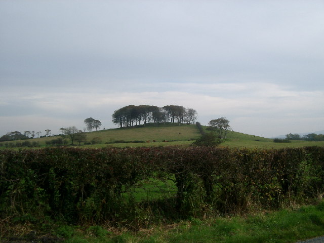
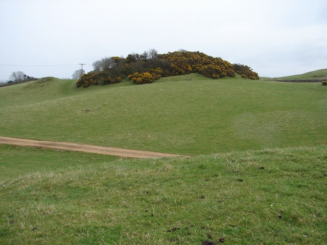
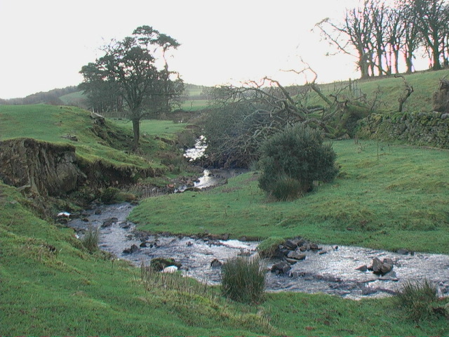
Carson's Hill is a prominent landmark located in Kirkcudbrightshire, Scotland. Standing at an elevation of 325 meters (1066 feet), it is classified as a hill rather than a mountain. The hill is characterized by its gently sloping sides and grassy terrain, making it a popular destination for hikers and outdoor enthusiasts.

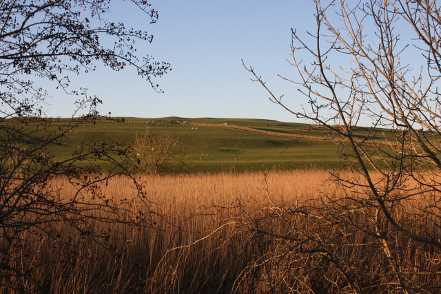
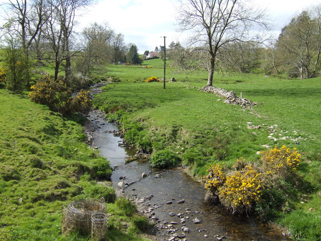
Carson's Hill offers stunning panoramic views of the surrounding countryside, including the rolling hills and lush greenery of Kirkcudbrightshire. On clear days, visitors can see as far as the Solway Firth and the Irish Sea in the distance.

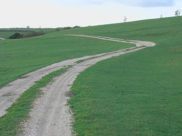
The hill is easily accessible by foot, with several well-marked trails leading to the summit. Along the way, hikers may encounter a variety of wildlife and flora native to the area, adding to the natural beauty of the landscape.

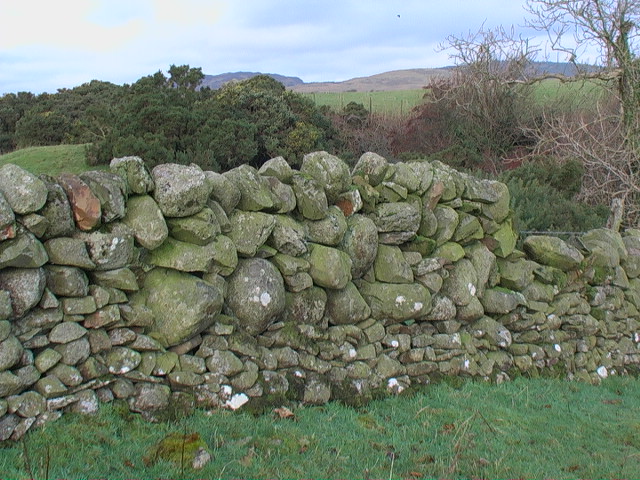
Carson's Hill is steeped in history, with archaeological evidence suggesting that it has been inhabited since ancient times. The hill is also said to have played a role in local folklore and legends, adding to its mystique and charm. Overall, Carson's Hill is a must-visit destination for those seeking a peaceful escape in the heart of Scotland's countryside.

If you have any feedback on the listing, please let us know in the comments section below.
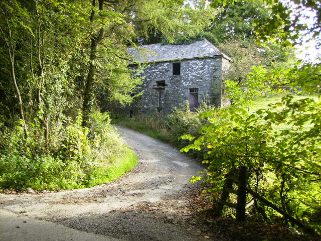
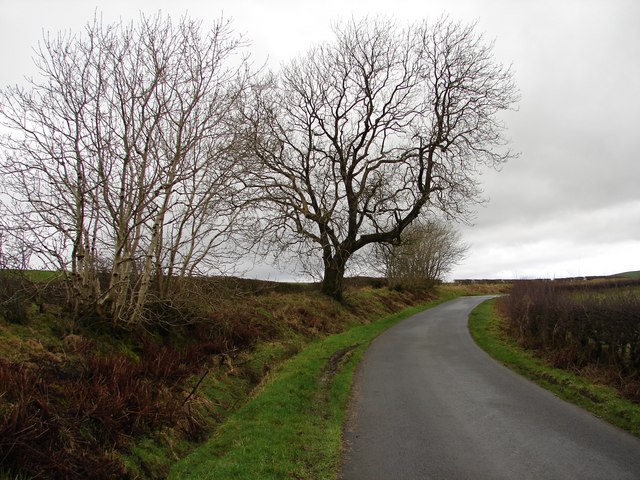
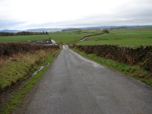
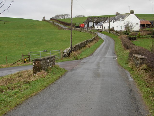
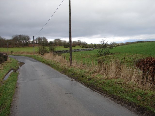
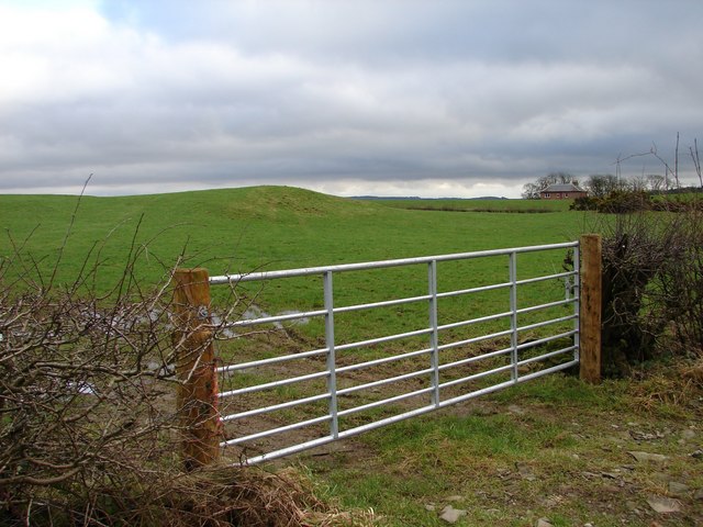
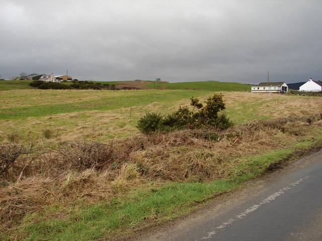
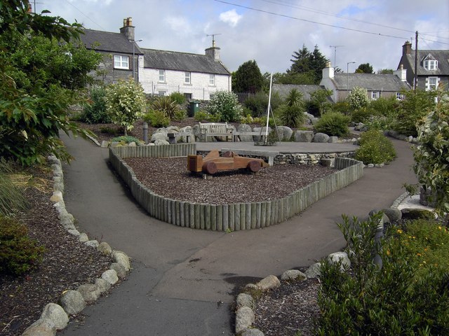
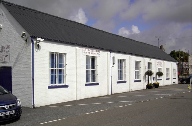
Carsons Hill Images

Images are sourced within 2km of 54.862792/-4.0990999 or Grid Reference NX6554. Thanks to Geograph Open Source API. All images are credited.

The Doon and old fort West of Twynholm Why is it that a fair number of old hill forts etc are tree-enshrouded?
The Doon and old fort West of Twynholm
Why is it that a fair number of old hill forts etc are tree-enshrouded?
Reeds and Pasture at  Ingleston Farm Looking NW from the road between Twynholm and the Cleugh, about 300 yards SSW of Ingleston.
Reeds and Pasture at Ingleston Farm
Looking NW from the road between Twynholm and the Cleugh, about 300 yards SSW of Ingleston.
Old Mill Burn Looking from Ashland towards Twynholm.
Old Mill Burn
Looking from Ashland towards Twynholm.
A75 Gretna-Stranraer Road near Twynholm. Picture taken from the east end of the lay-by west of the junction of the A75 and the Old Military Road.
A75 Gretna-Stranraer Road near Twynholm.
Picture taken from the east end of the lay-by west of the junction of the A75 and the Old Military Road.
A75 Gretna-Stranraer Road near Barluka, Twynholm. Picture taken from the lay-by just west of the drive leading to Barwhinnock.
A75 Gretna-Stranraer Road near Barluka, Twynholm.
Picture taken from the lay-by just west of the drive leading to Barwhinnock.
Barn at Compstonend
Barn at Compstonend
Gategill Hill Rather featureless stretch on the unclassified Old Military Road (Twynholm - Gatehouse-of-Fleet) with ascending fields on either side. Gategill Hill rises on the S (left of photo).
Gategill Hill
Rather featureless stretch on the unclassified Old Military Road (Twynholm - Gatehouse-of-Fleet) with ascending fields on either side. Gategill Hill rises on the S (left of photo).
Muiryard The Old Military Road (Gatehouse-of-Fleet - Twynholm) descends to Muiryard before continuing on for a further mile to join the A75 trunk road.
Muiryard
The Old Military Road (Gatehouse-of-Fleet - Twynholm) descends to Muiryard before continuing on for a further mile to join the A75 trunk road.
Muiryard Bridge and Farm Bridge over the Muiryard Burn, situated on the unclassified Old Military Road between Twynholm and Gatehouse-of-Fleet.
Muiryard Bridge and Farm
Bridge over the Muiryard Burn, situated on the unclassified Old Military Road between Twynholm and Gatehouse-of-Fleet.
Glengap Road, Twynholm View NNW from the Glengap Road (Redfield) toward the coppices of Mains of Twynholm.
Glengap Road, Twynholm
View NNW from the Glengap Road (Redfield) toward the coppices of Mains of Twynholm.
Redfield View from the Glengap Road SE across the fields toward Redfield house.
Redfield
View from the Glengap Road SE across the fields toward Redfield house.
Muirhead, Twynholm View from the Twynholm-Glengap road of Muirhead farm and cottages. In between on the hill is Muirhead reservoir.
Muirhead, Twynholm
View from the Twynholm-Glengap road of Muirhead farm and cottages. In between on the hill is Muirhead reservoir.
Campbelltown Mote Campbelltown Mote is a small double-trenched fort on top of the hillock, best preserved at the north end. The track/footpath below runs from west Twynholm to Campbelton (modern spelling?).
Campbelltown Mote
Campbelltown Mote is a small double-trenched fort on top of the hillock, best preserved at the north end. The track/footpath below runs from west Twynholm to Campbelton (modern spelling?).
Twynholm Gardens Well tended gardens behind the David Coulthard Museum. Note the wooden racing car in the centre.
Twynholm Gardens
Well tended gardens behind the David Coulthard Museum. Note the wooden racing car in the centre.
David Coulthard Museum The David Coulthard Museum in Twynholm, an excellent place to spend a wet afternoon.
David Coulthard Museum
The David Coulthard Museum in Twynholm, an excellent place to spend a wet afternoon.
Farm track to Auchengassel The surfacing material was broken shell giving a rustic look to the track.
Farm track to Auchengassel
The surfacing material was broken shell giving a rustic look to the track.
The no-messing approach to dyking. This is probably solid enough but it has a 'come close and be crushed' aura.
The no-messing approach to dyking.
This is probably solid enough but it has a 'come close and be crushed' aura.
Course of the Auchengassel Burn looking south
Show me another place!

Carsons Hill is located at Grid Ref: NX6554 (Lat: 54.862792, Lng: -4.0990999)

Unitary Authority: Dumfries and Galloway

Police Authority: Dumfries and Galloway

What 3 Words

///farmland.lines.showcases. Near Kirkcudbright, Dumfries & Galloway

Related Wikis

Twynholm

Twynholm () is a village in Scotland. It is located 2+1⁄4 miles (3.6 km) north-northwest of Kirkcudbright and 4+1⁄2 miles (7.2 km) east of Gatehouse of...

Kirkcudbright Castle

Kirkcudbright Castle, was a castle that was located on the banks of the River Dee, in Kirkcudbright, Scotland.A motte and bailey castle was built in the...

Tarff railway station

Tarff railway station served the village of Ringford, Dumfries and Galloway, Scotland from 1864 to 1965 on the Kirkcudbright Railway. == History == The...

Kirkcudbright Academy

Kirkcudbright Academy is a state funded, six-year secondary school in Kirkcudbright, Scotland with about 400 pupils and 87 staff including teaching, support...

Nearby Amenities

Located within 500m of 54.862792,-4.0990999
Barluka
Place: hamlet
Lat/Long: 54.8639509/-4.1035745
Bus Stop
Barluka
Naptan AtcoCode: 680000931333
Naptan Bearing: SW
Naptan BusStopType: CUS
Naptan CommonName: Barluka
Naptan Indicator: Road End
Naptan Landmark: C29
Naptan NaptanCode: 34236582
Naptan Notes: none
Naptan Street: A75
Naptan Verified: no
Source: naptan_import
Lat/Long: 54.8636124/-4.1039177
Bus Stop
Barluka
Naptan AtcoCode: 680000931444
Naptan Bearing: E
Naptan BusStopType: CUS
Naptan CommonName: Barluka
Naptan Indicator: opp Road End
Naptan Landmark: C29
Naptan NaptanCode: 34236583
Naptan Notes: none
Naptan Street: A75
Naptan Verified: no
Source: naptan_import
Lat/Long: 54.8637852/-4.1042438
Big Hill
Natural: peak
Source: Popular Edition (Scotland)
Lat/Long: 54.8618751/-4.0991288
Power: pole
Lat/Long: 54.8626231/-4.1056098
Power: pole
Lat/Long: 54.862654/-4.1044189
Power: pole
Lat/Long: 54.8626633/-4.1032012
Power: pole
Lat/Long: 54.8626942/-4.1017796
Power: pole
Lat/Long: 54.8627096/-4.1004707
Power: pole
Lat/Long: 54.8627219/-4.0990062
Power: pole
Lat/Long: 54.8627513/-4.0974934
Power: pole
Lat/Long: 54.8627775/-4.0958814
Power: pole
Lat/Long: 54.8627991/-4.0945135
Power: pole
Lat/Long: 54.8628254/-4.0932636
Power: pole
Lat/Long: 54.862847/-4.0916408
Power: pole
Lat/Long: 54.8615249/-4.1061178
Power: pole
Lat/Long: 54.8615249/-4.1048861
Power: pole
Lat/Long: 54.8615209/-4.1035914
Power: pole
Lat/Long: 54.8615236/-4.1026652
Power: pole
Lat/Long: 54.861384/-4.1017251
Power: pole
Lat/Long: 54.8618754/-4.1011862
Power: pole
Lat/Long: 54.8624366/-4.1005797
Power: pole
Lat/Long: 54.8630193/-4.0999568
Power: pole
Lat/Long: 54.8635845/-4.0993503
Power: pole
Lat/Long: 54.8641148/-4.0987624
Power: pole
Lat/Long: 54.8647311/-4.0980929
The data included in this document is from www.openstreetmap.org. The data is made available under ODbL.

Have you been to Carsons Hill?

Leave your review of Carsons Hill below (or comments, questions and feedback).