Barluka Hill

Hill, Mountain in Kirkcudbrightshire

Scotland

Barluka Hill

The Doon and old fort West of Twynholm Why is it that a fair number of old hill forts etc are tree-enshrouded?
The Doon and old fort West of Twynholm Credit: Kirsty Smith

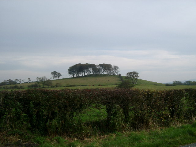
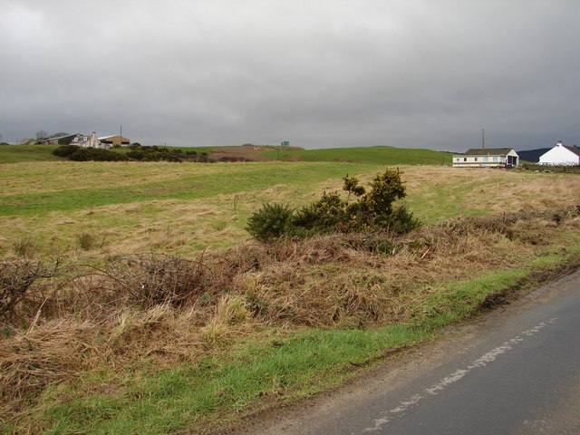
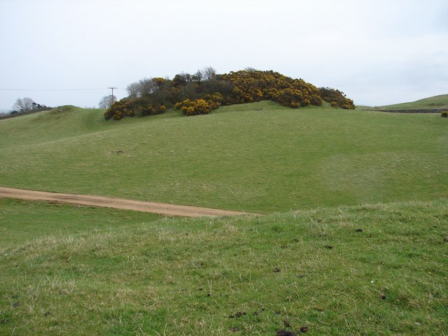
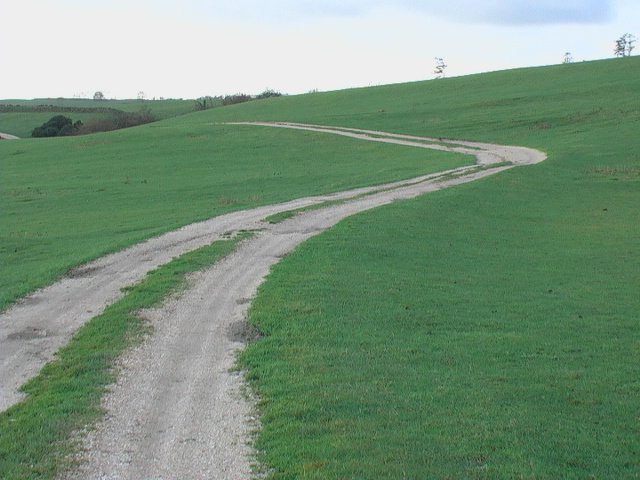
Barluka Hill is a prominent landmark located in Kirkcudbrightshire, Scotland. Rising to an elevation of 269 meters (883 feet), the hill offers stunning panoramic views of the surrounding countryside and coastline. The hill is known for its distinctive conical shape, making it easily recognizable from a distance.

Barluka Hill is a popular destination for hikers and outdoor enthusiasts, with a network of trails leading to the summit. The ascent is moderate in difficulty, making it suitable for hikers of all skill levels. Along the way, visitors may encounter a variety of flora and fauna, adding to the natural beauty of the area.

At the summit of Barluka Hill, hikers are rewarded with breathtaking views of the rolling hills of Kirkcudbrightshire, the shimmering waters of the Solway Firth, and the picturesque town of Kirkcudbright. On a clear day, it is even possible to see the peaks of the Lake District in England in the distance.

Overall, Barluka Hill is a must-visit destination for those seeking a peaceful escape into nature and a chance to admire the beauty of the Scottish countryside.

If you have any feedback on the listing, please let us know in the comments section below.
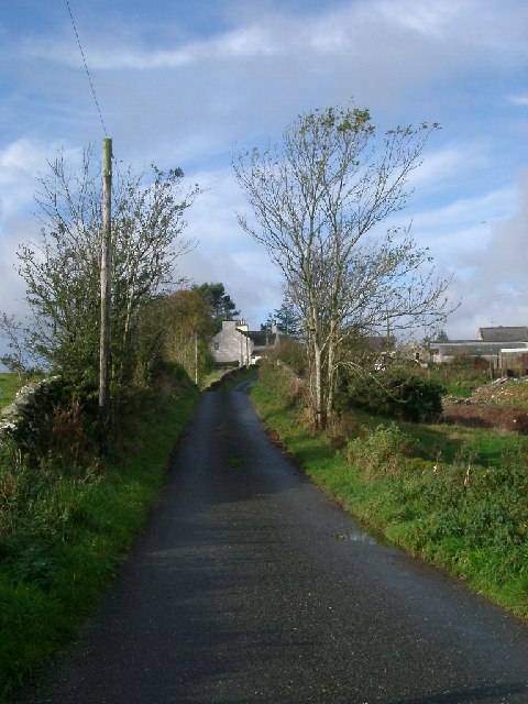
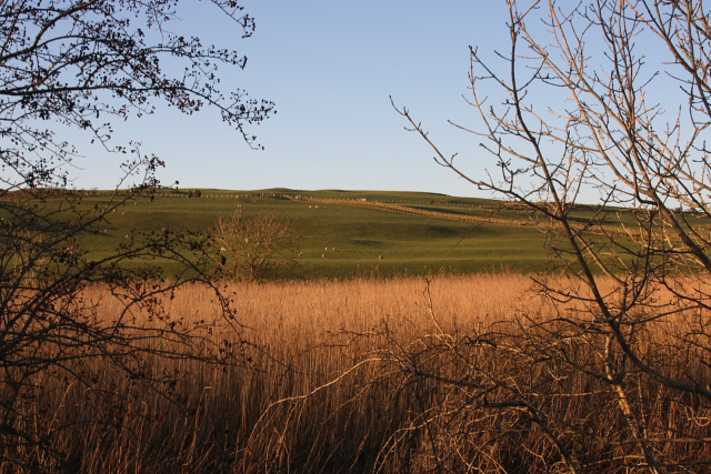
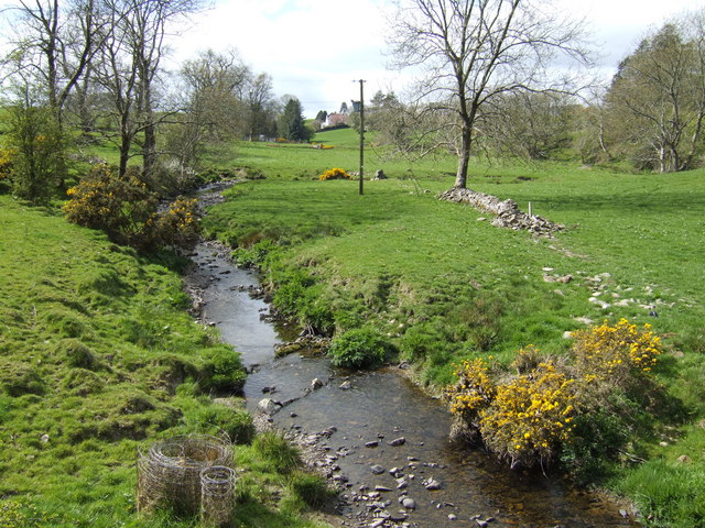
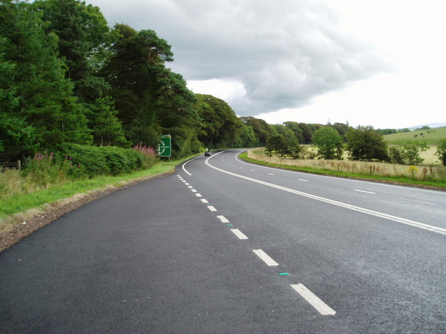
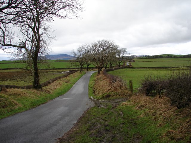
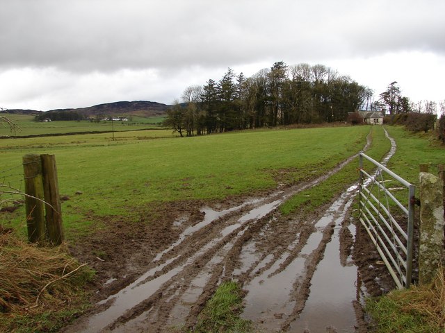
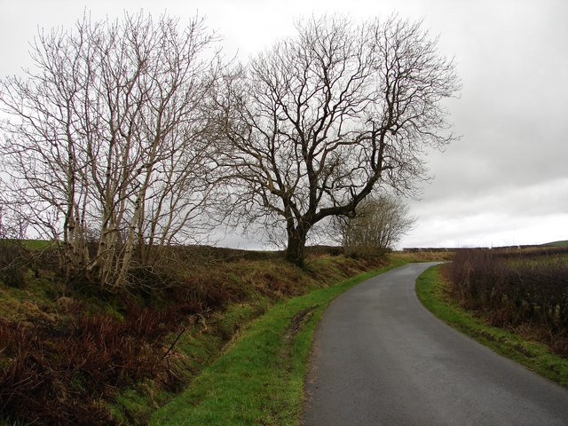
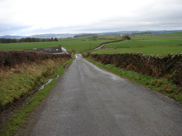
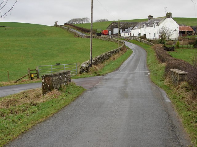
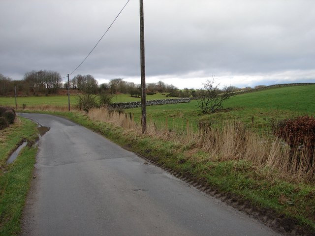
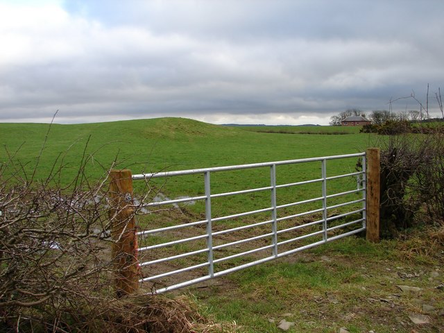
Barluka Hill Images

Images are sourced within 2km of 54.870028/-4.101658 or Grid Reference NX6554. Thanks to Geograph Open Source API. All images are credited.

The Doon and old fort West of Twynholm Why is it that a fair number of old hill forts etc are tree-enshrouded?
The Doon and old fort West of Twynholm
Why is it that a fair number of old hill forts etc are tree-enshrouded?
Mark house from road steadings on left
Mark house from road
steadings on left
Reeds and Pasture at  Ingleston Farm Looking NW from the road between Twynholm and the Cleugh, about 300 yards SSW of Ingleston.
Reeds and Pasture at Ingleston Farm
Looking NW from the road between Twynholm and the Cleugh, about 300 yards SSW of Ingleston.
Old Mill Burn Looking from Ashland towards Twynholm.
Old Mill Burn
Looking from Ashland towards Twynholm.
A75 Gretna-Stranraer Road near Twynholm. Picture taken from the east end of the lay-by west of the junction of the A75 and the Old Military Road.
A75 Gretna-Stranraer Road near Twynholm.
Picture taken from the east end of the lay-by west of the junction of the A75 and the Old Military Road.
A75 Gretna-Stranraer Road near Barluka, Twynholm. Picture taken from the lay-by just west of the drive leading to Barwhinnock.
A75 Gretna-Stranraer Road near Barluka, Twynholm.
Picture taken from the lay-by just west of the drive leading to Barwhinnock.
Tannymass - Old Military Road View westward along the unclassified Old Military Road between Twynholm and Gatehouse-of-Fleet. In the distance is Cairnharrow (456m).
Tannymass - Old Military Road
View westward along the unclassified Old Military Road between Twynholm and Gatehouse-of-Fleet. In the distance is Cairnharrow (456m).
Tanymaas Farm Winter muddy track leads up from the Old Military Road to thelonely Tanymaas Farm. NNW are the cottages and farm of Greenslack.
Tanymaas Farm
Winter muddy track leads up from the Old Military Road to thelonely Tanymaas Farm. NNW are the cottages and farm of Greenslack.
Gategill Hill Rather featureless stretch on the unclassified Old Military Road (Twynholm - Gatehouse-of-Fleet) with ascending fields on either side. Gategill Hill rises on the S (left of photo).
Gategill Hill
Rather featureless stretch on the unclassified Old Military Road (Twynholm - Gatehouse-of-Fleet) with ascending fields on either side. Gategill Hill rises on the S (left of photo).
Muiryard The Old Military Road (Gatehouse-of-Fleet - Twynholm) descends to Muiryard before continuing on for a further mile to join the A75 trunk road.
Muiryard
The Old Military Road (Gatehouse-of-Fleet - Twynholm) descends to Muiryard before continuing on for a further mile to join the A75 trunk road.
Muiryard Bridge and Farm Bridge over the Muiryard Burn, situated on the unclassified Old Military Road between Twynholm and Gatehouse-of-Fleet.
Muiryard Bridge and Farm
Bridge over the Muiryard Burn, situated on the unclassified Old Military Road between Twynholm and Gatehouse-of-Fleet.
Glengap Road, Twynholm View NNW from the Glengap Road (Redfield) toward the coppices of Mains of Twynholm.
Glengap Road, Twynholm
View NNW from the Glengap Road (Redfield) toward the coppices of Mains of Twynholm.
Redfield View from the Glengap Road SE across the fields toward Redfield house.
Redfield
View from the Glengap Road SE across the fields toward Redfield house.
Muirhead, Twynholm View from the Twynholm-Glengap road of Muirhead farm and cottages. In between on the hill is Muirhead reservoir.
Muirhead, Twynholm
View from the Twynholm-Glengap road of Muirhead farm and cottages. In between on the hill is Muirhead reservoir.
Campbelltown Mote Campbelltown Mote is a small double-trenched fort on top of the hillock, best preserved at the north end. The track/footpath below runs from west Twynholm to Campbelton (modern spelling?).
Campbelltown Mote
Campbelltown Mote is a small double-trenched fort on top of the hillock, best preserved at the north end. The track/footpath below runs from west Twynholm to Campbelton (modern spelling?).
Twynholm Gardens Well tended gardens behind the David Coulthard Museum. Note the wooden racing car in the centre.
Twynholm Gardens
Well tended gardens behind the David Coulthard Museum. Note the wooden racing car in the centre.
David Coulthard Museum The David Coulthard Museum in Twynholm, an excellent place to spend a wet afternoon.
David Coulthard Museum
The David Coulthard Museum in Twynholm, an excellent place to spend a wet afternoon.
Farm track to Auchengassel The surfacing material was broken shell giving a rustic look to the track.
Farm track to Auchengassel
The surfacing material was broken shell giving a rustic look to the track.
Show me another place!

Barluka Hill is located at Grid Ref: NX6554 (Lat: 54.870028, Lng: -4.101658)

Unitary Authority: Dumfries and Galloway

Police Authority: Dumfries and Galloway

What 3 Words

///much.spearhead.flicked. Near Kirkcudbright, Dumfries & Galloway

Related Wikis

Twynholm

Twynholm () is a village in Scotland. It is located 2+1⁄4 miles (3.6 km) north-northwest of Kirkcudbright and 4+1⁄2 miles (7.2 km) east of Gatehouse of...

Tarff railway station

Tarff railway station served the village of Ringford, Dumfries and Galloway, Scotland from 1864 to 1965 on the Kirkcudbright Railway. == History == The...

Tongland

Tongland is a small village about 2 miles (3 km) north of Kirkcudbright, in the historic county of Kirkcudbrightshire in Dumfries and Galloway, Scotland...
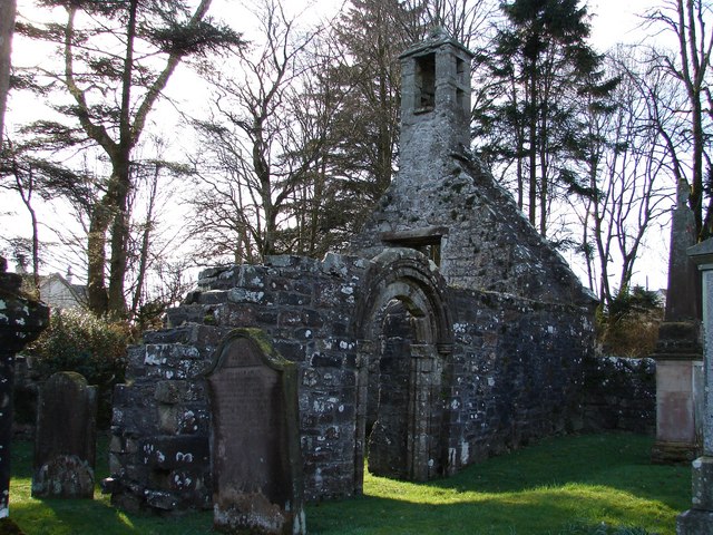
Tongland Abbey

Tungland or Tongland Abbey was a Premonstratensian monastic community located in Tongland in the historical county of Kirkcudbrightshire in Dumfries and...

Nearby Amenities

Located within 500m of 54.870028,-4.101658
Parking
Lat/Long: 54.8674143/-4.0968283
Power: pole
Lat/Long: 54.8727992/-4.0961475
Power: pole
Lat/Long: 54.8728236/-4.0977174
Power: pole
Lat/Long: 54.8728453/-4.0990634
Power: pole
Lat/Long: 54.8728594/-4.1002659
Power: pole
Lat/Long: 54.8728776/-4.1014322
Power: pole
Lat/Long: 54.8728918/-4.1029347
Power: pole
Lat/Long: 54.8729008/-4.1042727
Power: pole
Lat/Long: 54.8725165/-4.1053188
Power: pole
Lat/Long: 54.8719717/-4.1067967
Power: pole
Lat/Long: 54.8717803/-4.1073385
Power: pole
Lat/Long: 54.8713466/-4.1085079
Power: pole
Lat/Long: 54.8722337/-4.1076329
The data included in this document is from www.openstreetmap.org. The data is made available under ODbL.

Have you been to Barluka Hill?

Leave your review of Barluka Hill below (or comments, questions and feedback).