Holberrow Green

Settlement in Worcestershire Wychavon

England

Holberrow Green

The Saltway The Saltway was built by the Romans to give them access to the deposits of salt at Droitwich Spa, salt being a very important commodity to them.
The Saltway Credit: Richard Dunn

Holberrow Green is a charming village located in the county of Worcestershire, England. Situated in the heart of the countryside, it offers a tranquil and picturesque setting for its residents and visitors alike. The village is nestled amidst rolling hills, lush green fields, and meandering streams, creating a serene atmosphere that attracts nature enthusiasts and those seeking an escape from the hustle and bustle of city life.

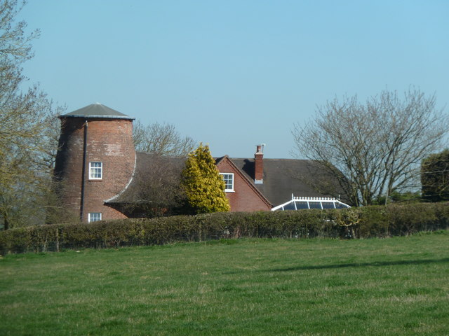
The village itself is relatively small, with a close-knit community that prides itself on its friendly and welcoming nature. Holberrow Green is characterized by its traditional architecture, with many of its buildings dating back several centuries. Its charming cottages and well-preserved historic structures add to the village's appeal and give it a distinct character.

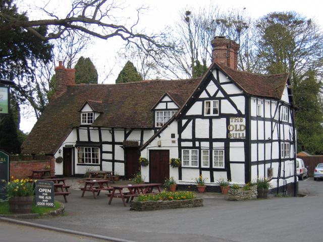
In terms of amenities, Holberrow Green boasts a local pub, The Green Dragon, which serves as a social hub for residents and visitors alike. The pub offers a selection of traditional British cuisine and locally brewed ales, providing a cozy and convivial atmosphere for patrons.

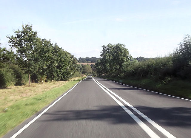
For outdoor enthusiasts, the village is surrounded by stunning natural beauty, making it an ideal location for walks, hikes, and cycling. The nearby countryside offers a variety of scenic trails, where one can explore the enchanting woodlands, meadows, and wildlife.

Holberrow Green is conveniently located near the town of Redditch, which provides a range of amenities including shopping centers, schools, and healthcare facilities. The village is also well-connected to major transportation routes, making it easily accessible to neighboring towns and cities.

Overall, Holberrow Green is a picturesque and idyllic village that offers a peaceful and rural lifestyle, combined with convenient access to modern amenities.

If you have any feedback on the listing, please let us know in the comments section below.

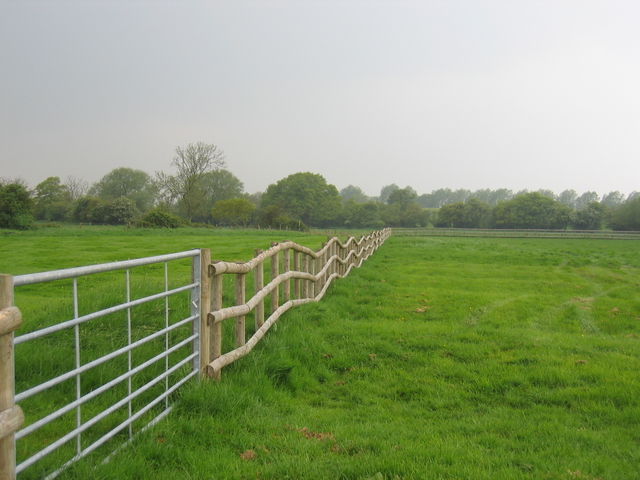
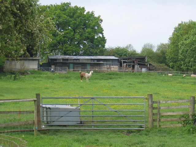
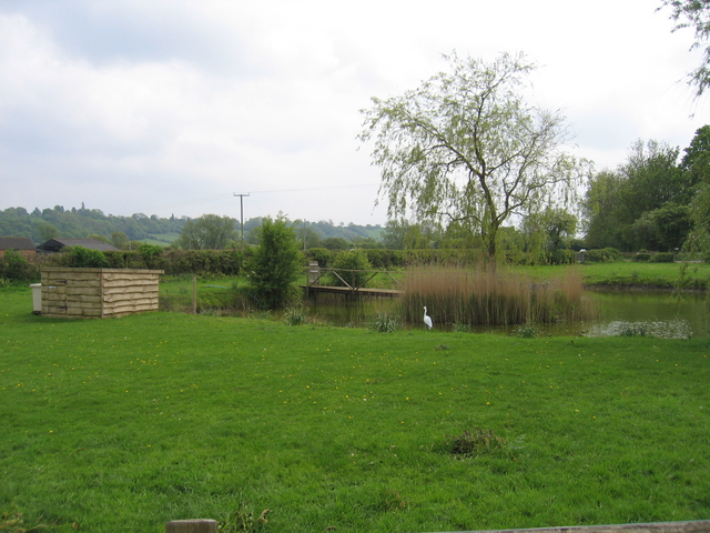
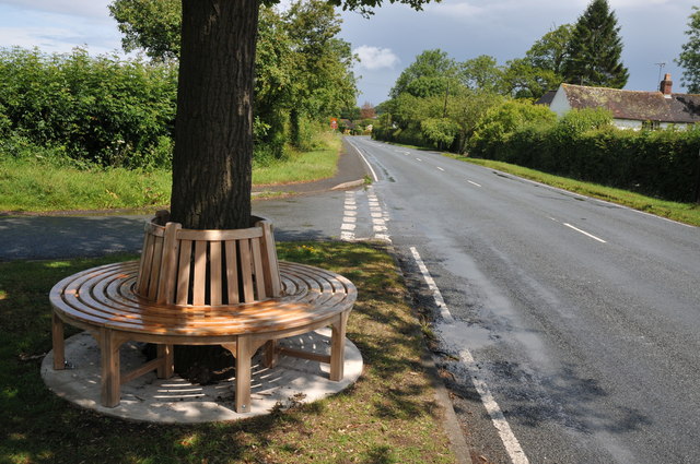
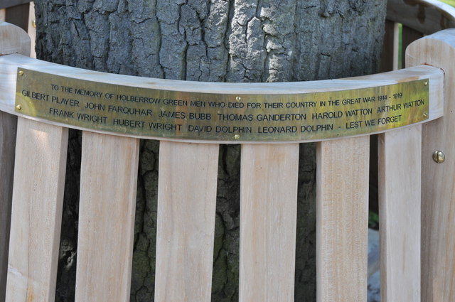
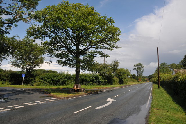
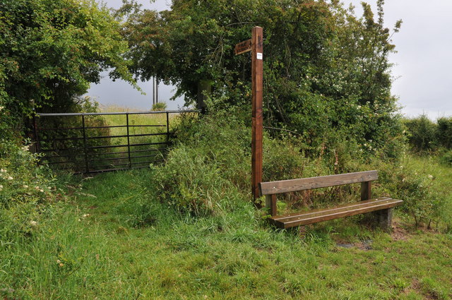
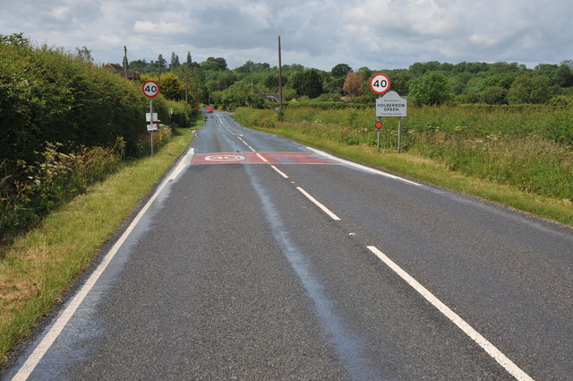
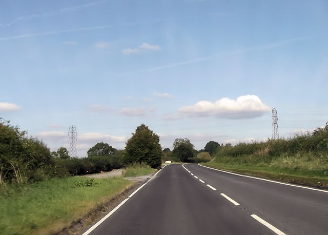
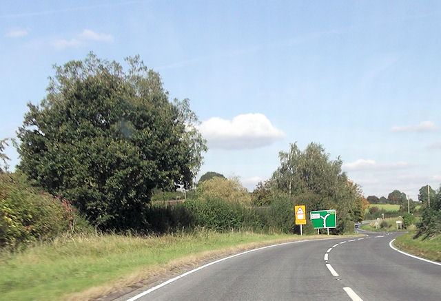
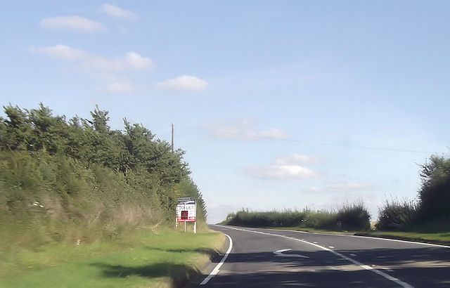
Holberrow Green Images

Images are sourced within 2km of 52.230059/-1.964096 or Grid Reference SP0259. Thanks to Geograph Open Source API. All images are credited.

The Saltway The Saltway was built by the Romans to give them access to the deposits of salt at Droitwich Spa, salt being a very important commodity to them.
The Saltway
The Saltway was built by the Romans to give them access to the deposits of salt at Droitwich Spa, salt being a very important commodity to them.
Shurnock Court A view of the fine old timber framed building from the public bridleway through the adjoining fields.
Shurnock Court
A view of the fine old timber framed building from the public bridleway through the adjoining fields.
Fence at Shurnock The fields around Shurnock Court still show signs of ridge and furrow farming. This field has been subdivided with recent fencing to create smaller paddocks, resulting in an interesting fence line as it cuts across the ridges.
Fence at Shurnock
The fields around Shurnock Court still show signs of ridge and furrow farming. This field has been subdivided with recent fencing to create smaller paddocks, resulting in an interesting fence line as it cuts across the ridges.
Llama Seen in a field by Moors Lane.
Llama
Seen in a field by Moors Lane.
Pond by Moors Lane A small man-made pond beside Moors Lane at the junction of the bridleway towards Andy's Barn.
Pond by Moors Lane
A small man-made pond beside Moors Lane at the junction of the bridleway towards Andy's Barn.
Memorial seat, Holberrow Green A recently made memorial seat in memory of those from Holberrow Green who gave their lives in the First World War.  The seat is round the trunk of an oak tree on the junction of a no through road to Morton Hall with the B4092.
Memorial seat, Holberrow Green
A recently made memorial seat in memory of those from Holberrow Green who gave their lives in the First World War. The seat is round the trunk of an oak tree on the junction of a no through road to Morton Hall with the B4092.
Names on a memorial seat, Holberrow Green The names of the men of Holberrow Green who gave their lives in the First World War on a memorial seat.
Names on a memorial seat, Holberrow Green
The names of the men of Holberrow Green who gave their lives in the First World War on a memorial seat.
Memorial seat, Holberrow Green Memorial seat to the men of Holberrow Green who gave their lives in the First World War.
Memorial seat, Holberrow Green
Memorial seat to the men of Holberrow Green who gave their lives in the First World War.
Footpath and seat, Inkberrow A footpath sign and convenient seat near Inkberrow.
Footpath and seat, Inkberrow
A footpath sign and convenient seat near Inkberrow.
Country road near Little Mearse Farm Country road near Little Mearse Farm near Inkberrow.
Country road near Little Mearse Farm
Country road near Little Mearse Farm near Inkberrow.
Fields of wheat Fields of wheat beside Mearse Lane near Inkberrow.
Fields of wheat
Fields of wheat beside Mearse Lane near Inkberrow.
Approaching Holberrow Green Approaching Holberrow Green on the B4092.
Approaching Holberrow Green
Approaching Holberrow Green on the B4092.
Former windmill - Holberrow Green The stump of a tower mill with attached house. There is another nearby at Inkberrow but I have yet to see that (next time perhaps).
Former windmill - Holberrow Green
The stump of a tower mill with attached house. There is another nearby at Inkberrow but I have yet to see that (next time perhaps).
A422 west of power lines The power lines can be seen. East of Inkberrow
A422 west of power lines
The power lines can be seen. East of Inkberrow
B4092 junction ahead
Priory Piece junction from A422
Long straight at Jump for Joy riding stables
Entering Inkberrow from the north
Show me another place!

Holberrow Green is located at Grid Ref: SP0259 (Lat: 52.230059, Lng: -1.964096)

Administrative County: Worcestershire

District: Wychavon

Police Authority: West Mercia

What 3 Words

///pools.alternate.diplomat. Near Inkberrow, Worcestershire

Related Wikis

Holberrow Green

Holberrow Green is a village in Worcestershire, England. == External links == Media related to Holberrow Green at Wikimedia Commons

Sporting Club Inkberrow F.C.

Sporting Club Inkberrow Football Club is a football club based in Inkberrow, England. They are currently members of the Hellenic League Division One and...

Inkberrow Castle

Inkberrow Castle was situated in the village of Inkberrow in Worcestershire, some 10 km south of Redditch (grid reference SP017572). It was a castle built...

Inkberrow

Inkberrow is a village in Worcestershire, England, often thought to be the model for Ambridge, the setting of BBC Radio 4's long-running series The Archers...

Nearby Amenities

Located within 500m of 52.230059,-1.964096
Holberrow Green-Tree- Turn
Naptan AtcoCode: 2000G031300
Naptan Bearing: SW
Naptan BusStopType: CUS
Naptan CommonName: Holberrow Green-Tree- Turn
Naptan Indicator: Adj
Naptan Landmark: Holberrow Green
Naptan NaptanCode: wocdpwma
Naptan Street: B4092
Naptan Verified: no
Source: naptan_import
Lat/Long: 52.2277335/-1.9671165
Fixme: WARNING - path vanishes here
Hiking: yes
Information: guidepost
Tourism: information
Lat/Long: 52.2280603/-1.9685312
Power: pole
Lat/Long: 52.2307682/-1.967333
Power: pole
Lat/Long: 52.2294277/-1.9621032
Power: pole
Lat/Long: 52.2306013/-1.9693948
Power: pole
Lat/Long: 52.2306872/-1.9683581
Power: pole
Lat/Long: 52.2290192/-1.9612088
Holberrow Green
Power: pole
Transformer: distribution
Voltage Primary: 11000
Lat/Long: 52.2307577/-1.9650072
Barrier: stile
Foot: yes
Lat/Long: 52.2304341/-1.9702218
Power: pole
Lat/Long: 52.2298955/-1.9631086
Power: pole
Lat/Long: 52.2307725/-1.9713017
Post Box
Collection Times: Mo-Fr 15:30; Sa 07:30
Post Box Type: lamp
Ref: B96 44
Royal Cypher: EIIR
Royal Cypher Wikidata: Q33102113
Lat/Long: 52.2300378/-1.9659165
Power: pole
Lat/Long: 52.230848/-1.9662823
Power: pole
Lat/Long: 52.2286625/-1.960415
Barrier: stile
Foot: yes
Lat/Long: 52.2306639/-1.9693673
Power: pole
Lat/Long: 52.2303826/-1.9641623
Power: pole
Lat/Long: 52.2305167/-1.9704552
Disused: yes
Man Made: windmill
Lat/Long: 52.2275408/-1.9658783
Power: pole
Lat/Long: 52.2289447/-1.965934
Barrier: stile
Foot: yes
Lat/Long: 52.2300295/-1.9657696
Power: pole
Lat/Long: 52.2275774/-1.9590728
Power: pole
Lat/Long: 52.2269064/-1.9595478
Power: pole
Lat/Long: 52.2264115/-1.9598856
Holberrow Green South
Power: pole
Transformer: distribution
Voltage Primary: 11000
Lat/Long: 52.2283405/-1.9666714
Barrier: stile
Foot: yes
Lat/Long: 52.2295944/-1.9643841
Power: pole
Lat/Long: 52.2282693/-1.959565
Power: pole
Lat/Long: 52.2279296/-1.9588555
Power: pole
Lat/Long: 52.2297406/-1.9649415
Fixme: continues, but landowner disputes the route. Worcestershire countryside service ticket PR-R06196-35-4 applies
Lat/Long: 52.2273566/-1.9649286
Barrier: stile
Foot: yes
Lat/Long: 52.22808/-1.9686707
Holberrow Green Padmount
Power: pole
Transformer: distribution
Voltage Primary: 11000
Lat/Long: 52.2335/-1.9629774
Location Transition: yes
Power: pole
Lat/Long: 52.2306547/-1.9647677
Little Bouts Farm
Power: pole
Transformer: distribution
Voltage Primary: 11000
Lat/Long: 52.2291778/-1.9572186
Power: pole
Lat/Long: 52.2291983/-1.9583452
Power: pole
Lat/Long: 52.2292246/-1.9597091
The data included in this document is from www.openstreetmap.org. The data is made available under ODbL.

Have you been to Holberrow Green?

Leave your review of Holberrow Green below (or comments, questions and feedback).