Lady's Coppice
Wood, Forest in Worcestershire Wychavon
England
Lady's Coppice

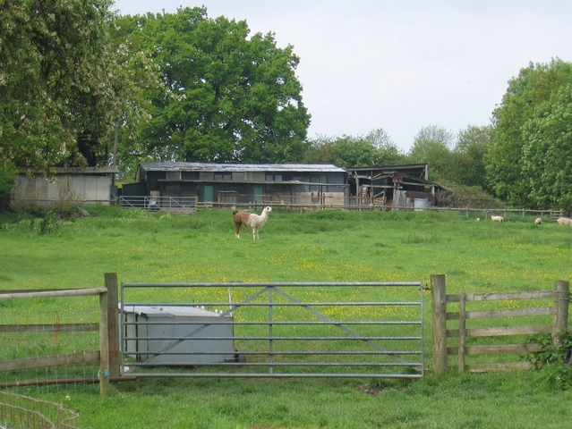
Lady's Coppice is a picturesque woodland located in Worcestershire, England. Situated near the town of Kidderminster, this forested area covers approximately 20 acres of land. It is a popular destination for nature enthusiasts, hikers, and families looking to enjoy the great outdoors.
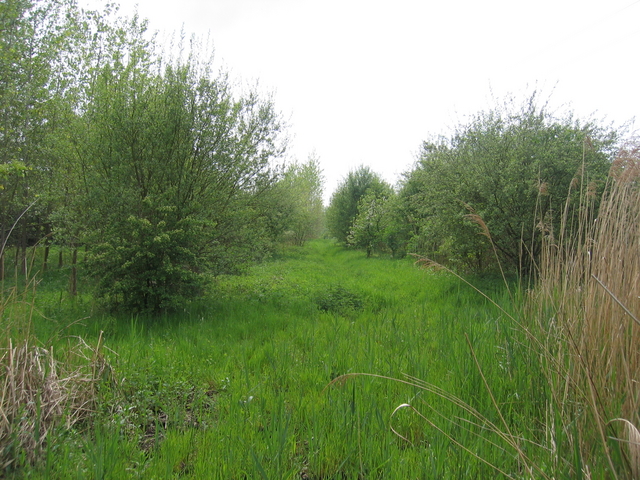
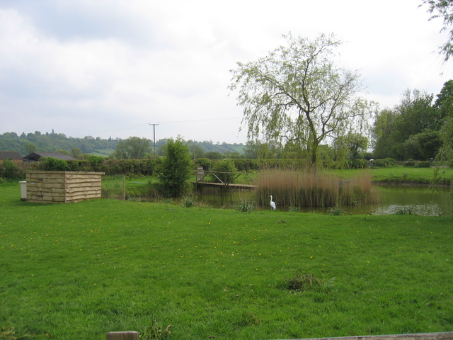
The woodland is characterized by its diverse range of tree species, including oak, beech, birch, and ash. These majestic trees create a dense canopy, providing ample shade during the summer months. The forest floor is carpeted with a variety of wildflowers, adding a vibrant burst of color to the landscape.
Lady's Coppice is home to an array of wildlife, making it an ideal spot for birdwatching and animal spotting. Visitors may catch a glimpse of woodland creatures such as deer, squirrels, and rabbits, as well as a plethora of bird species including woodpeckers, jays, and finches.
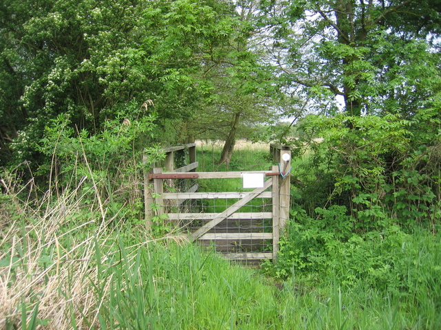
Several well-marked trails wind their way through the woodland, offering visitors the opportunity to explore its natural beauty. These paths cater to both casual walkers and more experienced hikers, ensuring there is something for everyone. Along the trails, there are benches and picnic areas where visitors can rest and take in the serene surroundings.
Additionally, Lady's Coppice offers educational opportunities for those interested in learning about the local flora and fauna. The forest is often used as an outdoor classroom, hosting school groups and nature workshops throughout the year.
Overall, Lady's Coppice is a captivating woodland that provides a tranquil escape from the hustle and bustle of everyday life. With its stunning scenery, diverse wildlife, and recreational activities, it is a must-visit destination for anyone seeking a connection with nature.
If you have any feedback on the listing, please let us know in the comments section below.
Lady's Coppice Images
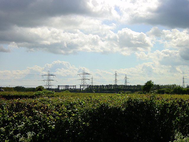
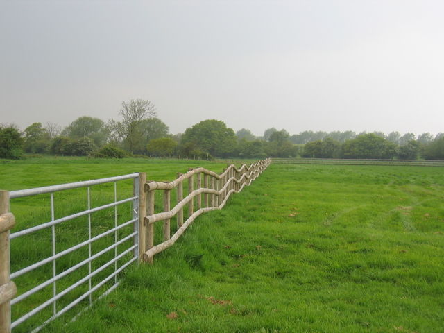
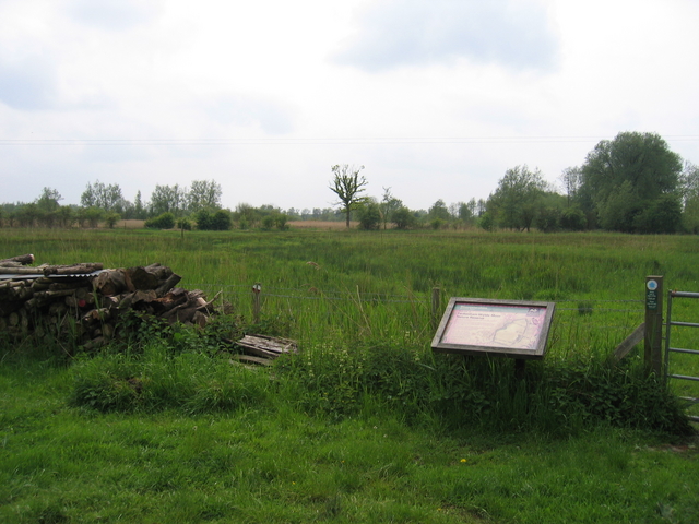
Images are sourced within 2km of 52.236568/-1.9691306 or Grid Reference SP0259. Thanks to Geograph Open Source API. All images are credited.


Lady's Coppice is located at Grid Ref: SP0259 (Lat: 52.236568, Lng: -1.9691306)
Administrative County: Worcestershire
District: Wychavon
Police Authority: West Mercia
What 3 Words
///packages.marzipan.expose. Near Inkberrow, Worcestershire
Nearby Locations
Related Wikis

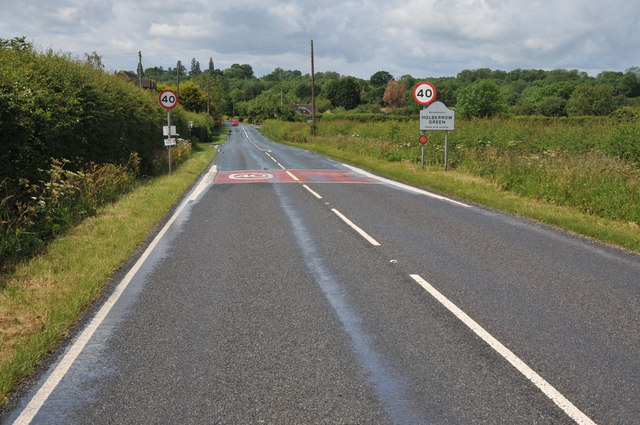
Holberrow Green
Holberrow Green is a village in Worcestershire, England. == External links == Media related to Holberrow Green at Wikimedia Commons

Redditch (UK Parliament constituency)
Redditch is a constituency in Worcestershire, England, represented in the House of Commons of the UK Parliament since 2017 by Rachel Maclean of the Conservative...

Feckenham
Feckenham is a village and civil parish in the Borough of Redditch in Worcestershire, England. It lies some 4 miles (6 km) south-west of the town of Redditch...
Sporting Club Inkberrow F.C.
Sporting Club Inkberrow Football Club is a football club based in Inkberrow, England. They are currently members of the Hellenic League Division One and...
Nearby Amenities
Located within 500m of 52.236568,-1.9691306Have you been to Lady's Coppice?
Leave your review of Lady's Coppice below (or comments, questions and feedback).