Berry Hill

Hill, Mountain in Ayrshire

Scotland

Berry Hill

Covenanter Monument near Waistland Farm Two Covenanters, George Corson and John Hair, were allegedly shot by the same party of “dragoons” that conducted the summary executions at Carsgailoch and pursued Hugh Hutchison of Dalgig in the summer of 1685…
Covenanter Monument near Waistland Farm Credit: Colin Kinnear

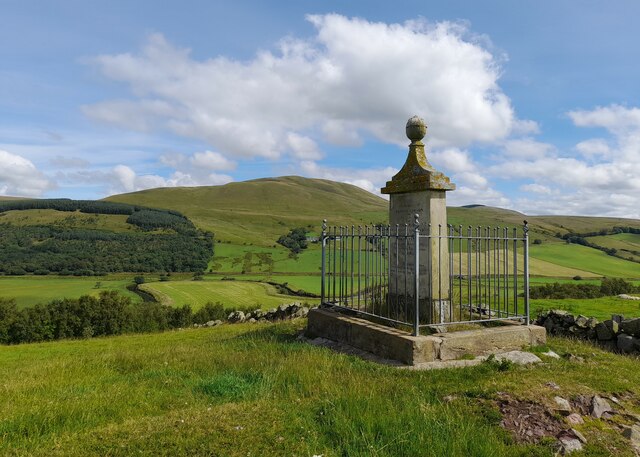
Berry Hill is a prominent hill located in the county of Ayrshire, Scotland. Standing at an elevation of approximately 260 meters (850 feet), it is a significant natural landmark in the area. Berry Hill is situated near the town of Ayr, about 5 kilometers (3 miles) southeast of the town center.

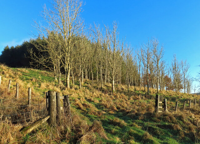
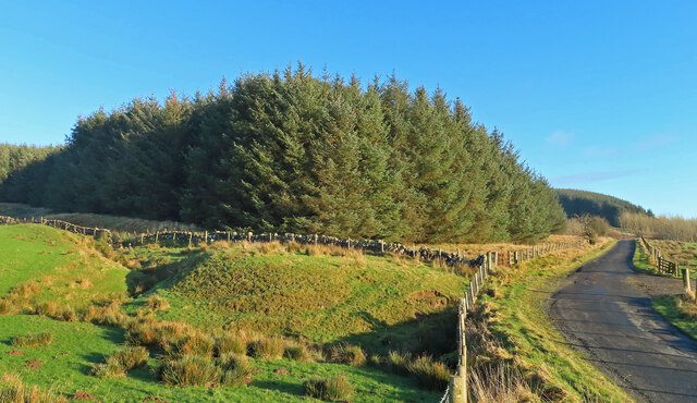
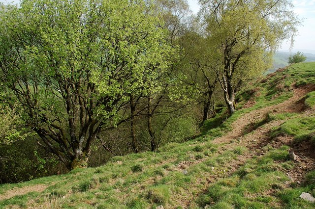
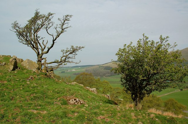
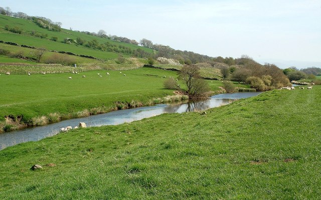
The hill is characterized by its distinctive conical shape, covered in lush green vegetation, making it an attractive sight for both locals and visitors alike. It offers panoramic views of the surrounding countryside, including the nearby farmlands, rolling hills, and the picturesque Ayrshire coast.

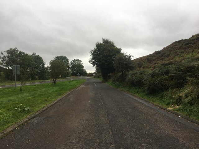
Berry Hill is a popular destination for outdoor enthusiasts and nature lovers. It is frequented by hikers, walkers, and cyclists who enjoy its well-maintained paths and trails. The hill provides a variety of routes catering to different levels of fitness and experience, making it accessible to a wide range of individuals.

The summit of Berry Hill offers breathtaking vistas, particularly on clear days when one can see as far as the Isle of Arran in the Firth of Clyde. The hill is also home to a diverse range of flora and fauna, including heather, gorse, and various bird species, adding to its natural charm.

Overall, Berry Hill in Ayrshire is a beautiful and scenic hill that offers a refreshing escape from urban life. Its accessibility, natural beauty, and panoramic views make it a must-visit destination for nature enthusiasts and those seeking a peaceful retreat.

If you have any feedback on the listing, please let us know in the comments section below.
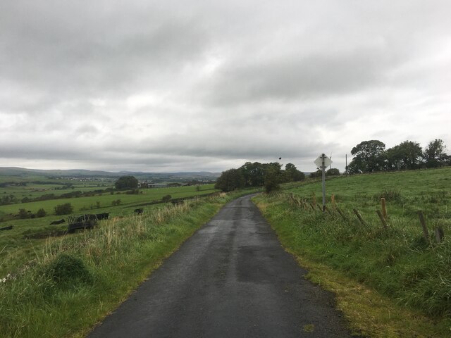
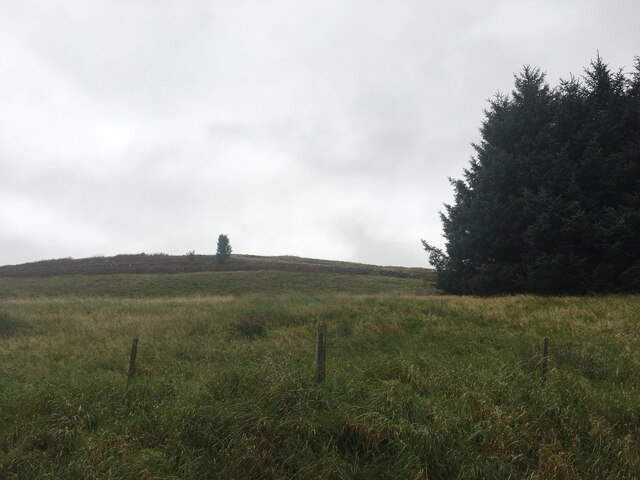
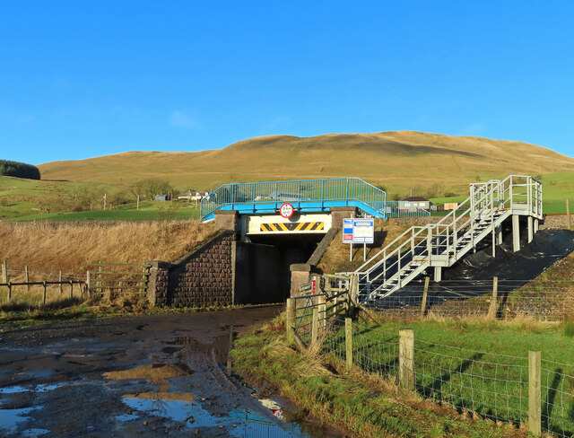
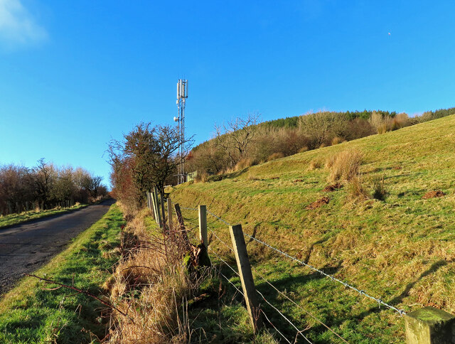
Berry Hill Images

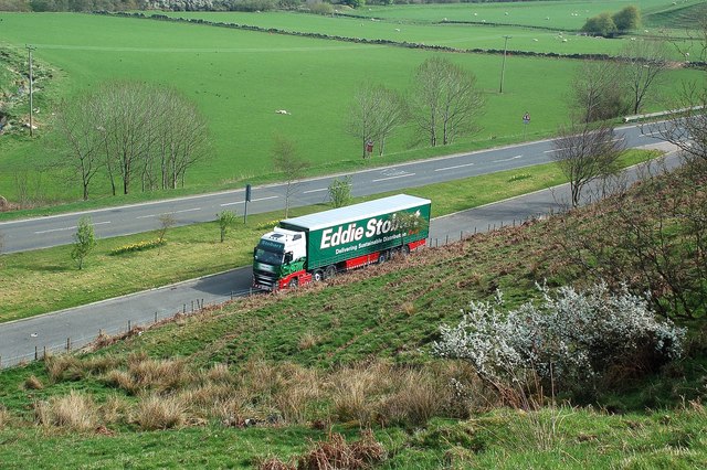
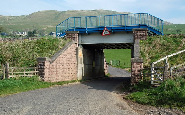
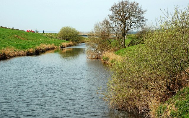
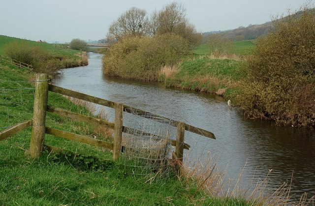
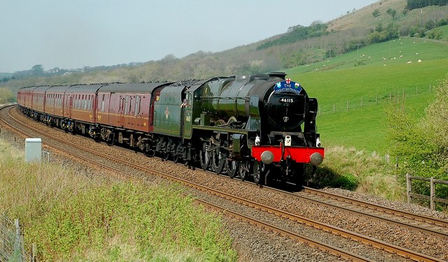
Images are sourced within 2km of 55.395046/-4.1307616 or Grid Reference NS6513. Thanks to Geograph Open Source API. All images are credited.

Covenanter Monument near Waistland Farm Two Covenanters, George Corson and John Hair, were allegedly shot by the same party of “dragoons” that conducted the summary executions at Carsgailoch and pursued Hugh Hutchison of Dalgig in the summer of 1685…
Covenanter Monument near Waistland Farm
Two Covenanters, George Corson and John Hair, were allegedly shot by the same party of “dragoons” that conducted the summary executions at Carsgailoch and pursued Hugh Hutchison of Dalgig in the summer of 1685…
Lay-by on the A76
Lay-by on the A76
River Nith
River Nith
Small quarry, Hillend Knowe
Minor road near Little Garclaugh
Gap in the trees on Craigdullyeart Hill
Duncansburn Bridge Floodwater had receded from the road when this shot was taken but the warning signs were still in place. Rail traffic between Glasgow Central and Carlisle uses this line. Network Rail has improved the worker access since the previous shot was taken <a href="https://www.geograph.org.uk/photo/2370045">NS6613 : A Shiny New Railway Bridge</a>
Duncansburn Bridge
Floodwater had receded from the road when this shot was taken but the warning signs were still in place. Rail traffic between Glasgow Central and Carlisle uses this line. Network Rail has improved the worker access since the previous shot was taken NS6613 : A Shiny New Railway Bridge
A comms mast in the Nith Valley Located near Corsencon Farm.
A comms mast in the Nith Valley
Located near Corsencon Farm.
Woodland on Hillend Knowe A strip of deciduous trees occupies the lower slope with the coniferous plantation higher up the hill.
Woodland on Hillend Knowe
A strip of deciduous trees occupies the lower slope with the coniferous plantation higher up the hill.
Plantation on Hillend Knowe Located on the sunny side of the Nith Valley, near New Cumnock.
Plantation on Hillend Knowe
Located on the sunny side of the Nith Valley, near New Cumnock.
Above Park Burn This small burn lies in a surprisingly deep valley, falling away steeply from the farmland above it. The trees mark the start of the valley.
Above Park Burn
This small burn lies in a surprisingly deep valley, falling away steeply from the farmland above it. The trees mark the start of the valley.
Above Park Burn Straggly hawthorns on the grazing land above Park Burn, close to the A76 near New Cumnock.
Above Park Burn
Straggly hawthorns on the grazing land above Park Burn, close to the A76 near New Cumnock.
Above the A76 Looking down towards a lay-by on the A76, to the east of New Cumnock.  The lay-by is in the next square.
Above the A76
Looking down towards a lay-by on the A76, to the east of New Cumnock. The lay-by is in the next square.
A Shiny New Railway Bridge This brightly coloured bridge carries the Nith Valley railway line over a minor road to the east of New Cumnock.
A Shiny New Railway Bridge
This brightly coloured bridge carries the Nith Valley railway line over a minor road to the east of New Cumnock.
The River Nith Looking downstream on a fine but hazy April morning. The Explorer map confirms the location inside the corner of this square.
The River Nith
Looking downstream on a fine but hazy April morning. The Explorer map confirms the location inside the corner of this square.
The River Nith Looking upstream from outside the square.  The people by the bridge were waiting for the arrival of the Great Britain IV Railtour on the Nith Valley line.
The River Nith
Looking upstream from outside the square. The people by the bridge were waiting for the arrival of the Great Britain IV Railtour on the Nith Valley line.
The River Nith Looking upstream a few miles east of New Cumnock on a fine but hazy April morning.
The River Nith
Looking upstream a few miles east of New Cumnock on a fine but hazy April morning.
The Great Britain IV Railtour in the Nith Valley This photo shows the Glasgow-Preston leg of the Great Britain IV Railtour.  The train is being hauled by Royal Scot 4-6-0 46115 "Scots Guardsman".  It was on time, photographed at 12.33, after leaving New Cumnock on its way down the Nith Valley.
The Great Britain IV Railtour in the Nith Valley
This photo shows the Glasgow-Preston leg of the Great Britain IV Railtour. The train is being hauled by Royal Scot 4-6-0 46115 "Scots Guardsman". It was on time, photographed at 12.33, after leaving New Cumnock on its way down the Nith Valley.
Show me another place!

Berry Hill is located at Grid Ref: NS6513 (Lat: 55.395046, Lng: -4.1307616)

Unitary Authority: East Ayrshire

Police Authority: Ayrshire

What 3 Words

///mailers.choppers.soft. Near New Cumnock, East Ayrshire

Nearby Locations

Berry Hill Garepool

Related Wikis

Mansfield, East Ayrshire

Mansfield is a village in East Ayrshire in Scotland. It is north of New Cumnock from which it is separated by the River Nith and the adjacent village of...

River Afton

The River Afton (or Afton Water) is a small river in Ayrshire, Scotland, which flows north from Alwhat Hill in the Carsphairn and Scaur Hills, through...

New Cumnock

New Cumnock is a town in East Ayrshire, Scotland. It expanded during the coal-mining era from the late 18th century, and mining remained its key industry...

New Cumnock Town Hall

New Cumnock Town Hall is a municipal building in Castle, New Cumnock, East Ayrshire, Scotland. The structure, which is used as a community events venue...

Nearby Amenities

Located within 500m of 55.395046,-4.1307616
Power: pole
Lat/Long: 55.3909789/-4.1283622
Power: pole
Lat/Long: 55.3909332/-4.1296469
Power: pole
Lat/Long: 55.3908875/-4.1306045
Power: pole
Lat/Long: 55.390819/-4.1319966
Power: pole
Lat/Long: 55.3907809/-4.1330265
Power: pole
Lat/Long: 55.390675/-4.1292661
Power: pole
Lat/Long: 55.390608/-4.1306984
Parking
Lat/Long: 55.393287/-4.1367468
Power: pole
Lat/Long: 55.3940167/-4.1267133
Power: pole
Lat/Long: 55.3942592/-4.1306328
Power: pole
Lat/Long: 55.3943849/-4.1318724
Power: pole
Lat/Long: 55.3944658/-4.1330798
Power: pole
Lat/Long: 55.3945431/-4.1341673
Power: pole
Lat/Long: 55.3946551/-4.1357508
Power: pole
Lat/Long: 55.3947671/-4.1373079
Power: pole
Lat/Long: 55.3941057/-4.1282011
Power: pole
Lat/Long: 55.3936335/-4.1282169
Power: pole
Lat/Long: 55.3929038/-4.1285065
Power: pole
Lat/Long: 55.3941912/-4.1296284
Power: pole
Lat/Long: 55.394475/-4.1313815
Power: pole
Lat/Long: 55.3945957/-4.1307956
Power: pole
Lat/Long: 55.3947049/-4.1302188
Power: pole
Lat/Long: 55.3947371/-4.1295425
Power: pole
Lat/Long: 55.3947615/-4.1288367
The data included in this document is from www.openstreetmap.org. The data is made available under ODbL.

Have you been to Berry Hill?

Leave your review of Berry Hill below (or comments, questions and feedback).