Irelandton Hill

Hill, Mountain in Kirkcudbrightshire

Scotland

Irelandton Hill

The Doon and old fort West of Twynholm Why is it that a fair number of old hill forts etc are tree-enshrouded?
The Doon and old fort West of Twynholm Credit: Kirsty Smith

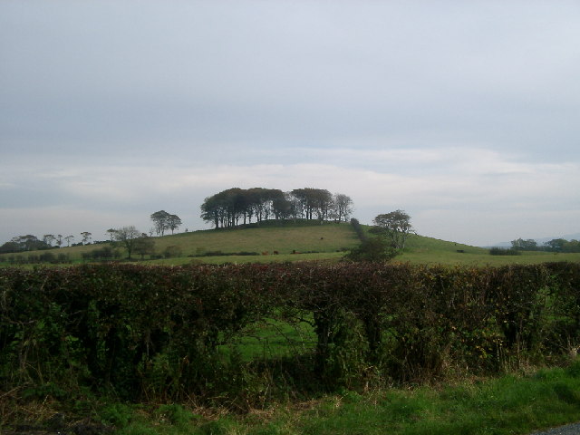
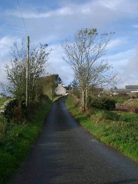
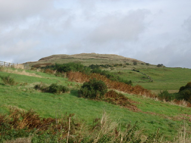
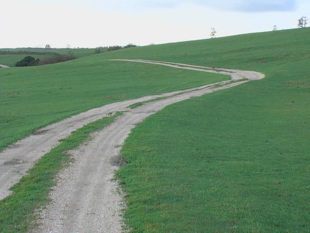
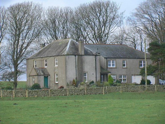
Irelandton Hill is a prominent geographical feature located in Kirkcudbrightshire, a historic county in southwestern Scotland. Rising to a height of approximately 247 meters (810 feet), it is classified as a hill rather than a mountain due to its moderate elevation. Situated near the village of Irelandton, the hill offers stunning panoramic views of the surrounding countryside, making it a popular destination for hikers and nature enthusiasts.

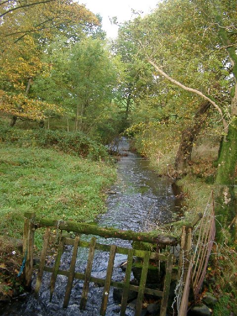
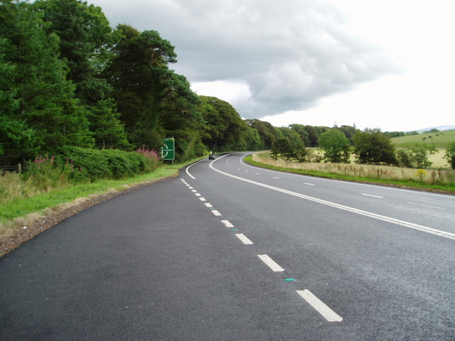
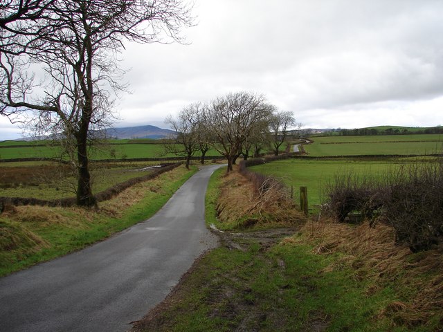
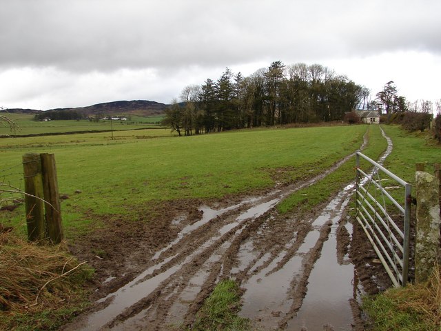
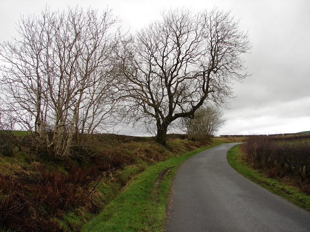
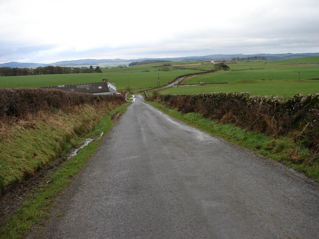
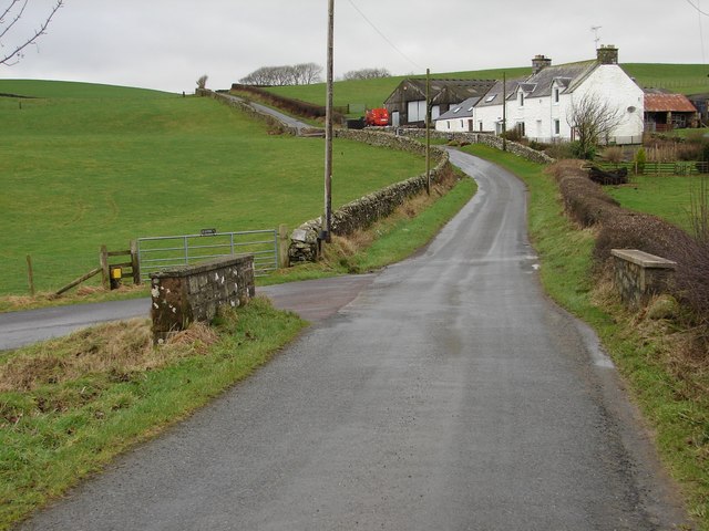
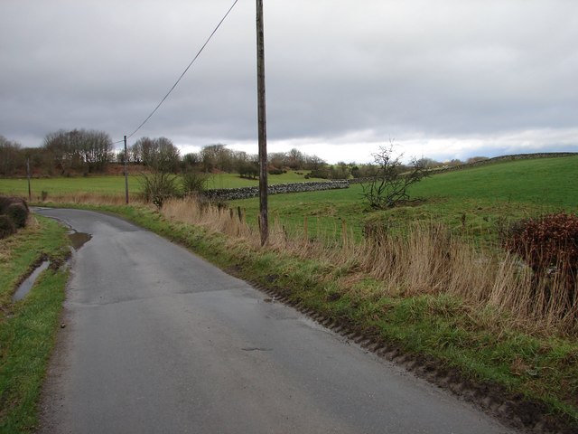
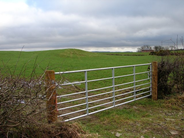
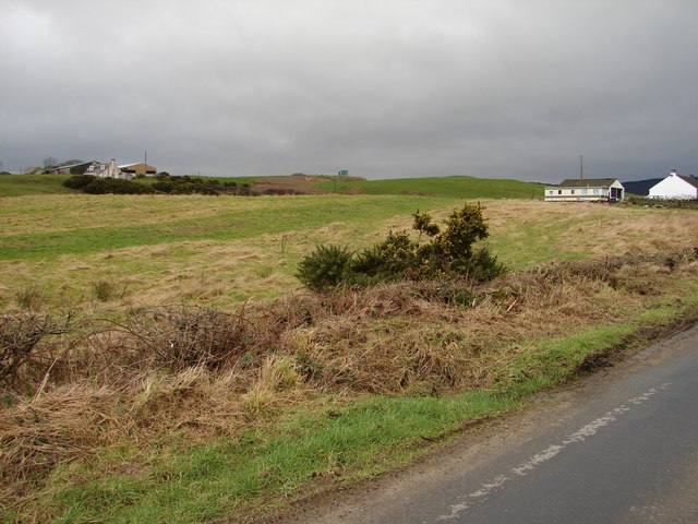
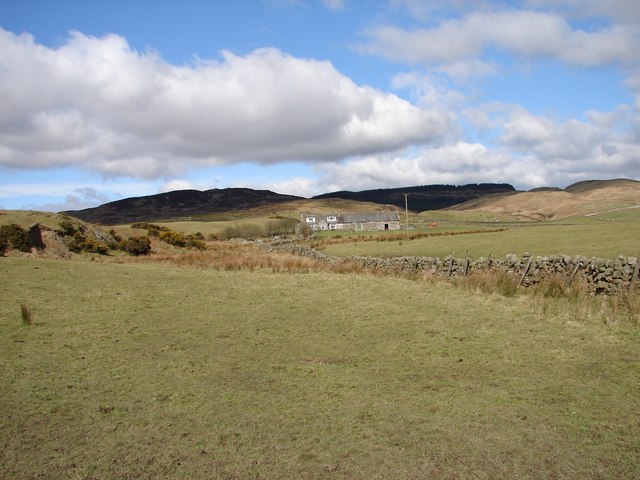
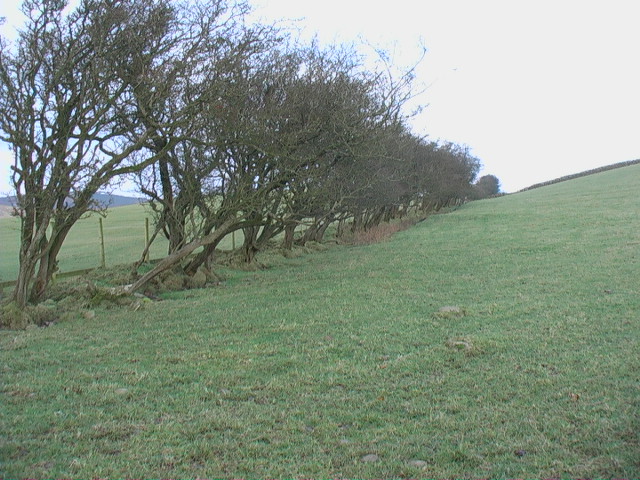
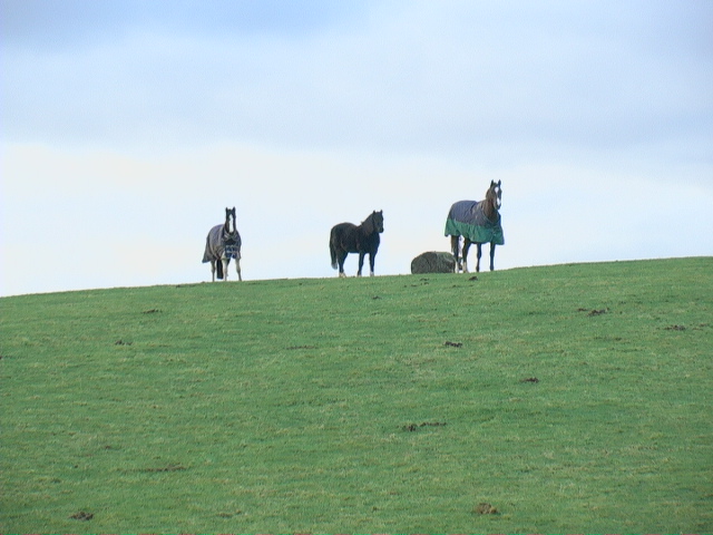
The landscape of Irelandton Hill is characterized by rolling green hills and picturesque valleys, typical of the Scottish Lowlands region. The hill itself is predominantly covered in grass, with scattered clusters of trees dotting its slopes. As visitors ascend the hill, they may encounter a variety of flora and fauna, including wildflowers, heather, and small mammals like rabbits and squirrels.

At the summit of Irelandton Hill, one can take in breathtaking vistas of the nearby Galloway Forest Park, the Solway Firth, and even glimpses of the distant Scottish mountains. On clear days, the view can stretch as far as the Isle of Man and the northern coast of Ireland.

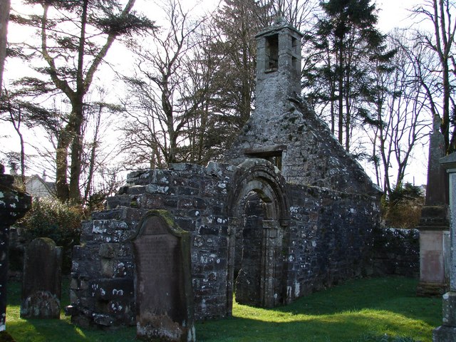
Irelandton Hill also holds historical significance, as it is believed to have been a site of human activity since ancient times. Archaeological remains, including stone circles and burial cairns, have been discovered in the area, providing evidence of early settlement and cultural practices.

Overall, Irelandton Hill provides a serene and picturesque setting, offering visitors the opportunity to immerse themselves in nature's beauty while exploring the rich history of the Kirkcudbrightshire region.

If you have any feedback on the listing, please let us know in the comments section below.

Irelandton Hill Images

Images are sourced within 2km of 54.881125/-4.1039506 or Grid Reference NX6556. Thanks to Geograph Open Source API. All images are credited.

The Doon and old fort West of Twynholm Why is it that a fair number of old hill forts etc are tree-enshrouded?
The Doon and old fort West of Twynholm
Why is it that a fair number of old hill forts etc are tree-enshrouded?
Upstream, Spout Burn and Larks Plantation
Mark house from road steadings on left
Mark house from road
steadings on left
Looking towards Meikle Culcaigrie Hill Meikle Culcaigrie Hill from under the sheepfold near Trostrie. Sheepfold is on the left. Put this photo against the hill in the foreground.
Looking towards Meikle Culcaigrie Hill
Meikle Culcaigrie Hill from under the sheepfold near Trostrie. Sheepfold is on the left. Put this photo against the hill in the foreground.
A75 Gretna-Stranraer Road near Barluka, Twynholm. Picture taken from the lay-by just west of the drive leading to Barwhinnock.
A75 Gretna-Stranraer Road near Barluka, Twynholm.
Picture taken from the lay-by just west of the drive leading to Barwhinnock.
Tannymass - Old Military Road View westward along the unclassified Old Military Road between Twynholm and Gatehouse-of-Fleet. In the distance is Cairnharrow (456m).
Tannymass - Old Military Road
View westward along the unclassified Old Military Road between Twynholm and Gatehouse-of-Fleet. In the distance is Cairnharrow (456m).
Tanymaas Farm Winter muddy track leads up from the Old Military Road to thelonely Tanymaas Farm. NNW are the cottages and farm of Greenslack.
Tanymaas Farm
Winter muddy track leads up from the Old Military Road to thelonely Tanymaas Farm. NNW are the cottages and farm of Greenslack.
Gategill Hill Rather featureless stretch on the unclassified Old Military Road (Twynholm - Gatehouse-of-Fleet) with ascending fields on either side. Gategill Hill rises on the S (left of photo).
Gategill Hill
Rather featureless stretch on the unclassified Old Military Road (Twynholm - Gatehouse-of-Fleet) with ascending fields on either side. Gategill Hill rises on the S (left of photo).
Muiryard The Old Military Road (Gatehouse-of-Fleet - Twynholm) descends to Muiryard before continuing on for a further mile to join the A75 trunk road.
Muiryard
The Old Military Road (Gatehouse-of-Fleet - Twynholm) descends to Muiryard before continuing on for a further mile to join the A75 trunk road.
Muiryard Bridge and Farm Bridge over the Muiryard Burn, situated on the unclassified Old Military Road between Twynholm and Gatehouse-of-Fleet.
Muiryard Bridge and Farm
Bridge over the Muiryard Burn, situated on the unclassified Old Military Road between Twynholm and Gatehouse-of-Fleet.
Glengap Road, Twynholm View NNW from the Glengap Road (Redfield) toward the coppices of Mains of Twynholm.
Glengap Road, Twynholm
View NNW from the Glengap Road (Redfield) toward the coppices of Mains of Twynholm.
Redfield View from the Glengap Road SE across the fields toward Redfield house.
Redfield
View from the Glengap Road SE across the fields toward Redfield house.
Muirhead, Twynholm View from the Twynholm-Glengap road of Muirhead farm and cottages. In between on the hill is Muirhead reservoir.
Muirhead, Twynholm
View from the Twynholm-Glengap road of Muirhead farm and cottages. In between on the hill is Muirhead reservoir.
Cairn Farm, Gatehouse Remote farm situated at the end of the lane from Gatehouse of Fleet; situated on the Littleton Burn between Rig of Cairn and Irelandton Moor.
Cairn Farm, Gatehouse
Remote farm situated at the end of the lane from Gatehouse of Fleet; situated on the Littleton Burn between Rig of Cairn and Irelandton Moor.
Farm track to Auchengassel The surfacing material was broken shell giving a rustic look to the track.
Farm track to Auchengassel
The surfacing material was broken shell giving a rustic look to the track.
Irelandton farmhouse
Untrimmed mature hedgerow Not only does the thorn hedge appear never to have been trimmed - it would not keep in much stock in this condition - but it also shows the direction of the prevailing wind.
Untrimmed mature hedgerow
Not only does the thorn hedge appear never to have been trimmed - it would not keep in much stock in this condition - but it also shows the direction of the prevailing wind.
Horses grazing on open ground
Show me another place!

Irelandton Hill is located at Grid Ref: NX6556 (Lat: 54.881125, Lng: -4.1039506)

Unitary Authority: Dumfries and Galloway

Police Authority: Dumfries and Galloway

What 3 Words

///portfolio.regulates.purple. Near Kirkcudbright, Dumfries & Galloway

Nearby Locations

Irelandton Hill

Related Wikis

Twynholm

Twynholm () is a village in Scotland. It is located 2+1⁄4 miles (3.6 km) north-northwest of Kirkcudbright and 4+1⁄2 miles (7.2 km) east of Gatehouse of...

Tarff railway station

Tarff railway station served the village of Ringford, Dumfries and Galloway, Scotland from 1864 to 1965 on the Kirkcudbright Railway. == History == The...

Ringford

Ringford is a village in the historical county of Kirkcudbrightshire in Dumfries and Galloway located at grid reference NX689578 beside the Tarff Water...

Tongland

Tongland is a small village about 2 miles (3 km) north of Kirkcudbright, in the historic county of Kirkcudbrightshire in Dumfries and Galloway, Scotland...

Tongland Abbey

Tungland or Tongland Abbey was a Premonstratensian monastic community located in Tongland in the historical county of Kirkcudbrightshire in Dumfries and...

Gatehouse of Fleet Town Hall

Gatehouse of Fleet Town Hall is a former municipal building in the High Street in Gatehouse of Fleet, Dumfries and Galloway, Scotland. The structure, which...

Gatehouse of Fleet

Gatehouse of Fleet (Scots: Gatehoose o Fleet Scottish Gaelic: Taigh an Rathaid) is a town half in the civil parish of Girthon and half in the parish of...

Cally Palace

Cally Palace, formerly known as Cally House, is an 18th-century country house in the historical county of Kirkcudbrightshire in Dumfries and Galloway...

Nearby Amenities

Located within 500m of 54.881125,-4.1039506
Power: pole
Lat/Long: 54.8825105/-4.1106058
Power: pole
Lat/Long: 54.8776604/-4.1065064
Power: pole
Lat/Long: 54.8783999/-4.1059753
Power: pole
Lat/Long: 54.879143/-4.1054399
Power: pole
Lat/Long: 54.8797003/-4.1063003
Power: pole
Lat/Long: 54.8802576/-4.107148
Power: pole
Lat/Long: 54.8808284/-4.1080169
Power: pole
Lat/Long: 54.8813893/-4.1088858
Power: pole
Lat/Long: 54.8819564/-4.1097462
Power: pole
Lat/Long: 54.8791149/-4.1049768
The data included in this document is from www.openstreetmap.org. The data is made available under ODbL.

Have you been to Irelandton Hill?

Leave your review of Irelandton Hill below (or comments, questions and feedback).