Cooper Croft Hill
Hill, Mountain in Kirkcudbrightshire
Scotland
Cooper Croft Hill

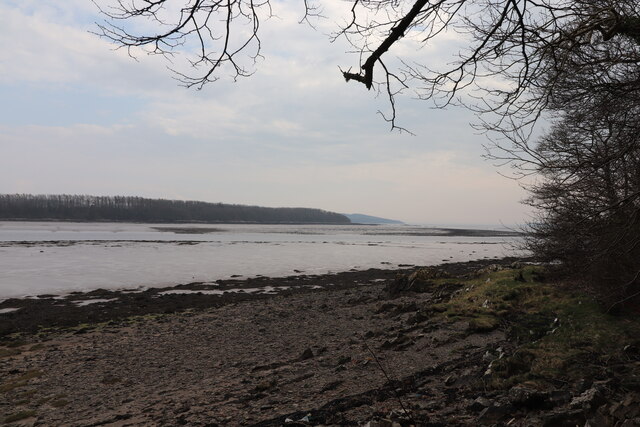
Cooper Croft Hill is a prominent hill located in Kirkcudbrightshire, a historic county in southwest Scotland. Situated near the town of Castle Douglas, this hill is part of the larger Galloway Hills range, which is renowned for its stunning landscapes and scenic beauty.
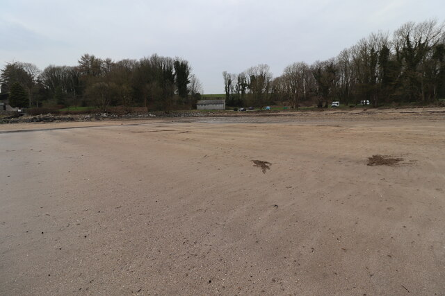
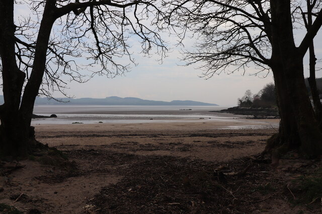
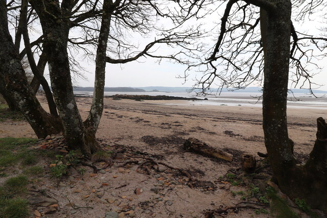
Rising to an elevation of approximately 315 meters (1,033 feet), Cooper Croft Hill offers panoramic views of the surrounding countryside. The hill's gentle slopes are covered with lush green grass and dotted with patches of heather, creating a picturesque setting that attracts both locals and visitors alike.
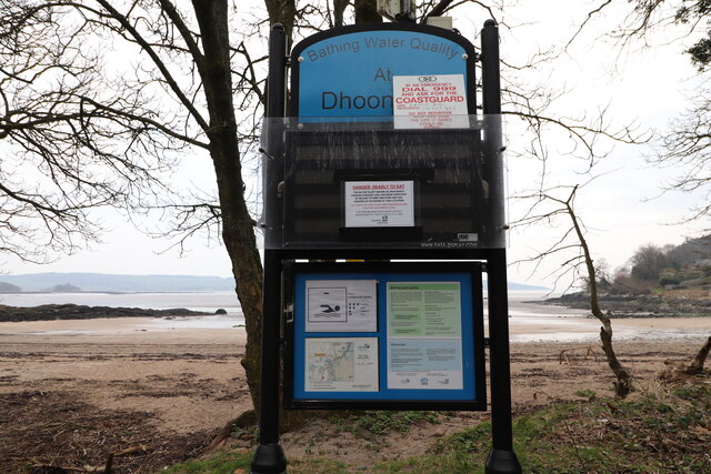
Cooper Croft Hill is a popular destination for outdoor enthusiasts, offering various walking and hiking trails that cater to individuals of all skill levels. The well-maintained paths wind through dense forests, across open moorland, and occasionally provide glimpses of wildlife such as red deer and soaring birds of prey.
For those interested in history and archaeology, Cooper Croft Hill holds additional appeal. The hill is home to several ancient cairns and burial mounds, providing a glimpse into the area's rich past. Visitors can explore these ancient sites and marvel at the craftsmanship of our ancestors.
Whether it's a leisurely stroll or a more challenging hike, a visit to Cooper Croft Hill promises a rewarding experience. With its breathtaking views, diverse flora and fauna, and historical significance, this hill truly captures the essence of Kirkcudbrightshire's natural beauty.
If you have any feedback on the listing, please let us know in the comments section below.
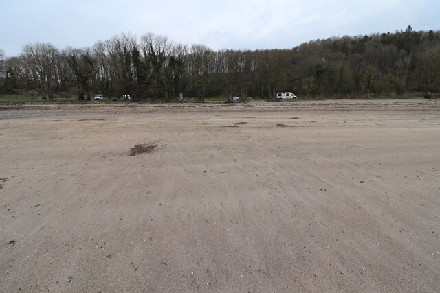
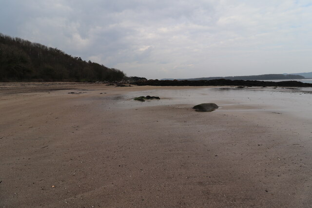
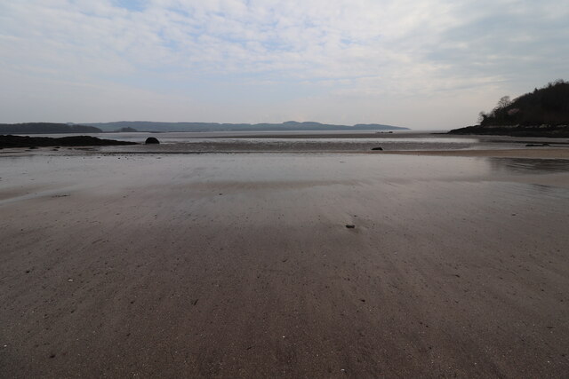
Cooper Croft Hill Images
Images are sourced within 2km of 54.809201/-4.1002099 or Grid Reference NX6548. Thanks to Geograph Open Source API. All images are credited.


Cooper Croft Hill is located at Grid Ref: NX6548 (Lat: 54.809201, Lng: -4.1002099)
Unitary Authority: Dumfries and Galloway
Police Authority: Dumfries and Galloway
What 3 Words
///giants.kickbacks.rarely. Near Kirkcudbright, Dumfries & Galloway
Nearby Locations
Related Wikis

Borgue Old House
Borgue Old House is a ruined Y-plan house, about 300 metres (0.2 mi) east of Borgue in Dumfries and Galloway, Scotland. Built in 1680, but probably incorporating...

River Dee, Galloway
The River Dee (Scottish Gaelic: Dè / Uisge Dhè), in south-west Scotland, flows from its source in Loch Dee amongst the Galloway Hills, firstly to Clatteringshaws...

Borgue, Dumfries and Galloway
Borgue (pronounced /ˈbɔrɡ/; Scottish Gaelic: Borgh) is a village and parish in the Stewartry of Kirkcudbright in Dumfries and Galloway, Scotland. It lies...

St Cuthbert Wanderers F.C.
Saint Cuthbert Wanderers Football Club are a football club from the town of Kirkcudbright in the Stewartry in Galloway, Scotland. They play in the South...
Kirkcudbright Castle
Kirkcudbright Castle, was a castle that was located on the banks of the River Dee, in Kirkcudbright, Scotland.A motte and bailey castle was built in the...
Kirkcudbright Academy
Kirkcudbright Academy is a state funded, six-year secondary school in Kirkcudbright, Scotland with about 400 pupils and 87 staff including teaching, support...
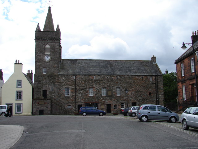
Kirkcudbright Tolbooth
Kirkcudbright Tolbooth is a historic municipal building in Kirkcudbright in Dumfries and Galloway, Scotland. Built between 1627 and 1629 to serve the town...

Kirkcudbright
Kirkcudbright ( kur-KOO-bree; Scots: Kirkcoubrie; Scottish Gaelic: Cille Chùithbeirt) is a town, parish and a Royal Burgh from 1455 in Kirkcudbrightshire...
Nearby Amenities
Located within 500m of 54.809201,-4.1002099Have you been to Cooper Croft Hill?
Leave your review of Cooper Croft Hill below (or comments, questions and feedback).