Bryn Dinas
Hill, Mountain in Merionethshire
Wales
Bryn Dinas

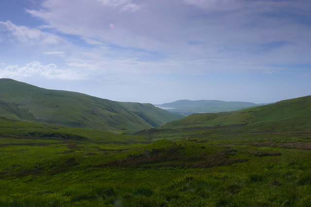
Bryn Dinas is a prominent hill located in the county of Merionethshire, Wales. Situated in Snowdonia National Park, it forms part of the rugged and picturesque landscape that characterizes the region. The hill stands at an elevation of approximately 346 meters (1,135 feet) above sea level.
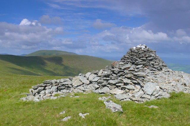
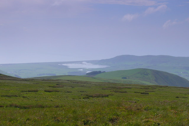
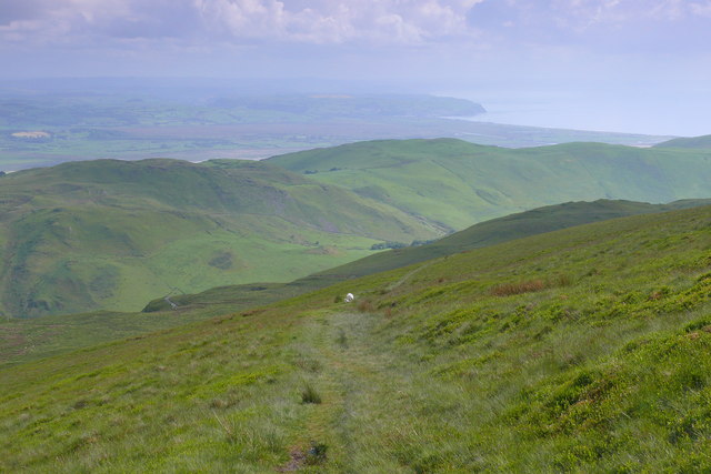
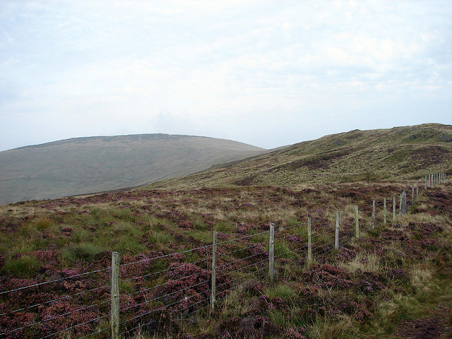
Bryn Dinas is known for its unique geological features, with its summit offering breathtaking views of the surrounding countryside. The hill is predominantly composed of volcanic rock, which has been eroded over thousands of years to create the distinctive shape it possesses today. The slopes of Bryn Dinas are covered in a variety of vegetation, including heather and grasses, adding to its scenic beauty.
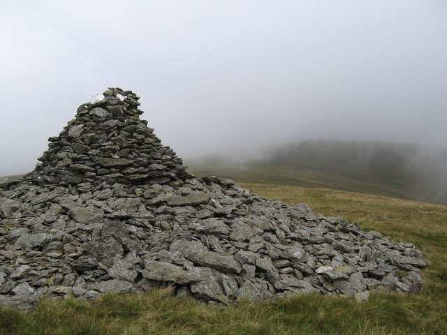
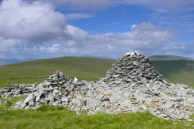
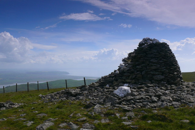
The hill is also of historical significance, as it is home to the remains of an Iron Age hillfort. The fortification, believed to have been constructed around 500 BC, is surrounded by defensive earthworks and offers insight into the ancient inhabitants of the area. The site has been studied extensively by archaeologists, revealing artifacts and structures that provide valuable information about the Iron Age civilization.
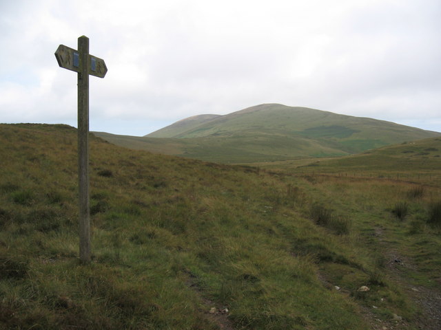
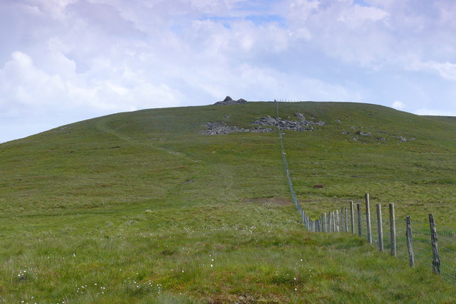
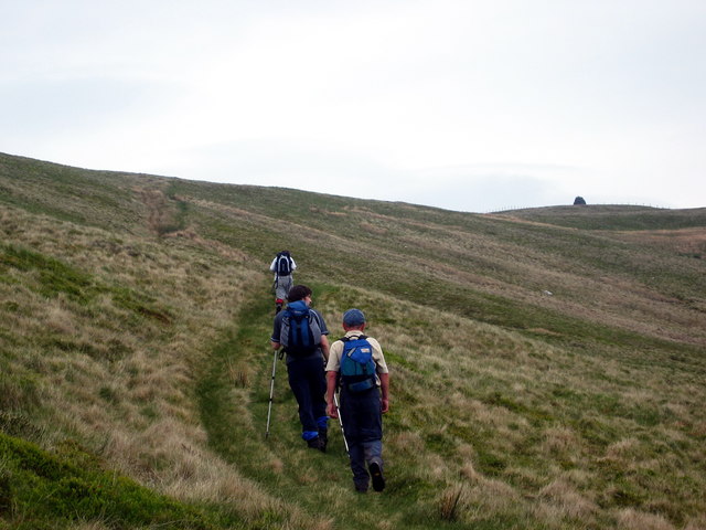
Bryn Dinas attracts outdoor enthusiasts and hikers who are drawn to its natural beauty and challenging trails. Several walking paths traverse the hill, offering different levels of difficulty for both beginners and experienced hikers. The hill is a popular destination for nature lovers and those seeking stunning panoramic views of the surrounding landscapes.
In conclusion, Bryn Dinas is a notable hill in Merionethshire, Wales, renowned for its geological features, historical significance, and scenic beauty. It is a must-visit destination for those exploring Snowdonia National Park.
If you have any feedback on the listing, please let us know in the comments section below.
Bryn Dinas Images
Images are sourced within 2km of 52.580409/-3.9986411 or Grid Reference SN6499. Thanks to Geograph Open Source API. All images are credited.


Bryn Dinas is located at Grid Ref: SN6499 (Lat: 52.580409, Lng: -3.9986411)
Unitary Authority: Gwynedd
Police Authority: North Wales
What 3 Words
///lovely.weddings.boards. Near Tywyn, Gwynedd
Nearby Locations
Related Wikis

Hen Dyffryn Gwyn
Hen Dyffryn Gwyn is a Grade II* listed building in Tywyn, Gwynedd. The house has been dated to 1640 and is listed for being a well-preserved example of...

Abertafol railway station
Abertafol railway station was a halt located on the north shore of the Dyfi estuary in the old Welsh county of Merionethshire (south Gwynedd). == History... ==
Frongoch quarry, Aberdyfi
Frongoch slate quarry (also known as Fron-goch slate quarry or Fron-gôch slate quarry) was a slate quarry and mine in Mid Wales, approximately halfway...

Gogarth railway station
Gogarth railway station served a sparsely populated area on the north shore of the Dyfi estuary in the Welsh county of Merionethshire. == History == Opened...

Brynglas railway station
Brynglas railway station (also known as Bryn-glas railway station) is a request stop on the Talyllyn Railway, serving the hamlet of Pandy near Bryn-crug...

Rhydyronen railway station
Rhydyronen railway station (also known as Rhyd-yr-onen railway station) is a request stop on the Talyllyn Railway, near Tywyn, Gwynedd in mid-Wales. It...

Dolgoch Falls
The Dolgoch Falls (also known as the Dol-goch falls, or the Dôl-goch falls (English: 'red meadow falls') are a series of three waterfalls near Tywyn in...
Dolgoch quarry, Gwynedd
Dolgoch slate quarry (also spelt Dol-goch slate quarry or Dol-gôch slate quarry) was a slate quarry in Mid Wales, approximately halfway between Bryn-crug...
Nearby Amenities
Located within 500m of 52.580409,-3.9986411Have you been to Bryn Dinas?
Leave your review of Bryn Dinas below (or comments, questions and feedback).